The best walks and hikes around Chambost-Allières
4.7
(903)
5,400
hikers
13
hikes
Hiking around Chambost-Allières offers a diverse range of trails within a semi-mountain atmosphere, characterized by rolling hills and extensive woodlands. The region features the significant Cantinière Forest, crisscrossed with numerous paths, and provides panoramic views over the Azergues valley and the Monts du Beaujolais. Ascents around areas like the Col du Chêne and Col du Joncin reveal varied landscapes, from dense forest sections to open ridges.
Best hiking trails around Chambost-Allières
- The most popular hiking route is Font Froide Spring…
Last updated: July 9, 2026
4.7
(21)
272
hikers
3.10km
00:59
130m
120m
Easy hike. Great for any fitness level. Easily-accessible paths. Suitable for all skill levels.
4.8
(4)
31
hikers
Hard hike. Very good fitness required. Mostly accessible paths. Sure-footedness required.

Sign up for free
4.5
(2)
10
hikers
17.7km
05:27
620m
620m
Hard hike. Very good fitness required. Easily-accessible paths. Suitable for all skill levels.
4.5
(2)
9
hikers
15.9km
04:43
470m
470m
Moderate hike. Good fitness required. Easily-accessible paths. Suitable for all skill levels.
3.0
(1)
8
hikers
14.6km
04:22
480m
480m
Moderate hike. Good fitness required. Easily-accessible paths. Suitable for all skill levels.
Get access to more routes and recommendations from other explorers.
Sign up for free
Already have an account?
Our route recommendations are based on thousands of hikes, rides, and runs completed by other people on komoot.
Start today with a free account
Your next adventure awaits.
Login or Signup

Tips from the Community

a refreshing spring at the crossroads of the forest road and the forest of experiences
0
0

This path crosses the woods next to the Col du Chêne. We progress here among the trees, sheltered from the sun.
1
0

I love this point of view, before going down again in a fast single with small jumps... :-)
0
0

Beautiful pass to do in the extension of the Col du Joncin on the Azergues side or from Saule d'Oingt on the Beaujolais side. The link between le Joncin and le Chêne is particularly beautiful with multiple viewpoints. If you go down to Saule d'Oingt, the view is incredible, especially with the rising sun!
0
0
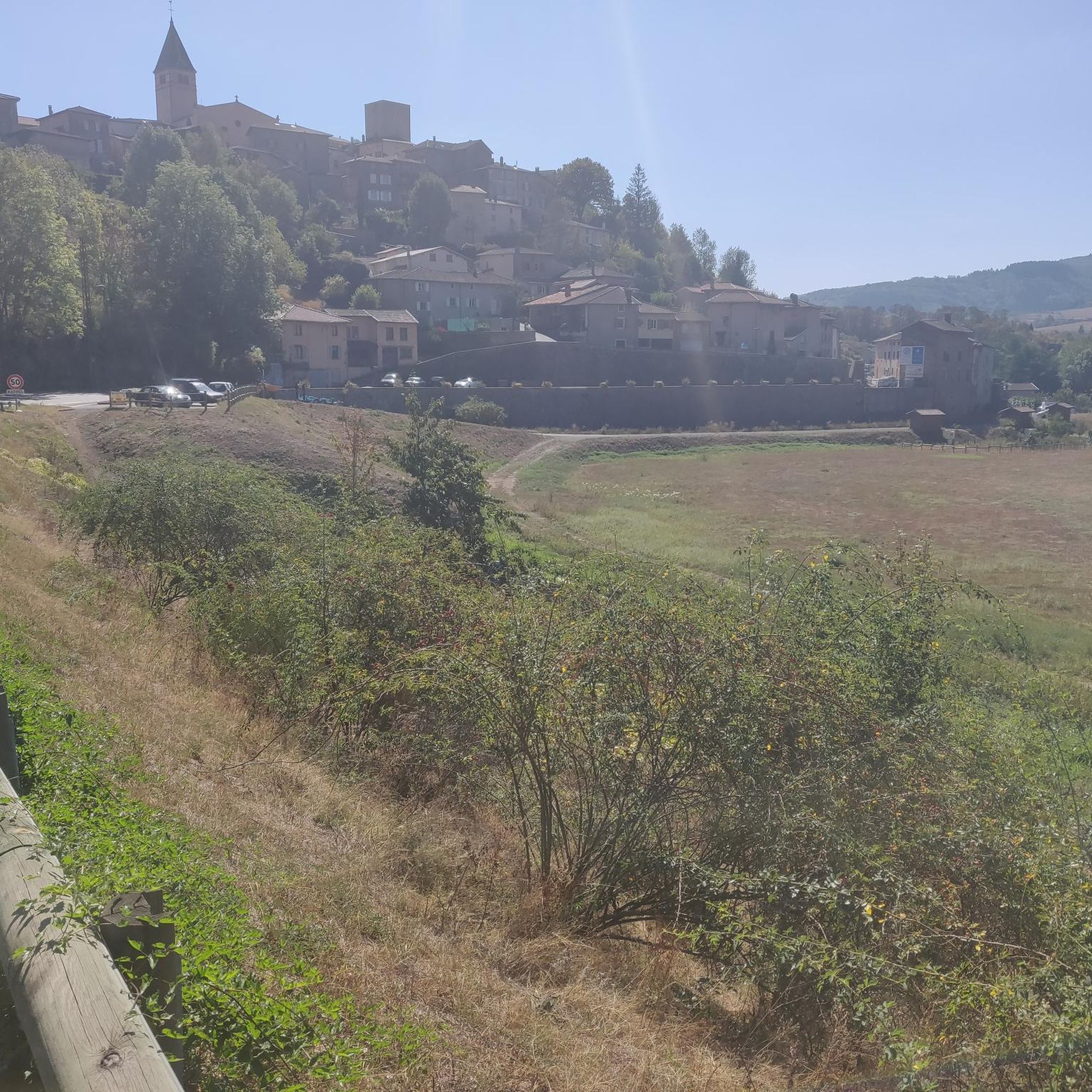
Nice pass to do from: Chambost-Allières, Chamelet, Létra, La Saule d'Oingt in the extension of the Col du Chêne. Nice percentages on the Chamelet side, Létra and in the beginning of the ascent from Chambost, at the end the slope flattens out. From Chambost, we climb in a beautiful semi-mountain atmosphere. The connection from the Col du Chêne to the Joncin offers a magnificent view all along over the Azergues. It is the starting point of a beautiful forest trail in the Cantinière forest, to be done in gravel, and mountain bike trails.
2
0
Nice pass to do from: Chambost-Allières, Chamelet, Létra, La Saule d'Oingt in the extension of the Col du Chêne. Nice percentages on the Chamelet side, Létra and in the beginning of the ascent from Chambost, at the end the slope flattens out. From Chambost, we climb in a beautiful semi-mountain atmosphere. The connection from the Col du Chêne to the Joncin offers a magnificent view all along over the Azergues. It is the starting point of a beautiful forest trail in the Cantinière forest, to be done in gravel, and mountain bike trails.
0
0

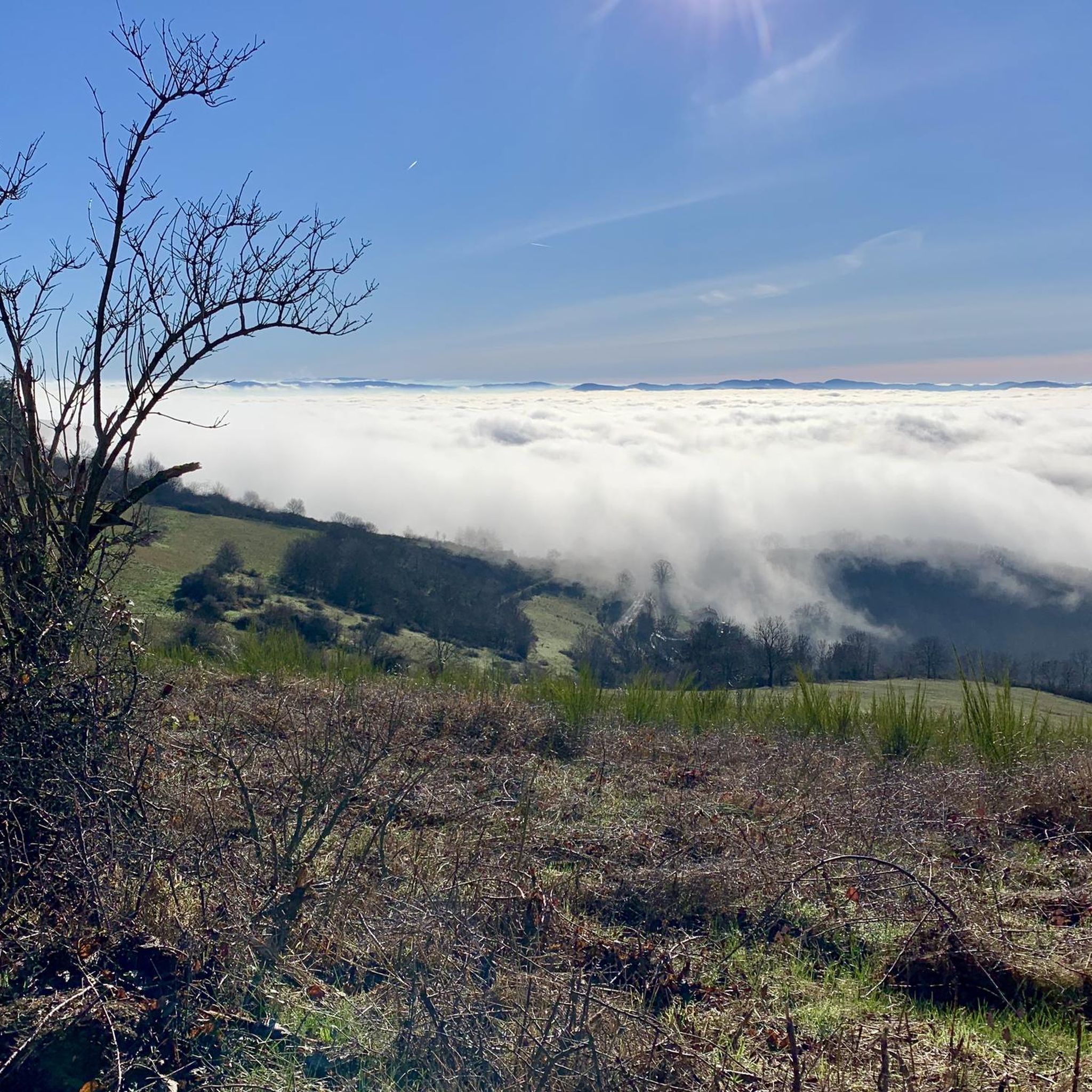
While walking along this ridge line, you enjoy a magnificent panorama of the Beaujolais mountains.
2
0

Flat and grassy summit ideal for picnics.
0
0
Frequently Asked Questions
How many hiking trails are available around Chambost-Allières?
There are over 300 hiking routes around Chambost-Allières, offering a diverse range of options. These include nearly 90 easy trails, over 170 moderate routes, and almost 40 challenging paths, ensuring something for every fitness level.
Are there any family-friendly hiking trails in Chambost-Allières?
Yes, the region offers several family-friendly options. A notable one is the 'Forest of Experiences' trail within the Cantinière Forest, a 3.5 km fun and artistic route designed to engage children and adults with seven themed stations and artistic works. For a shorter, easy hike, consider the Font Froide Spring loop from Villefranche-sur-Saône, which is just over 3 km long.
What are the best places for panoramic views in the Chambost-Allières area?
Hikers can enjoy superb panoramic views along the ridge connecting the Col du Chêne and Col du Joncin, offering vistas of the Azergues valley and the Monts du Beaujolais. A lookout point in the Cantinière Forest also provides breathtaking views of the Green Beaujolais and the Pyramide massif. The Croix de Paisselay offers lovely views of the surrounding forests.
Are there any circular hiking routes around Chambost-Allières?
Yes, many routes in the area are circular. For example, the Col du Chêne wood – Col du Chêne (725 m) loop from Col du Chêne is a moderate 10.4 km trail. Another moderate option is the Lacrampe Crest – Crêt Lacrampe Summit loop from Saint-Cyr-le-Chatoux, covering about 9.1 km.
What kind of natural attractions can I find along the trails?
Beyond the extensive forests, you can discover natural highlights like the serene Lac des Sapins, an artificial lake surrounded by beautiful woodlands. The region also features unique natural monuments such as La Saule d'Oingt. The 'Forest of Experiences' in the Cantinière Forest is a unique blend of nature and art.
What do other hikers say about the trails in Chambost-Allières?
The hiking trails around Chambost-Allières are highly rated by the komoot community, with an average score of 4.7 stars from over 770 reviews. Nearly 5,000 hikers have explored the varied terrain, often praising the quiet woodlands, scenic ridges, and the semi-mountain atmosphere.
Are there any historical or cultural landmarks to visit near the hiking routes?
Yes, the medieval village of Oingt, ranked among the most beautiful villages in France, is a short distance away. Perched on a hill, it offers superb views and is worth exploring. You can also find several castles in the wider region, such as Montmelas Castle and Rochebonne Castle, which are interesting historical sites.
What is the best time of year to go hiking in Chambost-Allières?
The region's 'semi-mountain atmosphere' and diverse landscapes make it suitable for hiking across multiple seasons. Spring and autumn offer pleasant temperatures and vibrant foliage, while summer provides lush greenery. Even winter can be beautiful for hiking, though some higher elevation paths might require more preparation.
Are there any long-distance hiking paths that pass through Chambost-Allières?
Yes, sections of well-known long-distance trails, such as the GR®P du Tour des Pierres Dorées and the GR®76, crisscross the Cantinière Forest. These offer opportunities for extended hikes or to connect with longer routes.
Where can I find parking for hiking trails in Chambost-Allières?
Many popular trailheads, especially those around areas like the Col du Chêne and Col du Joncin, typically have designated parking areas. For specific routes, checking the komoot tour details for the starting point will often provide information on available parking.
What is the difficulty level of hikes in Chambost-Allières?
The trails range from easy strolls to more challenging routes. You'll find nearly 90 easy paths, over 170 moderate trails like the Col du Chêne wood – Saint-Cyr-le-Chatoux loop from Col du Chêne, and almost 40 difficult options, catering to various fitness levels and hiking experiences.
Are there any specific mountain passes I can explore while hiking?
The area is known for its scenic mountain passes. You can explore passes such as Cambuse Pass, Col de Saint-Bonnet, and Col de la Croix des Fourches. These passes often offer great views and are integral parts of many hiking routes.
Most popular routes around Chambost-Allières
Most popular attractions around Chambost-Allières

Get inspired with the komoot mobile app


Explore more
Browse the best Hikes in other regions.
