The best road cycling routes around Breitenbach
4.5
(151)
3,567
riders
80
rides
Road cycling around Breitenbach offers diverse terrain, from the rolling hills and valleys of the Swiss Breitenbach to the challenging ascents of the Vosges mountains in the French Alsace region. The landscape features extensive forests, agricultural lands, and picturesque vineyards, providing varied backdrops for rides. Cyclists can navigate quiet roads and cycleways, encountering both gentle gradients and significant climbs. This region provides a mix of terrain suitable for different road cycling preferences.
Best road cycling routes around Breitenbach
- The most…
Last updated: July 5, 2026
49
riders
56.4km
03:13
1,350m
1,360m
Hard road ride. Very good fitness required. Mostly well-paved surfaces and easy to ride.
4.0
(3)
95
riders
57.9km
02:49
880m
880m
Moderate road ride. Good fitness required. Mostly well-paved surfaces and easy to ride.

Sign up for free
39
riders
14.7km
00:45
230m
230m
Easy road ride. Great for any fitness level. Mostly well-paved surfaces and easy to ride.
4.0
(1)
15
riders
23.6km
01:05
290m
290m
Easy road ride. Great for any fitness level. Mostly well-paved surfaces and easy to ride.
5.0
(1)
21
riders
27.8km
01:46
830m
830m
Moderate road ride. Good fitness required. Mostly well-paved surfaces and easy to ride.
Get access to more routes and recommendations from other explorers.
Sign up for free
Already have an account?
Our route recommendations are based on thousands of hikes, rides, and runs completed by other people on komoot.
Start today with a free account
Your next adventure awaits.
Login or Signup

Tips from the Community

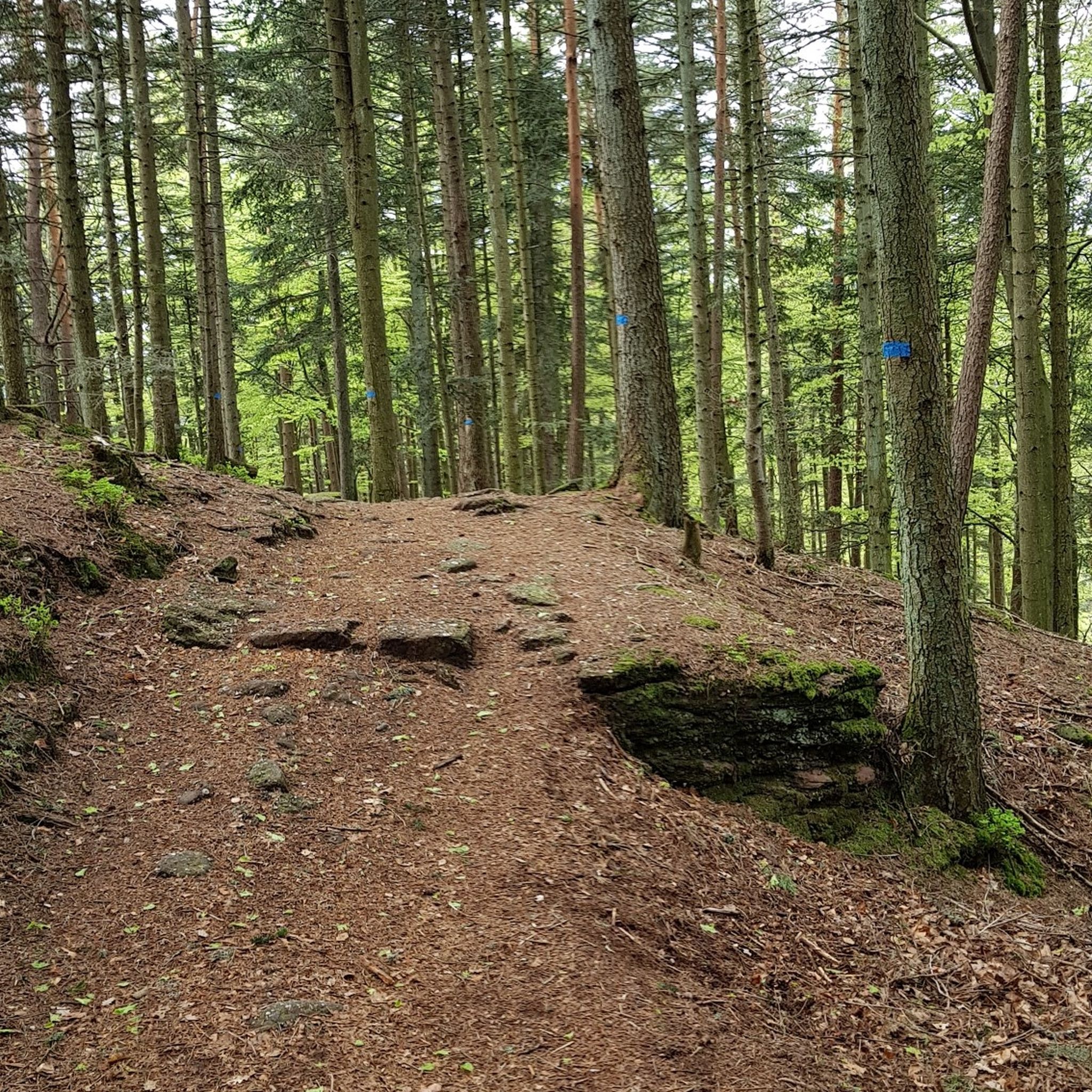
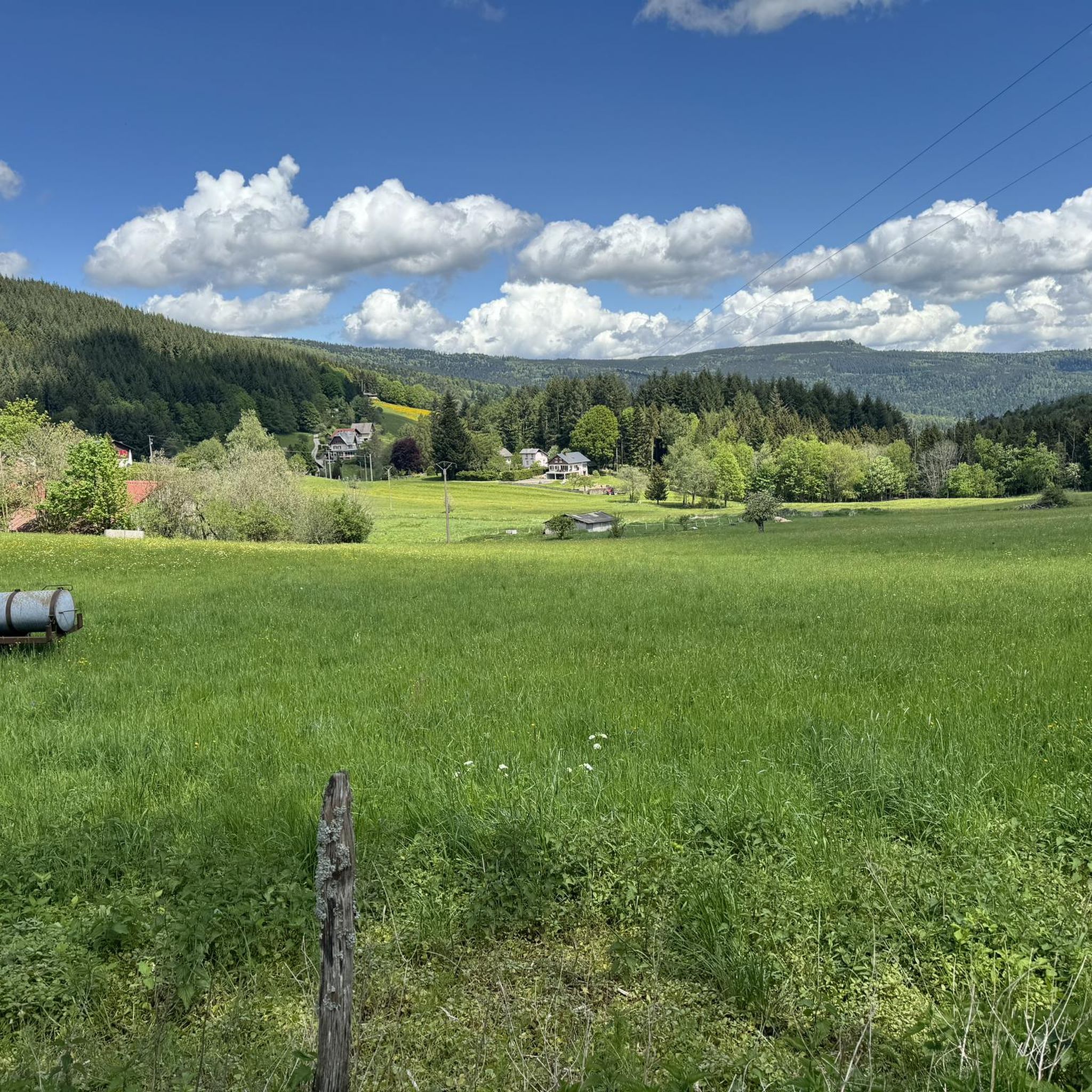
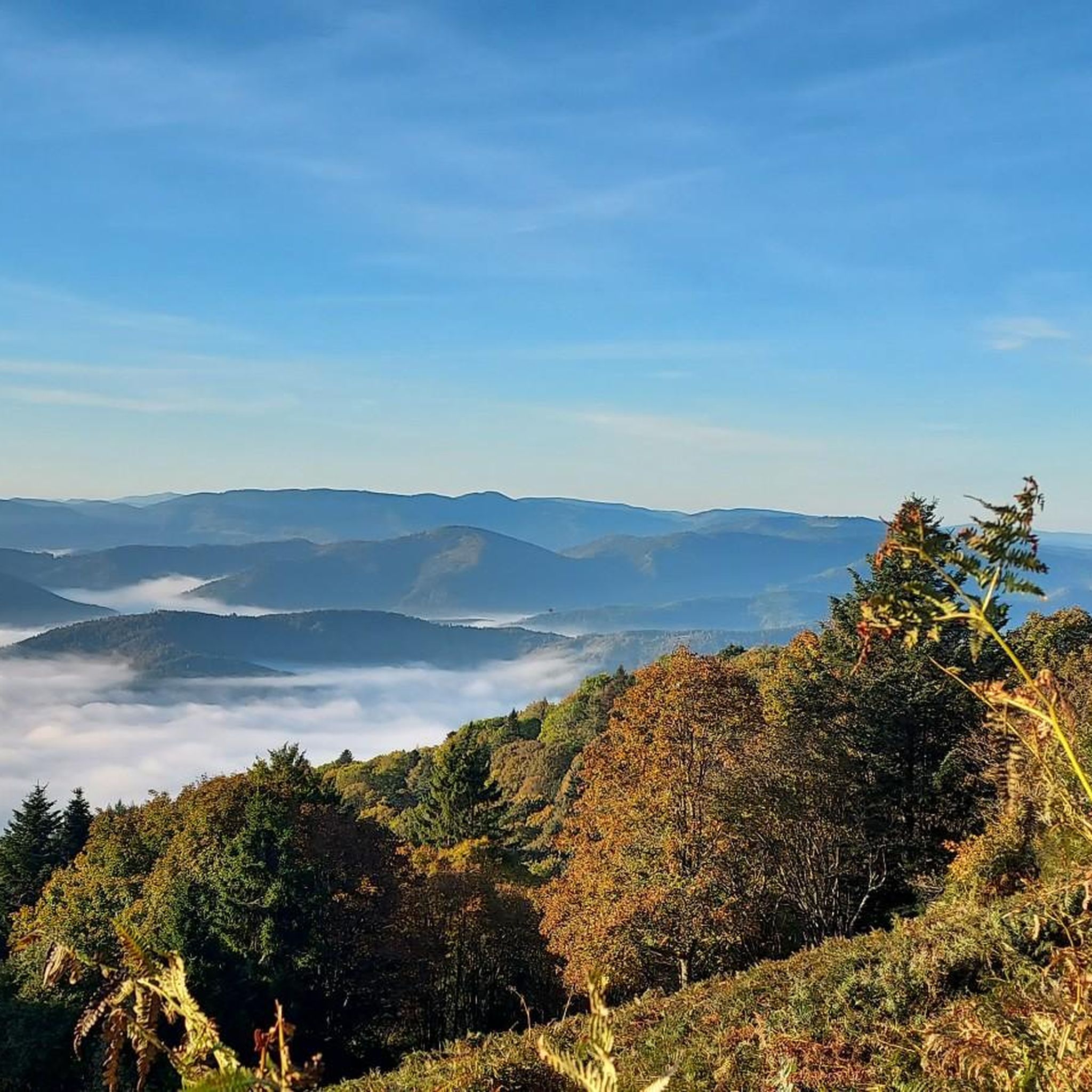
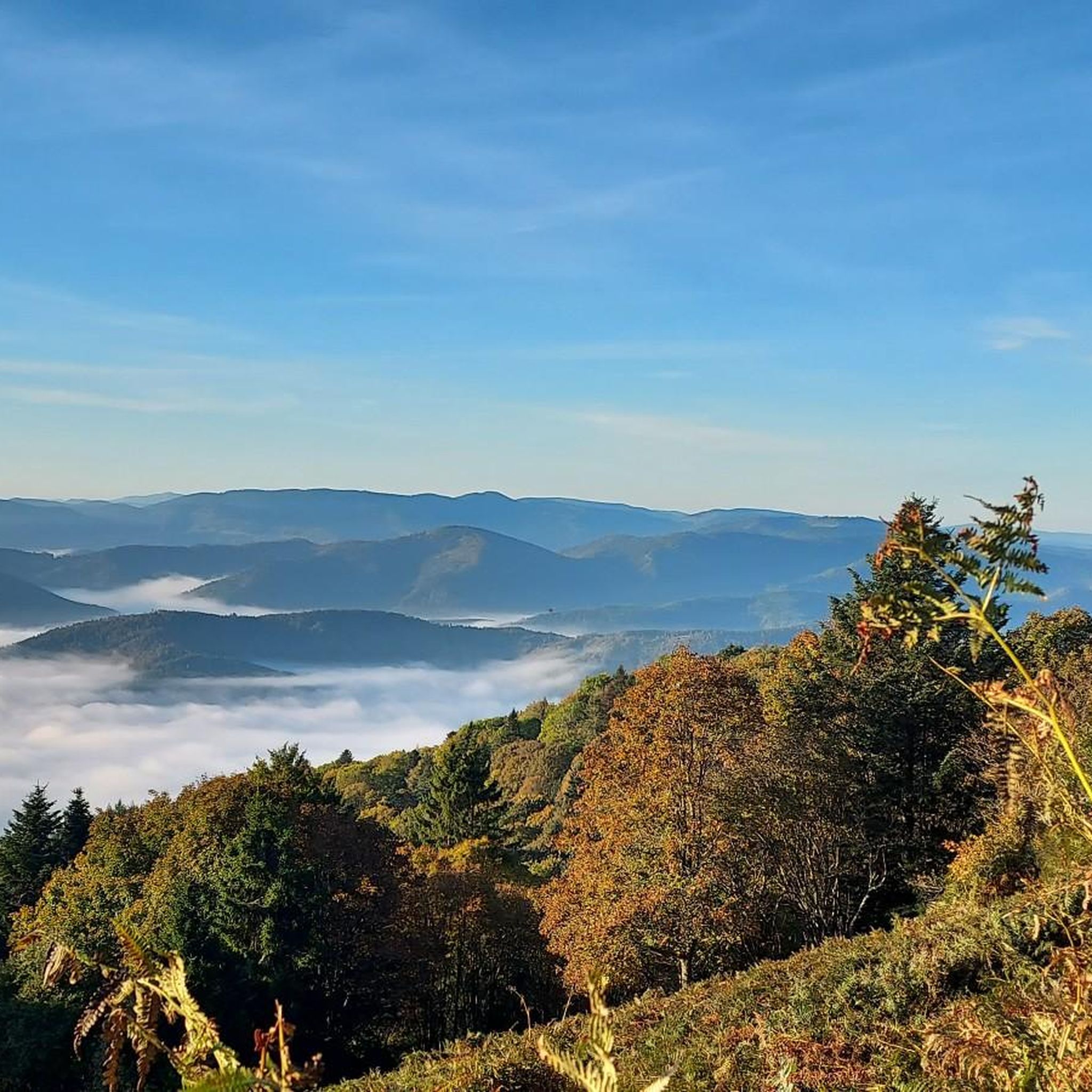
The Champ du Feu, at 1099 meters, is the highest mountain in the Bas-Rhin department in the Vosges in Alsace. It is located between the towns of Belmont and Le Hohwald and consists of a vast plateau with forests, meadows, and moorlands. The area is a popular nature and recreational area. In summer, it is mainly used for hiking, mountain biking, and nature observation. In winter, there is a small ski area with cross-country trails and simple slopes for winter sports. From the Champ du Feu, the La Serva stream originates, which later forms the Cascade de la Serva. In clear weather, the summit offers wide views over the Vosges, the Rhine plain, and even the Black Forest. The area is particularly known for its quiet nature, high moors, sunrises and starry skies, as well as well-marked hiking trails.
0
0


Any fitness level? Well... pretty steep! But after a third of the (heavy) climb, it's all downhill.
0
0

... is recommended before the long climb to the Champ du Feu
0
0

Fountain with cool drinking water in Fouchy on Rue Principale in the town center.
0
0

Magnificent pass to climb from different slopes (Breitenbach, Steige, Vallée de la Bruche, Andlau). It is also a crossing point towards the Champ du feu, the Hohwald, the Mont Ste Odile.
0
0
Frequently Asked Questions
How many road cycling routes are available around Breitenbach?
There are over 80 road cycling routes around Breitenbach, offering a wide range of options for different skill levels and preferences. These include routes in both the Swiss Breitenbach and the French Alsace region.
When is the best time of year for road cycling in Breitenbach?
The spring and early summer, particularly April and May, are ideal for road cycling in the Swiss Breitenbach due to pleasant weather. In the Alsace region, the cycling season generally extends through summer and early autumn, allowing you to enjoy the vineyards and mountain scenery.
What kind of terrain can I expect on road cycling routes in Breitenbach?
You can expect diverse terrain. The Swiss Breitenbach features rolling hills and valleys, often on quiet roads and cycleways. In the French Alsace region, routes can range from gentle rides through vineyards along the Alsace Wine Route to challenging ascents in the Vosges mountains, such as those found around the Champ du Feu massif.
Are there challenging road cycling routes for experienced riders?
Yes, experienced riders will find plenty of challenging routes. For instance, the Col de Steige – Urbeis Pass loop from Breitenbach is a difficult 64 km route with significant elevation gain. Another demanding option is the Champ du Feu – Au Champ du Feu loop from Villé, which features sustained climbs through the massif.
Are there any easy or family-friendly road cycling routes?
While many routes involve climbs, there are easier options, especially in the valleys and along dedicated cycle paths. The Alsace Wine Route, for example, offers sections that are more gentle and suitable for a relaxed pace, allowing families to enjoy the scenic vineyards and charming villages.
What scenic viewpoints or landmarks can I see along the road cycling routes?
Road cycling routes in the region offer numerous scenic spots. In the Swiss Breitenbach, you can enjoy views of Naturpark Thal and the picturesque rural scenery. In Alsace, routes often pass through vineyards and offer panoramic views of the Vosges mountains. You might also encounter historic sites like Jadelot Kiosk Viewpoint or various castles such as Bernstein Castle and Ortenbourg Castle.
Are there any historical sites or castles accessible by road bike?
Absolutely. The Alsace region, in particular, is rich in history. Many routes will take you past or near impressive ruins like Bernstein Castle, Andlau Castle, and Ortenbourg Castle, offering glimpses into the region's past amidst beautiful landscapes.
Can I find cafes or places to stop for refreshments along the routes?
Yes, many routes, especially those passing through villages or popular areas like the Alsace Wine Route, have cafes, restaurants, and inns where you can stop for refreshments. For example, you might find places like Rothlach Inn or Auberge du Moenkalb.
What do other road cyclists enjoy most about road cycling in Breitenbach?
The area is highly rated by the komoot community, with an average score of 4.7 stars. Reviewers often praise the varied terrain, from the serene vineyard routes like the Alsace Wine Route Vineyards – Itterswiller loop from Breitenbach to the challenging mountain passes, and the beautiful natural scenery that provides a rewarding experience for all levels of road cyclists.
Are there any loop trails for road cycling in Breitenbach?
Yes, many road cycling routes around Breitenbach are designed as loops, allowing you to start and end your ride in the same location. Examples include the Champ du Feu – Au Champ du Feu loop from Col du Kreuzweg, which offers a challenging circular ride through the mountains.
How can I access the road cycling routes using public transport?
While specific public transport connections vary, many towns and villages in both the Swiss and French Breitenbach regions are accessible by local buses or trains, which can help you reach starting points for various routes. It's advisable to check local transport schedules and bike carriage policies for specific routes.
Are there any long-distance road cycling routes in the area?
Yes, for those seeking longer rides, the region offers extensive options. The Alsace region is part of a larger cycling network, including EuroVelo routes. The Alsace Wine Route by Bike itself spans over 130 km and can be broken into stages or combined for a multi-day adventure.
Most popular routes around Breitenbach
Most popular attractions around Breitenbach

Get inspired with the komoot mobile app


Explore more
Browse the best Road cycling routes in other regions.
