The best walks and hikes around Breitenbach
4.6
(601)
2,834
hikers
81
hikes
Hiking around Breitenbach offers diverse landscapes, including rolling hills, lush forested areas, and valleys carved by scenic brooks. The region features significant elevation changes, providing routes from gentle paths to more challenging ascents. Hikers can experience varied terrain, with wildflowers in spring and vibrant autumn colors.
Best hiking trails around Breitenbach
- The most popular hiking route is La Roche Castle – Champ du Feu loop from Col de la Charbonnière, a 9.7 miles (15.5 km) trail that takes 4…
Last updated: October 12, 2026
4.6
(14)
76
hikers
15.3km
04:40
520m
520m
Moderate hike. Good fitness required. Easily-accessible paths. Suitable for all skill levels.
4.6
(10)
86
hikers
Moderate hike. Good fitness required. Mostly accessible paths. Sure-footedness required.

4.4
(18)
77
hikers
8.67km
02:36
270m
270m
Moderate hike. Good fitness required. Easily-accessible paths. Suitable for all skill levels.
4.5
(8)
71
hikers
Moderate hike. Good fitness required. Mostly accessible paths. Sure-footedness required.
4.6
(16)
53
hikers
11.6km
03:43
490m
500m
Moderate hike. Good fitness required. Easily-accessible paths. Suitable for all skill levels.
Get access to more routes and recommendations from other explorers.
Already have an account?
Our route recommendations are based on thousands of hikes, rides, and runs completed by other people on komoot.
Start today with a free account
Your next adventure awaits.

Tips from the Community

Below the Kreuzweg parking lot you will find the Auberge le Kreuzweg. Coming from above, on the right. Komoot pushed the location to the wrong side for me 🥳 Amazingly delicious food in a great location with super friendly service. Everything freshly prepared and home-cooked. Absolute top recommendation 😋🥰
0
0

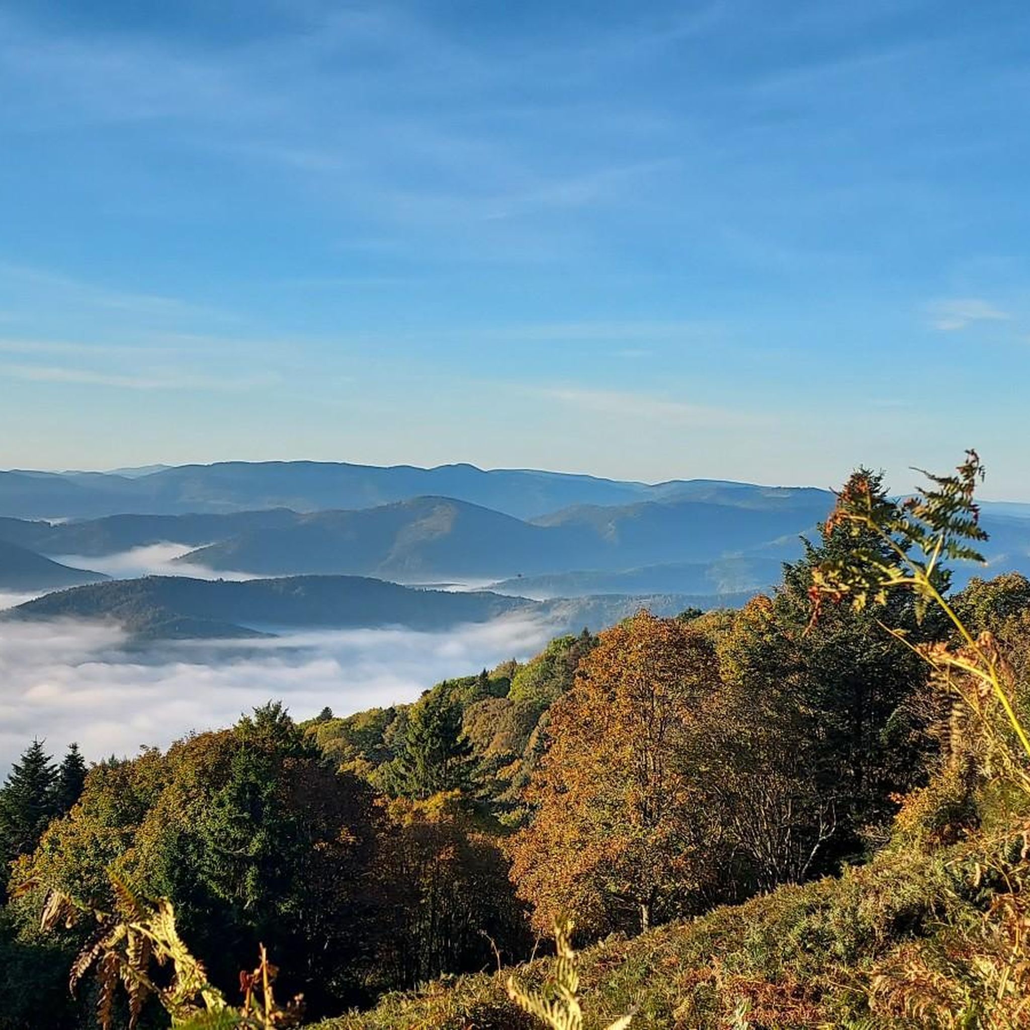
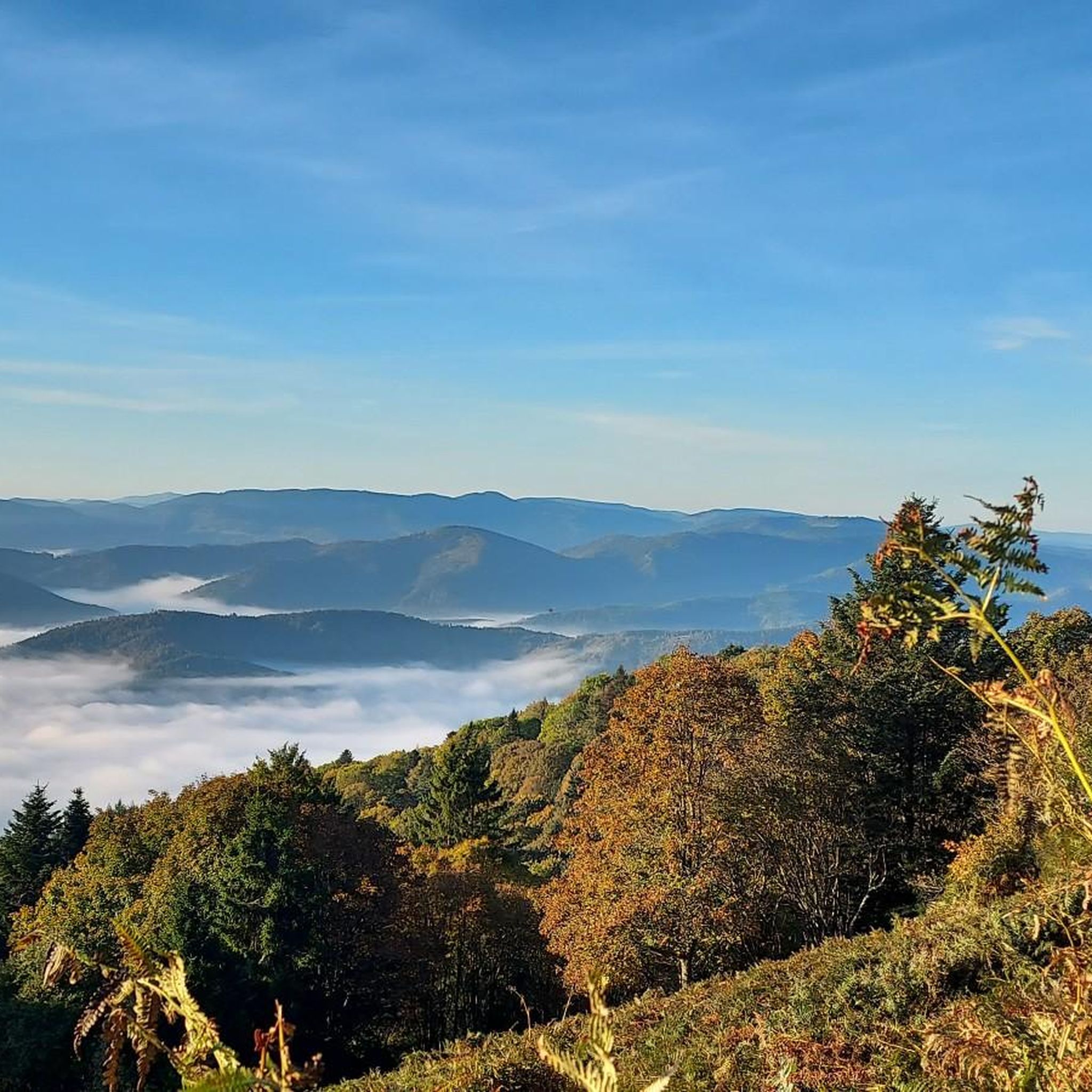
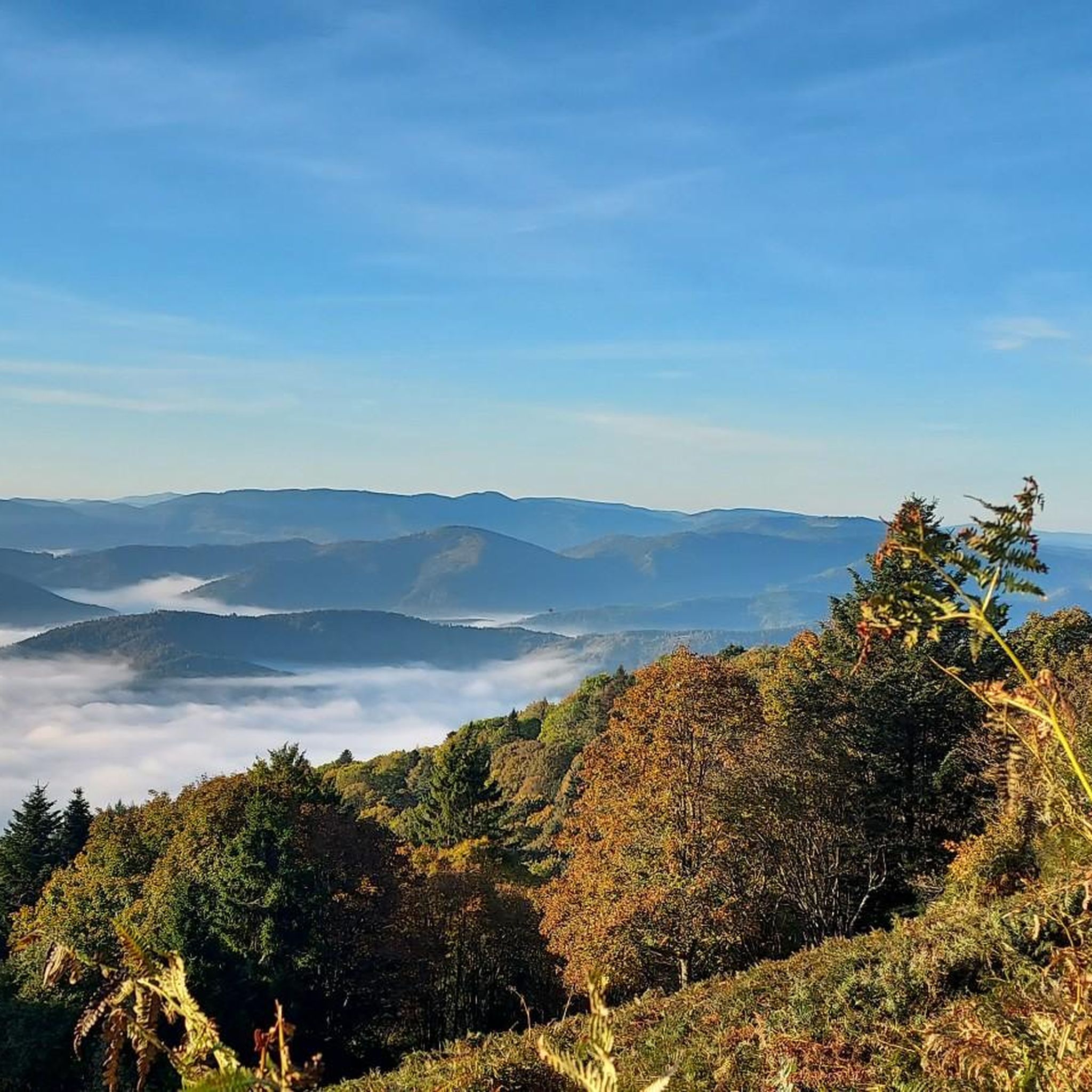
The Champ du Feu, at 1099 meters, is the highest mountain in the Bas-Rhin department in the Vosges in Alsace. It is located between the towns of Belmont and Le Hohwald and consists of a vast plateau with forests, meadows, and moorlands. The area is a popular nature and recreational area. In summer, it is mainly used for hiking, mountain biking, and nature observation. In winter, there is a small ski area with cross-country trails and simple slopes for winter sports. From the Champ du Feu, the La Serva stream originates, which later forms the Cascade de la Serva. In clear weather, the summit offers wide views over the Vosges, the Rhine plain, and even the Black Forest. The area is particularly known for its quiet nature, high moors, sunrises and starry skies, as well as well-marked hiking trails.
0
0
The Champ du Feu, at 1099 meters, is the highest mountain in the Bas-Rhin department in the Vosges in Alsace. It is located between the towns of Belmont and Le Hohwald and consists of an extensive plateau with forests, meadows, and moorlands. The area is a popular nature and recreation area. In summer, it is mainly used for hiking, mountain biking, and nature observation. In winter, there is a small ski area with cross-country trails and simple slopes for winter sports. The brook La Serva originates from the Champ du Feu, later forming the Cascade de la Serva. In clear weather, the summit offers wide views over the Vosges, the Rhine plain, and as far as the Black Forest. The area is particularly known for its tranquil nature, high moors, sunrises and starry skies, as well as well-marked hiking trails.
0
0

Frequently Asked Questions
How many hiking trails are available around Breitenbach?
Breitenbach offers a wide selection of hiking routes, with over 80 trails recorded on komoot. These range from easy strolls to more challenging ascents, catering to various fitness levels.
Are there easy hiking trails suitable for beginners or casual walkers in Breitenbach?
Yes, Breitenbach has approximately 20 easy hiking trails. These routes often feature gentle paths through rolling hills and valleys, perfect for a relaxed outing. An example is the 6 km "Bench with a view of Eulenkopf – View from Eulenkopf loop" mentioned in the region research, which provides scenic overlooks for shorter outings.
What kind of landscapes can I expect to see while hiking in Breitenbach?
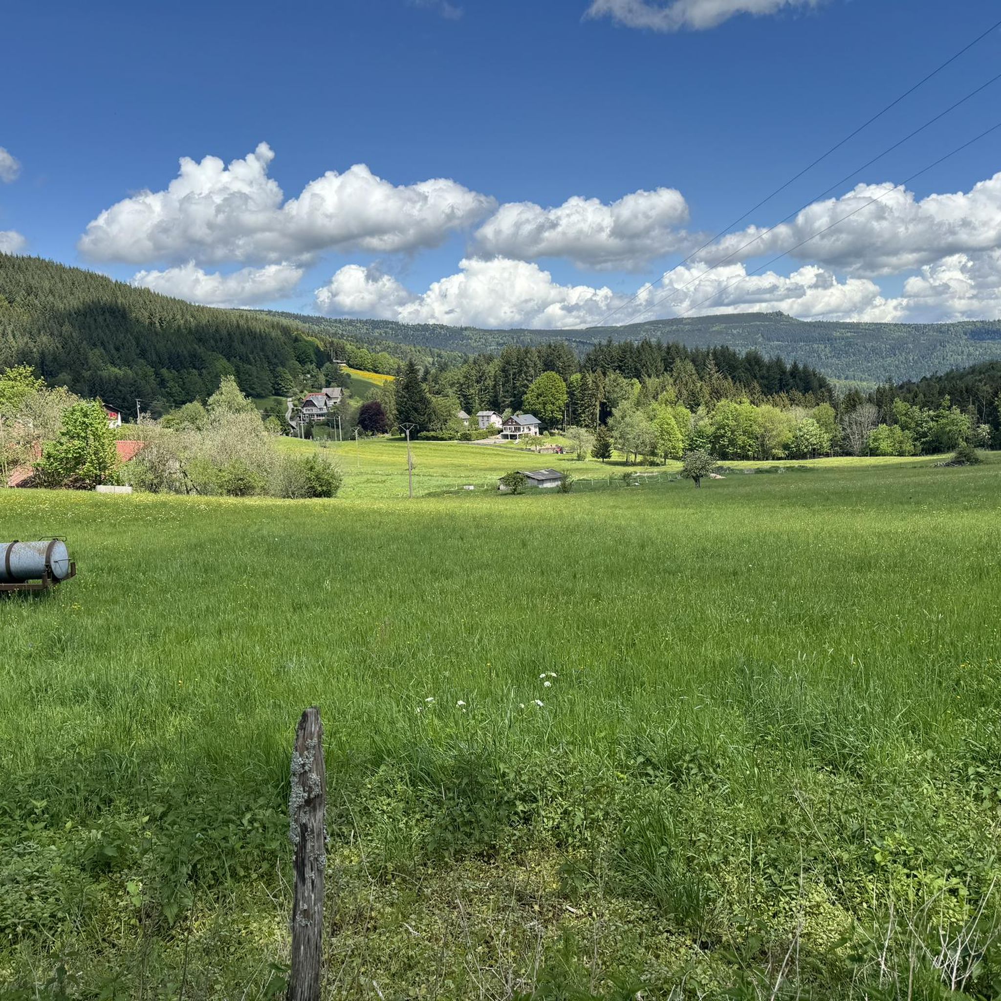
The region is characterized by diverse and picturesque landscapes, including rolling hills, lush forested areas, and valleys carved by scenic brooks like the Labach and Breitenbach. You'll find a mix of dense woodlands and open views, with significant elevation changes on some routes.
Are there any challenging hikes for experienced trekkers in Breitenbach?
Yes, for experienced trekkers, there are 7 difficult trails around Breitenbach. These routes often involve more significant elevation changes and longer distances. The region research also highlights a more demanding climb to Burgberg, which rewards hikers with spectacular views of historic castle ruins.
What are some popular circular hiking routes in Breitenbach?
Many trails in Breitenbach are designed as loops, offering varied scenery. A popular moderate option is the Kreuzweg Pass – Charbonnière Pass loop from Col du Kreuzweg, which covers 11.6 km through forested sections and open views. Another is the "Pfifferling Castle – Panoramic Viewpoint Kaltenkopf loop," a 10.8 km trail offering historical points of interest and panoramic views.
What is the best time of year to go hiking in Breitenbach?
Breitenbach offers beautiful hiking experiences throughout the year. Spring adorns the trails with wildflowers, while autumn transforms the forests into a vibrant sea of colors, providing breathtaking scenery. Summer is ideal for longer days on the trails, and winter can offer serene, snow-covered landscapes for those prepared for colder conditions.
Are there any family-friendly hiking options in Breitenbach?
Yes, Breitenbach is a great destination for families. The region offers shorter routes and a dedicated "nature trail" designed for children, where younger explorers can learn about local flora and fauna. These trails are generally easier and provide an engaging outdoor experience for all ages.
What historical sites or landmarks can I discover along the hiking trails?
Breitenbach's trails often lead past historical points of interest. You can explore various castles in the vicinity, such as Bernstein Castle, Andlau Castle, and Ortenbourg Castle. The "Pfifferling Castle – Panoramic Viewpoint Kaltenkopf loop" is one such trail that incorporates historical sites.
Are there any natural attractions or viewpoints to see while hiking?
Absolutely. Hikers can enjoy fantastic panoramic views over the mountain ranges around Breitenbach, with distant glimpses of the Palatinate on clear days, particularly along the "Höhenweg" panoramic trail. Notable natural monuments include Saint Odile's Spring, Champ du Feu, and the impressive rock formations of Rocher des Géants and Rocher des Celtes.
What do other hikers say about the trails in Breitenbach?
The hiking routes in Breitenbach are highly regarded by the komoot community, holding an average rating of 4.6 stars from over 500 reviews. Hikers frequently praise the diverse terrain, well-maintained paths, and the stunning natural beauty encountered throughout the region.
Are there any trails that follow rivers or offer waterside views?
Yes, the "Lauterbach River route" is a romantic trail that allows hikers to enjoy the soothing sounds of the water amidst beautiful natural surroundings. The region's valleys are also carved by scenic brooks like the Labach and Breitenbach, providing opportunities for waterside walks.
Can I find routes with significant elevation changes for a more strenuous workout?
Breitenbach's varied terrain includes routes with significant elevation changes. For example, the La Roche Castle – Champ du Feu loop from Col de la Charbonnière, a 15.5 km trail, features over 500 meters of ascent, offering a good challenge for those seeking a more strenuous hike.
Most popular routes around Breitenbach
Most popular attractions around Breitenbach

Get inspired with the komoot mobile app


Explore more
Browse the best Hikes in other regions.
