The best road cycling routes around Sancé
4.4
(128)
3,841
riders
525
rides
Road cycling around Sancé offers a diverse landscape for riders. The area features a mix of rolling hills, river valleys, and open rural roads, providing varied terrain for different skill levels. While some routes present significant elevation gains, others follow flatter paths along waterways. The region's geography includes agricultural lands and occasional forested sections, contributing to a varied cycling experience.
Best road cycling routes around Sancé
- The most popular road cycling route is Bike park – Azé Caves loop from…
Last updated: July 4, 2026
5.0
(2)
44
riders
Moderate road ride. Great for any fitness level. Some segments of this route may be unpaved and difficult to ride.
32
riders
44.8km
02:00
410m
410m
Moderate road ride. Good fitness required. Mostly well-paved surfaces and easy to ride.

Sign up for free
48
riders
42.7km
02:08
620m
620m
Moderate road ride. Good fitness required. Mostly well-paved surfaces and easy to ride.
11
riders
37.5km
01:53
360m
370m
Moderate road ride. Good fitness required. Some segments of this route may be unpaved and difficult to ride.
10
riders
48.5km
02:37
780m
780m
Moderate road ride. Good fitness required. Mostly well-paved surfaces and easy to ride.
Get access to more routes and recommendations from other explorers.
Sign up for free
Already have an account?
Our route recommendations are based on thousands of hikes, rides, and runs completed by other people on komoot.
Start today with a free account
Your next adventure awaits.
Login or Signup

Tips from the Community

The Église Saint-Jean-Baptiste de Burgy (Church of St. John the Baptist), a small, charming village church, is a typical Romanesque building from the 11th to 12th century. It is known for its stocky, solid construction. It has a massive square bell tower and a roof covered with traditional limestone slabs (laves). Inside, the church has a single nave. Due to its historical significance, it was officially protected as a French historical monument (Monument Historique) in 1979.
1
0
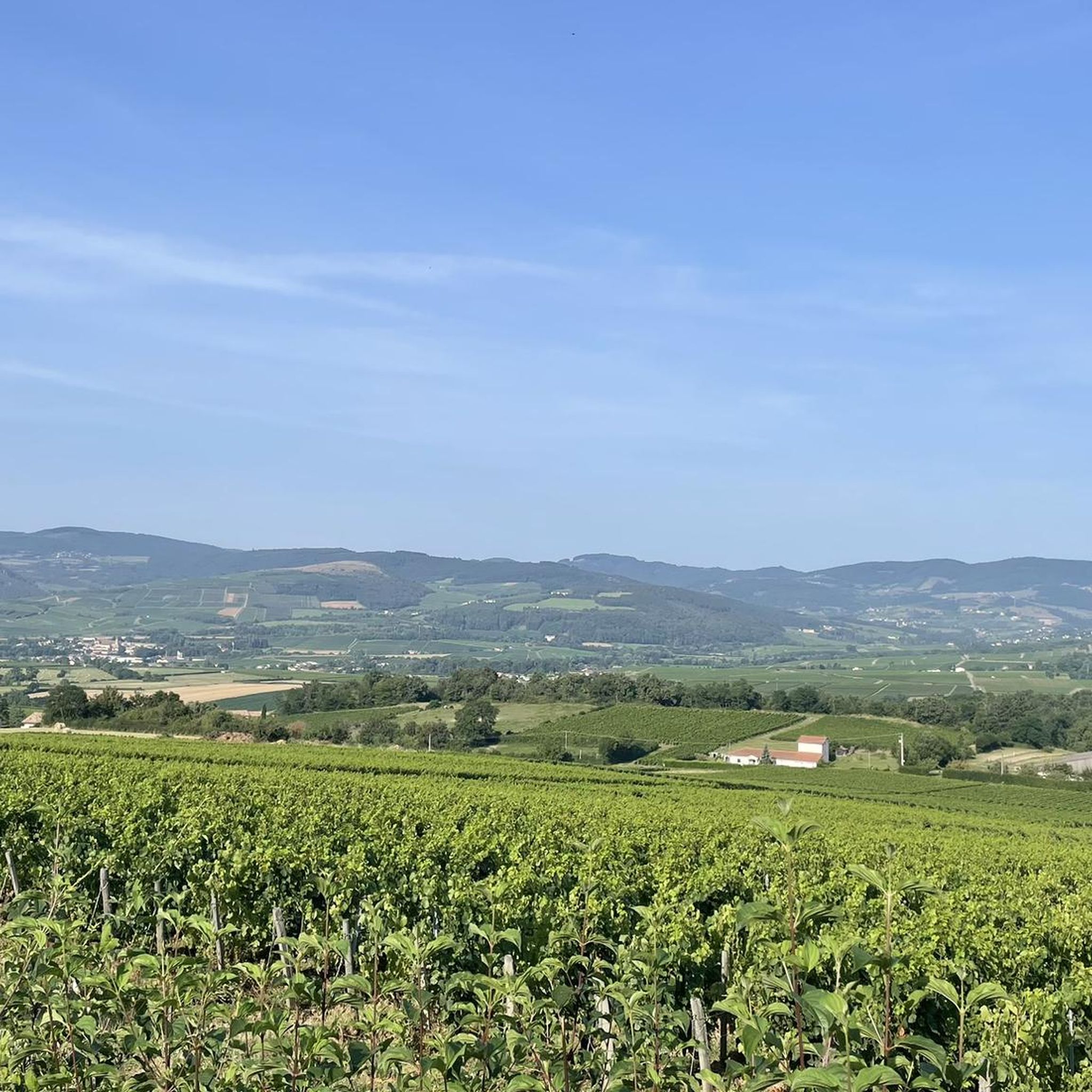
The Rock of Solutré is a world-famous, 493-meter-high limestone rock in the south of the Burgundy region. It is located amidst the picturesque vineyards of the municipality of Solutré-Pouilly. The region is officially designated as a Grand Site de France. The hike to the summit is easy to moderate and very doable for families. It takes about 1 hour for the entire loop (approx. 4 kilometers round trip). The elevation gain is around 100 to 140 meters from the official parking lot on well-maintained paths with information panels, although there are many steps.
1
0
The Romanesque church originally dates from the 11th to 12th centuries. It is a classic example of the early Romanesque art of the Haut-Mâconnais region. The nave, the choir, and the distinctive square bell tower are entirely preserved in this style. Over the centuries (in the Gothic period as well as in the 19th century) there were minor architectural changes. Monument protection: The building has been classified as an official French cultural monument (Monument historique) since 1979.
1
0
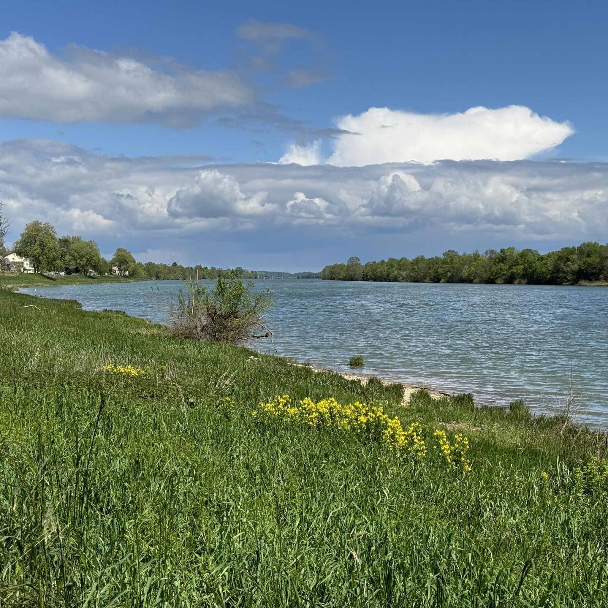
An idyllic, paved cycle path directly on the riverbank. It is a section of the well-known French long-distance cycle route „La Voie Bleue - Moselle-Saône Radweg" (Route V50) along the Saône. The entire long-distance cycle route covers around 700 kilometers from the Luxembourg border town of Apach (near the tripoint) to Lyon. The Saône section follows the natural meanders of the Saône, passing meadows, historic villages, and well-known wine-growing regions such as Mâcon. The route is mostly flat on former towpaths.
0
0
An idyllic, asphalted cycle path right on the riverbank. This is a section of the well-known French long-distance cycle route "La Voie Bleue - Moselle-Saône Radweg" (Route V50) along the Saône. The entire long-distance cycle route runs for around 700 kilometers from the French border town of Apach (near the tripoint) to Lyon. The Saône section follows the natural meanders of the Saône, passing meadows, historic villages, and well-known wine-growing regions such as Mâcon. The route runs mostly flat on former towpaths.
0
0
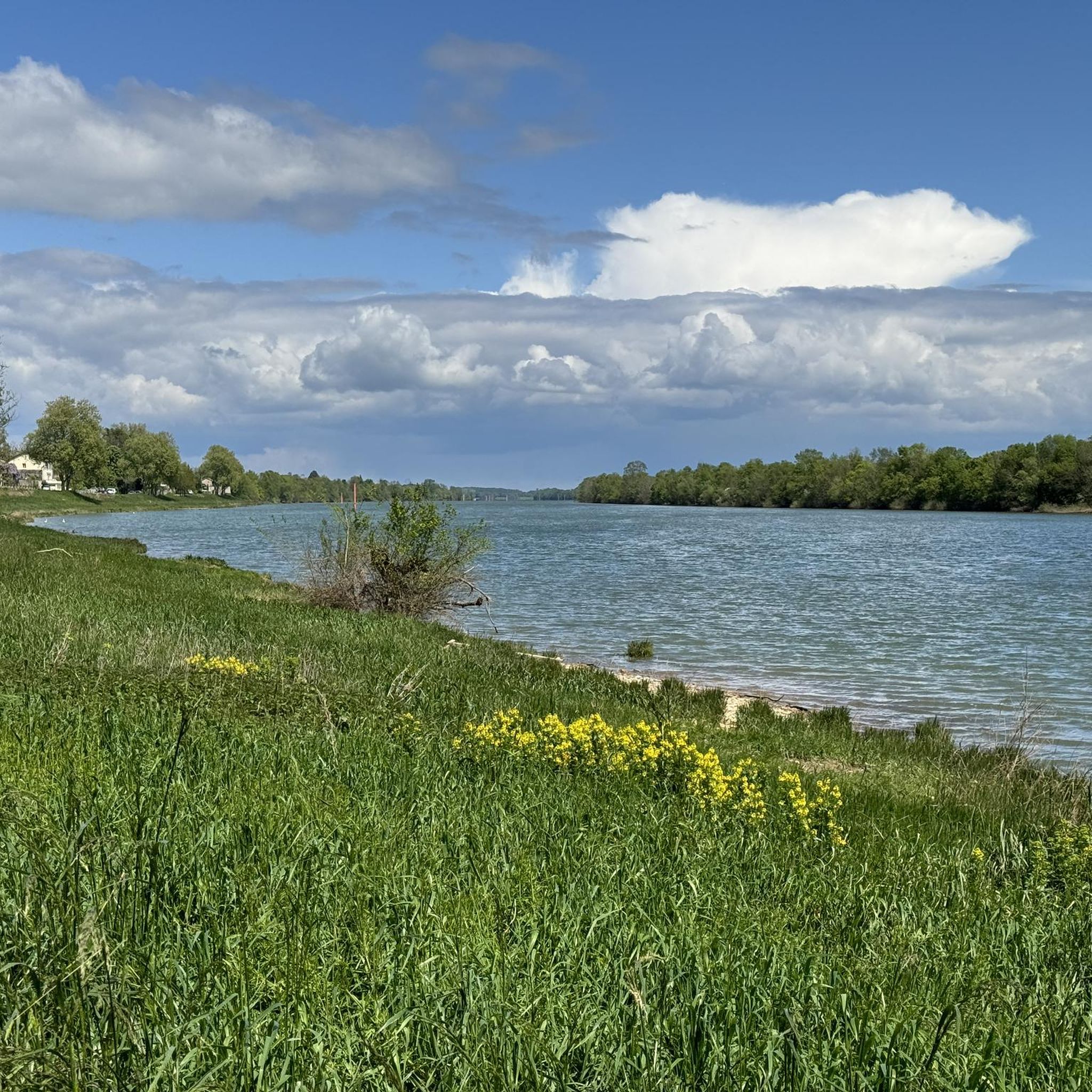
The Plan d'Eau de Fleurville (also known as Gravière de Fleurville) is a beautiful recreational and natural lake in the Saône-et-Loire department. The body of water is located directly on the border of the municipalities of Saint-Albain and Fleurville on the Saône. It is a former gravel pit that has been renatured and is today an important refuge for biodiversity as well as a popular excursion destination. The lake is equipped with picnic tables, fishing piers, and observation points. It is an excellent place for hiking, cycling (near the Voie Bleue cycle path), and birdwatching (e.g. for storks and migratory birds).
0
0

Romanesque church from the 12th century
0
0
Frequently Asked Questions
What kind of terrain can I expect when road cycling around Sancé?
The Sancé area offers a diverse landscape for road cyclists. You'll encounter a mix of rolling hills, picturesque river valleys, and open rural roads. The region also features agricultural lands and occasional forested sections, providing a varied and engaging cycling experience.
Are there road cycling routes suitable for beginners in Sancé?
Yes, Sancé has several beginner-friendly road cycling routes. For an easier ride, consider the Mâcon – Saint-Laurent Bridge loop from Sancé, which is 37.1 km long with a modest 147 meters of elevation gain. Another accessible option is the Roadbike loop from Hurigny, a 22.8 km route with 216 meters of ascent.
Where can I find challenging road cycling routes with significant climbs near Sancé?
For cyclists seeking a challenge, the Sancé region offers routes with substantial elevation gains. The Croix de Montmain Pass – Pistole Pass loop from Hurigny is a notable option, covering 54.5 km with over 850 meters of climbing as it traverses two significant passes.
What are the typical lengths and durations of road cycling routes in Sancé?
Road cycling routes around Sancé vary in length and duration. You can find shorter rides like the Roadbike loop from Hurigny at 22.8 km, taking around 1 hour 5 minutes. Longer routes, such as the Croix de Montmain Pass – Pistole Pass loop from Hurigny, extend to 54.5 km and can take over 2 hours 45 minutes to complete.
Are there any circular road cycling routes in the Sancé area?
Yes, many road cycling routes in Sancé are designed as loops, allowing you to start and finish at the same point. Examples include the popular Bike park – Azé Caves loop from Hurigny and the Fleurville Lake – Between Mãcon and Fleurville loop from Sancé.
What interesting landmarks or natural sights can I see along road cycling routes near Sancé?
The Sancé area is rich in natural and historical sights. Along your rides, you might encounter impressive natural monuments like the Roche de Solutré or the Vergisson Rock. There are also scenic viewpoints such as the View of Mâcon and the Saône from the François Mitterand bridge, and historical sites like Lamartine House.
What do other road cyclists say about the routes in Sancé?
The road cycling routes in Sancé are highly regarded by the komoot community, holding an average rating of 4.4 stars from over 100 reviews. Cyclists often praise the varied terrain, from rolling hills to river valleys, and the well-maintained rural roads that make for an enjoyable experience.
How many road cycling routes are available in the Sancé region?
There are over 500 road cycling routes available in the Sancé region on komoot, catering to various skill levels. This includes approximately 70 easy routes, over 300 moderate routes, and more than 150 challenging options.
Are there any routes that pass by lakes or water features in Sancé?
Yes, some routes in Sancé incorporate water features. The Fleurville Lake – Between Mãcon and Fleurville loop from Sancé is a great example, offering views of Fleurville Lake and traversing areas between Mâcon and Fleurville. You might also pass by the Cormoranche Lake Leisure Center on some routes.
What is the best time of year for road biking in Sancé?
The best time for road biking in Sancé is generally from spring through autumn. During these seasons, the weather is typically mild and pleasant, making for ideal cycling conditions. Spring brings blooming landscapes, while autumn offers beautiful foliage. Summer is also popular, but be prepared for warmer temperatures.
Are there any road cycling routes that are less crowded in Sancé?
While popular routes can see more traffic, many of Sancé's road cycling options traverse quieter rural roads and agricultural areas. To find less crowded routes, look for those that venture away from major towns or popular tourist attractions, often found among the numerous moderate and difficult options available.
Most popular attractions around Sancé

Get inspired with the komoot mobile app


Explore more
Browse the best Road cycling routes in other regions.
