The best running trails around Boulay-Les-Ifs
4.6
(21)
1,475
runners
112
runs
Jogging around Boulay-Les-Ifs offers a variety of routes through a landscape characterized by dense forests and rolling hills. The region features notable elevations such as the Mont des Avaloirs, providing scenic viewpoints. Trails often traverse wooded areas and open countryside, with moderate elevation changes. This terrain provides diverse running experiences for different fitness levels.
Best jogging routes around Boulay-Les-Ifs
- The most popular jogging route is Forêt de Multonne loop from Champfrémont, a 5.0 miles (8.0 km) trail that takes…
Last updated: July 8, 2026
4.0
(1)
9
runners
7.51km
00:47
80m
80m
Moderate run. Good fitness required. Mostly paved surfaces. Suitable for all skill levels.
8
runners
11.4km
01:20
220m
220m
Moderate run. Good fitness required. Mostly paved surfaces. Suitable for all skill levels.

Sign up for free
5
runners
8.02km
01:01
190m
190m
Moderate run. Good fitness required. Mostly paved surfaces. Suitable for all skill levels.
7
runners
18.9km
02:19
360m
350m
Hard run. Very good fitness required. Mostly paved surfaces. Suitable for all skill levels.
4
runners
Moderate run. Good fitness required. Mostly paved surfaces. Suitable for all skill levels.
Get access to more routes and recommendations from other explorers.
Sign up for free
Already have an account?
Our route recommendations are based on thousands of hikes, rides, and runs completed by other people on komoot.
Start today with a free account
Your next adventure awaits.
Login or Signup

Tips from the Community

Riding up there by bike was quite strenuous, but the view from the top was worth the effort. It was well worth it.
0
0

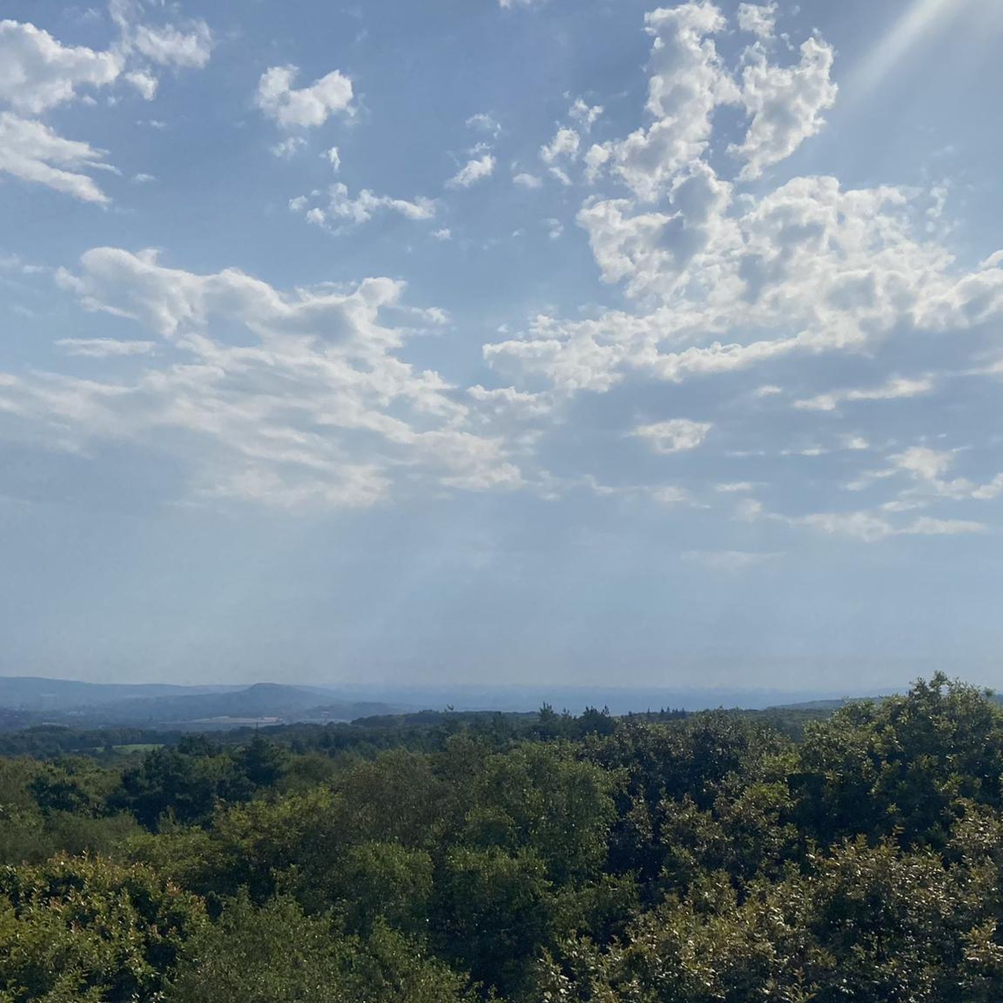
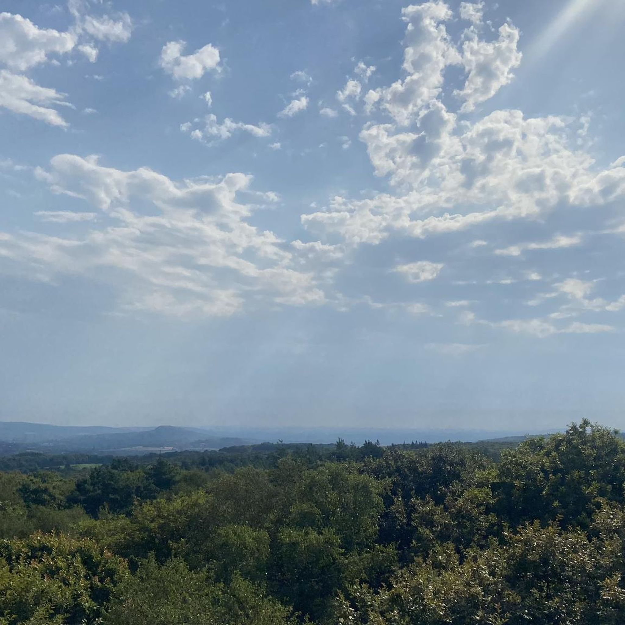
Beautiful 360 degree view
1
0

Located in Mayenne, Mont des Avaloirs is the highest point of the Armorican massif. It is part of the Normandy-Maine Regional Natural Park and enjoys the status of a Global Geopark. The belvedere, built in 1994 and covered with a magnificent colorful fresco, painted in 2019 by the Franco-British artist Seb Toussaint. It offers a 360° view of all the surrounding forests and peaks.
0
0

From its height of 416 meters, Mont des Avaloirs is the highest point of the Armorican Massif. At the top there is a belvedere which offers a 360 degree panorama.
2
0

Highest point of the Armorican massif
1
0

The highest point in western France, 417 m! Beautiful panoramic view at the top of the Belvédère on the grove.
0
0

Highest point in the West. 417m. 24 hour access.
0
0
Frequently Asked Questions
How many running routes are available around Boulay-Les-Ifs?
There are over 100 running routes available around Boulay-Les-Ifs, offering a wide range of options for different fitness levels and preferences.
Are there any easy running paths suitable for beginners in Boulay-Les-Ifs?
Yes, Boulay-Les-Ifs offers 6 easy running routes perfect for beginners or those looking for a less strenuous jog. These paths typically feature gentler terrain and shorter distances.
Can I find circular jogging routes in the Boulay-Les-Ifs area?
Absolutely. Many of the running trails around Boulay-Les-Ifs are designed as loops, allowing you to start and finish at the same point. For example, the Running loop from Saint-Pierre-des-Nids is a moderate 9.6 km circular route.
What kind of scenery can I expect on the running trails near Boulay-Les-Ifs?
The running trails around Boulay-Les-Ifs are known for their diverse and scenic landscapes. You'll often find yourself jogging through dense forests, across rolling hills, and past open countryside. Many routes offer panoramic viewpoints, such as those found along the Avaloirs Viewpoint – Mont des Avaloirs viewpoint loop from Réserve naturelle du mont des Avaloirs.
Are there any notable landmarks or attractions along the running routes?
Yes, several routes pass by interesting landmarks. The region is home to the Mont des Avaloirs viewpoint, which is the highest point in the French department of Mayenne, offering expansive views. You might also encounter natural monuments like the Rochers du Sphinx.
What is the average length and duration of running trails in Boulay-Les-Ifs?
The running trails vary significantly in length and duration. For instance, the Forêt de Multonne loop from Champfrémont is about 8 km and takes around 1 hour, while the Running loop from Le Haut-Bois stretches over 11 km, typically requiring about 1 hour 15 minutes to complete.
Is Boulay-Les-Ifs suitable for dog-friendly running?
Many of the trails in the Boulay-Les-Ifs region are suitable for running with dogs, especially those through the extensive woodlands. It's always recommended to keep your dog on a leash, especially in nature reserves or near livestock, and to check local regulations for specific areas.
Are there running routes with good parking access in Boulay-Les-Ifs?
Yes, many popular running routes in Boulay-Les-Ifs, particularly those starting from villages like Champfrémont or near key attractions, offer convenient parking options. It's advisable to check the route details on komoot for specific parking information at the trailhead.
What do other runners say about the trails in Boulay-Les-Ifs?
The running routes in Boulay-Les-Ifs are highly rated by the komoot community, with an average score of 4.5 stars from over 20 reviews. Runners often praise the quiet woodlands, varied terrain, and the opportunity to experience the natural beauty of the region.
Are there any family-friendly jogging routes around Boulay-Les-Ifs?
For families, the easier and shorter routes are ideal. Look for paths with minimal elevation gain and well-maintained surfaces. While specific 'family-friendly' designations aren't always present, the 6 easy routes available are generally suitable for a leisurely jog with children.
What is the best time of year to go jogging in Boulay-Les-Ifs?
The region's dense forests and rolling hills make it enjoyable for jogging throughout much of the year. Spring and autumn offer pleasant temperatures and beautiful foliage. Summer can be great, especially in shaded forest areas, while winter running is possible, though some paths might be muddy or require appropriate gear.
Most popular routes around Boulay-Les-Ifs
Most popular attractions around Boulay-Les-Ifs

Get inspired with the komoot mobile app


Explore more
Browse the best Running Trails & Routes in other regions.
