The best walks and hikes around Boulay-Les-Ifs
4.6
(668)
3,765
hikers
106
hikes
Hiking around Boulay-Les-Ifs offers access to the diverse landscapes of the Parc Naturel Régional et Géoparc Normandie-Maine. The region features rolling hills, dense woodlands, and notable geological formations like the Corniche de Pail. Trails often include varied terrain, from forest paths to open viewpoints, providing a range of experiences for hikers.
Best hiking trails around Boulay-Les-Ifs
- The most popular hiking route is Mont des Avaloirs and the house of Maquis Courtemiche — loop from Champfrémont in the regional natural park…
Last updated: July 2, 2026
4.7
(6)
46
hikers
Moderate hike. Good fitness required. Easily-accessible paths. Suitable for all skill levels.
4.7
(6)
51
hikers
Moderate hike. Good fitness required. Easily-accessible paths. Suitable for all skill levels.

Sign up for free
5.0
(6)
20
hikers
6.98km
01:59
160m
160m
Easy hike. Great for any fitness level. Easily-accessible paths. Suitable for all skill levels.
4.6
(7)
23
hikers
Easy hike. Great for any fitness level. Easily-accessible paths. Suitable for all skill levels.
5.0
(1)
7
hikers
Moderate hike. Good fitness required. Easily-accessible paths. Suitable for all skill levels.
Get access to more routes and recommendations from other explorers.
Sign up for free
Already have an account?
Our route recommendations are based on thousands of hikes, rides, and runs completed by other people on komoot.
Start today with a free account
Your next adventure awaits.
Login or Signup


Tips from the Community

Riding up there by bike was quite strenuous, but the view from the top was worth the effort. It was well worth it.
0
0

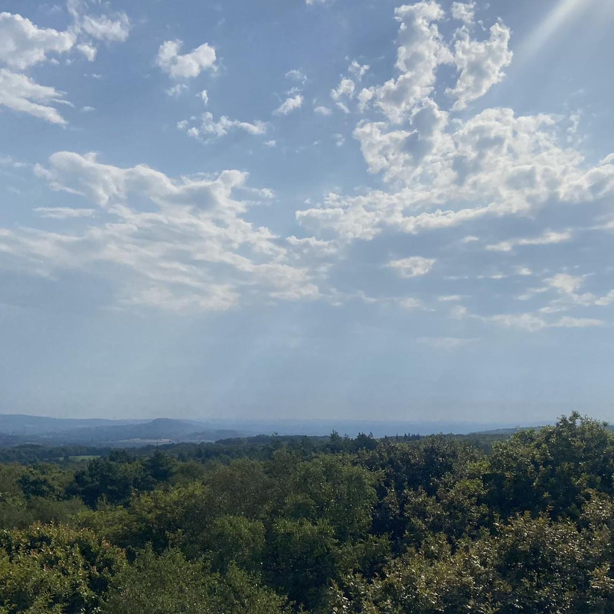
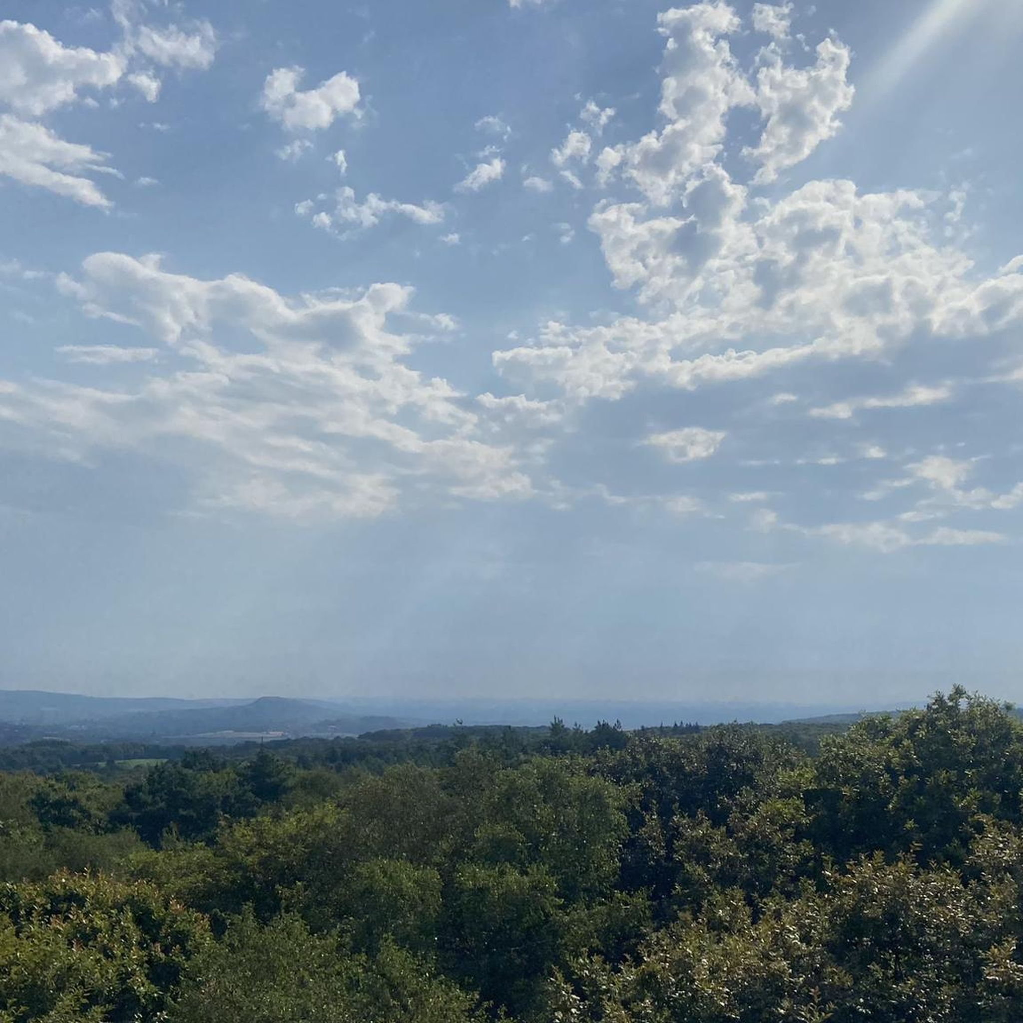
Beautiful 360 degree view
1
0

Located in Mayenne, Mont des Avaloirs is the highest point of the Armorican massif. It is part of the Normandy-Maine Regional Natural Park and enjoys the status of a Global Geopark. The belvedere, built in 1994 and covered with a magnificent colorful fresco, painted in 2019 by the Franco-British artist Seb Toussaint. It offers a 360° view of all the surrounding forests and peaks.
0
0

From its height of 416 meters, Mont des Avaloirs is the highest point of the Armorican Massif. At the top there is a belvedere which offers a 360 degree panorama.
2
0

Highest point of the Armorican massif
1
0

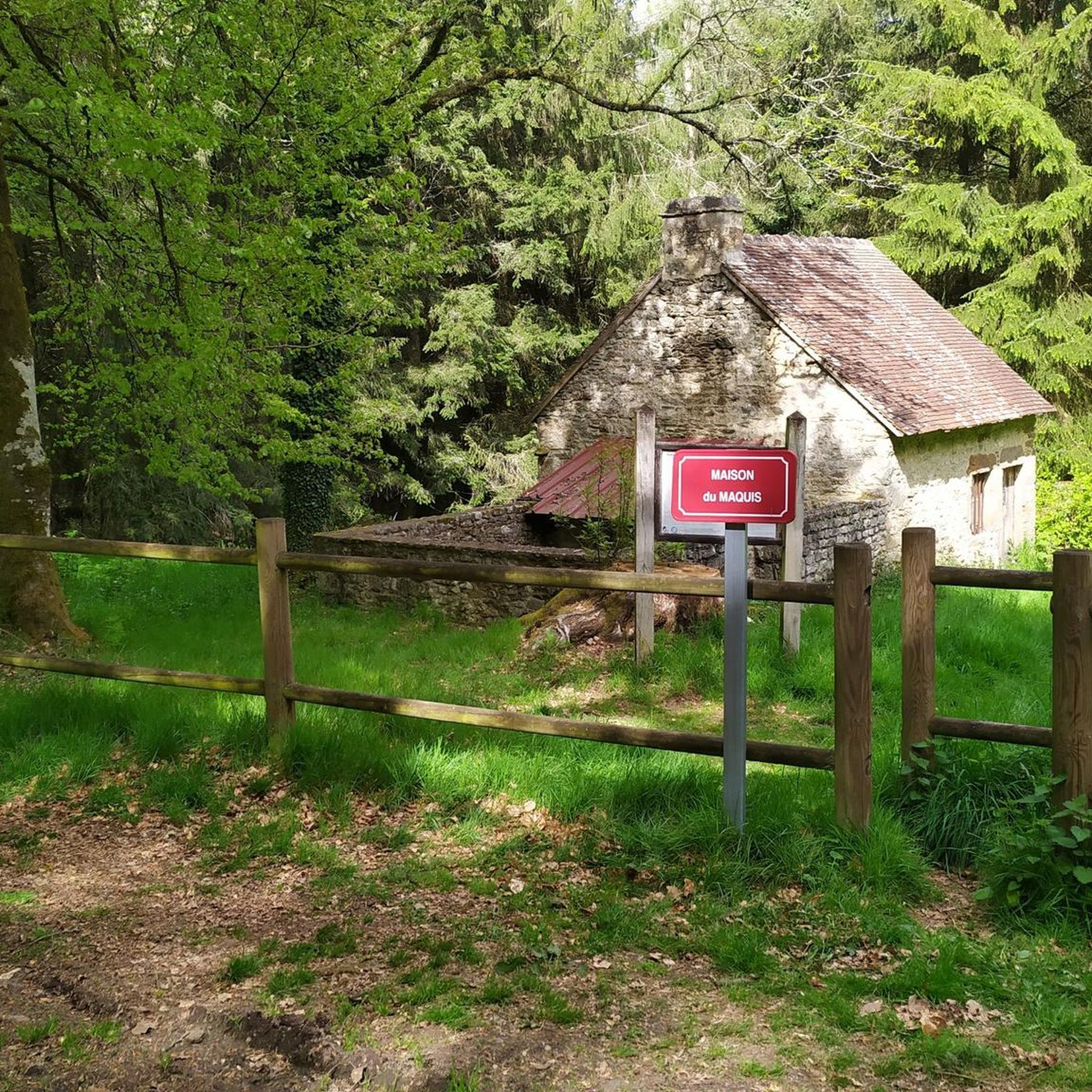
The monument in tribute to the young resistance fighters of the Maquis de Courtemiche shot in 1944.
2
0
Ideal starting point for beautiful walks in the Multonne forest or for a picnic in a rural setting. Tables available, natural spring nearby.
2
0
An isolated house in the forest of Multonne where young resistance fighters gathered during the war of 39-45. They formed the Maquis de Courtemiche.
3
0
Frequently Asked Questions
How many hiking trails are available around Boulay-Les-Ifs?
There are nearly 100 hiking trails around Boulay-Les-Ifs, offering a wide range of options for different skill levels and preferences. The komoot community has explored these routes over 3000 times.
What kind of terrain can I expect on hikes in Boulay-Les-Ifs?
Hiking around Boulay-Les-Ifs features diverse landscapes within the Parc Naturel Régional et Géoparc Normandie-Maine. You'll encounter rolling hills, dense woodlands, and notable geological formations like the Corniche de Pail. Trails often include varied terrain, from forest paths to open viewpoints.
Are there easy hiking options suitable for beginners or families?
Yes, Boulay-Les-Ifs offers plenty of easy hiking options. There are 41 easy routes, perfect for beginners or families looking for a relaxed outing. An excellent choice is the La Corniche de Pail — loop in the Parc Naturel Régional et Géoparc Normandie-Maine, an easy 2.6-mile (4.1 km) path with gentle terrain.
Are there any circular walks in the Boulay-Les-Ifs area?
Many of the trails around Boulay-Les-Ifs are designed as circular routes, allowing you to start and end at the same point. Examples include the Mont des Avaloirs and the house of Maquis Courtemiche — loop from Champfrémont and the Avaloirs Viewpoint – Wolf's Stone loop from Lalacelle.
What are some interesting landmarks or viewpoints to see along the trails?
The region is rich in natural landmarks and viewpoints. You can visit the Mont des Avaloirs viewpoint, which offers expansive views, or explore the geological formation of the Corniche of Pail. The Alpes mancelle viewpoint st léonard des bois is another notable spot.
What do other hikers enjoy most about hiking in Boulay-Les-Ifs?
The area is highly rated by the komoot community, with an average score of 4.7 stars from over 500 reviews. Hikers often praise the varied terrain, the tranquility of the dense woodlands, and the scenic viewpoints within the regional natural park.
Are the hiking trails in Boulay-Les-Ifs dog-friendly?
Generally, trails within the Parc Naturel Régional et Géoparc Normandie-Maine are dog-friendly, especially if your dog is kept on a leash. It's always a good idea to check specific route details for any local restrictions or sensitive wildlife areas. Ensure you carry water for your dog, especially on longer routes.
What is the best time of year to go hiking in Boulay-Les-Ifs?
The best time to hike in Boulay-Les-Ifs is typically from spring to autumn (April to October) when the weather is mild and the natural landscapes are at their most vibrant. Summer offers longer daylight hours, while autumn provides beautiful foliage. Some trails may be accessible in winter, but conditions can be challenging.
Are there any longer or more challenging hikes available?
Yes, for those seeking a greater challenge, there are 48 moderate and 10 difficult routes. A popular moderate option is the Mont des Avaloirs and the house of Maquis Courtemiche — loop from Champfrémont, a 9.0-mile (14.5 km) trail with steady climbs.
Where can I find parking for the trailheads?
Most popular trailheads in the Boulay-Les-Ifs area, especially those within the Parc Naturel Régional et Géoparc Normandie-Maine, offer designated parking areas. It's advisable to check the starting point of your chosen route on komoot for specific parking information or nearby village parking options.
Can I find places to eat or drink near the hiking trails?
While specific pubs or restaurants directly on every trail are rare, many villages and towns surrounding Boulay-Les-Ifs, such as Saint-Cénéri-le-Gérei or Saint-Léonard-des-Bois, offer local eateries and cafes where you can refuel after your hike. It's a good idea to plan your route to pass through or end near one of these settlements.
What kind of wildlife might I encounter while hiking?
As part of a regional natural park, the area around Boulay-Les-Ifs is home to diverse wildlife. You might spot various bird species, deer, wild boar, and smaller mammals. Respecting their habitat by staying on marked trails and keeping a quiet demeanor will increase your chances of an encounter.
Most popular routes around Boulay-Les-Ifs
Most popular attractions around Boulay-Les-Ifs

Get inspired with the komoot mobile app


Explore more
Browse the best Hikes in other regions.
