The best walks and hikes around Saint-Bonnet-De-Chirac
4.4
(88)
603
hikers
81
hikes
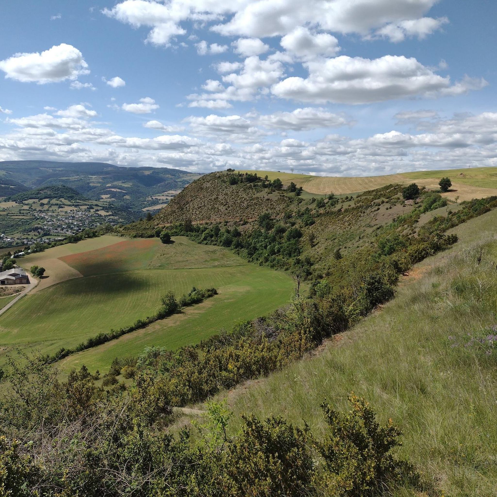
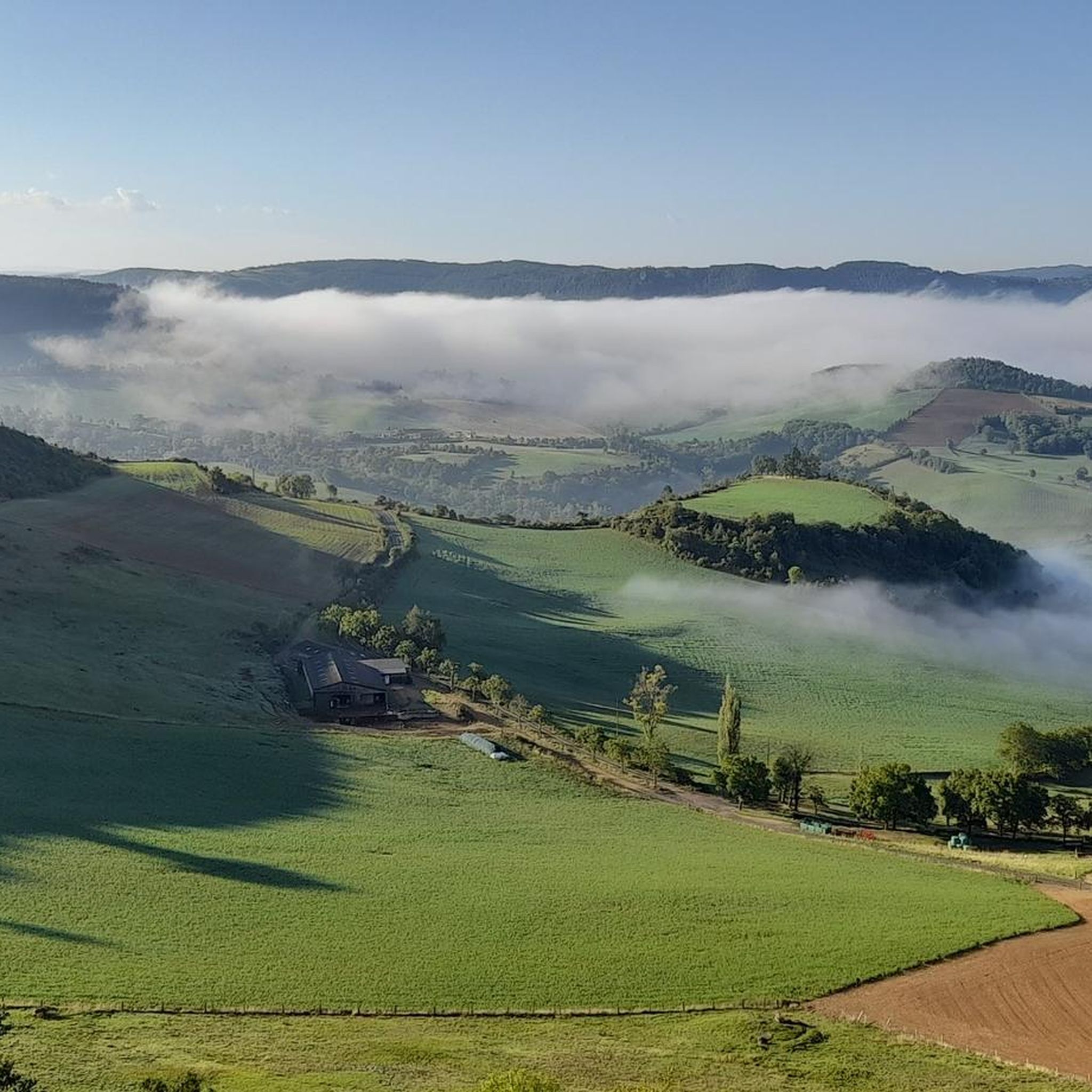
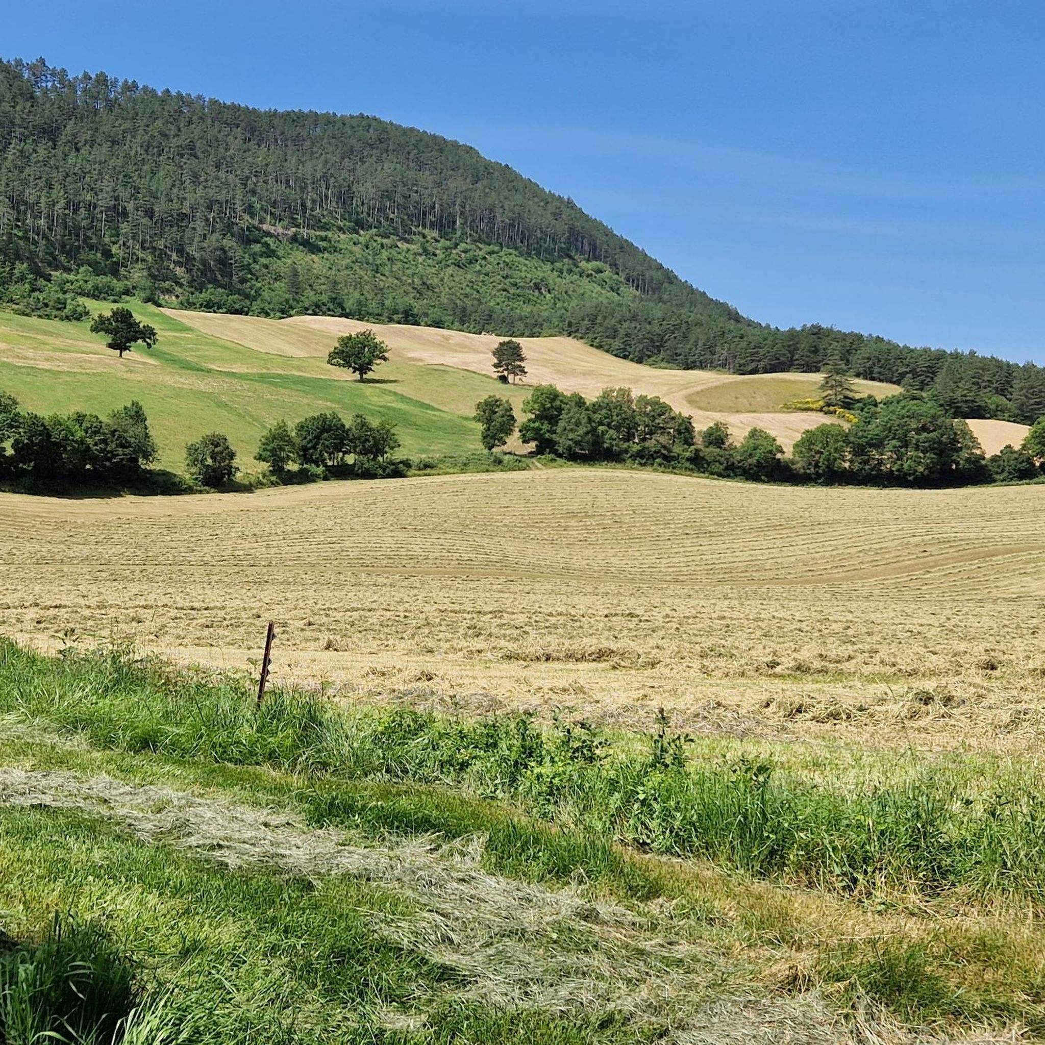
Hiking around Saint-Bonnet-De-Chirac offers routes through a landscape characterized by plateaus and rolling terrain, with moderate elevation changes. The region features a mix of open areas and wooded sections, providing varied scenery for outdoor activities. Notable natural features include limestone peaks known as "Trucs," such as the Truc de Saint-Bonnet-de-Chirac, and proximity to the Gorges du Tarn and Cévennes National Park. Trails often connect small villages and historical points of interest, allowing for exploration of the local heritage.
Best hiking…
Last updated: July 8, 2026
14
hikers
8.82km
02:38
270m
270m
Moderate hike. Good fitness required. Easily-accessible paths. Suitable for all skill levels.
4.5
(4)
13
hikers
9.16km
02:35
200m
200m
Moderate hike. Good fitness required. Easily-accessible paths. Suitable for all skill levels.

Sign up for free
3
hikers
8.98km
02:31
180m
180m
Moderate hike. Good fitness required. Easily-accessible paths. Suitable for all skill levels.
9
hikers
9.87km
03:11
400m
400m
Moderate hike. Good fitness required. Easily-accessible paths. Suitable for all skill levels.
3.7
(3)
5
hikers
7.58km
02:15
230m
220m
Moderate hike. Good fitness required. Easily-accessible paths. Suitable for all skill levels.
Get access to more routes and recommendations from other explorers.
Sign up for free
Already have an account?
Our route recommendations are based on thousands of hikes, rides, and runs completed by other people on komoot.
Start today with a free account
Your next adventure awaits.
Login or Signup


Tips from the Community

The Truc de Grèzes is a striking hill in the Lozère department, near Mende. It rises 1,042 m above sea level and offers impressive views of the Lot Valley, the Aubrac, and the Causses mountains. At its summit lie the ruins of a medieval castle, once strategically important. A short, well-maintained path leads up from the village of Grèzes; the climb takes about 30 minutes. At the top, visitors are greeted by a sweeping panorama, particularly impressive at sunrise or sunset.
0
0


Magnificent city gate very well preserved. Its counterpart, Porte de Chanelles, is opposite Marvejols, at the other end of Rue de la République.
1
0

Grézes, on the flanks of the Truc de Grèzes, has been occupied by humans since the Neolithic period. A Gallic oppidum was built on the summit of Truc, then later a castrum replaced it on the site of the current village and evolved in the Middle Ages with the expansion of the castle.
1
0
Although it is not the highest of the peaks (1,008m), the Truc de Grèzes, with its rather steep hillock shape, is quite identifiable. Its summit also offers magnificent panoramas.
2
0

Marvejols is a medieval city that illustrates Occitan culture. It was a fortified city which was reinforced during the Hundred Years War against the English.
1
0
Frequently Asked Questions
How many hiking trails are available in Saint-Bonnet-De-Chirac?
Saint-Bonnet-De-Chirac offers a diverse network of over 80 hiking trails. These routes vary in length and difficulty, providing options for different preferences and fitness levels.
Are there easy hiking trails suitable for beginners in Saint-Bonnet-De-Chirac?
Yes, Saint-Bonnet-De-Chirac features over 30 easy hiking routes. These trails are generally shorter and have minimal elevation changes, making them ideal for beginners or those seeking a relaxed stroll through the local landscape.
Are there family-friendly hiking options around Saint-Bonnet-De-Chirac?
Many of the easier trails in the region are suitable for families. They often pass through charming villages and offer gentle terrain. Consider routes that are shorter in distance and have less elevation gain for a comfortable family outing.
What is the typical length of hikes in Saint-Bonnet-De-Chirac?
Hikes in Saint-Bonnet-De-Chirac vary, but many popular routes range from 5 to 10 kilometers (3 to 6 miles). For example, the Château de Montferrand loop from Auxillac is about 9.2 km, and the Plateau de St Bonnet de Chirac loop from Saint-Bonnet-de-Chirac is around 8.8 km.
Are there circular walking routes in Saint-Bonnet-De-Chirac?
Yes, many of the trails around Saint-Bonnet-De-Chirac are designed as circular routes, allowing you to start and finish in the same location. Examples include the Grèzes loop from Grèzes and the Porte du Soubeyran – Porte du Soubeyran, Marvejols loop from Marvejols.
What kind of scenery can I expect on hikes in Saint-Bonnet-De-Chirac?
The region's hikes traverse a landscape of plateaus and rolling terrain, offering a mix of open areas and wooded sections. You'll often encounter rural countryside, small villages, and historical points of interest, providing varied and engaging views.
Are there any interesting landmarks or attractions to see along the trails?
While hiking, you might encounter various points of interest. Notable nearby attractions include the Roqueprins Rock, the historic settlement of Banassac, and the impressive Viaduct of the Gorges de l'Enfer.
What do other hikers enjoy most about the trails in Saint-Bonnet-De-Chirac?
The trails in Saint-Bonnet-De-Chirac are highly rated by the komoot community, with an average score of 4.4 stars from over 70 reviews. Hikers often praise the varied terrain, the peaceful atmosphere, and the opportunities to explore local heritage and charming villages.
Is there parking available at the trailheads in Saint-Bonnet-De-Chirac?
Many of the hiking routes around Saint-Bonnet-De-Chirac start from villages or accessible points where parking is typically available. It's advisable to check the specific route details on komoot for information on parking facilities at your chosen trailhead.
What is the best time of year to go hiking in Saint-Bonnet-De-Chirac?
Spring and autumn are generally considered the best times for hiking in Saint-Bonnet-De-Chirac. The weather is usually mild, and the natural scenery is particularly beautiful with blooming flowers or vibrant fall foliage. Summer can also be pleasant, especially in the mornings or late afternoons.
Are there any longer, more challenging hikes for experienced hikers?
While the majority of routes are easy to moderate, there are a few more challenging options available for experienced hikers. These trails typically feature greater elevation gains and longer distances, offering a more strenuous experience. There are 3 difficult routes in the area for those seeking a challenge.
Can I find routes that pass by a pub or restaurant for refreshments?
Many trails in Saint-Bonnet-De-Chirac connect small villages. While not every route will have a pub directly on the path, planning your hike to pass through a village center often provides opportunities for refreshments at local establishments.
Most popular routes around Saint-Bonnet-De-Chirac
Most popular attractions around Saint-Bonnet-De-Chirac

Get inspired with the komoot mobile app


Explore more
Browse the best Hikes in other regions.
