The best road cycling routes around Montauroux
4.4
(581)
12,907
riders
18
rides
Road cycling around Montauroux offers diverse landscapes within the Pays de Fayence, characterized by hilly and mountainous terrain. The region features the Massif de l'Estérel and Massif du Tanneron, providing opportunities for challenging climbs and scenic routes. Cyclists encounter well-paved roads, significant elevation gains, and views of natural features like Lake Saint-Cassien and the Siagne River. This area is known for its varied topography, suitable for different road cycling experiences.
Best road cycling routes around Montauroux
- The most popular road cycling route is Tanneron Massif Circuit, a 34.4 miles (55.4 km) trail that takes 2 hours 41 minutes to complete. This moderate route offers panoramic views of the Côte d'Azur and Lake Saint-Cassien.
- Another top favourite among local road cyclists is View of the Mediterranean Sea – steep switchback loop from Narbonne, a difficult 43.3 miles (69.7 km) path. This route features steep switchbacks and significant elevation gain towards the Mediterranean Sea.
- Local road cyclists also love the Tanneron Pass – View of Mons loop from Narbonne, a 38.1 miles (61.4 km) trail leading through the Massif du Tanneron, often completed in about 3 hours 20 minutes.
- Road cycling around Montauroux is defined by the hilly Massif du Tanneron, the mountainous Massif de l'Estérel, and views of Lake Saint-Cassien. The network offers options for moderate and difficult ability levels.
- The routes in Montauroux are highly rated by the komoot community with an average score of 4.3 stars from over 40 reviews. More than 1,400 road cyclists have used komoot to explore Montauroux's varied terrain.
Last updated: July 7, 2026
4.3
(12)
556
riders
55.4km
02:42
830m
830m
Cycle the moderate Tanneron Massif Circuit, a 34.4-mile route through mimosa groves and panoramic views of the Côte d'Azur and Lake Saint-Ca
3.9
(8)
471
riders
69.8km
03:18
920m
920m
Hard road ride. Very good fitness required. Some segments of this route may be unpaved and difficult to ride.

Sign up for free
3.7
(3)
124
riders
61.4km
03:20
1,200m
1,200m
Hard road ride. Very good fitness required. Mostly well-paved surfaces and easy to ride.
3.9
(10)
110
riders
45.3km
02:06
560m
560m
Moderate road ride. Good fitness required. Mostly well-paved surfaces and easy to ride.
4.3
(4)
61
riders
53.8km
02:41
810m
810m
Moderate road ride. Good fitness required. Mostly well-paved surfaces and easy to ride.
Get access to more routes and recommendations from other explorers.
Sign up for free
Already have an account?
Our route recommendations are based on thousands of hikes, rides, and runs completed by other people on komoot.
Start today with a free account
Your next adventure awaits.
Login or Signup
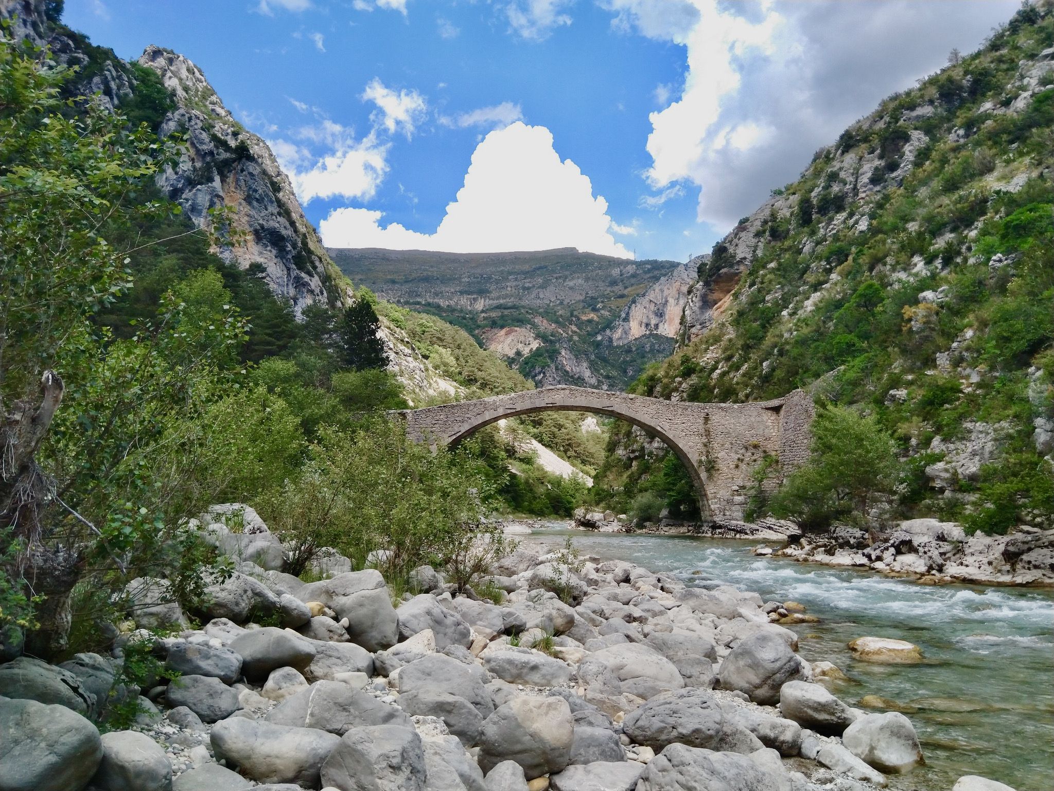
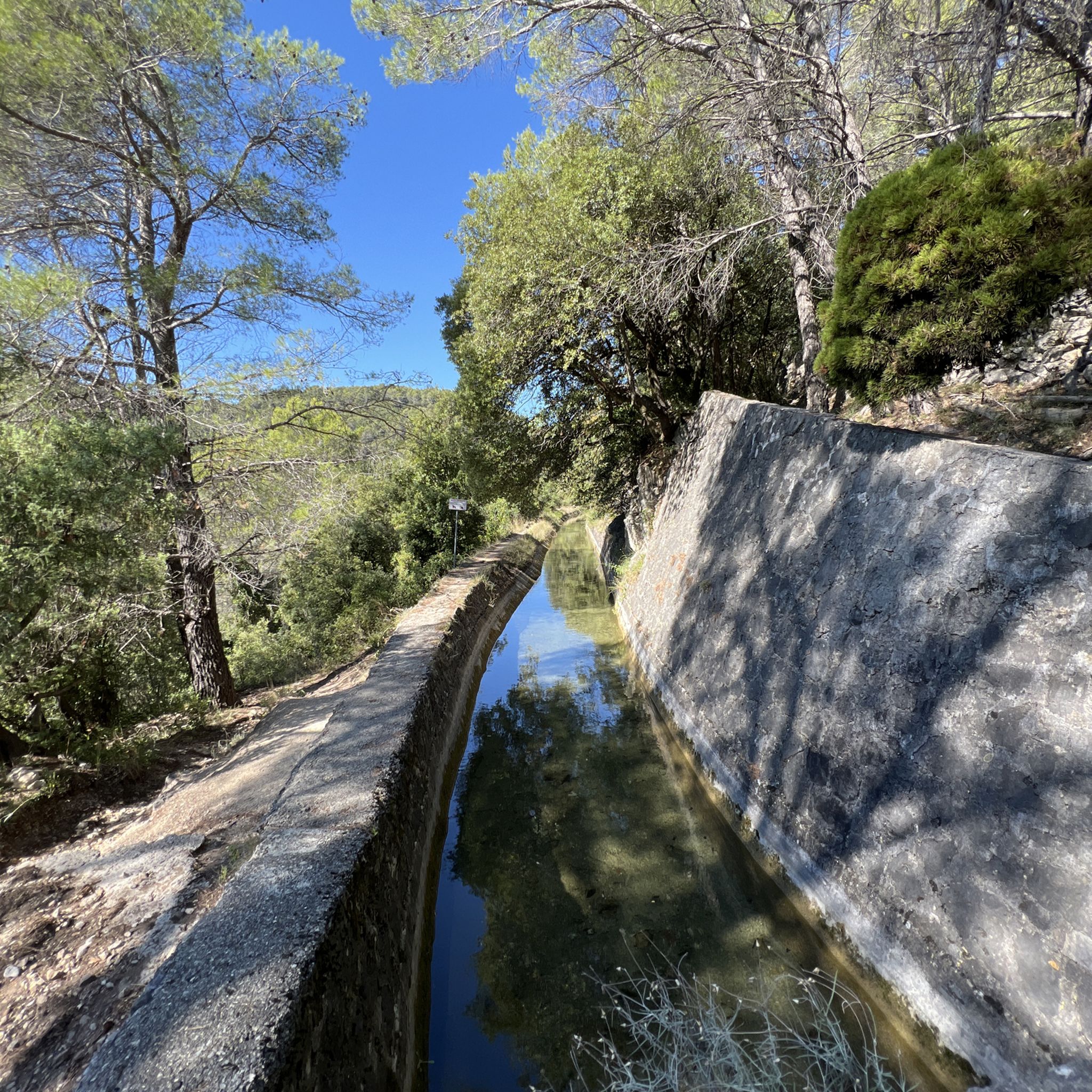
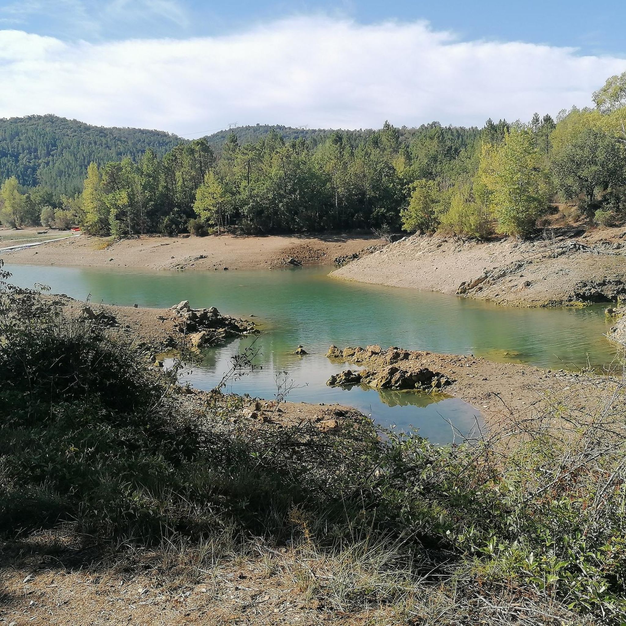

Other adventures around Montauroux

Tips from the Community

Main road can have a lot of truck traffic.
0
0

To run there every year in competition the landscape is very beautiful and it is very pleasant especially in good weather
0
0

This road is a great ride. The road winds gently along a wooded hillside with great vistas. It is well paved and free of traffic and has a gentle upward slope towards Seillans.
2
0

A really nice climb that changes the landscape of the seaside a little. From Fréjus towards Mandelieu-la-Napoule, the climb is quite rolling, no particular difficulties. I advise !
0
1

The Peygros oppidum, located three kilometers northeast of the community, documents pre-Roman settlement in the area. The place was first mentioned as Castrum Tannaroni in 1200. The name may come from the root word tan, which refers to the bark of chestnuts and oaks, or it may go back to a pre-European root, according to which tan means mountain. The village belonged to the territory of Grasse and became an independent municipality in 1825 when it separated from Callian.
2
0

Small restaurant with magnificent view and afternoon dancing on Sundays
0
0

Deserves its registration with the most beautiful villages of France
0
0
Frequently Asked Questions
What kind of terrain can I expect when road cycling around Montauroux?
The Montauroux region, part of the Pays de Fayence, offers diverse and varied terrain for road cycling. You'll encounter hilly and mountainous landscapes, particularly within the Massif de l'Estérel and Massif du Tanneron. While most surfaces are well-paved, some adventurous paths, like portions of the Véloroute littorale, might feature unpaved or difficult segments, which could be better suited for a touring or gravel bike. The area is known for significant elevation gains and panoramic views.
Are there challenging climbs for experienced road cyclists in Montauroux?
Yes, Montauroux offers several challenging road cycling routes with steep switchbacks and significant elevation gains. For instance, the View of the Mediterranean Sea – steep switchback loop from Narbonne is a difficult 69.7 km path with over 900 meters of elevation gain. Another demanding option is the Tanneron Pass – View of Mons loop from Narbonne, which features nearly 1200 meters of ascent over 61.4 km, leading through the Massif du Tanneron.
What scenic viewpoints or natural features can I see while cycling in Montauroux?
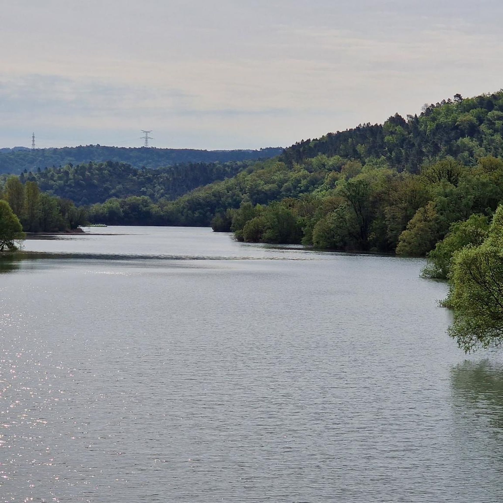
Road cycling routes around Montauroux offer stunning natural beauty. You can enjoy panoramic views of the Côte d'Azur and Lake Saint-Cassien, especially on routes like the Tanneron Massif Circuit. The region also features the mimosa groves of the Massif du Tanneron and the wooded mountains of the Massif de l'Estérel. Don't miss the opportunity to see the expansive Lake Saint-Cassien, a central natural jewel of the East of Var.
Are there any historical sites accessible by bike in the Montauroux area?
Yes, several historical sites can be explored while cycling. The village of Montauroux itself is a charming hilltop village with typical Provençal squares, historic fountains, and old washhouses. You might also encounter the poignant Ruins of the Malpasset Dam, a significant historical site. Additionally, the Siagne River and Gorges de la Haute-Siagne, classified as a Natura 2000 Park, contain historical remnants like old washhouses and mills, with the Tuves Bridge and Cave being a particularly scenic spot.
What is the best time of year for road cycling in Montauroux?
The region around Montauroux is generally pleasant for cycling for much of the year. Spring and autumn offer ideal conditions with milder temperatures and beautiful landscapes, especially when the mimosa groves in the Massif du Tanneron are in bloom. Summer can be hot, so early morning or late afternoon rides are recommended. Winters are generally mild, making cycling possible, though some higher elevation routes might be cooler.
Are there family-friendly road cycling options in Montauroux?
While many routes in Montauroux involve significant elevation, there are options for families or those seeking easier rides. The region offers a mix of moderate and difficult routes. For less strenuous rides, look for routes with lower elevation gains or consider exploring flatter sections around Lake Saint-Cassien. Always check the elevation profile and distance of a route to ensure it matches your family's fitness level.
What do other road cyclists enjoy about the routes in Montauroux?
The road cycling routes around Montauroux are highly rated by the komoot community, with an average score of 4.3 stars from over 40 reviews. Cyclists often praise the varied topography, the challenging climbs, and the stunning panoramic views of the Côte d'Azur, Lake Saint-Cassien, and the surrounding massifs. The mix of moderate and difficult routes also appeals to a wide range of abilities.
How many road cycling routes are available in the Montauroux area?
There are approximately 18 road cycling routes available around Montauroux, offering a good selection for various skill levels. This includes 9 moderate routes and 9 difficult routes, ensuring options for both casual riders and those seeking a significant challenge.
Are there circular road cycling routes available in Montauroux?
Yes, many of the road cycling routes in Montauroux are designed as loops, allowing you to start and finish in the same location. Examples include the Tanneron Massif Circuit, the View of the Mediterranean Sea – steep switchback loop from Narbonne, and the Rayol Viaduct – View of Bargemon 🤩 loop from Montauroux. These circular routes are convenient for exploration without needing return transport.
Can I combine cycling with other activities like wild swimming in Montauroux?
Absolutely! The region around Montauroux is perfect for combining cycling with other outdoor activities. Lake Saint-Cassien, a prominent feature in the area, offers opportunities for swimming, pedal boating, and canoeing, with intimate beaches for relaxation. You might find spots along the Siagne River as well, which is classified as a Natura 2000 Park, though always check local regulations for swimming.
What are the options for parking when starting a road cycling route in Montauroux?
Montauroux and the surrounding villages typically offer public parking areas where you can leave your vehicle before starting a ride. For specific routes, it's advisable to check the route details on komoot or local signage for designated parking spots near trailheads or village centers. Many routes, like the Roadbike loop from Château Tournon, often start from accessible points with parking nearby.
Is public transport an option for cyclists in Montauroux?
Public transport options for cyclists in Montauroux might be limited, especially for carrying bikes. While local bus services connect villages, their capacity for bicycles can vary. It's generally recommended to plan your routes starting and ending from your accommodation or a designated parking spot. For longer distances or specific connections, checking regional transport websites for bike-friendly services would be necessary.
Most popular routes around Montauroux
Most popular attractions around Montauroux

Get inspired with the komoot mobile app


Explore more
Browse the best Road cycling routes in other regions.
