The best running trails around Lardiers
4.6
(5)
625
runners
51
runs
Jogging around Lardiers offers an exploration of elevated terrain, characterized by mountain passes and summits. The region features routes that traverse significant ascents, providing a challenging environment for runners. These trails often lead through areas with substantial elevation changes, defining the physical landscape for outdoor activities. The varied topography includes both demanding climbs and expansive views from higher points.
Best jogging routes around Lardiers
- The most popular jogging route is Cretes – Montagne de Lure Pass loop from Ongles,…
Last updated: June 25, 2026
65
runners
29.3km
04:20
1,410m
1,410m
Hard run. Very good fitness required. Mostly paved surfaces. Suitable for all skill levels.
5.0
(1)
23
runners
12.4km
01:50
580m
580m
Hard run. Very good fitness required. Mostly paved surfaces. Suitable for all skill levels.

Sign up for free
23
runners
38.2km
05:52
1,990m
2,000m
Hard run. Very good fitness required. Mostly paved surfaces. Suitable for all skill levels.
19
runners
19.7km
02:51
930m
930m
Hard run. Very good fitness required. Mostly paved surfaces. Suitable for all skill levels.
13
runners
12.7km
01:54
620m
620m
Hard run. Very good fitness required. Mostly paved surfaces. Suitable for all skill levels.
Get access to more routes and recommendations from other explorers.
Sign up for free
Already have an account?
Our route recommendations are based on thousands of hikes, rides, and runs completed by other people on komoot.
Start today with a free account
Your next adventure awaits.
Login or Signup
Tips from the Community


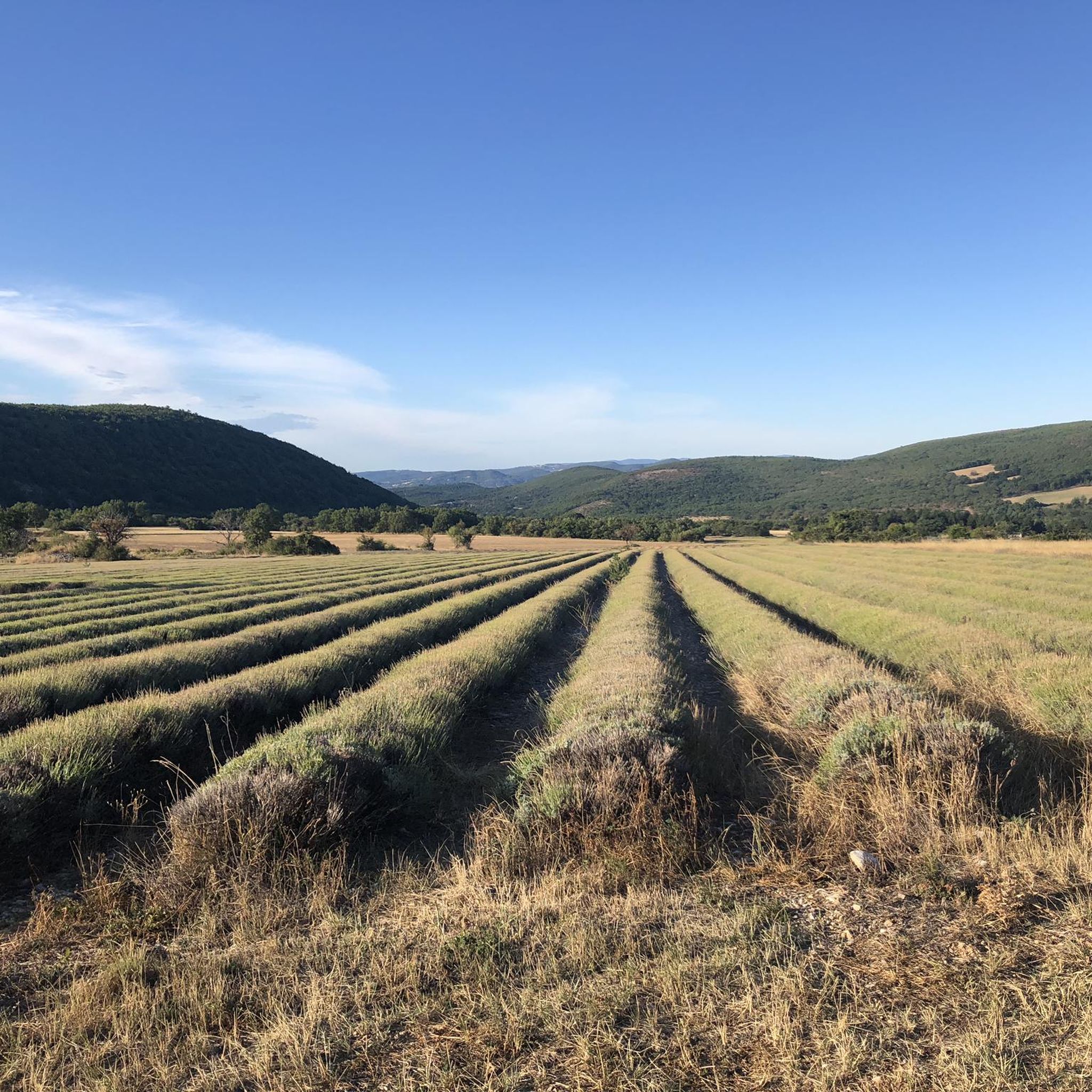
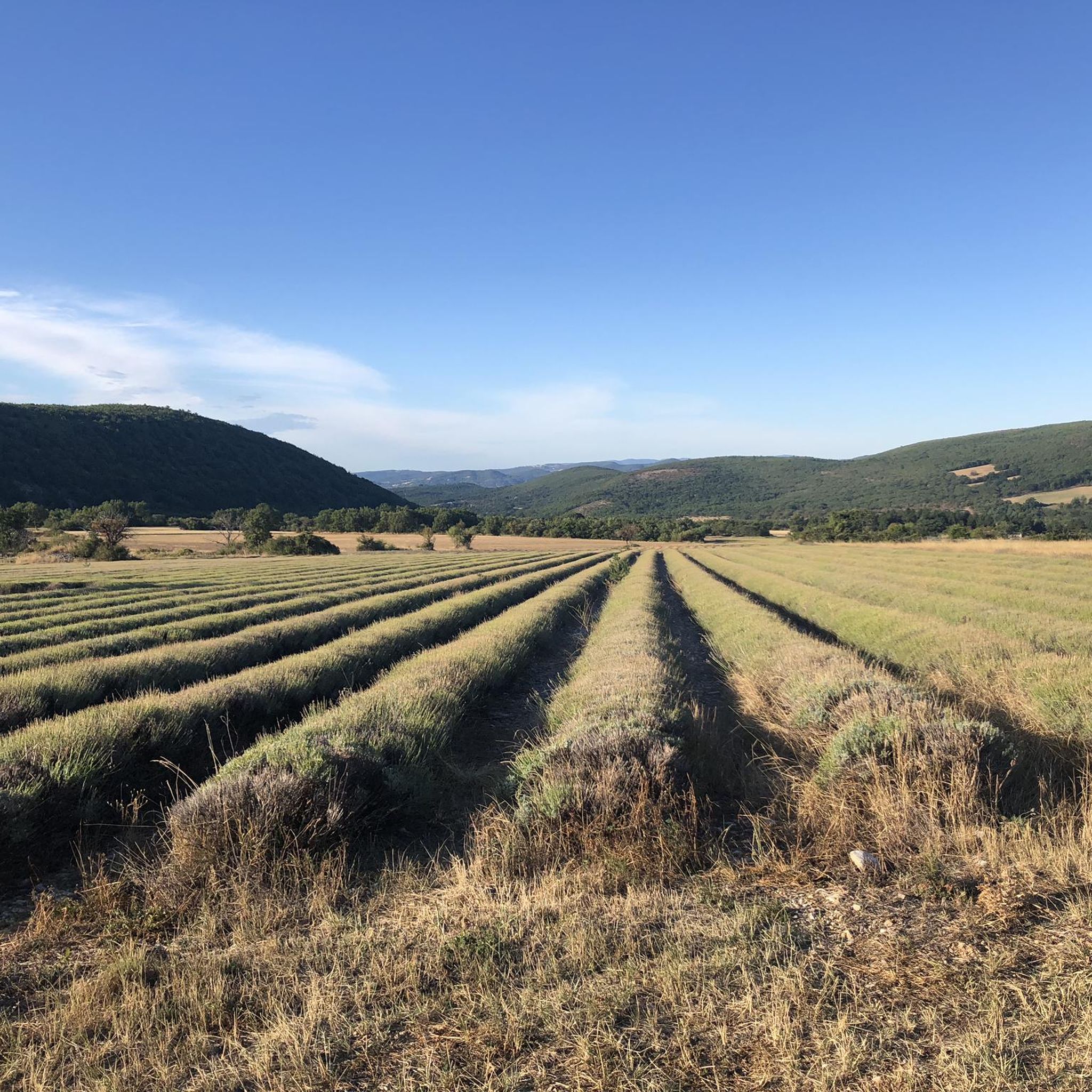
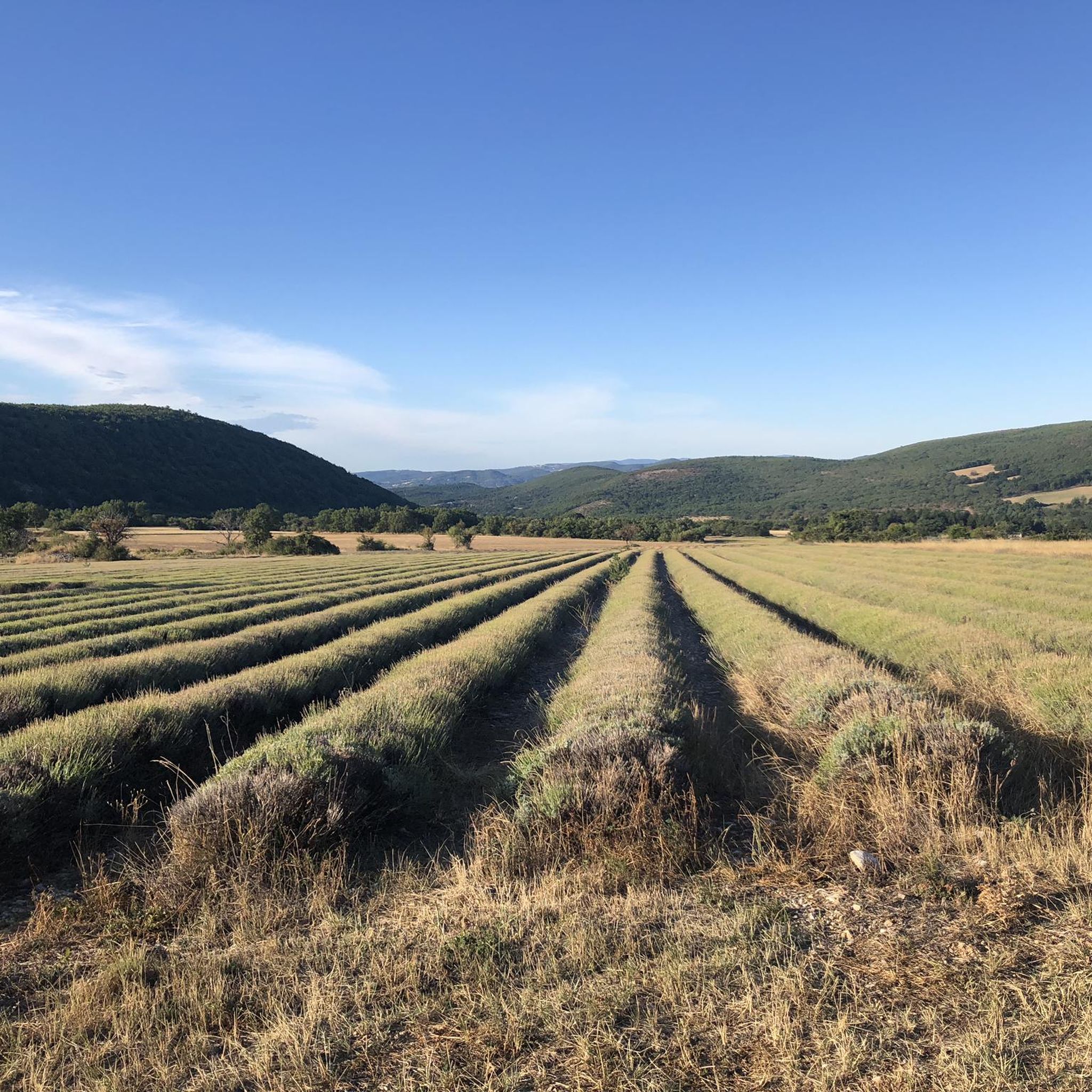
Beautiful objective from the Pas de la Graille, in summer watch out for herds and dogs.
0
0

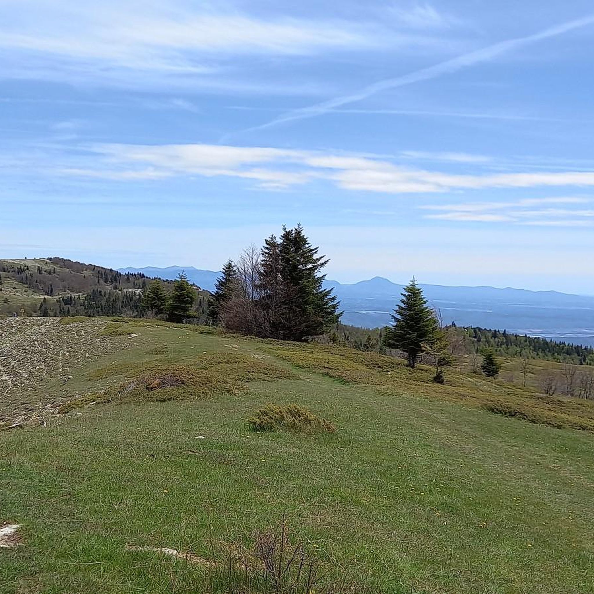
The Ventoux's little brother. With a length of 17.7 kilometres and an ascent of 1054 vertical metres and a gradient of 5.9% on average, which implies a difficulty level of 688. The summit of the climb is located at 1746 metres above sea level. At the top the views are fabulous both towards Ventoux itself and towards the Alps. A long, very pleasant and fun climb that is worth the effort with percentages that remain around 5/6/7% and some peaks of up to 9.3%. The last 2 kilometres are very easy.
2
0


The Montagne de Lure is a large mountain in the Vaucluse in the Alpes-de-Haute-Provence department of France. It belongs to the same geological formation as the Albion plateau and Mont Ventoux. This chain extends over 42 kilometers and culminates in the Lure signal at 1,825 m and presents a very contrasting relief.
2
1
The Graille pass is probably the most famous pass in the Alps without even knowing it. So that? Because it is the obligatory step to reach the mountain of Lure. It is one of the first steps of the southern Alps. It is often compared to Mount Ventoux for its easily climbed, bald summit. Also well known to shepherds, the Pas de la Graille has been a path of transhumance since prehistoric times. The D53 connects Saint-Etienne-les-Orgues with Valbelle.
0
0

Mandatory climb in this region! Fantastic and calm
2
1

View of the Baronnies massif.
4
1
Frequently Asked Questions
How many running routes are available around Lardiers?
There are over 50 dedicated running routes around Lardiers. These trails cater to various skill levels, with options ranging from easy paths to more challenging, difficult routes.
Are there any easy jogging routes in Lardiers for beginners?
While many routes in Lardiers feature significant elevation changes, there is at least one easy jogging route available. Most of the trails are categorized as moderate or difficult, offering a good challenge for experienced runners.
What kind of terrain can I expect on the running trails near Lardiers?
The running trails around Lardiers are characterized by elevated terrain, including mountain passes and summits. You can expect routes with substantial ascents and descents, providing a challenging environment and often leading to expansive views from higher points.
Are there any circular jogging routes in the Lardiers area?
Yes, many of the running routes in Lardiers are circular. For example, the Cretes – Montagne de Lure Pass loop from Ongles is a demanding 36.9-mile (59.4 km) loop, and the Cretes – Signal de Lure summit loop from Station de Lure offers an 18.1-mile (29.2 km) circular path to a summit.
What are some scenic viewpoints or landmarks I can see while running in Lardiers?
The region offers several scenic spots. You can experience panoramic views from elevated positions on routes like the Cretes – Signal de Lure summit loop from Station de Lure. Other notable highlights include the Montagne de Lure Pass and the View from the Pas de la Graille.
What do other runners say about the trails in Lardiers?
The running routes in Lardiers are highly regarded by the komoot community, holding an average rating of 4.7 stars from several reviews. Over 500 runners have used komoot to explore the varied and challenging terrain, often praising the demanding climbs and rewarding views.
Are there any long-distance running options around Lardiers?
Absolutely. For those seeking a significant challenge, the Cretes – Montagne de Lure Pass loop from Ongles is an extensive 36.9-mile (59.4 km) trail that provides a demanding long-distance running experience through mountain passes.
Are there any shorter, yet challenging, running routes in Lardiers?
Yes, if you're looking for a shorter but still difficult run, the Cretes – Montagne de Lure Pass loop from Station de Lure is a great option. It's a 7.7-mile (12.4 km) trail that leads through mountain passes and can typically be completed in under two hours.
What kind of elevation gain can I expect on the running trails in Lardiers?
The trails in Lardiers are known for their significant elevation changes. Many routes involve substantial ascents, with some difficult trails featuring over 1,400 meters (4,600 feet) of elevation gain, such as the Cretes – Signal de Lure summit loop from Station de Lure.
Are there any attractions near the running routes in Lardiers besides natural viewpoints?
Yes, beyond the stunning natural landscapes, you can find historical and cultural points of interest. For instance, the Abbey Church of Cruis is an attraction in the broader area that runners might find interesting.
What is the difficulty level of most running routes in Lardiers?
The majority of running routes in Lardiers are categorized as moderate or difficult. Out of 53 routes, 27 are moderate and 25 are difficult, indicating that the region primarily offers challenging trails suitable for runners with some experience.
Is there a route that leads to a prominent summit in Lardiers?
Yes, the Cretes – Signal de Lure summit loop from Station de Lure is a popular and difficult 18.1-mile (29.2 km) path that ascends to a summit, providing panoramic views from an elevated position.
Most popular attractions around Lardiers

Get inspired with the komoot mobile app


Explore more
Browse the best Running Trails & Routes in other regions.
