The best walks and hikes around Lardiers
4.7
(235)
1,363
hikers
90
hikes
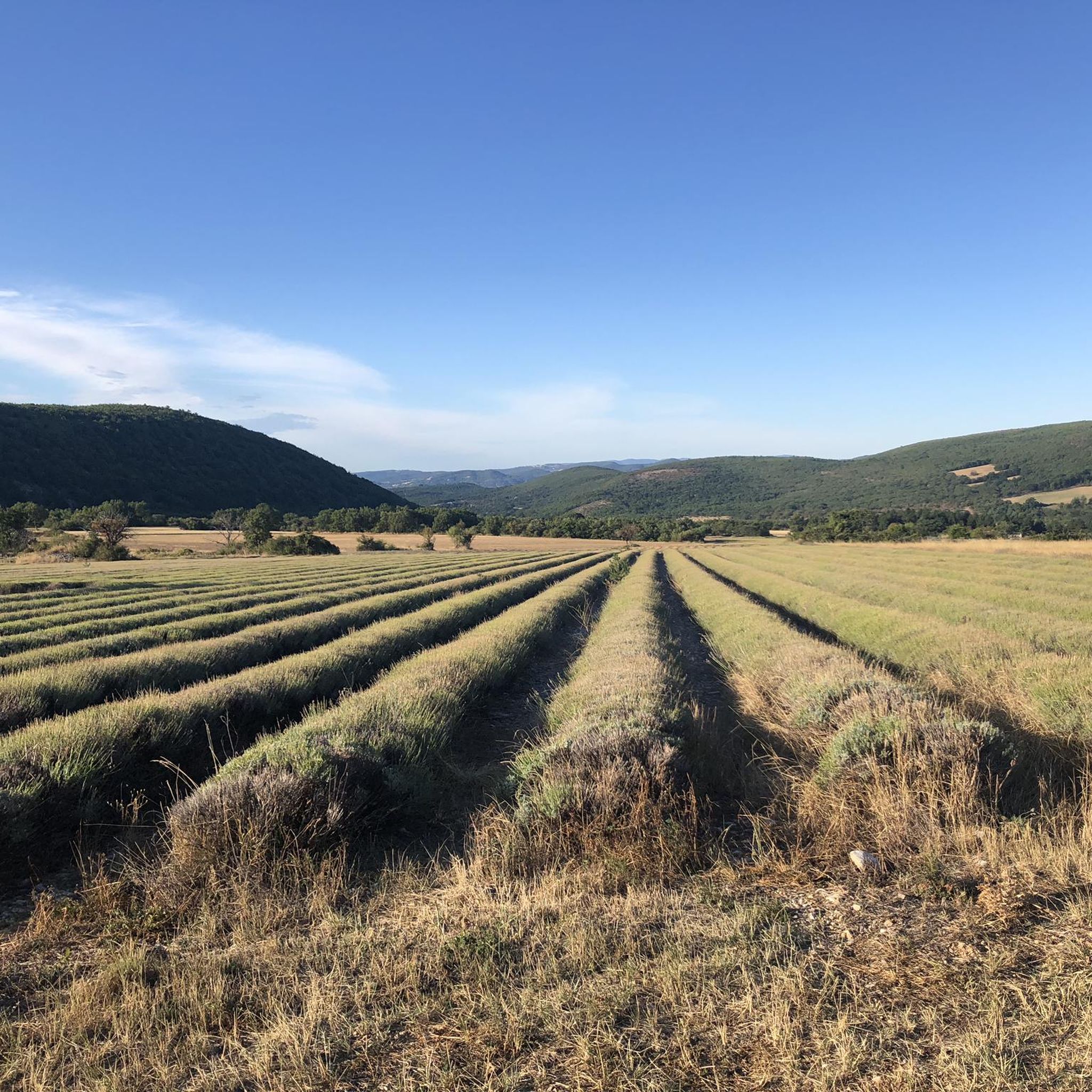
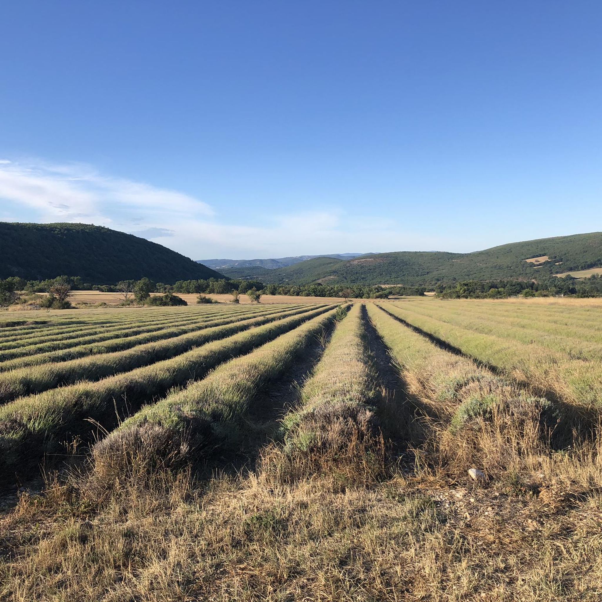
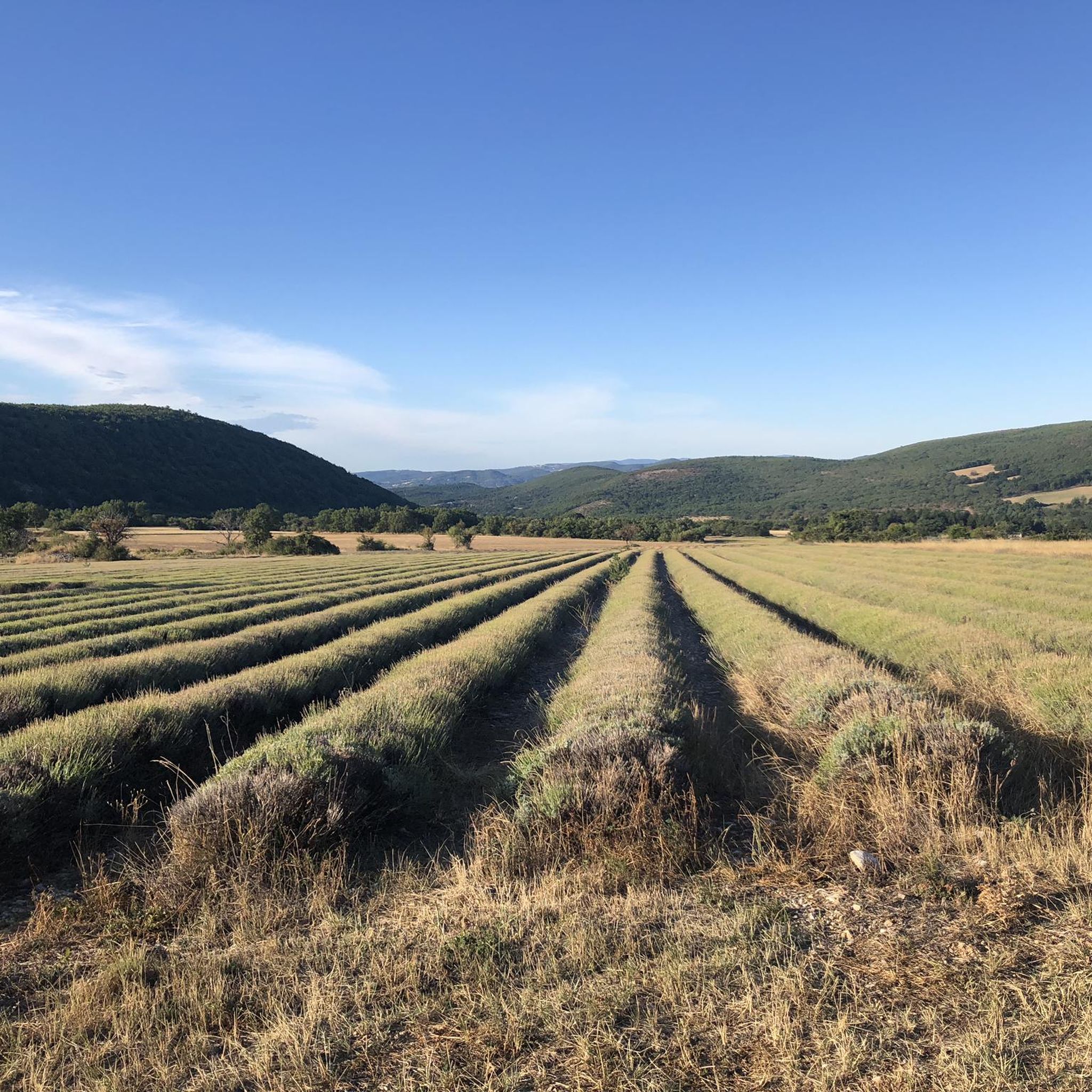
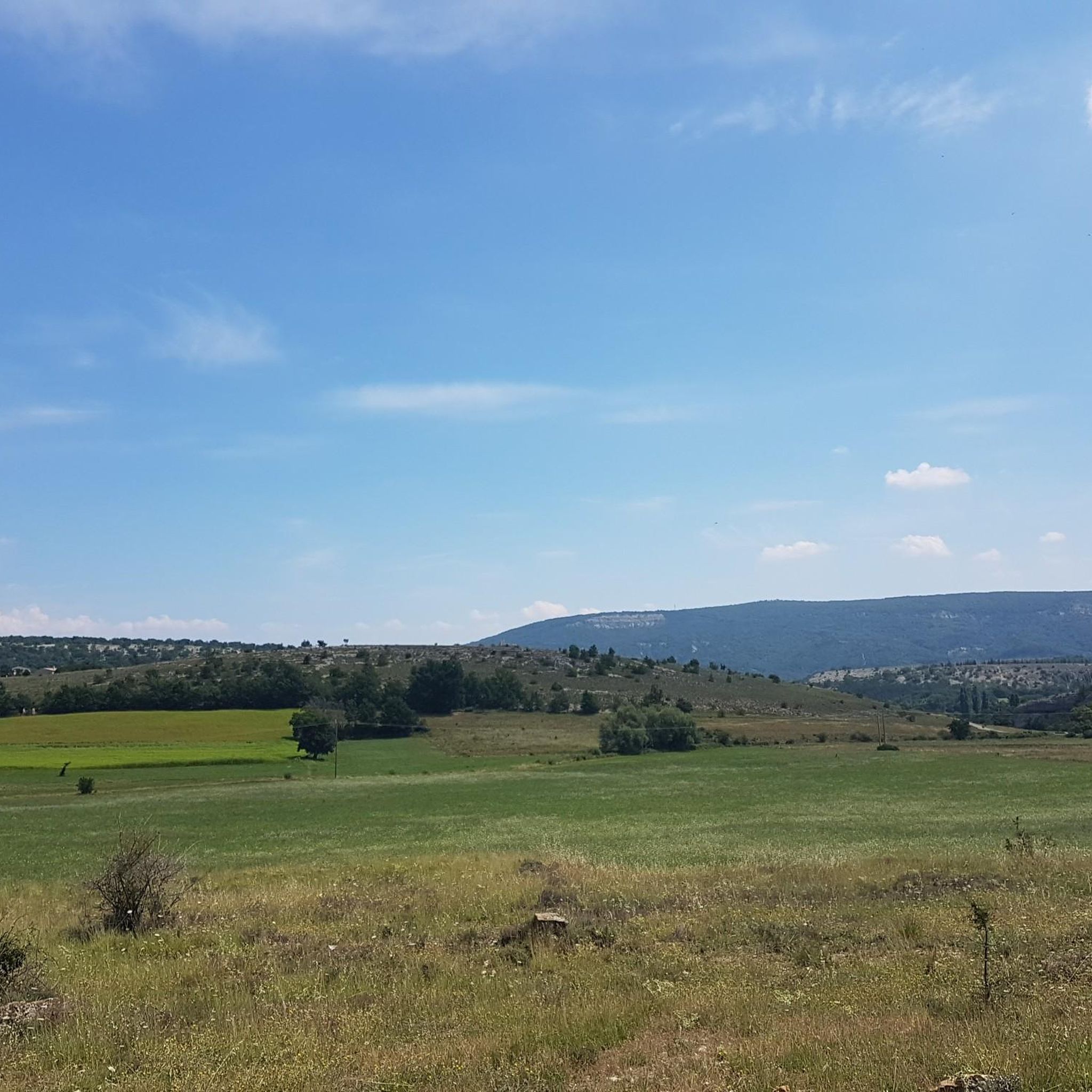
Hiking around Lardiers offers access to diverse natural features within the Alpes-de-Haute-Provence region, situated at the base of the Montagne de Lure. The landscape transitions from steep northern slopes covered in larch, beech, and fir forests to gentler southern areas featuring lavender fields and cedar trees. Hikers can explore a variety of terrains including forests, clearings, valleys, and limestone peaks, with the summit of Lure reaching 1826 meters.
Best hiking trails around Lardiers
- The most popular hiking route is Signal…
Last updated: June 25, 2026
4.8
(17)
55
hikers
11.5km
03:33
420m
430m
Moderate hike. Good fitness required. Mostly accessible paths. Sure-footedness required.
4.3
(9)
62
hikers
Moderate hike. Good fitness required. Easily-accessible paths. Suitable for all skill levels.

Sign up for free
4.9
(7)
36
hikers
Moderate hike. Good fitness required. Easily-accessible paths. Suitable for all skill levels.
4.7
(7)
28
hikers
6.80km
02:02
210m
210m
Moderate hike. Good fitness required. Easily-accessible paths. Suitable for all skill levels.
4.0
(4)
14
hikers
11.0km
03:19
370m
370m
Moderate hike. Good fitness required. Easily-accessible paths. Suitable for all skill levels.
Get access to more routes and recommendations from other explorers.
Sign up for free
Already have an account?
Our route recommendations are based on thousands of hikes, rides, and runs completed by other people on komoot.
Start today with a free account
Your next adventure awaits.
Login or Signup
Tips from the Community

best panoramic view, absolutely recommended!
0
0


The Ventoux's little brother. With a length of 17.7 kilometres and an ascent of 1054 vertical metres and a gradient of 5.9% on average, which implies a difficulty level of 688. The summit of the climb is located at 1746 metres above sea level. At the top the views are fabulous both towards Ventoux itself and towards the Alps. A long, very pleasant and fun climb that is worth the effort with percentages that remain around 5/6/7% and some peaks of up to 9.3%. The last 2 kilometres are very easy.
2
0

Indescribable view of the Alps
1
0

The Montagne de Lure is a large mountain in the Vaucluse in the Alpes-de-Haute-Provence department of France. It belongs to the same geological formation as the Albion plateau and Mont Ventoux. This chain extends over 42 kilometers and culminates in the Lure signal at 1,825 m and presents a very contrasting relief.
2
1
The Graille pass is probably the most famous pass in the Alps without even knowing it. So that? Because it is the obligatory step to reach the mountain of Lure. It is one of the first steps of the southern Alps. It is often compared to Mount Ventoux for its easily climbed, bald summit. Also well known to shepherds, the Pas de la Graille has been a path of transhumance since prehistoric times. The D53 connects Saint-Etienne-les-Orgues with Valbelle.
0
0

Mandatory climb in this region! Fantastic and calm
2
1
Frequently Asked Questions
How many hiking trails are available around Lardiers?
Lardiers offers a wide variety of hiking opportunities, with over 80 trails available. These routes cater to different skill levels, including easy, moderate, and difficult options.
What kind of landscapes can I expect to see while hiking near Lardiers?
Hiking around Lardiers provides a diverse range of landscapes. You'll encounter the dramatic Montagne de Lure with its steep northern slopes covered in larch, beech, and fir forests, contrasting with the gentler southern side featuring characteristic Provençal lavender fields and cedar trees. Expect to explore forests, clearings, valleys, and limestone peaks, including the summit of Lure at 1826 meters.
Are there any easy hiking trails suitable for beginners or families in Lardiers?
Yes, Lardiers has 23 easy hiking trails, perfect for beginners or families. One accessible option is the Paysages de Lure Viewpoint – Signal de Lure summit loop from Station de Lure, which is 5.3 km long and offers beautiful views without significant challenge. The region research also mentions "Le sentier du Bouiron" as an easy, three-hour trail starting from the cemetery.
What are some notable natural attractions or landmarks to look out for on the trails?
The area around Lardiers is rich in natural and historical landmarks. You can explore the Montagne de Lure Pass, enjoy views from the Pas de la Graille, and even spot three giant sequoias visible from a distance. For dedicated walkers, the path to "Le Gros Chêne" (The Big Oak), Lardiers' most famous tree, is another point of interest.
Are there any circular hiking routes available in Lardiers?
Yes, many of the trails around Lardiers are circular, allowing you to start and end at the same point. A popular moderate option is the Signal de Lure and the pas de la Graille in a loop, which is 11.5 km long. Another well-liked route is the Paysages de Lure Viewpoint – Montagne de Lure Pass loop from Station de Lure.
Is Lardiers suitable for dog-friendly hiking?
While specific regulations for dogs on trails can vary, the natural and open landscapes around Lardiers, particularly the extensive forests and clearings of the Montagne de Lure, generally offer good opportunities for hiking with dogs. Always ensure your dog is under control and check for any local signage regarding protected areas or livestock.
What do other hikers say about the trails in Lardiers?
The hiking trails in Lardiers are highly regarded by the komoot community, with an average rating of 4.7 stars from over 200 reviews. Hikers often praise the diverse terrain, from the challenging ascents of Montagne de Lure to the serene lavender fields, and the well-maintained paths that allow for exploration of this preserved part of Provence.
Are there any long-distance hiking routes that pass through Lardiers?
Yes, Lardiers is situated on the GR de Pays Tour de la Montagne de Lure (TdL), a long-distance hiking route that circles the Lure mountains. A branch of the TdL also connects to the GR6 Hiking Trail, offering opportunities for extended treks.
Where can I find parking for hiking trailheads in Lardiers?
Parking is generally available near the village center and at common starting points for trails. For specific trailheads, it's advisable to check the route details on komoot, as many tours provide information on recommended starting points and parking facilities.
What is the best time of year to go hiking in Lardiers?
The best time to hike in Lardiers is typically from spring to autumn. Spring offers vibrant wildflowers and pleasant temperatures, while summer allows you to experience the famous lavender fields in bloom. Autumn provides cooler weather and beautiful fall foliage. While winter hiking is possible, be prepared for colder temperatures and potential snow on higher elevations of Montagne de Lure.
Are there any places to eat or find amenities in Lardiers village after a hike?
Yes, the village of Lardiers offers traditional Provençal charm. You can find a central "Café de la Lavande" for refreshments. The village also has small streets and traditional stone houses, providing a pleasant atmosphere to relax after your hike. For more information on the village, you can visit haute-provence-tourisme.com.
What historical sites can be explored near Lardiers?
Beyond its natural beauty, Lardiers has historical points of interest. You can visit the Romanesque Church of Sainte-Anne, which features a classified 12th-century portal. There's also a privately owned 13th-century castle nearby, and for those interested in archaeology, the Gallo-Roman Site of Chastellard is located west of the village.
Most popular attractions around Lardiers

Get inspired with the komoot mobile app


Explore more
Browse the best Hikes in other regions.
