The best road cycling routes around Champfrémont
4.7
(21)
819
riders
290
rides
Road cycling around Champfrémont offers diverse landscapes within the Mayenne department, characterized by rolling hills, lush forested areas like the Multonne Forest, and serene river valleys. The region is part of the Regional Natural Park Normandy-Maine, providing varied terrain for cyclists. Key features include the Mont des Avaloirs, which offers panoramic views, and a network of quiet country roads.
Best road cycling routes around Champfrémont
- The most popular road cycling route is The Saint-Céneri Bridge – Saint-Cénéri-le-Gérei loop from Saint-Pierre-des-Nids…
Last updated: July 4, 2026
14
riders
Moderate road ride. Good fitness required. Mostly well-paved surfaces and easy to ride.
12
riders
Moderate road ride. Good fitness required. Mostly well-paved surfaces and easy to ride.

Sign up for free
8
riders
113km
05:26
1,480m
1,480m
Hard road ride. Very good fitness required. Mostly well-paved surfaces and easy to ride.
8
riders
Moderate road ride. Good fitness required. Mostly well-paved surfaces and easy to ride.
12
riders
Moderate road ride. Good fitness required. Mostly well-paved surfaces and easy to ride.
Get access to more routes and recommendations from other explorers.
Sign up for free
Already have an account?
Our route recommendations are based on thousands of hikes, rides, and runs completed by other people on komoot.
Start today with a free account
Your next adventure awaits.
Login or Signup

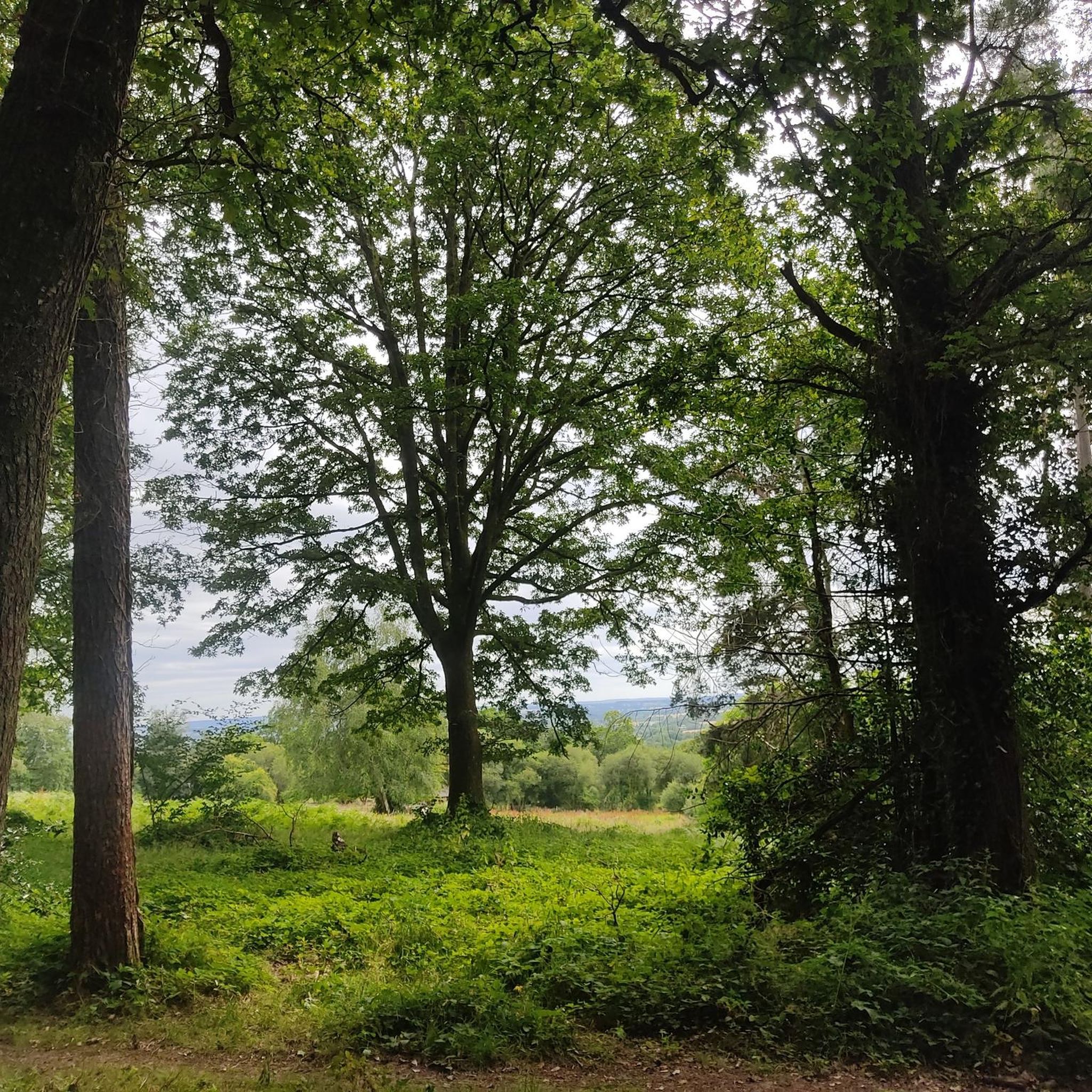
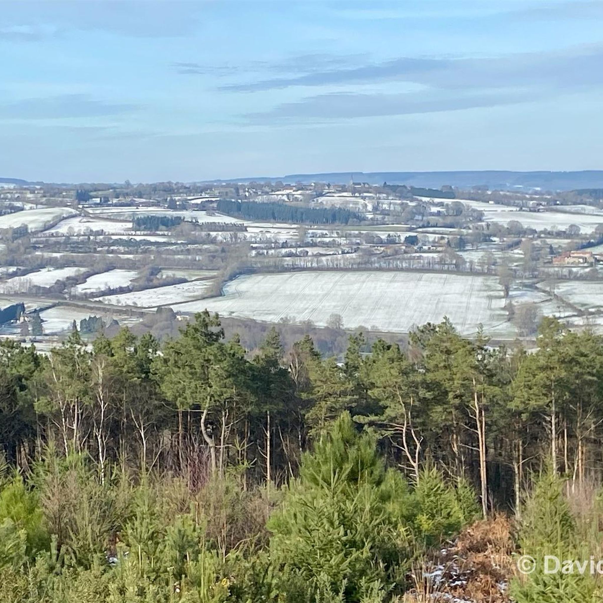
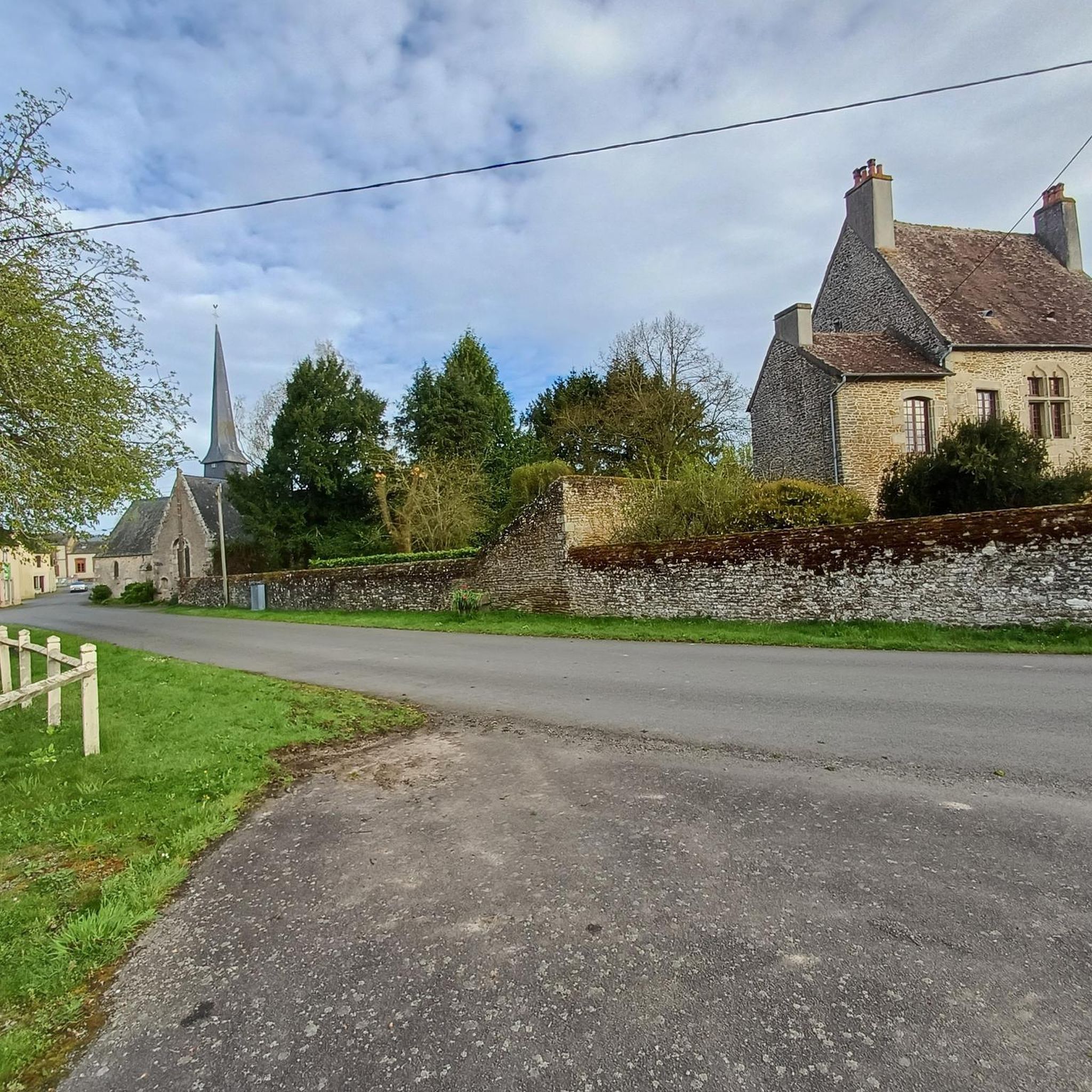


Other adventures around Champfrémont

Tips from the Community

This church is Romanesque in style (12th or 13th century) and was renovated during the Gothic period. Thus, on one side of the nave, there are semicircular arches and on the other, pointed arches. The bell tower dates from the 18th century. The church has a massed plan. The chevet is flat. The sacristy is attached to the chevet. The square bell tower, topped with an octagonal dome, is located on the south facade. On one side of the nave, there are bays. The portal opens under the bell tower. It is decorated with an ogee arch and a coat of arms.
0
0

very varied and pleasant hike
0
0

Very nice rating, but very hard
0
0
Saint-Pierre Church, from the mid-19th century (from 1856 or 1858).
0
0
The Chapitrel is the name given to the entrance gate. The period door is in the Renaissance style. This construction had several functions: It was reserved for catechumens who were not allowed to enter the church and served as a warehouse for farmers who sold at the market on Sunday mornings. The saddleback tower dates from 1545. It is 28 m high. It is square and has four levels. Each floor is separated by an external Roussard belt called a "larmier" which overhangs quite widely, preventing water from running off. At the top of the roof are two granite crosses, each topped with a copper weather vane representing a crowned dragon's head.
0
0
Saint-Martin Chapel. It dates from the 12th or 13th century. It is made of granite, roussard sandstone and brick. This small chapel is lost in the middle of the fields. It is a simple rectangular nave which has a Romanesque window at its chevet.
0
0
This neo-Gothic style church saw its first stone laid on July 6, 1880 and was consecrated in 1883. It replaced an old church which dated from the Middle Ages and which was considered too small for masses.
0
0

Frequently Asked Questions
How many road cycling routes are available around Champfrémont?
Champfrémont and its surroundings offer a wide variety of road cycling routes, with over 260 options available on komoot. These routes cater to all skill levels, from easy scenic rides to challenging climbs, primarily within the picturesque Normandy-Maine Regional Natural Park.
What kind of terrain can I expect when road cycling near Champfrémont?
The terrain around Champfrémont is characterized by rolling hills and quiet country roads, offering a mix of ascents and descents. The region is home to the Mont des Avaloirs, the highest point in Western France, which provides opportunities for challenging climbs and rewarding panoramic views. You'll cycle through lush forested areas like the Multonne Forest and serene river valleys.
Are there any easy road cycling routes suitable for beginners or families?
Yes, Champfrémont offers several easy road cycling routes. While the region is known for its rolling hills, there are 27 routes specifically graded as easy, providing a gentler introduction to the area's beautiful landscapes. These routes are perfect for those looking for a more relaxed ride or families with older children comfortable on roads.
What are some notable landmarks or viewpoints to see along the road cycling routes?
Many routes offer scenic viewpoints and pass by charming landmarks. You can enjoy panoramic views from the Mont des Avaloirs viewpoint. Cyclists can also explore picturesque villages such as Saint-Cénéri-le-Gérei, recognized as one of France's Most Beautiful Villages, and Saint-Léonard-des-Bois. The Saint-Céneri-le-Gérei — Village and Stone Bridge is a particularly charming spot.
What do other road cyclists enjoy most about cycling in Champfrémont?
The road cycling routes around Champfrémont are highly rated by the komoot community, with an average score of 4.5 stars from over 25 reviews. Cyclists often praise the quiet country roads, the diverse landscapes within the Normandy-Maine Regional Natural Park, and the challenging yet rewarding climbs, especially around the Mont des Avaloirs.
Can I find circular road cycling routes in the Champfrémont area?
Yes, many of the road cycling routes around Champfrémont are designed as circular loops, allowing you to start and finish at the same point. For example, the The Saint-Céneri Bridge – Saint-Cénéri-le-Gérei loop from Saint-Pierre-des-Nids is a popular moderate circular route covering 34.6 miles (55.6 km) through the scenic Mayenne countryside.
Are there any challenging road cycling routes for experienced riders?
Absolutely. For experienced riders seeking a challenge, Champfrémont offers 29 difficult-graded routes. These often include significant elevation changes, particularly around the Mont des Avaloirs. A notable challenging route is The Grand Pond of Sillé – Saint-Léonard-des-Bois loop from Saint-Pierre-des-Nids, a 70.3 miles (113.1 km) trail with substantial elevation gain.
What is the best time of year for road cycling in Champfrémont?
The best time for road cycling in Champfrémont is typically during the spring, summer, and early autumn months. During these seasons, the weather is generally milder and more stable, making for pleasant riding conditions. The natural park is particularly beautiful when the foliage is green or changing colors.
Where can I park my car when starting a road cycling route in Champfrémont?
While specific parking areas for cyclists aren't detailed, given the rural nature of Champfrémont and the surrounding Normandy-Maine Regional Natural Park, you can generally find parking in or near the starting points of routes, especially in villages like Saint-Pierre-des-Nids or near popular attractions like the Mont des Avaloirs viewpoint. Always ensure you park responsibly and legally.
Are there any cafes or places to eat along the road cycling routes?
Yes, as you cycle through the charming villages and towns in the region, such as Saint-Cénéri-le-Gérei or Saint-Léonard-des-Bois, you will find local cafes, restaurants, and small shops where you can refuel and enjoy regional specialties. These amenities are often located conveniently along or near popular cycling paths.
Can I access Champfrémont and its cycling routes using public transport?
Public transport options directly to Champfrémont might be limited due to its rural location within the natural park. However, larger towns in the Mayenne department or nearby regions may offer better public transport links. It's advisable to check local bus or train schedules to nearby hubs and consider cycling from there, or arranging a car share if bringing your bike.
Are there any specific road cycling routes that offer a good mix of scenery and moderate challenge?
Many routes in the area provide a balanced experience. The Saint-Léonard-des-Bois – Saint-Pierre Church loop from Saint-Pierre-des-Nids is a moderate 23.8 miles (38.3 km) path that traverses picturesque landscapes with a good mix of ascents and descents, offering both scenic beauty and a satisfying workout.
Most popular routes around Champfrémont
Most popular attractions around Champfrémont

Get inspired with the komoot mobile app


Explore more
Browse the best Road cycling routes in other regions.
