The best cycling routes around La Gripperie-Saint-Symphorien
4.2
(346)
2,341
riders
63
rides
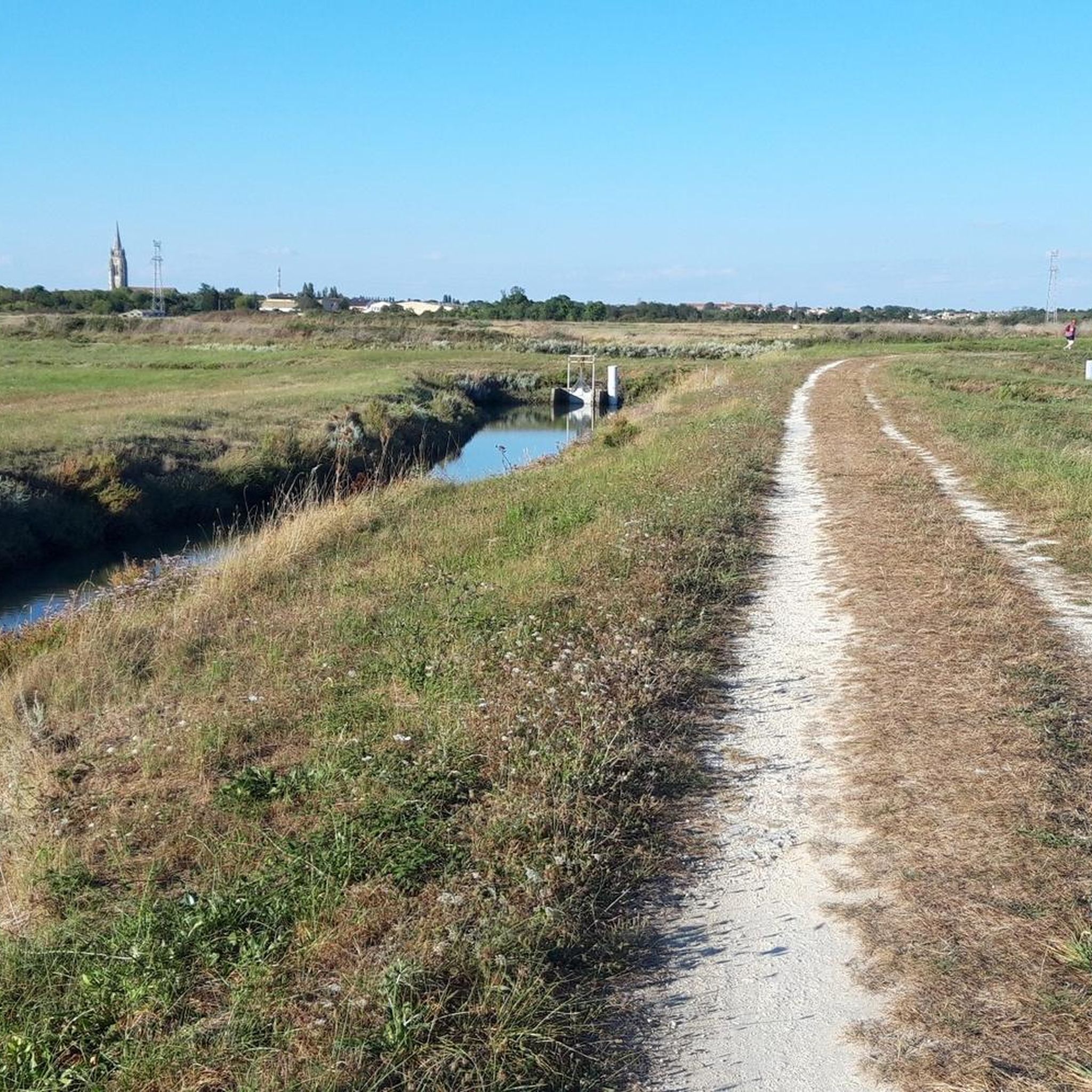
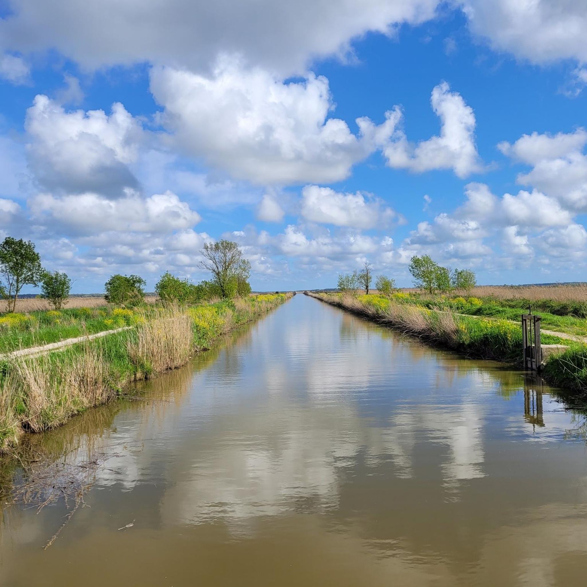
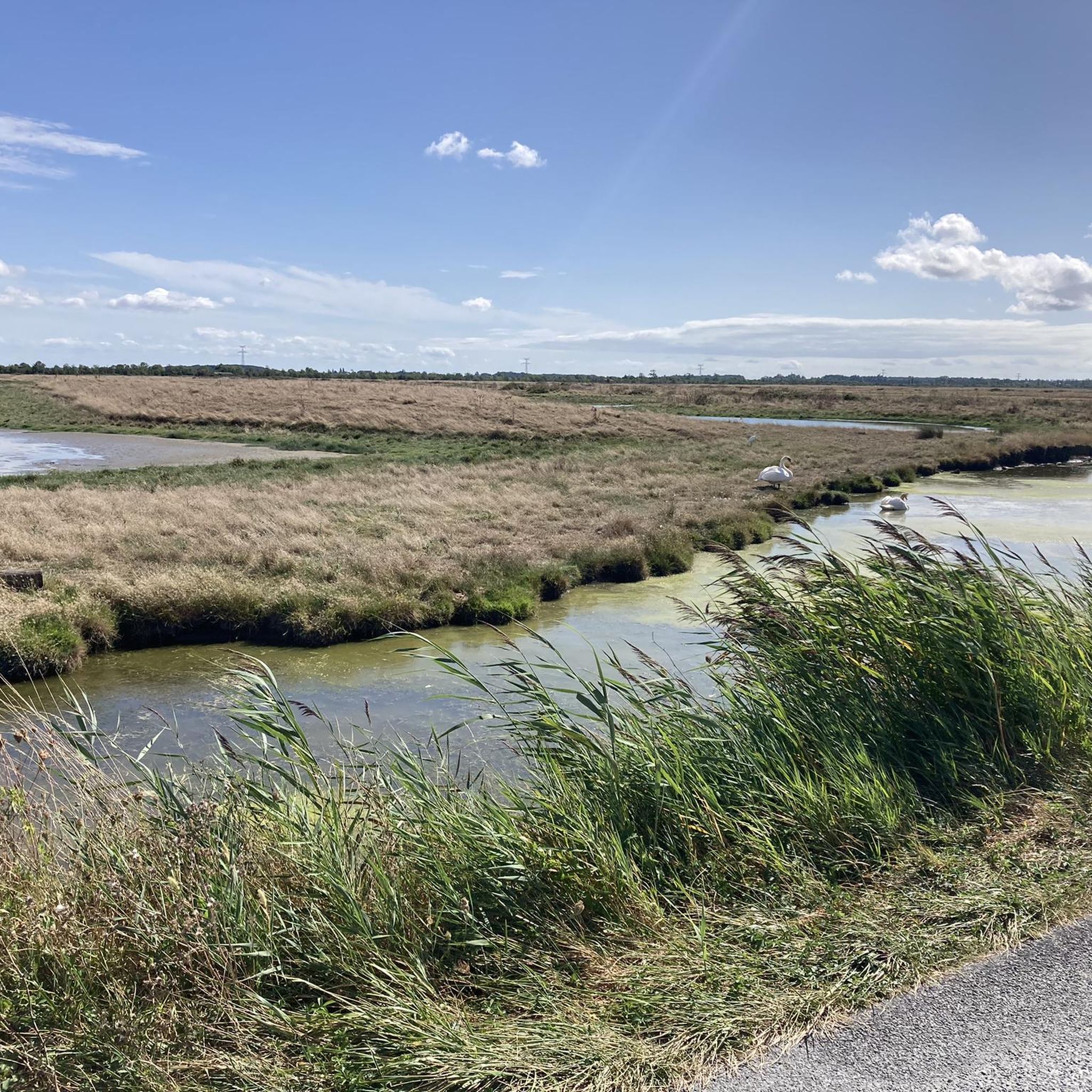
Touring cycling routes around La Gripperie-Saint-Symphorien traverse the Charente-Maritime department in western France, offering diverse landscapes for exploration. The region features an Atlantic coastline with sandy beaches and preserved wild marshes, alongside rolling hills, small hamlets, forests, and prairies. Its natural heritage includes marshes, bird reserves, and ancient trees, providing varied backdrops for cycling.
Best touring cycling routes around La Gripperie-Saint-Symphorien
- The most popular touring cycling route is Icehouse – Brouage Citadel loop from Saint-Just-Luzac, a 15.8 miles (25.4…
Last updated: October 14, 2026
4.4
(29)
269
riders
Hard bike ride. Very good fitness required. Mostly paved surfaces. Suitable for all skill levels.
4.4
(16)
51
riders
25.1km
01:25
40m
40m
Easy bike ride. Great for any fitness level. Mostly paved surfaces. Suitable for all skill levels.

4.3
(3)
15
riders
33.4km
02:24
100m
100m
Moderate bike ride. Good fitness required. Mostly paved surfaces. Suitable for all skill levels.
5.0
(5)
42
riders
31.3km
01:54
50m
50m
Easy bike ride. Great for any fitness level. Mostly paved surfaces. Suitable for all skill levels.
4.0
(2)
17
riders
25.2km
01:46
110m
110m
Easy bike ride. Great for any fitness level. Mostly paved surfaces. Suitable for all skill levels.
Get access to more routes and recommendations from other explorers.
Already have an account?
Our route recommendations are based on thousands of hikes, rides, and runs completed by other people on komoot.
Start today with a free account
Your next adventure awaits.

Tips from the Community

One of the most beautiful dovecotes in France, built of ashlar and of vast proportions. Built in the 16th century, it is a masterpiece of the early Renaissance with its dome and its great ornamental richness. It consists of 2959 nesting holes worked in limestone ashlar and intended for a pair of pigeons. Inside, a mobile system of wooden ladders on brackets allows access to all the nesting holes. The essential purpose of pigeon breeding was the recovery of their droppings, a rich fertilizer. Possibility of a visit by appointment by contacting the town hall.
0
0

Attention: The ferry does not accept card payments! Without cash, the only option is to take a detour over the busy bridge. Price in 2026 is €3.
1
0

The carrelets of Saint-Palais-sur-Mer are among the most emblematic elements of the Charente coastline. Their history blends traditional fishing, tourist development, and local heritage. 🐟 Origin of the carrelets Originally, the word "carrelet" referred to a square fishing net used since the 17th century. A precise description can be found as early as 1769, in the writings of the scholar Henri-Louis Duhamel du Monceau, who mentioned this type of fishing on the Saintonge coast. 👉 At that time, these were not yet the current huts, but simply a net operated from rudimentary structures. ⚓ Artisanal fishing structures The first local carrelets were simple wooden platforms, built by the fishermen themselves to stand above the water. They were mainly used to catch shrimp, fish, and crabs near the shore, without going out to sea. 👉 It was a family and coastal fishery, less dangerous than sea fishing. 🏖️ 19th – early 20th century: transition to a leisure activity At the turn of the 20th century, with the rise of seaside resorts like Saint-Palais, the carrelets evolved. Holidaymakers and notable figures adopted this practice: construction of fixed jetties, appearance of huts on stilts. The carrelets then became places for relaxation as much as for fishing. 👉 They already contributed to the postcard image of the coast. 🪵 After 1945: democratization and multiplication After the Second World War, the number of carrelets increased sharply. They became a symbol of popular leisure and conviviality. The transition was gradually made from a means of subsistence to a recreational activity. 🌊 Storms and reconstruction The carrelets are fragile in the face of storms: 1999: massive destruction (up to 90% in some areas) 2010 (Xynthia storm): new damage Many have been rebuilt identically, respecting tradition. 🏛️ Today: protected heritage In Charente-Maritime, there are about 400 carrelets. They are: integrated into the public maritime domain allocated by administrative authorization (often renewed every 5 years) Since 2018, they have been recognized as cultural heritage of the department. 👉 In Saint-Palais, they can be observed in particular: at Pont du Diable at the conche du Concié at the Puits de l’Auture
0
0

beautiful and very interesting building
0
0
The port of Ribérou is a major heritage site in Saujon, bearing witness to a prosperous maritime past linked to the salt and wine trade. Transformed in the 19th century by ambitious works, it has now been reinvented as a place for living, relaxation, and preserving local history. 🛶 Origins and the Middle Ages The port of Ribérou takes its name from the Latin word ripa ("riverbank") or the Occitan word ribèira ("river"). It is located at the head of the Seudre estuary. It existed as early as the 11th century and became an important river and sea port thanks to its strategic position at the head of the estuary, used particularly for the salt trade—then called "white gold"—a highly sought-after product for preserving food. 🚢 Medieval Period and International Trade With the opening of British markets during the reigns of Eleanor of Aquitaine and Henry II Plantagenet, ships laden with wool, salt, wine, and other goods flocked to Ribérou. In the 16th century, the port exported local wines (such as cognac and pineau) throughout Europe. In 1577, during the Wars of Religion, the port was a strategic site: troops were stationed there, and battles took place. 🏗️ Decline, Reconstruction, and the 19th Century The estuary gradually silted up, making navigation difficult. By 1691, only smaller vessels could dock there. During the French Revolution, the sale of the tidal mill, which helped remove sediment, worsened the silting, leading to the port's decline. A modernization project began in 1822, but it wasn't until 1839 that an ambitious program was launched under the impetus of Jules Dufaure—a native of Saujon and Minister of Public Works—with the construction of sturdy quays, slipways, a lock bridge (marking the boundary between fresh and salt water), and reception facilities. In 1842, the work was completed, and the main quay was named Quai Dufaure in honor of this political support. 📉 Gradual Decline and Modernization The arrival of the railway in 1876 and the persistent problems of silting led to a decline in the port's traditional commercial activity, already facing competition from other transport networks. In the 20th century, the port gradually lost its economic importance but remained active for traditional fishing and became a place for pleasure boating, leisure, and local culture. Urban and tourism development projects (particularly in 2011–2012) modernized the port while preserving its historical charm. 🌊 Today The port of Ribérou is now a small fishing and pleasure port, much appreciated for its walks along the Seudre River, water sports (canoeing, kayaking, paddleboarding, etc.), and seasonal events.
0
0

The flushing lock is located at the head of the port, between the north bank's embankment and the south bank's quay. A retention basin, occupying the non-navigable Seudre riverbed as far as Saujon, follows the flushing lock. Within the retention basin, rubble stone embankments extend the lock's return walls for a few meters. The lock itself forms a bridge carrying a road. The lock bridge consists of two piers, forming three arches, each housing two gates. On the upstream side of the lock, the piers have semicircular cutwaters. The three bands are stacked and terminate in clamps. The lock ends with a cornice resting on modillions. The cornice follows the shape of the cutwaters. A metal balustrade, also semicircular in shape, is fixed to the top of the lock. This balustrade is framed by two stone moldings. The sluice gate and its upstream and downstream return walls are constructed of dressed stone. The masonry is of medium and regular quality, except for the coping of the return walls, which features large and regular masonry. The upstream north return wall is lower than the one on the south bank. A small parapet of recently constructed white rubble masonry surmounts it. The sluice gate is equipped with metal gates, the modern racks of which are visible. The first sluice gate was built around 1825 on the site of a former tidal mill. During the works carried out between 1839 and 1842, the sluice gate's embankment was modified to allow the passage of vehicles. Between 1847 and 1853, the lock was enlarged to allow for larger flushes, and the reservoir was excavated. Return walls were also built to connect the flushing lock to the riprap. It was then restored in 1865 and completely rebuilt between 1868 and 1869. The lock is 10.50 m wide, and its gates are each 1.50 m wide. The reservoir is 700 m long and has an average width of 30 m.
0
0

Frequently Asked Questions
How many touring cycling routes are available around La Gripperie-Saint-Symphorien?
There are over 60 touring cycling routes available in the area around La Gripperie-Saint-Symphorien. These routes cater to various skill levels, offering a diverse range of experiences from easy coastal rides to more challenging inland explorations.
What types of landscapes will I encounter on touring cycling routes in this region?
The routes around La Gripperie-Saint-Symphorien offer a rich variety of landscapes. You can expect to cycle along the Atlantic coastline with its sandy beaches, through preserved wild marshes and bird reserves, and past rolling hills, small hamlets, forests, and prairies. The natural heritage also includes ancient trees, orchards, and wetlands, providing scenic backdrops for your rides.
Are there any easy touring cycling routes suitable for beginners or families?
Yes, the region offers many easy touring cycling routes perfect for beginners and families. For instance, the Port of Marennes – Marennes Covered Market loop from Saint-Just-Luzac is an easy 11.5-mile (18.6 km) path that explores the coastal area known for oyster farming. There are 39 easy routes in total, ensuring plenty of gentle options.
Can I find challenging touring cycling routes in La Gripperie-Saint-Symphorien?
While many routes are easy to moderate, there are options for more challenging rides. For example, the Rochefort Transporter Bridge – In the Coubre Forest loop from Saint-Just-Luzac is a difficult 71.7-mile (115.4 km) route with significant elevation changes, offering a more demanding experience for experienced cyclists. Overall, there are 2 difficult routes available.
Are there circular touring cycling routes available?
Yes, many of the touring cycling routes in the area are circular, allowing you to start and end at the same point. A popular example is the Icehouse – Brouage Citadel loop from Saint-Just-Luzac, a 15.8-mile (25.4 km) trail that offers views of the historic Brouage Citadel and surrounding marshlands.
What historical sites or natural attractions can I visit along the cycling routes?
The region is rich in attractions. Along your rides, you can explore the historic Brouage Citadel, a former salt trading port. You might also encounter the picturesque Mornac-sur-Seudre Marshes, known for oyster farming. The Port of Marennes – Chenal de Marennes loop from Saint-Just-Luzac will lead you through coastal marshlands and waterways, offering views of the local environment and potentially the Saint Peter's Church, Marennes.
What is the best time of year for touring cycling in Charente-Maritime?
The Charente-Maritime region, including La Gripperie-Saint-Symphorien, is generally pleasant for cycling from spring through autumn. The coastal climate means milder winters and warm, sunny summers. Spring and early autumn offer comfortable temperatures and fewer crowds, making them ideal for touring cyclists.
Are there options for long-distance touring cycling from La Gripperie-Saint-Symphorien?
Yes, the area benefits from its connection to larger cycling networks. While specific long-distance routes starting directly from La Gripperie-Saint-Symphorien are not detailed in the guide, the wider Charente region has junction points providing access to major routes like "La Scandibérique" and "Flow-Vélo," which are designed for long-distance touring. These connections allow for extended journeys beyond the immediate vicinity.
What do other touring cyclists say about the routes in La Gripperie-Saint-Symphorien?
The touring cycling routes around La Gripperie-Saint-Symphorien are highly rated by the komoot community, with an average score of 4.4 stars from over 270 reviews. Cyclists often praise the diverse terrain, ranging from coastal paths to marshlands and rolling hills, and the well-maintained infrastructure that makes exploring the region enjoyable.
Is it possible to find accommodation or places to eat along the cycling routes?
Yes, the region is well-equipped for visitors. As you cycle through small hamlets and towns, you'll find various options for accommodation, cafes, and restaurants. The proximity to larger tourist hubs like Marennes and Rochefort means there are ample choices for places to rest and refuel, often with a focus on local cuisine, including fresh seafood and oysters.
How can I access the starting points of the cycling routes, and is parking available?
Many routes are accessible from various points within La Gripperie-Saint-Symphorien and nearby towns like Saint-Just-Luzac. Parking is generally available in these towns, often near public spaces or designated parking areas. For specific starting points, it's advisable to check the individual route details on komoot.
Can I rent a bike in the La Gripperie-Saint-Symphorien area?
While specific bike rental shops in La Gripperie-Saint-Symphorien are not detailed, the Charente-Maritime department is a popular cycling destination. Bike rental services are commonly found in larger nearby towns and tourist centers such as Marennes, Rochefort, or Royan, making it convenient to rent equipment for your touring adventures.
Are the cycling routes in Charente-Maritime dog-friendly?
Many outdoor areas and paths in Charente-Maritime are generally dog-friendly, especially those in natural settings like marshes and forests. However, specific rules can vary, particularly in nature reserves or protected areas. It's always recommended to keep dogs on a leash and check local signage for any restrictions. Some accommodations may also be pet-friendly.
Most popular routes around La Gripperie-Saint-Symphorien
Most popular attractions around La Gripperie-Saint-Symphorien

Get inspired with the komoot mobile app


Explore more
Browse the best Cycling routes in other regions.
