The best road cycling routes around La Gripperie-Saint-Symphorien
4.3
(37)
849
riders
67
rides
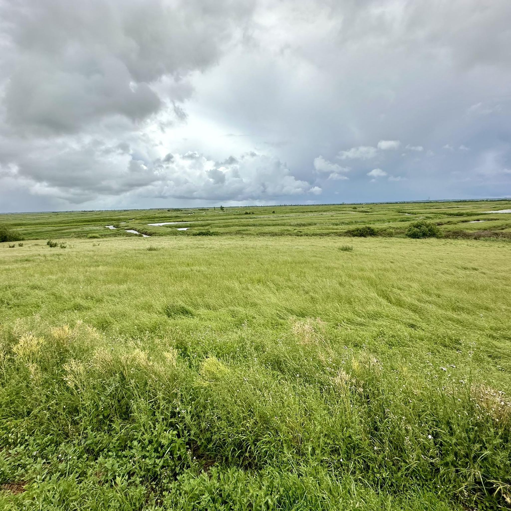
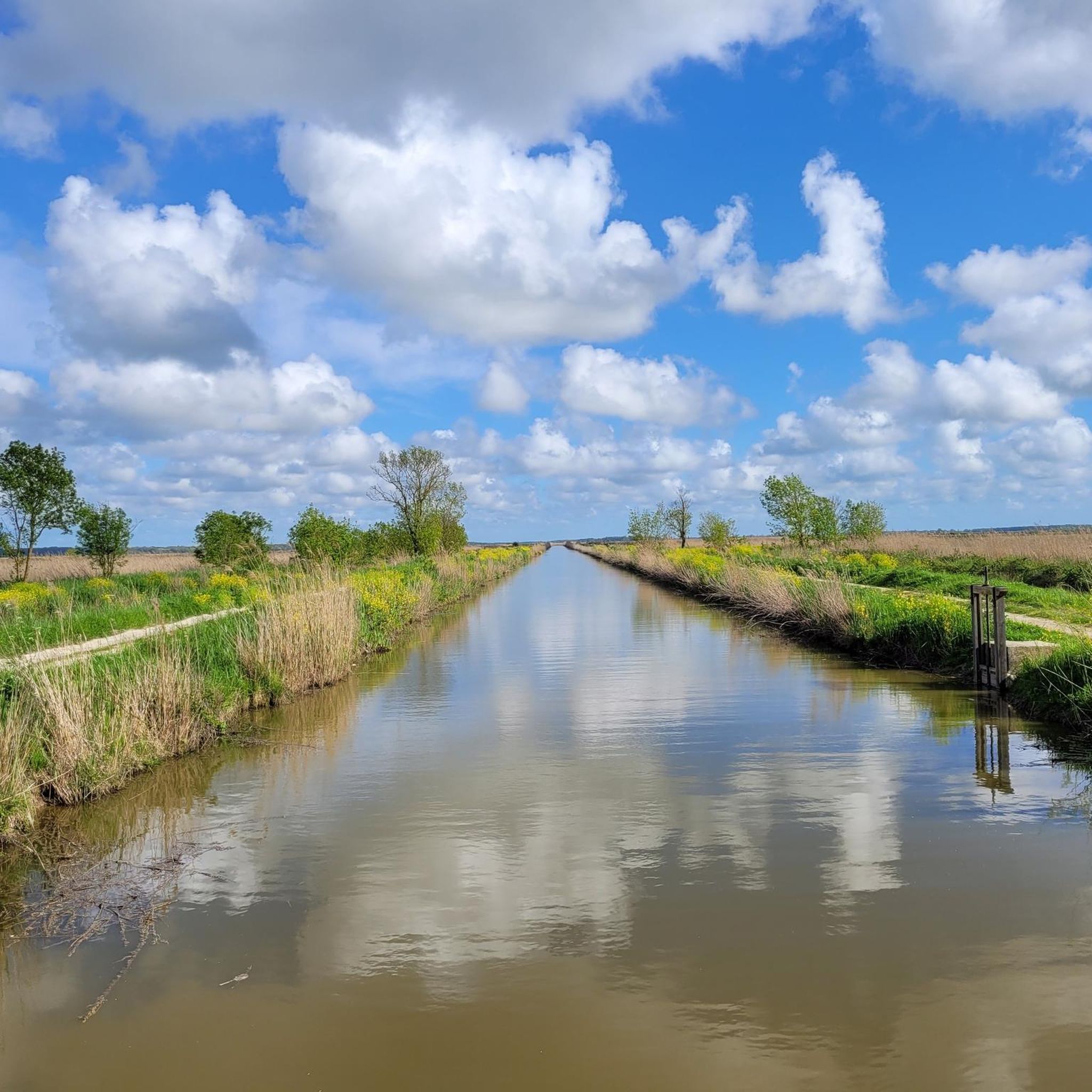
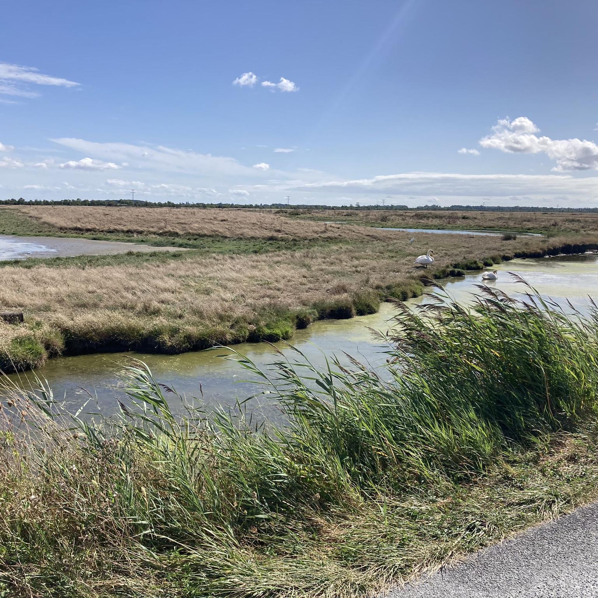
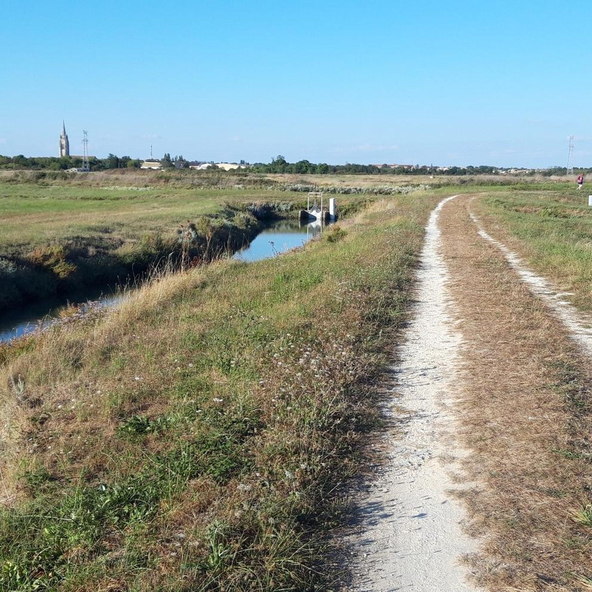
Road cycling around La Gripperie-Saint-Symphorien is characterized by its predominantly flat terrain, making it accessible for various fitness levels. The region features extensive marshlands, including the Marais de Brouage, offering serene routes with minimal elevation changes. Cyclists can also access scenic coastal paths and routes along rivers and estuaries, such as the Charente River. This area is integrated into a broad network of cycling routes, including sections of the Vélodyssée.
Best road cycling routes around La Gripperie-Saint-Symphorien
- The most popular…
Last updated: October 20, 2026
4.3
(3)
28
riders
Moderate road ride. Good fitness required. Mostly well-paved surfaces and easy to ride.
16
riders
37.4km
01:30
120m
120m
Easy road ride. Great for any fitness level. Mostly well-paved surfaces and easy to ride.

5.0
(1)
16
riders
60.4km
02:24
230m
230m
Moderate road ride. Good fitness required. Mostly well-paved surfaces and easy to ride.
5.0
(1)
13
riders
Moderate road ride. Good fitness required. Some segments of this route may be unpaved and difficult to ride.
5.0
(1)
17
riders
39.4km
01:33
110m
110m
Easy road ride. Great for any fitness level. Mostly well-paved surfaces and easy to ride.
Get access to more routes and recommendations from other explorers.
Already have an account?
Our route recommendations are based on thousands of hikes, rides, and runs completed by other people on komoot.
Start today with a free account
Your next adventure awaits.

Tips from the Community

The Halles of Mornac first appeared in the Middle Ages. It was only in 1664 that the first written proof attested to their existence. They are likely older and could date back to the 1550s. The Halles are generally timber-framed shelters supported by stone pillars and covered with tiles. It can be assumed that, like those of Cozes and Pisany, they suffered the vicissitudes of the Wars of Religion and were damaged, or even destroyed, then rebuilt when peace returned. The site of the Halles of Mornac was a renowned fairground and allowed the inhabitants to sell their products in exchange for a fee paid to the Lord. It was an important source of income for him, which also obliged him to maintain these Halles in perfect condition. An act engaging the Lord and the seller sealed a contract signifying the rights to sell unpacked goods and the maintenance of the said Halles.
0
0
Located on the commune of St-Palais-sur-Mer, at the tip of Terre-Nègre, it is intended to mark the southern passage of the Gironde estuary and to signal the presence of a dangerous sandbank, the la barre à l'Anglais.
0
0

Here you'll find a romantic little lighthouse, and behind it lies a garden with a bench overlooking the sea, a lovely place to stop for a break. Afterwards, you can continue along the cliff to the right until you reach Euro Velo 1 again.
0
0

Easily accessible place, only the last meters are prohibited for cyclists.
0
0

Perfect beachside bike trail along the boulevard, with several rest stops with seating and beach acces.
0
0

On the beach of Royan (20,000 inhabitants). This is where the boat that takes you across the Gironde docks/departs.
0
0

The Terre-Nègre lighthouse is a landmark forming a cylindrical tower a little over 26 meters high. Located on the tip of Terre-Nègre, in the commune of Saint-Palais-sur-Mer, in Charente-Maritime, it is intended to mark the southern pass of the Gironde estuary and to signal the presence of a dangerous sandbank, the "Anglais bar". This building forms a tower-column 3.16 meters in diameter and 26.60 meters high. A spiral staircase with a central core of 143 steps leads to a summit platform equipped with a directional light. The tower is painted in two different colors to make it more visible: the upper part is red, the lower part is white. The base of the lighthouse is hidden by a building that once served as the keeper's accommodation. The installation of a beacon at this location was considered as early as 1763. De Kearney took over the beaconing plan four years later. Construction work on the tower began in 1770 and was completed in 1773, probably under the supervision of the Bordeaux engineer Claude Tardy. In 1807, the tower was raised. However, this work was considered insufficient by some of the estuary's navigators. In 1834, sailors from the nearby port of Royan sent a request to the Ministry of the Navy to study the possibility of equipping the tower with a light. However, this request was postponed the following year due to lack of sufficient funds. A new request from sailors prompted the lighthouse commission to experiment with a first light in 1836. Finally, on October 15, 1838, a fixed white 4th order light was permanently installed. The latter was replaced in 1856 by a fixed white light of the 4th order of a small dioptric model with a reinforced sector of the 5th order catoptric. It was equipped with new lights in 1899 and 1904. In 1939, it was electrified. During the German occupation, the lighthouse served as an observatory for the soldiers of the Wehrmacht. Damaged during the fighting of 1945 (presence of breaches at the top of the tower), it was restored in the immediate post-war period. In March 1947, the lighthouse was operational again. A light with 3 occultations — changing every 12 seconds — was installed. Its colors are white, red and green. Its current range is 18 miles. Listed as a Historic Monument since 2011, the lighthouse is not open to visitors. However, it can be admired from the outside and a pretty passage provides direct access to the coastal path.
0
0

Along the Oysterfields, This is France at its best (when the sun shines!)
0
0
Frequently Asked Questions
How challenging are the road cycling routes around La Gripperie-Saint-Symphorien?
The road cycling routes in this region are predominantly flat, making them accessible for a wide range of fitness levels. The area features extensive marshlands and coastal paths with minimal elevation changes. Out of 62 available routes, 25 are classified as easy and 37 as moderate, with no difficult routes.
When is the best time to road cycle in La Gripperie-Saint-Symphorien?
The Charente-Maritime department generally offers pleasant cycling conditions for much of the year. Spring and autumn provide mild temperatures and beautiful scenery, while summer can be warm but is ideal for coastal rides with refreshing sea breezes. Always check local weather forecasts before heading out.
What historical sites or landmarks can I see along the road cycling routes?
Many routes pass through or near historical points of interest. You can cycle past the impressive Brouage Citadel, a former salt trading port, or visit the Saint-Pierre Church of Hiers-Brouage. The charming village of Mornac-sur-Seudre, known for its oyster farming, is also a frequent highlight.
Are there scenic viewpoints or natural attractions along the routes?
Yes, the region is rich in natural beauty. You'll find routes winding through vast marshlands, including the Mornac-sur-Seudre Marshes, offering serene and picturesque views. Coastal paths provide refreshing sea air and panoramic vistas, while routes along the Charente River offer varied riverbank scenery.
Are there circular road cycling routes available?
Yes, many of the road cycling routes around La Gripperie-Saint-Symphorien are designed as loops, allowing you to start and finish in the same location. An example is the Church of Le Gua in Aubin loop from Le Gua, an easy 39.4 km route.
Are there family-friendly road cycling routes in the area?
Given the predominantly flat terrain, many routes are suitable for families. The extensive network of 'voies vertes' (greenways) and quiet country roads ensures a safe and enjoyable experience. Look for routes classified as 'easy' for the most family-friendly options, such as the Roadbike loop from Saint-Just-Luzac, which is 28.5 km long.
Where can I park my car when starting a road cycling route?
Many villages and towns that serve as starting points for routes, such as Saint-Just-Luzac or Le Gua, offer public parking facilities. The region also benefits from 'Accueil Vélo' certified establishments, which often provide secure parking options for cyclists. Specific parking details can usually be found on individual route pages.
Is La Gripperie-Saint-Symphorien connected to major cycling networks like the Vélodyssée?
Yes, La Gripperie-Saint-Symphorien is well-integrated into the broader regional cycling network. You can access sections of the Vélodyssée (EuroVelo 1), a major Atlantic coast route, as well as the Flow Vélo and Scandibérique (EuroVelo 3), offering extensive long-distance cycling opportunities on dedicated paths and quiet roads.
What do other road cyclists enjoy most about cycling in La Gripperie-Saint-Symphorien?
The area is highly rated by the komoot community, with an average score of 4.0 stars from over 30 reviews. Cyclists often praise the region's flat terrain, making it enjoyable for all abilities, and the diverse scenery, from tranquil marshlands to refreshing coastal paths and charming villages.
Are there places to stop for refreshments or accommodation along the routes?
Yes, cycling routes frequently pass through picturesque villages and towns where you can find cafes, restaurants, and local shops. The region also has 'Accueil Vélo' labeled establishments, which are cyclist-friendly and offer services like secure bike storage and sometimes even accommodation.
Can I reach the road cycling routes using public transport?
While public transport options might be limited directly to every starting point, major towns in the Charente-Maritime department are served by regional buses and trains. Some services may accommodate bicycles, but it's advisable to check specific schedules and policies with local transport providers beforehand.
What are some easy road cycling routes for beginners?
For beginners, routes with minimal elevation and shorter distances are ideal. The Brouage Marsh – Chenal de Mérignac loop from Saint-Just-Luzac is an easy 35.5 km trail that explores the unique marshland ecosystem. Another great option is the Roadbike loop from Saint-Just-Luzac, which is 28.5 km and also classified as easy.
Most popular routes around La Gripperie-Saint-Symphorien
Most popular attractions around La Gripperie-Saint-Symphorien

Get inspired with the komoot mobile app


Explore more
Browse the best Road cycling routes in other regions.
