The best cycling routes around Saint-Hilaire-De-Lavit
4.7
(56)
592
riders
47
rides
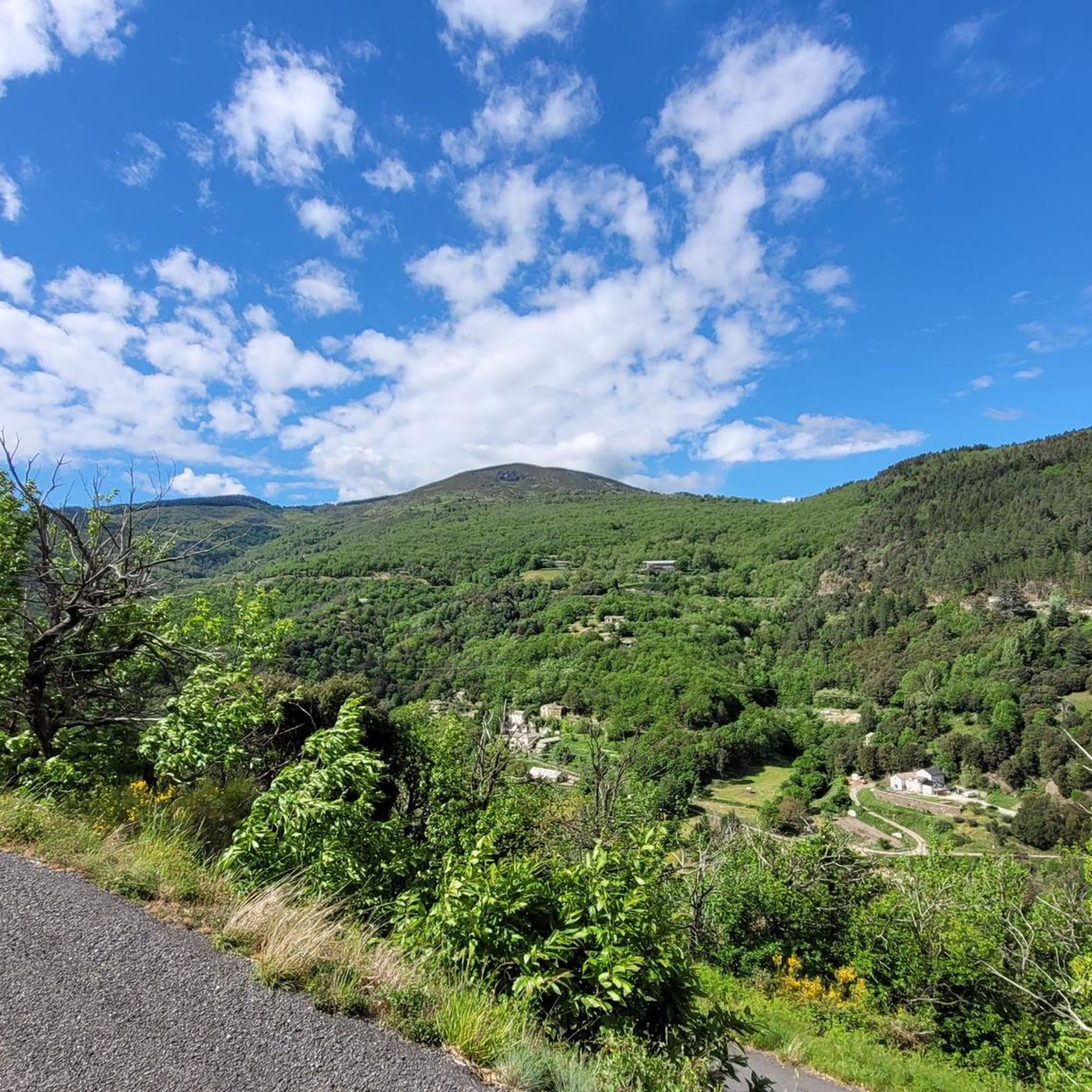
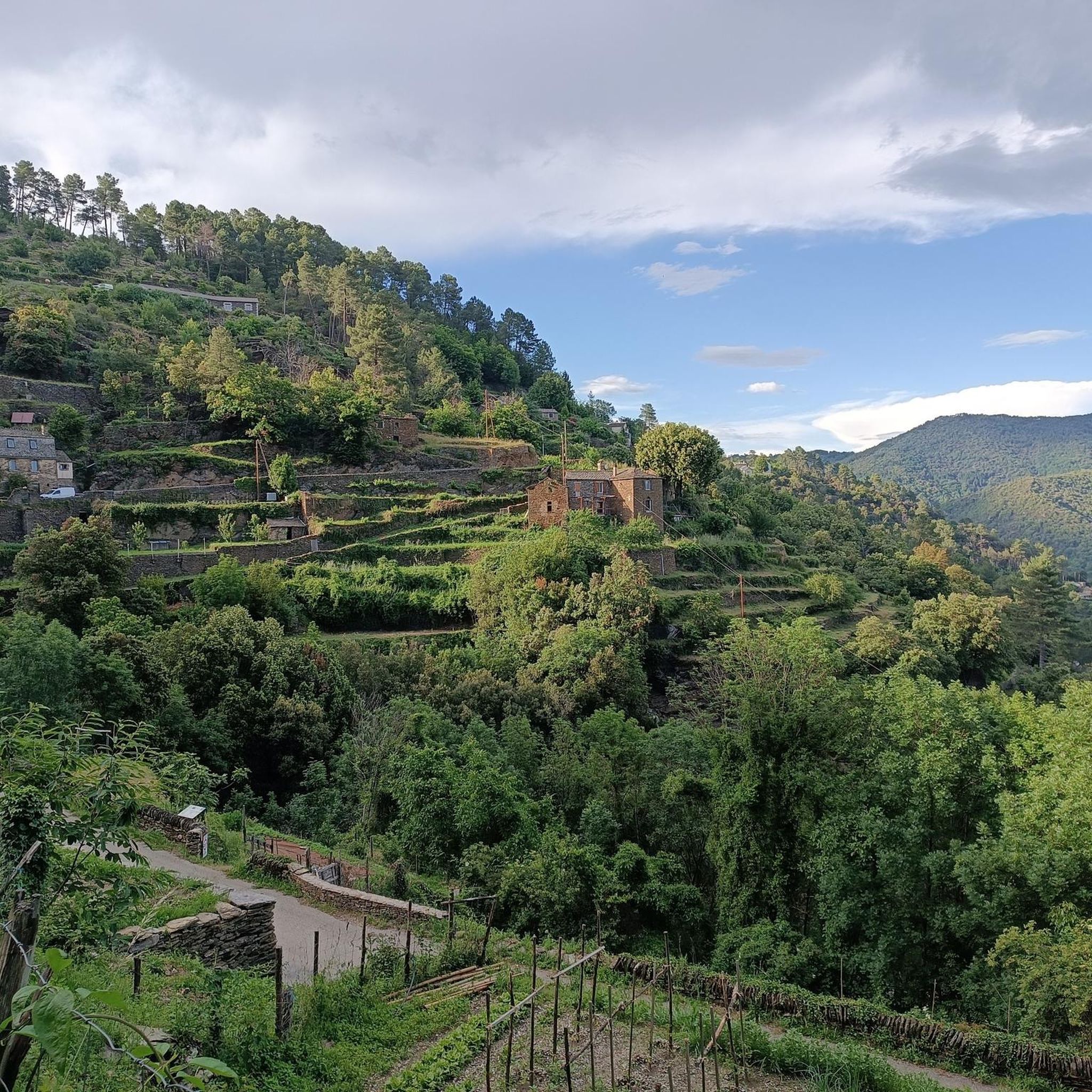
Touring cycling around Saint-Hilaire-De-Lavit offers routes within the Cévennes National Park, a UNESCO-listed natural heritage site. The region features varied topography with altitudes ranging from 333 to 927 meters, providing a dynamic terrain of valleys and crests. Cyclists can expect routes that traverse diverse landscapes, including chestnut forests and dramatic valleys. This area is characterized by its rural and peaceful environment, ideal for nature immersion.
Best touring cycling routes around Saint-Hilaire-De-Lavit
- The most popular touring cycling route is Mount Ayres…
Last updated: July 8, 2026
11
riders
28.6km
02:08
710m
710m
Hard bike ride. Very good fitness required. Mostly paved surfaces. Suitable for all skill levels.
2
riders
45.5km
03:38
1,280m
1,280m
This difficult 28.3-mile (45.5 km) touring cycling route in Cévennes National Park offers challenging climbs and varied scenery.

Sign up for free
36.5km
01:43
1,020m
1,020m
This difficult 22.7-mile touring cycling route in Cévennes National Park features 3353 feet of elevation gain and takes around 1 hour 42 min
5
riders
76.9km
06:20
1,440m
1,440m
Hard bike ride. Very good fitness required. Mostly paved surfaces. Suitable for all skill levels.
4.0
(1)
5
riders
33.8km
02:46
1,020m
1,020m
Hard bike ride. Very good fitness required. Mostly paved surfaces. Suitable for all skill levels.
Get access to more routes and recommendations from other explorers.
Sign up for free
Already have an account?
Our route recommendations are based on thousands of hikes, rides, and runs completed by other people on komoot.
Start today with a free account
Your next adventure awaits.
Login or Signup
Tips from the Community

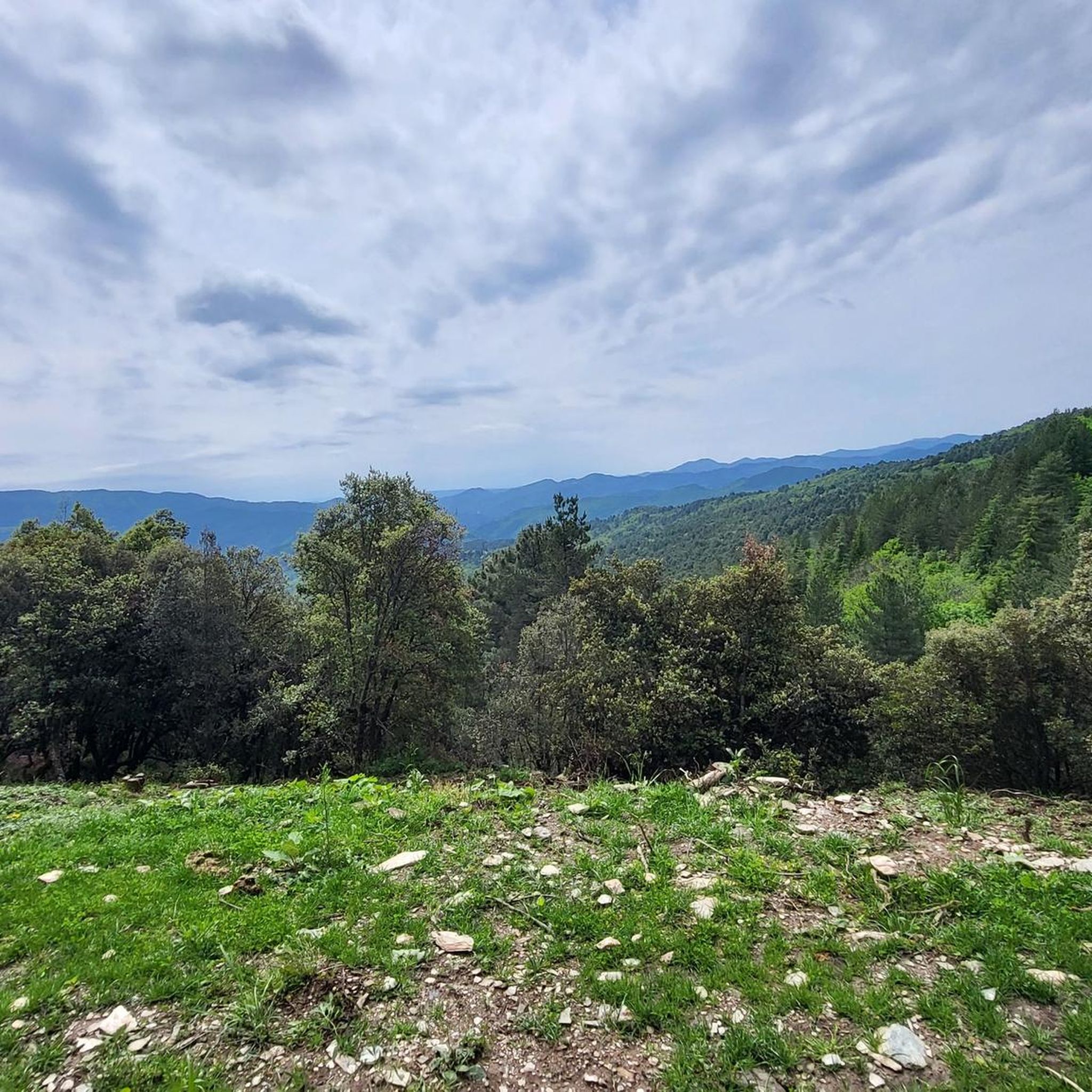
The Col du Sapet overlooks the heart of the Cévennes National Park at an altitude of 1,080 meters. It is located on Mont du Bougès and serves as a starting point for numerous hiking trails. This pass is also particularly popular with local cyclists, with its 450-meter elevation gain and views of the Cévennes Mountains.
0
0


Start of the Cévennes greenway. Section set up from Florac on the old railway line). Rocky parts in places but magnificent view (small gorges, tunnel, bridge)
1
0

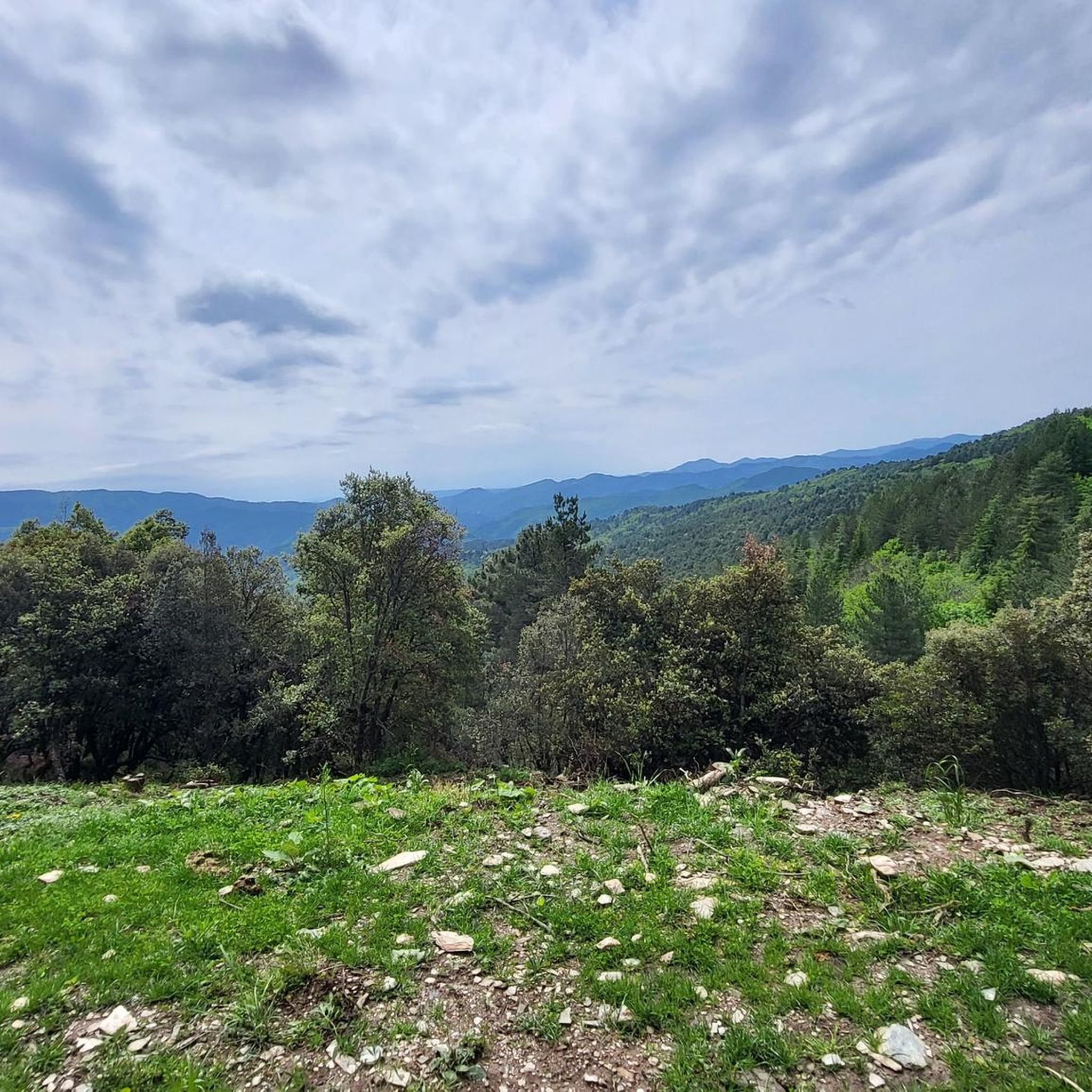
From the Prentigarde pass, perched at an altitude of 795 meters, you can admire the wooded landscape of the Cévennes. That's wonderful !
0
0

Florac-Trois-Rivières is a small rural commune perched on the slopes of the Causse Méjean, at the confluence of the Tarn, Tarnon, and Mimente rivers. With a population of 2,000, it's a must-see for nature and heritage enthusiasts. Ideal for a short break or a longer stay, it offers a wide range of restaurants and accommodations. For your information, the market takes place in the town every Thursday morning from 8 a.m. to 1 p.m.
0
0

Frequently Asked Questions
What is the general difficulty level of touring cycling routes around Saint-Hilaire-De-Lavit?
The touring cycling routes around Saint-Hilaire-De-Lavit are predominantly challenging, with 40 out of 49 routes rated as difficult. There are also 9 moderate routes, but no easy options, reflecting the region's dynamic topography within the Cévennes National Park.
Are there any circular touring cycling routes in the area?
Yes, several touring cycling routes around Saint-Hilaire-De-Lavit are designed as loops. For example, you can explore the Town of Florac Trois-Rivières – Florac loop from Jalcreste, which offers a substantial ride through the varied landscapes. Another option is the View of Mont Ventoux – La Planche loop from Saint-Frézal-de-Ventalon.
What kind of terrain can I expect on touring cycling routes near Saint-Hilaire-De-Lavit?
The terrain around Saint-Hilaire-De-Lavit is highly varied, with altitudes ranging from 333 to 927 meters. Cyclists can expect dynamic routes that traverse valleys and ascend crests, offering both challenging climbs and rewarding descents through chestnut forests and dramatic valleys within the Cévennes National Park.
What are some notable natural attractions or viewpoints along the touring cycling routes?
The region offers several impressive natural features and viewpoints. You can find panoramic vistas at Le Montadou or along the Route des Crêtes – Panoramic View in Parc National des Cévennes. Mountain passes like the Col de la Croix de Berthel and Col des Abeilles also offer scenic spots.
Are there any historical or cultural landmarks to see while cycling?
Yes, you can encounter several interesting landmarks. Consider visiting the Saint-Germain-de-Calberte War Memorial and Tribute to the Cévenols, or the historic Saint Stephen's Church. The Old Gardon Canal also offers a glimpse into the region's past.
What do other touring cyclists say about the routes in Saint-Hilaire-De-Lavit?
The touring cycling routes around Saint-Hilaire-De-Lavit are highly regarded by the komoot community, with an average rating of 4.7 stars from over 60 reviews. Cyclists often praise the immersive natural environment and the challenging yet rewarding terrain within the Cévennes National Park.
How many touring cycling routes are available in Saint-Hilaire-De-Lavit?
There are nearly 50 touring cycling routes available around Saint-Hilaire-De-Lavit on komoot. These routes offer diverse experiences through the Cévennes National Park, catering primarily to moderate and difficult skill levels.
Can I find long-distance touring cycling routes in this region?
Yes, the area offers several longer touring cycling routes. For instance, the Tour of the Haute Vallée Longue is a difficult 45.5 km path, and the Town of Florac Trois-Rivières – Florac loop from Jalcreste extends to nearly 77 km, providing substantial rides for experienced cyclists.
What makes Saint-Hilaire-De-Lavit a good destination for touring cycling?
Saint-Hilaire-De-Lavit is an excellent touring cycling destination due to its location within the Cévennes National Park, offering varied and unspoiled landscapes. The region provides a tranquil, rural environment with a rich ecosystem, dynamic topography, and an extensive network of routes, ideal for nature immersion and challenging rides.
Are there any routes that offer views of the Cévennes National Park?
Absolutely. Many routes traverse the Cévennes National Park, providing stunning views. The Mount Ayres via Saint-Germain-de-Calberte – Cévennes National Park route, for example, offers significant elevation gain through the varied landscapes of the park, ensuring panoramic vistas.
What is the best time of year for touring cycling in Saint-Hilaire-De-Lavit?
Given the varied topography and the region's natural beauty, spring and autumn generally offer the most pleasant conditions for touring cycling in Saint-Hilaire-De-Lavit. Temperatures are milder, and the landscapes are vibrant with seasonal colors. Summer can be warm, especially in the valleys, but still enjoyable for early morning or late afternoon rides.
Most popular attractions around Saint-Hilaire-De-Lavit

Get inspired with the komoot mobile app


Explore more
Browse the best Cycling routes in other regions.
