The best road cycling routes around Saint-Hilaire-De-Lavit
4.6
(48)
1,009
riders
35
rides
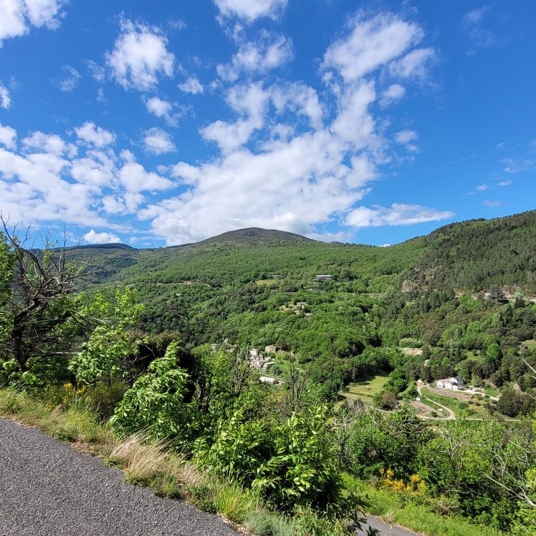
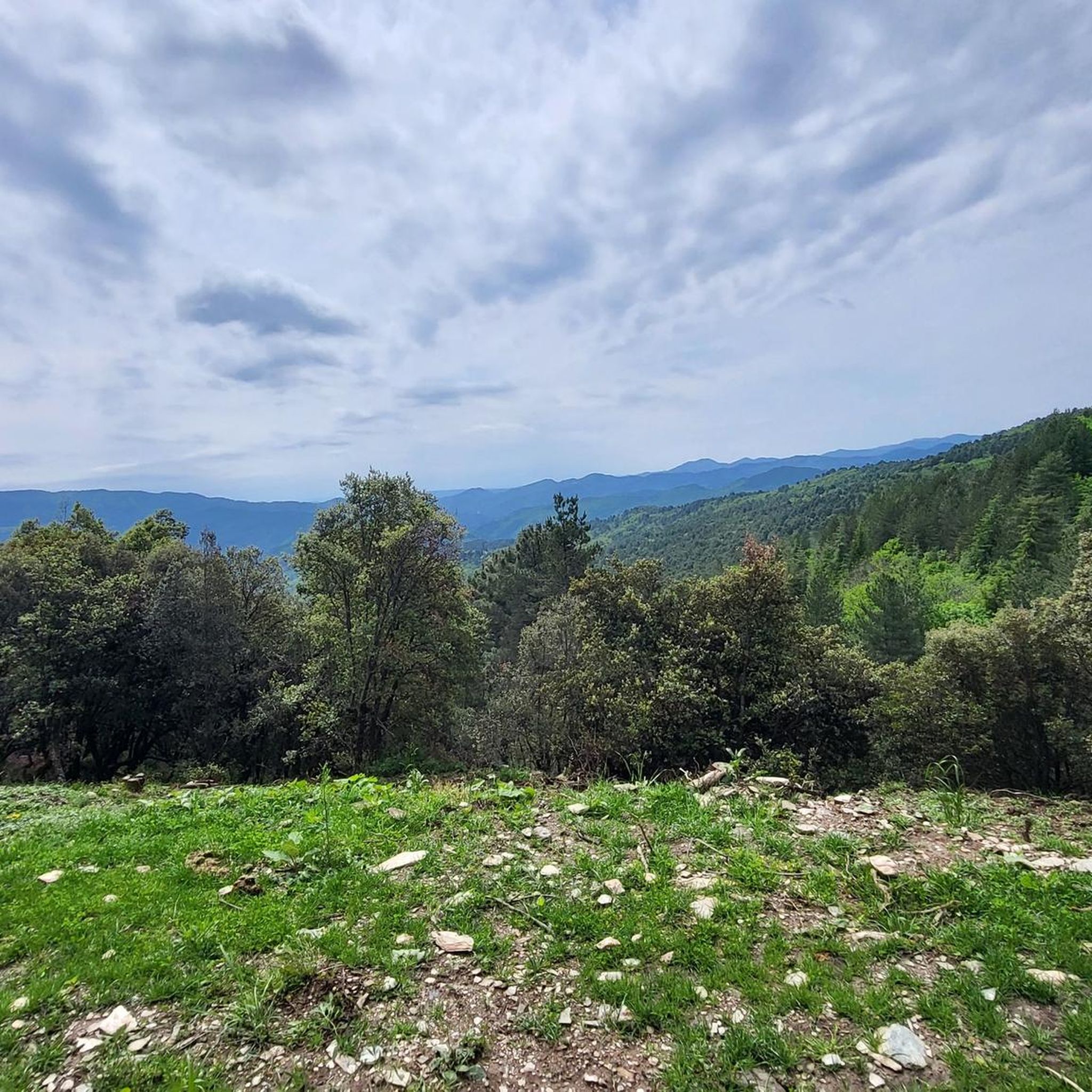
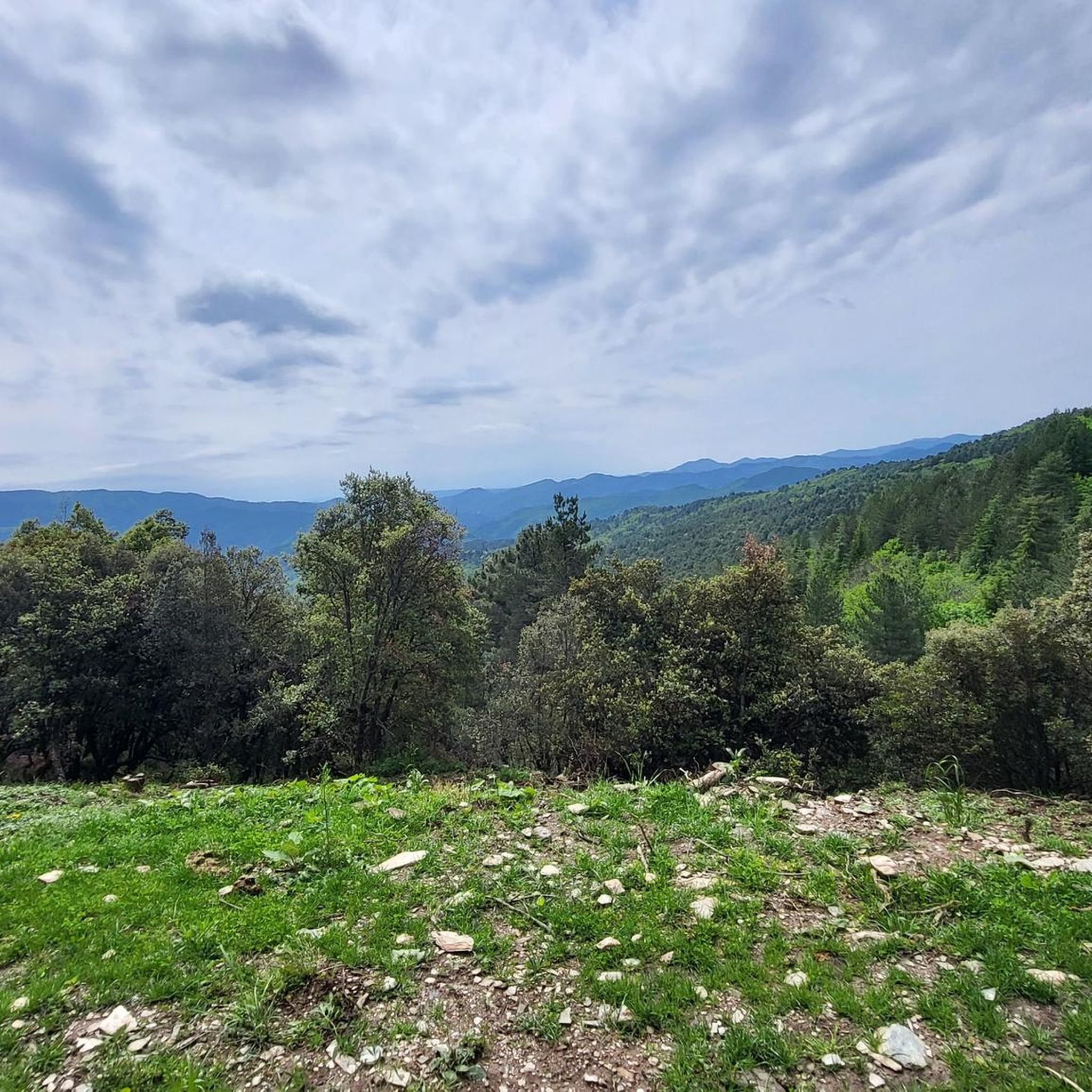
Road cycling routes around Saint-Hilaire-De-Lavit are set within the Lozère department, offering access to the varied terrain of the Cévennes and Ardèche regions. The area features numerous passes with winding lanes, providing challenging climbs and rewarding descents. Cyclists encounter a landscape composed of open moorland, dramatic gorges, and ancient forests, with roads often hugging cliffs and following rivers. This diverse environment provides a range of road cycling experiences.
Best road cycling routes around Saint-Hilaire-De-Lavit
- The most popular road cycling route…
Last updated: July 13, 2026
5.0
(2)
49
riders
66.7km
03:20
1,050m
1,050m
Hard road ride. Very good fitness required. Mostly well-paved surfaces and easy to ride.
5.0
(1)
21
riders
75.7km
04:15
1,490m
1,490m
Hard road ride. Very good fitness required. Some segments of this route may be unpaved and difficult to ride.

Sign up for free
16
riders
165km
08:57
3,380m
3,380m
Hard road ride. Very good fitness required. Some segments of this route may be unpaved and difficult to ride.
25
riders
88.7km
04:43
1,690m
1,690m
Hard road ride. Very good fitness required. Mostly well-paved surfaces and easy to ride.
31
riders
69.4km
03:43
1,130m
1,130m
Hard road ride. Very good fitness required. Mostly well-paved surfaces and easy to ride.
Get access to more routes and recommendations from other explorers.
Sign up for free
Already have an account?
Our route recommendations are based on thousands of hikes, rides, and runs completed by other people on komoot.
Start today with a free account
Your next adventure awaits.
Login or Signup
Tips from the Community

This metal bridge spans the Galeizon river, known for the quality of its waters, suitable for swimming.
0
0

The Col du Sapet overlooks the heart of the Cévennes National Park at an altitude of 1,080 meters. It is located on Mont du Bougès and serves as a starting point for numerous hiking trails. This pass is also particularly popular with local cyclists, with its 450-meter elevation gain and views of the Cévennes Mountains.
0
0

magnificent view. Moderate difficulty. Beware of high heat.
0
0

Lovely climb to warm up after a long day in the saddle
0
0


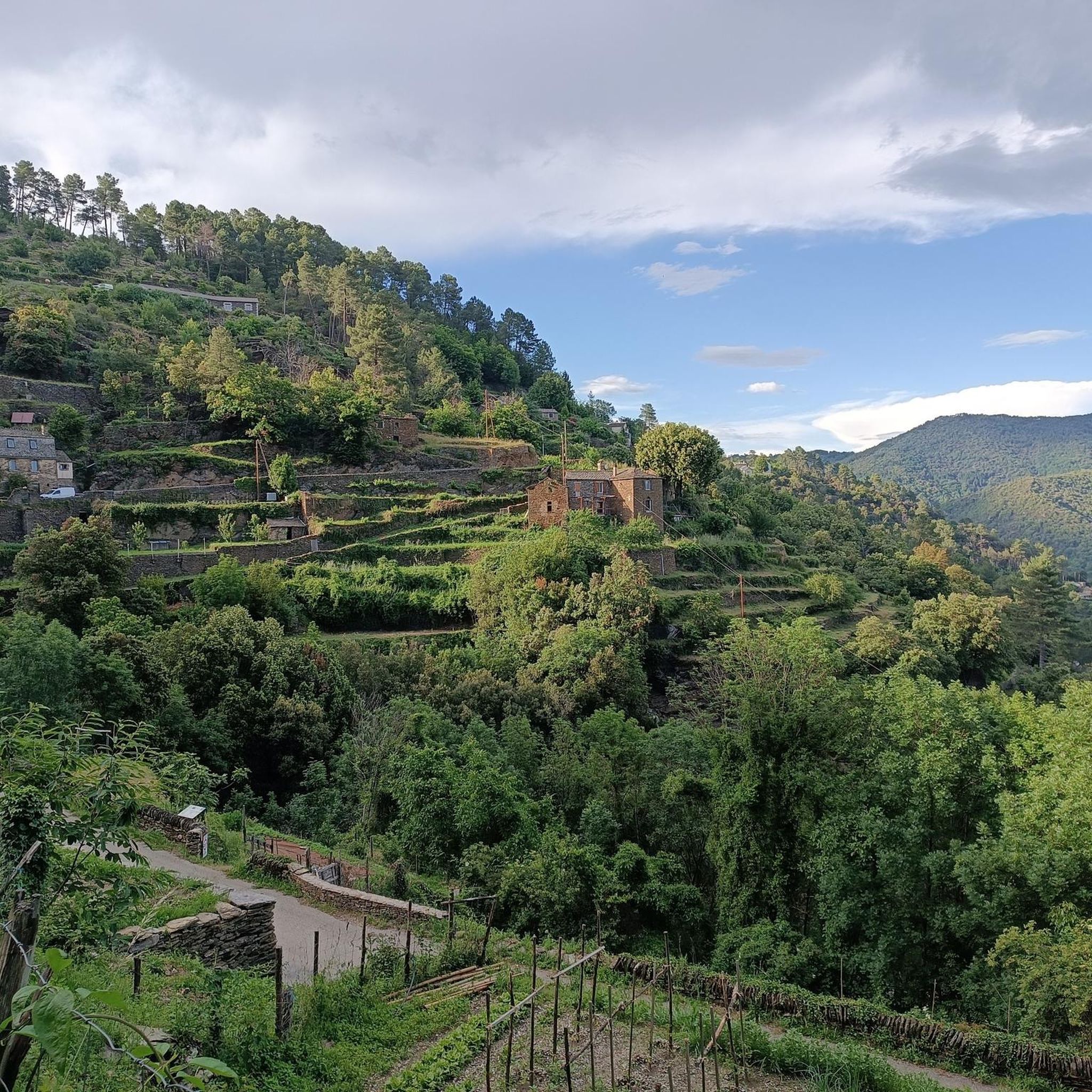
Beautiful village, located on the Tharn. Possible stop on the Stevenson Trail and the GR7
5
0
Frequently Asked Questions
What kind of terrain can I expect on road cycling routes around Saint-Hilaire-De-Lavit?
The region offers a diverse and challenging terrain for road cyclists. You'll encounter numerous passes with winding lanes, providing significant climbs and rewarding descents. The landscape features open moorland, dramatic gorges like the Gorges de l'Ardèche and Gorges du Tarn, and ancient forests. Roads often hug cliffs and follow sparkling rivers, especially in areas like the Chassezac River valley. Expect a mix of gradients, with many routes featuring substantial elevation gains.
Are there any easy or family-friendly road cycling options near Saint-Hilaire-De-Lavit?
While many routes around Saint-Hilaire-De-Lavit are challenging, the broader Ardèche region offers more accessible options. The Via Ardèche is a 53 km cycling and pedestrian path built on former railway lines, offering a safe and mostly flat route ideal for families. Similarly, the Dolce Via provides a gentle 90 km greenway through the wild Ardèche, suitable for various fitness levels.
What are some notable natural features or viewpoints I can experience on a road bike?
Road cycling in this area provides access to stunning natural features and panoramic views. You can ride through the dramatic Gorges de l'Ardèche, Gorges du Tarn, and Gorges du Chassezac. Routes like the Corniche des Cévennes offer sweeping views over valleys and mountains. The summit of Mont Aigoual, accessible from the region, provides expansive vistas, and the Cirque de Navacelles also presents a staggering sight. You might also pass by the Col de la Croix de Berthel or enjoy the Route des Crêtes – Panoramic View in Parc National des Cévennes.
How many road cycling routes are available around Saint-Hilaire-De-Lavit?
There are over 25 road cycling routes available around Saint-Hilaire-De-Lavit, catering to various skill levels. These include 10 moderate routes and 19 difficult routes, ensuring options for both experienced cyclists and those looking for a significant challenge.
What is the best time of year for road cycling in Saint-Hilaire-De-Lavit?
The region benefits from a favorable climate, making spring and autumn ideal for road cycling. During these seasons, temperatures are pleasant, and the natural scenery is at its most vibrant. Summer can also be suitable, but it's advisable to start rides early to avoid the midday heat, especially on longer climbs.
Are there any interesting historical or cultural landmarks along the road cycling routes?
Yes, the region is rich in history and culture. As you cycle, you can discover unspoilt mountain villages like Le Pont de Montvert and Florac. You might also pass by the Saint-Germain-de-Calberte War Memorial, the historic Saint Stephen's Church, or the remnants of the Old Gardon Canal. The Menhir at the Col de la Pierre Plantée is another unique point of interest.
What is the difficulty level of road cycling routes in this area?
Road cycling around Saint-Hilaire-De-Lavit is generally considered challenging. The majority of routes are classified as 'difficult' (19 out of 29), featuring substantial elevation gains and mountainous terrain. There are also 'moderate' options (10 out of 29) for those seeking a less intense ride, but even these will involve some climbing.
What do other road cyclists think about the routes in Saint-Hilaire-De-Lavit?
The road cycling routes in Saint-Hilaire-De-Lavit are highly rated by the komoot community, with an average score of 4.6 stars from more than 20 reviews. Cyclists often praise the varied terrain, the stunning natural beauty of the Cévennes and Ardèche, and the challenging climbs that offer rewarding views.
Can I find accommodation that caters to cyclists in the Saint-Hilaire-De-Lavit area?
Yes, the broader Cévennes and Ardèche regions, including areas accessible from Saint-Hilaire-De-Lavit, are known for their strong cycling culture. Many accommodations specifically cater to cyclists, offering services such as secure bike storage, repair facilities, and sometimes even specialized tour packages. It's advisable to check with individual establishments when booking.
Are there any circular road cycling routes available?
Yes, many of the road cycling routes around Saint-Hilaire-De-Lavit are designed as loops. For instance, the Baraque Pass (631 m) – Climb of the Croix des Vents loop from Saint-Hilaire-de-Lavit and the Le Pont-de-Montvert – Sapet Pass loop from Saint-Hilaire-de-Lavit are popular circular options, allowing you to start and finish in the same location.
What is the longest road cycling route I can find near Saint-Hilaire-De-Lavit?
One of the longer and more challenging routes is the Le Pont-de-Montvert – Sapet Pass loop from Saint-Hilaire-de-Lavit. This difficult path spans approximately 75.7 km (47.0 miles) and includes substantial climbing through the region's diverse natural features.
Is public transport an option for accessing cycling routes around Saint-Hilaire-De-Lavit?
Saint-Hilaire-De-Lavit is a small village, and direct public transport options for cyclists with bikes might be limited. While the region is well-suited for cycling, it's generally recommended to arrive by car to access the starting points of many routes, especially those in more remote mountainous areas. Always check local transport schedules and bike carriage policies in advance if planning to use public transport.
Where can I park my car when going road cycling in Saint-Hilaire-De-Lavit?
As Saint-Hilaire-De-Lavit is a small village and a base for outdoor activities, you can typically find parking in or near the village center. For specific routes starting from other points, such as Le Collet-de-Dèze or La Combe de Ferriere, there are usually designated parking areas available for visitors. Always look for official parking signs or consult local information upon arrival.
Most popular attractions around Saint-Hilaire-De-Lavit

Get inspired with the komoot mobile app


Explore more
Browse the best Road cycling routes in other regions.
