The best walks and hikes around Farbus
4.5
(1305)
10,635
hikers
377
hikes
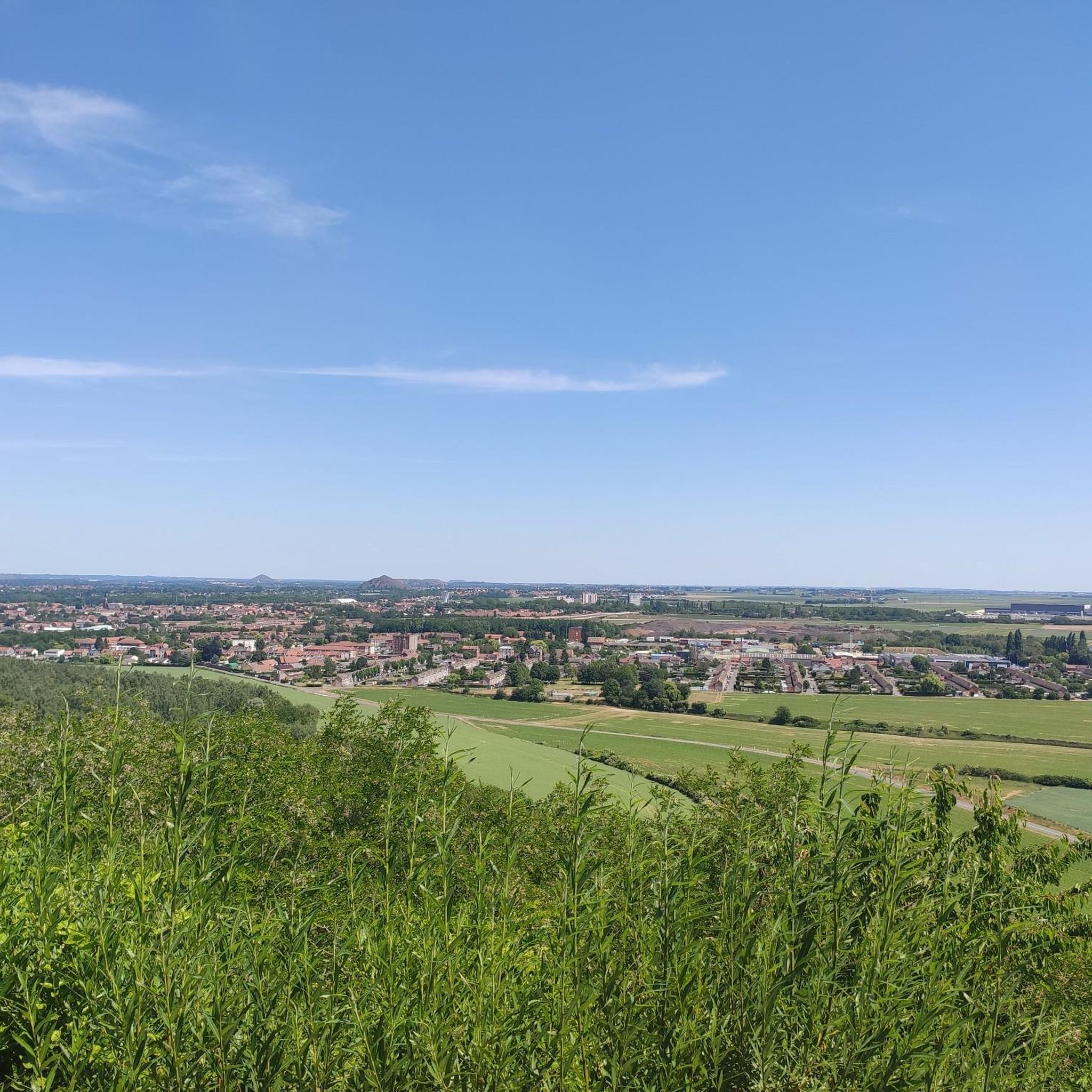
Hiking around Farbus offers access to the varied landscapes of the Pas-de-Calais department in the Hauts-de-France region. The terrain transitions from the Gohelle plain to the edges of the Artois plateau, characterized by open countryside, fields, and gentle hillsides. While Farbus itself is a small village, its location provides a starting point for exploring the broader regional features. The area around Farbus is primarily defined by its rural character and historical significance.
Best hiking trails around Farbus
- The most popular…
Last updated: October 12, 2026
4.9
(44)
64
hikers
11.4km
03:02
110m
110m
Moderate hike. Good fitness required. Easily-accessible paths. Suitable for all skill levels.
5.0
(2)
15
hikers
9.46km
02:37
170m
170m
Moderate hike. Good fitness required. Easily-accessible paths. Suitable for all skill levels.

5.0
(2)
14
hikers
4.74km
01:17
70m
70m
Easy hike. Great for any fitness level. Easily-accessible paths. Suitable for all skill levels.
5.0
(2)
18
hikers
6.99km
01:52
80m
80m
Easy hike. Great for any fitness level. Easily-accessible paths. Suitable for all skill levels.
4.8
(9)
26
hikers
10.0km
02:35
50m
50m
Moderate hike. Good fitness required. Easily-accessible paths. Suitable for all skill levels.
Get access to more routes and recommendations from other explorers.
Already have an account?
Our route recommendations are based on thousands of hikes, rides, and runs completed by other people on komoot.
Start today with a free account
Your next adventure awaits.


Tips from the Community

Superb site to honor all the victims of history.
0
0
A part of the Vimy Ridge site that must absolutely be visited in its entirety.
0
0
Super memorial of Arras. It's worth the detour.
0
0
One of the two splendid memorials of Arras.
0
0
A memorial that should not be missed
0
0
Splendid memorial. It is worth the detour, to the point of meeting many Canadians.
0
0

I me too me too me too me too o too too too too i too me too me too me too ii i oiiii i i i i i i i i i i i i i i i i i i okro89&88&&@8889&88889@w😢i i i.f5fi🙂🌞🤔
0
0

The Battle of Vimy Ridge (April 9-12, 1917) This is one of the most famous battles for Canadians during the First World War. Vimy Ridge was a strategic position fortified by the Germans since 1914. In April 1917, the four Canadian divisions, united for the first time, attacked to retake it. - 💥 The bombardments that created the shell holes Before the assault For several weeks, Allied artillery (mainly British and Canadian) bombarded the German positions to weaken the defenses, cut the barbed wire, and destroy the enemy trenches. It is estimated that more than a million shells were fired in preparation for the attack. During the attack On April 9, 1917, the Canadian infantry advanced under a creeping barrage, that is, artillery fire that advanced just ahead of the soldiers to protect their advance. Result These intense bombardments literally riddled the ridge with craters. Each shell exploding in the ground dug a hole of varying width (depending on the caliber, often between 1 and 5 meters in diameter). 🏞 After the War Why are the shell holes still there? After 1918, it was decided to preserve certain areas as they were, particularly around the future memorial, to demonstrate the scale of the fighting. The land was therefore not leveled or cultivated, unlike other areas of the front, which reverted to agricultural fields. A Landscape for Remembrance The shell craters, reconstructed trenches, and replanted trees (each tree represents a killed Canadian soldier) create a living memorial park, keeping the scars of the conflict visible for future generations.
0
0
Frequently Asked Questions
How many hiking trails are available around Farbus?
There are over 340 hiking routes available around Farbus, catering to various preferences and skill levels. This includes a mix of easy, moderate, and some more challenging trails across the region.
What is the typical terrain like for hiking near Farbus?
The terrain around Farbus transitions from the Gohelle plain to the edges of the Artois plateau. You can expect open countryside, expansive fields, and gentle hillsides. Some routes also lead through wooded areas, offering a diverse landscape for exploration.
Are there any family-friendly hiking options in the Farbus area?
Yes, the Farbus area offers numerous family-friendly hiking options. Many trails feature gentle gradients and shorter distances, making them suitable for hikers of all ages. For example, the Canadian Memorial loop from Vimy is an easy 6.9 km route that can be enjoyed with children.
Can I hike with my dog on trails near Farbus?
Many trails around Farbus are suitable for hiking with dogs, especially those that traverse open fields and rural paths. It's always recommended to keep dogs on a leash, particularly near historical sites or agricultural areas, and to check local regulations for specific trails. The general countryside is welcoming to well-behaved dogs.
What historical landmarks or natural features can I see while hiking around Farbus?
The Farbus area is rich in historical significance and natural beauty. You can encounter sites like the Canadian National Vimy Memorial and the Notre-Dame-de-Lorette National Cemetery. Natural features include various marshes such as Marais de Maroeuil and Marais de la Galance, offering peaceful natural environments.
Are there circular hiking routes available near Farbus?
Yes, many of the hiking routes around Farbus are circular, allowing you to start and end at the same point. An example is the Moroccan monument – Canadian Memorial loop from Vimy, which is a 8.1 km circular trail.
Where can I park when hiking near Farbus?
Parking is generally available near popular trailheads and historical sites in the Farbus area, such as around the Canadian National Vimy Memorial. In Farbus village itself, you can often find parking near the church, which is the starting point for local routes like "Le chemin de Saint Ranulphe."
What is the best time of year to go hiking in the Farbus region?
The Farbus region is enjoyable for hiking throughout much of the year. Spring and autumn offer pleasant temperatures and vibrant landscapes with wildflowers or changing foliage. Summer is also suitable, though it can be warmer, while winter hikes are possible, especially on clear days, to experience the quiet countryside.
What do other hikers enjoy most about hiking in Farbus?
The hiking trails around Farbus are highly rated by the komoot community, with an average score of 4.5 stars from over 900 reviews. Hikers often praise the area for its historical significance, the peaceful rural character, and the well-maintained paths that offer a mix of open fields and wooded sections.
Are there any longer, more challenging hikes available for experienced hikers?
While many routes are easy to moderate, the region does offer some longer trails that provide more of a challenge. For instance, the Canadian Memorial – Moroccan monument loop from Vimy is a moderate 9.4 km trail with a notable elevation gain, offering a more extended experience for those seeking it.
Is there a specific local trail in Farbus village?
Yes, Farbus features a specific local hiking path called "Le chemin de Saint Ranulphe - Farbus." This 7.9 km circuit starts from the church of Farbus and guides hikers from the limits of the Gohelle plain to the edges of the Artois plateau, showcasing the local landscape.
Most popular attractions around Farbus

Get inspired with the komoot mobile app


Explore more
Browse the best Hikes in other regions.
