The best running trails around Sennecey-Le-Grand
4.4
(19)
644
runners
21
runs
Jogging around Sennecey-Le-Grand offers a variety of paths through the region's diverse countryside. The landscape features rolling terrain, with routes often leading to scenic viewpoints and through natural areas like the Théâtre de Verdure. Elevation changes are present, ranging from gentle slopes to more challenging ascents, providing options for different fitness levels. The area's running routes explore both open spaces and wooded sections, characteristic of the French rural landscape.
Best jogging routes around Sennecey-Le-Grand
- The most popular jogging route is…
Last updated: June 22, 2026
9
runners
13.9km
01:52
450m
450m
Hard run. Very good fitness required. Mostly paved surfaces. Suitable for all skill levels.
9
runners
6.64km
00:44
50m
50m
Moderate run. Good fitness required. Mostly paved surfaces. Suitable for all skill levels.

Sign up for free
3.5
(2)
9
runners
23.4km
03:06
740m
740m
Hard run. Very good fitness required. Mostly paved surfaces. Suitable for all skill levels.
8
runners
11.6km
01:14
140m
140m
Moderate run. Good fitness required. Mostly paved surfaces. Suitable for all skill levels.
9
runners
12.0km
01:30
300m
300m
Moderate run. Good fitness required. Mostly paved surfaces. Suitable for all skill levels.
Get access to more routes and recommendations from other explorers.
Sign up for free
Already have an account?
Our route recommendations are based on thousands of hikes, rides, and runs completed by other people on komoot.
Start today with a free account
Your next adventure awaits.
Login or Signup

Tips from the Community

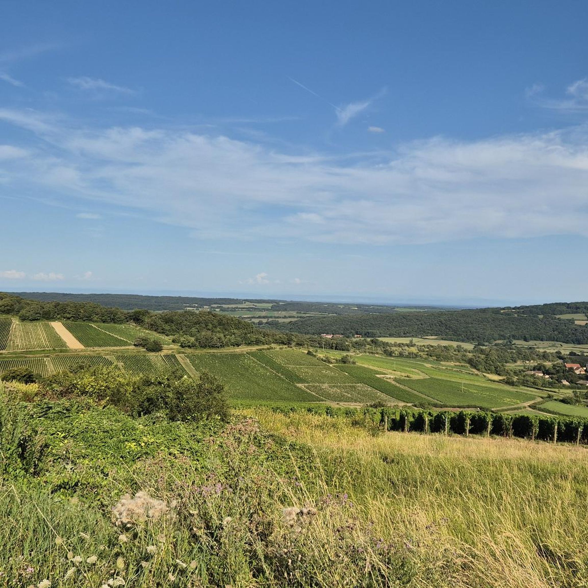
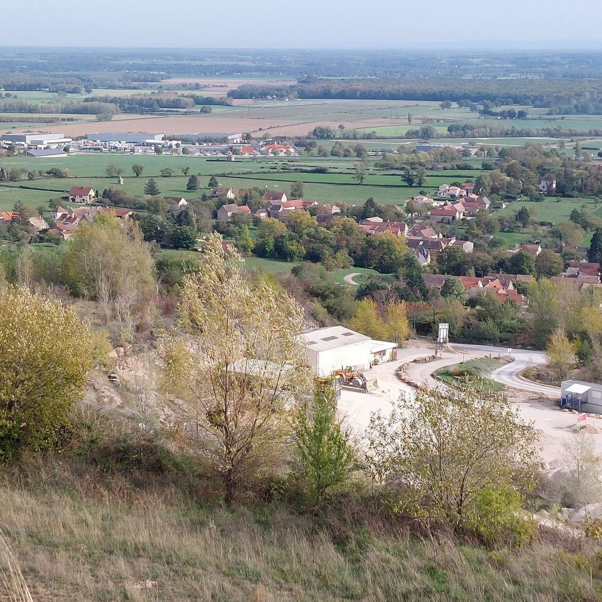
Saint-Martin-de-Laives designates the former name of the municipality of Laives, abandoned in 1793 in the revolutionary context. The name still exists today through the church of Saint-Martin-de-Laives. From the top of the hill, you can enjoy two splendid viewpoints: one over the Saône valley and the town of Sennecey, the other over the Grosne valley.
1
0

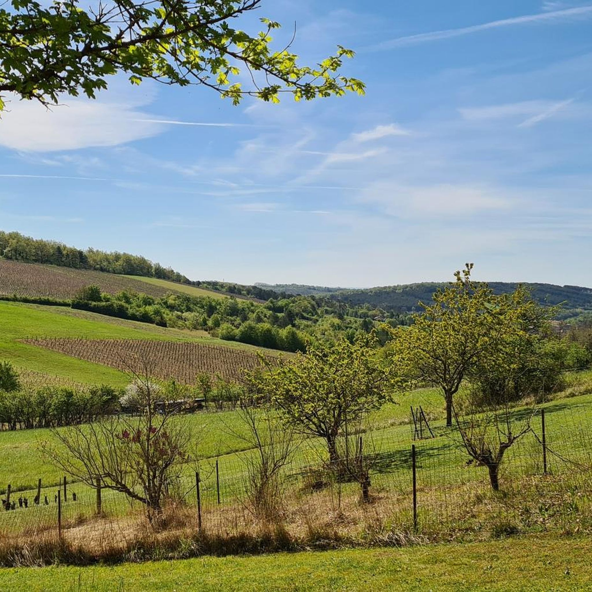
The classic ascent from Mancey is considered a tough short climb in Category 3. Over a distance of 2.2 kilometers, 166 meters of altitude must be overcome. The average gradient is 7.55%, with peak sections of up to 14%. The path junction leads to various hiking trails and gravel paths through the wooded and wine-rich hilly landscape of the Mâconnais.
0
0
The pass is located on Rue des Maquisards in the municipality of Nanton. It is a popular destination for cycling tours. The ascent from the municipality of Mancey covers a distance of 2.2 kilometers. Cyclists overcome 166 meters of altitude on this tough route with an average gradient of 7.55%. The surrounding area also offers a versatile network of trails for easy to medium-difficulty hikes through rolling hills, mixed forests, and to nearby viewpoints such as Roche d'Aujou.
0
0


Agree wholeheartedly with Benoit - ascended via Mancey a couple of day's ago. Not the longest hill I've climbed, but still glad to get to the top!
0
0

Very interesting pass for working on cardio. The ascent via Mancey is much more difficult than via Corlay. The mountain bike trails are also very nice! 😊
3
1

The Col de Navois from Mancey is 2.2 km long with a total drop of 166 m. The average gradient is 7.55% with maximum gradients of 14%.
2
0
Frequently Asked Questions
How many running routes are available around Sennecey-Le-Grand?
There are over 20 dedicated running routes around Sennecey-Le-Grand, offering a wide variety of distances and difficulty levels to suit different preferences and fitness levels.
Are there any easy jogging paths suitable for beginners in Sennecey-Le-Grand?
Yes, while many routes feature rolling terrain, there are options for beginners. The Running loop from Sennecey-le-Grand is a moderate 4.1-mile (6.6 km) trail with minimal elevation gain, making it a good choice for those starting out or looking for a less strenuous run.
What kind of terrain can I expect on the running trails in Sennecey-Le-Grand?
The running trails in Sennecey-Le-Grand are characterized by rolling hills, offering a mix of open spaces and wooded sections. You'll encounter varied terrain, from gentle slopes to more challenging ascents, typical of the French rural landscape.
Are there any circular running routes in the area?
Yes, many of the routes around Sennecey-Le-Grand are circular, allowing you to start and finish in the same location. For example, the Col de Navois – Théâtre de Verdure loop from Sennecey-le-Grand is a popular moderate 8.4-mile (13.5 km) loop.
What are some scenic viewpoints I can reach while jogging in Sennecey-Le-Grand?
The region is known for its scenic vistas. The Théâtre de Verdure – Roche d'Aujou viewpoint loop from Sennecey-le-Grand is a challenging route that rewards runners with expansive views from the Roche d'Aujou viewpoint.
What do other runners enjoy most about jogging in Sennecey-Le-Grand?
The running routes in Sennecey-Le-Grand are highly rated by the komoot community, with an average score of 4.4 stars from over 20 reviews. Runners often praise the varied terrain, the beautiful countryside, and the options available for different ability levels.
Are there any historical or natural landmarks to see along the running routes?
While jogging, you might pass by or near several interesting points. The Col de Navois – Théâtre de Verdure loop from Sennecey-le-Grand takes you through the Théâtre de Verdure area. For other nearby attractions, consider visiting Brancion Castle or the charming village of Brancion, which are close to the region.
What is the best time of year for running in Sennecey-Le-Grand?
The region's climate makes spring and autumn particularly pleasant for running, with milder temperatures and beautiful natural scenery. Summer can also be enjoyable, especially in the mornings or evenings, though some routes offer shaded sections through wooded areas.
Are there any longer distance running routes for experienced runners?
Absolutely. For those seeking a challenge, the Théâtre de Verdure – Roche d'Aujou viewpoint loop from Sennecey-le-Grand is a difficult 17.8-mile (28.6 km) trail with significant elevation gain, perfect for experienced runners looking for a longer, more demanding workout.
Are there any routes that explore the Théâtre de Verdure area?
Yes, the Théâtre de Verdure is a notable feature in the area. The Théâtre de Verdure loop from Sennecey-le-Grand is a moderate 7.5-mile (12.1 km) route specifically designed to explore this natural area.
What is the typical duration for a moderate running route in this region?
Moderate running routes in Sennecey-Le-Grand vary in length and duration. For instance, the Viewpoint loop from Sennecey-le-Grand, which is 7.4 miles (11.9 km), typically takes around 1 hour 30 minutes to complete.
Most popular routes around Sennecey-Le-Grand
Most popular attractions around Sennecey-Le-Grand

Get inspired with the komoot mobile app


Explore more
Browse the best Running Trails & Routes in other regions.
