The best walks and hikes around Sennecey-Le-Grand
4.3
(209)
1,048
hikers
120
hikes
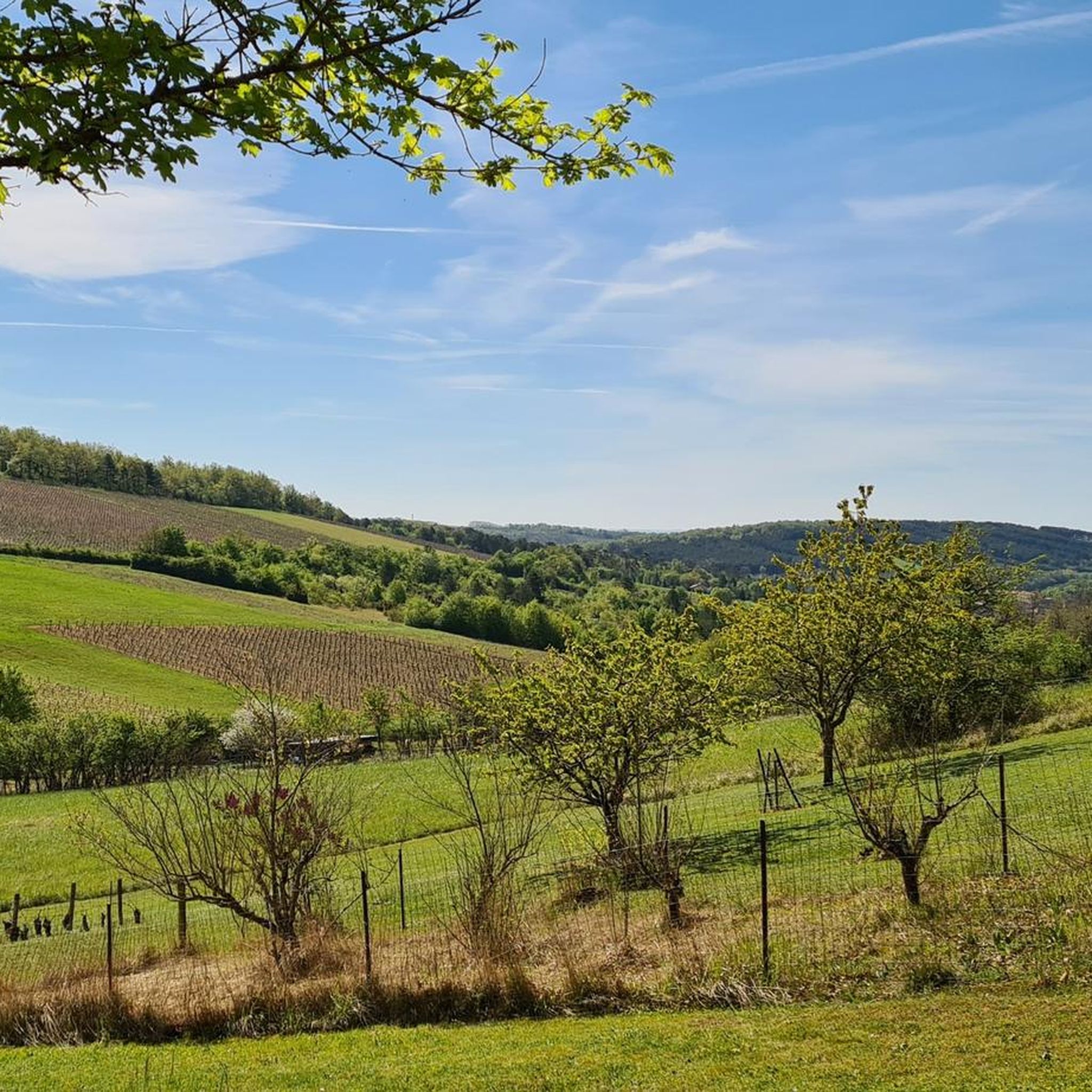
Hiking around Sennecey-Le-Grand offers diverse landscapes within the Burgundy-Franche-Comté region of France. The area features extensive forests, vineyards, and the Saône River, providing varied terrain for outdoor activities. Trails traverse plains, pastures, and lead to numerous viewpoints, showcasing the region's natural environment. This landscape includes moderate elevation changes, with some routes offering significant climbs.
Best hiking trails around Sennecey-Le-Grand
- The most popular hiking route is View of St Martin de Laives loop from Laives, an 8.2 miles (13.3 km) trail that takes 3 hours 49 minutes to complete, offering views of the surrounding countryside.
- Another top favourite among local hikers is Chapelle de l'hermitage – Théâtre de Verdure loop from Laives, a moderate 4.7 miles (7.6 km) path that traverses varied terrain including forests and open areas.
- Local hikers also love the Théâtre de Verdure – View of St Martin de Laives loop from Laives, an 11.2 miles (18.1 km) trail leading through varied landscapes, often completed in about 5 hours 10 minutes.
- Hiking around Sennecey-Le-Grand is defined by forests, vineyards, and the Saône River, with trails offering panoramic viewpoints. The network provides options for different ability levels, from easy walks to more challenging routes with significant elevation gain.
- The routes in Sennecey-Le-Grand are highly rated by the komoot community with an average score of 4.3 stars from over 190 reviews. More than 1000 hikers have used komoot to explore Sennecey-Le-Grand's varied terrain.
Last updated: June 25, 2026
5.0
(2)
30
hikers
17.6km
05:02
420m
420m
Hard hike. Very good fitness required. Easily-accessible paths. Suitable for all skill levels.
4.3
(3)
24
hikers
13.2km
03:48
330m
330m
Moderate hike. Good fitness required. Easily-accessible paths. Suitable for all skill levels.

Sign up for free
5.0
(5)
18
hikers
7.63km
02:11
180m
180m
Moderate hike. Good fitness required. Easily-accessible paths. Suitable for all skill levels.
5.0
(1)
17
hikers
22.1km
06:21
540m
540m
Hard hike. Very good fitness required. Easily-accessible paths. Suitable for all skill levels.
4.5
(2)
11
hikers
9.86km
02:51
250m
260m
Moderate hike. Good fitness required. Easily-accessible paths. Suitable for all skill levels.
Get access to more routes and recommendations from other explorers.
Sign up for free
Already have an account?
Our route recommendations are based on thousands of hikes, rides, and runs completed by other people on komoot.
Start today with a free account
Your next adventure awaits.
Login or Signup


Tips from the Community

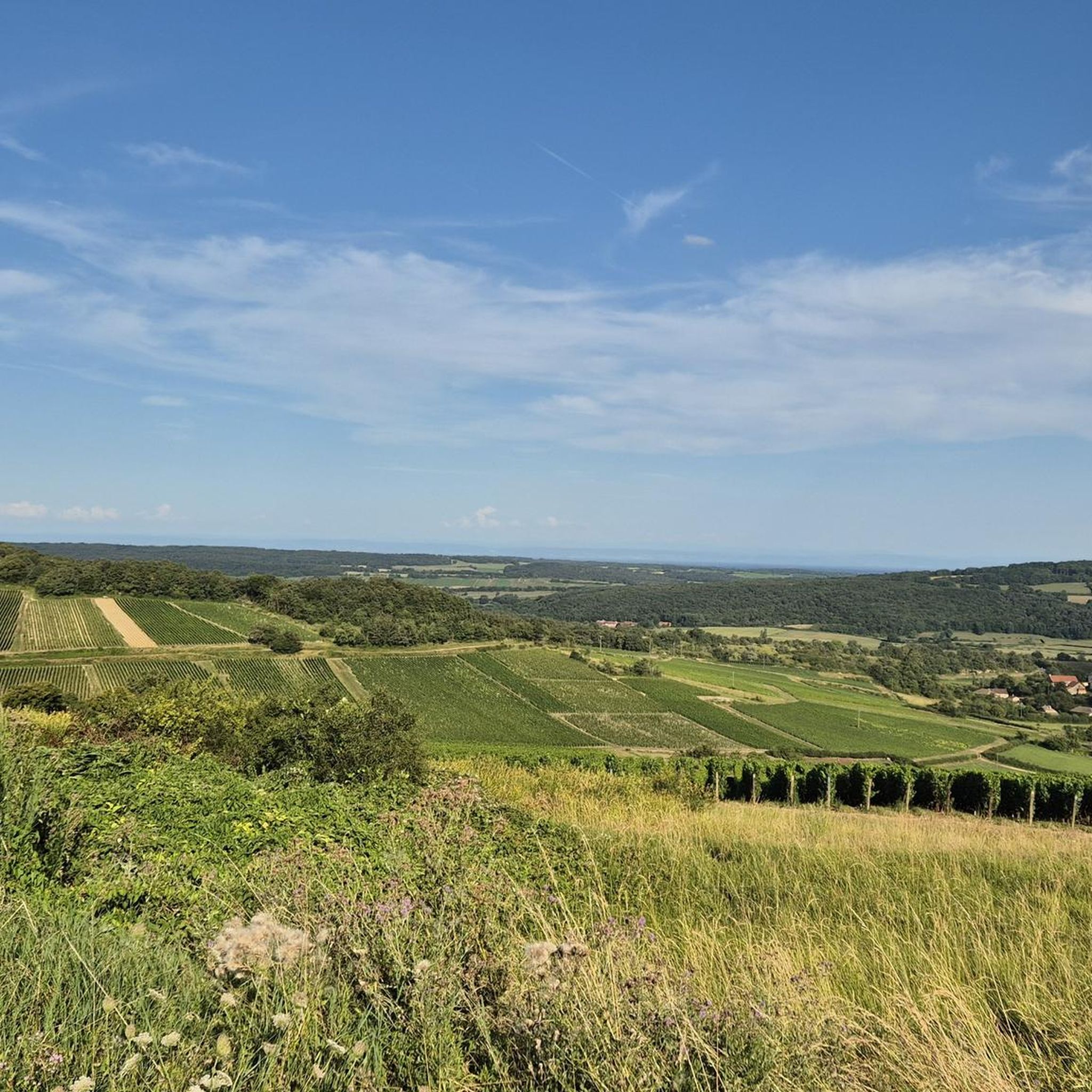
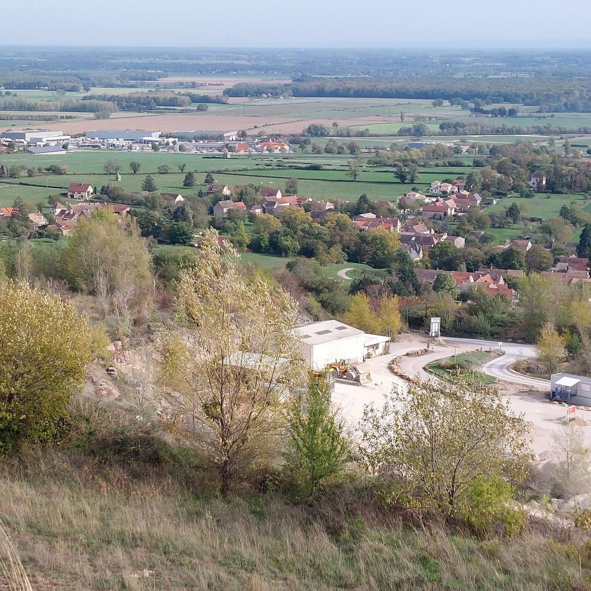
Saint-Martin-de-Laives designates the former name of the municipality of Laives, abandoned in 1793 in the revolutionary context. The name still exists today through the church of Saint-Martin-de-Laives. From the top of the hill, you can enjoy two splendid viewpoints: one over the Saône valley and the town of Sennecey, the other over the Grosne valley.
1
0
In the Middle Ages, a village called Saint Germain-des-Buis was located at this spot, of which today only the ruins of the church remain, in the current commune of Nanton in Saône-et-Loire. The inhabitants abandoned the village due to plague epidemics and a lack of water.
0
0

This location is part of a moderate circular hike starting from Mancey. The path there leads over easily walkable trails through nature and rewards hikers with this wide panoramic view over the French countryside.
0
0
The classic ascent from Mancey is considered a tough short climb in Category 3. Over a distance of 2.2 kilometers, 166 meters of altitude must be overcome. The average gradient is 7.55%, with peak sections of up to 14%. The path junction leads to various hiking trails and gravel paths through the wooded and wine-rich hilly landscape of the Mâconnais.
0
0
The pass is located on Rue des Maquisards in the municipality of Nanton. It is a popular destination for cycling tours. The ascent from the municipality of Mancey covers a distance of 2.2 kilometers. Cyclists overcome 166 meters of altitude on this tough route with an average gradient of 7.55%. The surrounding area also offers a versatile network of trails for easy to medium-difficulty hikes through rolling hills, mixed forests, and to nearby viewpoints such as Roche d'Aujou.
0
0
The rock, located at an altitude of just under 480 meters, offers a wide panorama over the Grosne valley. In addition to its scenic beauty, the place is historically significant: during World War II, it served as a secret hiding place for young members of the French Resistance.
0
0

Hello, I couldn't finish the walk because one of the paths was impassable (piles of debris)! Apart from that, the beginning is very pretty!
0
0
Frequently Asked Questions
How many hiking trails are available around Sennecey-Le-Grand?
There are over 120 hiking routes around Sennecey-Le-Grand, offering a wide variety of options for different skill levels and preferences. These trails traverse diverse landscapes including forests, vineyards, and open plains.
What are the difficulty levels of hikes in Sennecey-Le-Grand?
The hiking trails around Sennecey-Le-Grand cater to various fitness levels. You'll find approximately 67 easy routes, 54 moderate routes, and 4 more challenging trails, ensuring there's something for everyone from beginners to experienced hikers.
What kind of landscapes can I expect to see while hiking around Sennecey-Le-Grand?
Hiking around Sennecey-Le-Grand offers a rich tapestry of landscapes. You can expect to explore extensive forests, picturesque vineyards, and scenic paths alongside the Saône River. Many trails also lead to panoramic viewpoints offering sweeping vistas of the surrounding countryside, characteristic of the Burgundy-Franche-Comté region.
Are there any family-friendly hiking options in the area?
Yes, with a significant number of easy routes available, Sennecey-Le-Grand is well-suited for family outings. These trails often feature gentle terrain through forests and open areas, providing pleasant experiences for all ages. Look for routes marked as 'easy' on komoot for suitable options.
Can I bring my dog on the hiking trails?
Many trails in the Sennecey-Le-Grand area are dog-friendly, allowing you to enjoy the natural beauty with your canine companion. However, it's always advisable to keep your dog on a leash, especially in areas with livestock or near roads, and to check local regulations for specific routes.
Are there any circular hiking routes available?
Yes, many of the hiking routes around Sennecey-Le-Grand are designed as loops, allowing you to start and end at the same point. For example, the Chapelle de l'hermitage – Théâtre de Verdure loop from Laives is a moderate 7.6 km circular path that takes you through varied terrain.
What are some notable landmarks or attractions I can see along the hiking trails?
While hiking, you might encounter several interesting points. The region is dotted with charming villages and historical Romanesque churches. You can also explore historical sites like Brancion Castle, which offers beautiful views, or enjoy the serene Cycle Path along the Saône, which is also suitable for walkers.
Are there any challenging trails for experienced hikers?
For those seeking a challenge, Sennecey-Le-Grand offers a few difficult routes with significant elevation gain. An example is the Théâtre de Verdure – View of St Martin de Laives loop from Laives, an 18.1 km trail with over 400 meters of ascent, typically taking over 5 hours to complete.
What do other hikers enjoy most about the trails in Sennecey-Le-Grand?
The trails in Sennecey-Le-Grand are highly regarded by the komoot community, with an average rating of 4.3 stars from over 190 reviews. Hikers often praise the diverse scenery, which includes quiet woodlands, open pastures, and panoramic viewpoints, as well as the well-maintained paths that make for an enjoyable outdoor experience.
Are there opportunities for scenic views during hikes?
Absolutely. The region around Sennecey-Le-Grand is known for its numerous viewpoints. Many trails are specifically designed to lead to elevated spots, offering breathtaking panoramic vistas of the surrounding forests, vineyards, and the Saône valley. The Roche d'Aujou viewpoint – Col de Navois loop from Laives is a great option for scenic outlooks.
Is public transport available to access hiking trailheads?
While specific public transport links directly to every trailhead might be limited, Sennecey-Le-Grand is part of the broader Saône-et-Loire department. For detailed information on regional transport options that might connect to areas near trailheads, it's recommended to consult local transport services or the regional tourism website: tourisme-saonegrosne.fr.
Where can I find parking for hiking trails?
Parking is generally available in or near the villages and starting points of many popular trails. Specific parking information can often be found on individual route descriptions on komoot, or by checking local village maps and signage near trailheads.
Most popular routes around Sennecey-Le-Grand
Most popular attractions around Sennecey-Le-Grand

Get inspired with the komoot mobile app


Explore more
Browse the best Hikes in other regions.
