The best cycling routes around Vis-En-Artois
4.6
(104)
892
riders
140
rides
Touring cycling around Vis-En-Artois is characterized by its varied terrain, featuring rolling hills, expansive open fields, and chalk ridges. The region's landscape includes gentle plains and riverbanks, such as those along the Scarpe River. Elevations are generally moderate, with some routes offering ascents over 200 meters. This area provides a mix of natural features and historical sites, making it suitable for diverse cycling experiences.
Best touring cycling routes around Vis-En-Artois
- The most popular touring cycling route is The Scarpe by…
Last updated: June 26, 2026
46
riders
Moderate bike ride. Good fitness required. Mostly paved surfaces. Suitable for all skill levels.
43
riders
50.7km
03:51
330m
330m
Moderate bike ride. Good fitness required. Mostly paved surfaces. Suitable for all skill levels.

Sign up for free
22
riders
Moderate bike ride. Good fitness required. Mostly paved surfaces. Suitable for all skill levels.
21
riders
27.3km
02:08
210m
200m
Moderate bike ride. Good fitness required. Mostly paved surfaces. Suitable for all skill levels.
17
riders
47.2km
03:05
200m
200m
Moderate bike ride. Good fitness required. Mostly paved surfaces. Suitable for all skill levels.
Get access to more routes and recommendations from other explorers.
Sign up for free
Already have an account?
Our route recommendations are based on thousands of hikes, rides, and runs completed by other people on komoot.
Start today with a free account
Your next adventure awaits.
Login or Signup




Tips from the Community

Very beautiful place, calm and peaceful.
0
0

Wancourt was captured on 12 April 1917 after very heavy fighting and the advance was continued on the following days. The cemetery, called at first Cojeul Valley Cemetery, or River Road Cemetery, was opened about ten days later; it was used until October 1918, but was in German hands from March 1918 until 26 August, when the Canadian Corps recaptured Wancourt. At the Armistice, the cemetery contained 410 graves, but was very greatly increased in the following years when graves were brought in from a number of small cemeteries and isolated positions on the battlefields south-east of Arras. The cemetery now contains 1936 burials and commemorations of the First World War. 829 of the burials are unidentified but there are special memorials to 76 casualties known or believed to be buried among them, and to 20 who were buried in Signal Trench Cemetery whose graves were destroyed in later battles.
9
0

Organized hike, lots of fields, no forest, shame 😏
0
0

They are part of the unknown treasures of Arras and the Pays d'Artois. The various megalithic sites are good for a beautiful walk, among mysteries and legends, history and extraordinary landscapes. Set sail for the Scarpe valley and the Sensée valley, in the wake of the megaliths of the Pays d'Artois.
2
0
Historical interpretation: The village of Tilly-les-Mofflaines was captured by Commonwealth troops on April 9, 1917, but was again partially in German hands from March to August 1918. "Houdain Lane" was a trench in the area between Tilloy and Feuchy. The cemetery was established in April 1917 by units of the 12th (Eastern), 15th (Scottish) and 37th Divisions. The cemetery contains 76 graves from the First World War.
1
0

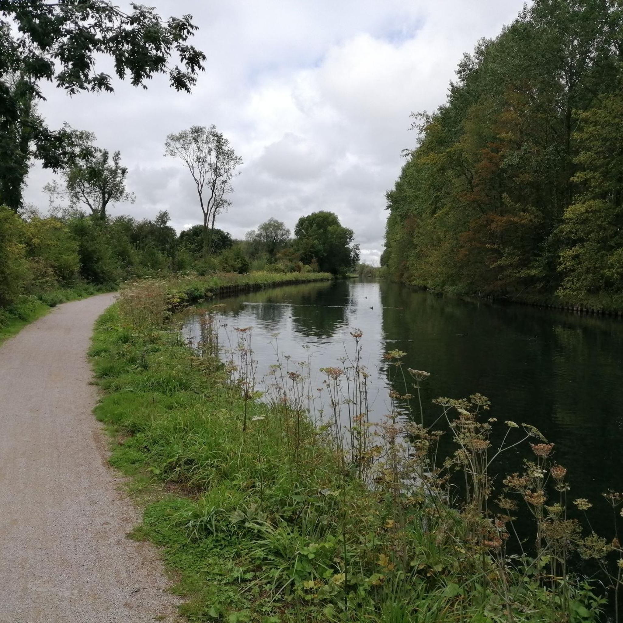
If you are looking for a nice bike ride along the Scarpe, you can go to Lock No. 30 in Athies, a lock that regulates the water level and allows the passage of boats . Lock No. 30 at Athies is part of the Scarpe Supérieure, a canalized section of the river which connects Arras and Douai. It is also a hydrographic area which contributes to the water quality and biodiversity of the region. Lock No. 30 in Athies is a privileged place to appreciate the technical and environmental aspects of the Scarpe.
5
0
Sailly-en-Ostrevent is a French commune located in the Hauts-de-France region. A point of interest in Sailly-en-Ostrevent is the church of St. Albin, which, together with a large part of the village, was rebuilt after the First World War. A more special attraction is the special location Cromlech "Les sept bonnettes" with remains of the megalithic era.
4
0
These stalls are located in the Parc de la Brayelle.
4
0
Frequently Asked Questions
What kind of terrain can I expect when touring cycling around Vis-En-Artois?
The Vis-En-Artois region offers a diverse landscape for touring cyclists. You'll encounter rolling hills, expansive open fields, and distinctive chalk ridges. While there are gentle plains and riverbanks, particularly along the Scarpe River, some routes feature ascents over 200 meters, providing varied challenges and scenic views across the Artois region.
How many touring cycling routes are available in the Vis-En-Artois area?
There are over 110 touring cycling routes around Vis-En-Artois listed on komoot. These routes cater to various skill levels, with a good mix of easy and moderate options, ensuring there's something for every cyclist.
Are there any easy touring cycling routes suitable for beginners in Vis-En-Artois?
Yes, Vis-En-Artois offers a good selection of routes suitable for beginners. Over 50 easy touring cycling routes are available, characterized by gentler terrain and shorter distances. These are ideal for those looking for a relaxed ride through the scenic landscapes.
What historical landmarks or attractions can I see along the cycling routes?
The Vis-En-Artois region is rich in history, particularly related to World War I. Many cycling routes integrate remembrance tourism, passing by significant sites. While cycling, you might encounter ancient megaliths like The Menhir of Lécluse or the Devil's Stone and Hamel Dolmen or the Sorcerers' Kitchen (Pierre Chavatte). You can also visit historical sites such as Houdain Lane Cemetery. The region's routes often lead through former battlefields and past memorials, offering a poignant journey through history.
Are there any long-distance touring cycling routes in Vis-En-Artois?
Yes, several routes offer longer distances for those seeking a more extended touring experience. For example, the Beaumetz Cross Roads Cemetery – Chemin du Canal loop from Quéant is a moderate 31.5 miles (50.7 km) path, and the La Pierre du Diable Menhir – Chemin du Marais loop from Biache-Saint-Vaast covers 33.1 miles (53.3 km), both leading through historical sites and open fields.
What do other touring cyclists say about the routes in Vis-En-Artois?
The touring cycling routes around Vis-En-Artois are highly regarded by the komoot community, holding an average rating of 4.6 stars from over 80 reviews. Cyclists often praise the varied terrain, which includes rolling hills and riverbanks, and the integration of historical sites into the routes, offering a unique blend of outdoor activity and cultural exploration.
Are there any circular touring cycling routes available?
Yes, many of the touring cycling routes in Vis-En-Artois are designed as loops, allowing you to start and end your journey in the same location. Examples include The Scarpe by bike – Pelves loop from Rœux and Chemin du Canal – Hermies Hill British Cemetery loop from Quéant, which offer convenient circular options.
What is the best time of year to go touring cycling in Vis-En-Artois?
The Artois region generally offers pleasant cycling conditions from spring through autumn. The gentle plains and rolling hills are particularly beautiful in spring with blooming fields and in autumn with changing foliage. Summer is also popular, but it's always advisable to check local weather forecasts, as conditions can vary.
Are there any touring cycling routes that follow riverbanks or canals?
Yes, the region features routes that utilize riverbanks and towpaths. The Scarpe River, in particular, offers enjoyable cycling environments. You can explore routes like The Scarpe by bike – Pelves loop from Rœux, which follows the Scarpe river through open landscapes, or the Scarpe riverbanks – The Scarpe by bike loop from Biache-Saint-Vaast.
Can I find cafes or accommodation along the touring cycling routes in Vis-En-Artois?
While specific cafes and accommodation directly on every route are not detailed, the region, especially around larger towns like Arras (a short distance from Vis-En-Artois), offers various amenities. Many routes pass through or near villages and towns where you can find places to rest, eat, and stay. It's recommended to plan your stops in advance, especially for longer rides.
What are the options for parking and public transport for cyclists in Vis-En-Artois?
For cyclists arriving by car, parking is generally available in the towns and villages that serve as starting points for routes, such as Rœux, Quéant, or Biache-Saint-Vaast. Public transport options, particularly regional trains and buses, can connect you to the area, though specific services for carrying bicycles may vary. It's advisable to check local transport provider websites for the most current information on bike-friendly services.
Are there any challenging touring cycling routes for experienced cyclists?
While the majority of routes are easy to moderate, the region's rolling hills, known as the "Collines d'Artois," do offer more challenging sections. These include ascents like Le Rietz d'Audenfort, Côte de Journy, Bullecamps, and Verval, which can reach over 200 meters above sea level with climbs of approximately 3 kilometers. There are a few difficult routes available for those seeking a greater challenge.
Most popular routes around Vis-En-Artois
Most popular attractions around Vis-En-Artois

Get inspired with the komoot mobile app


Explore more
Browse the best Cycling routes in other regions.
