Top 10 Mountain Passes around Amirat
Best mountain passes around Amirat are situated within the rugged Hajar Mountains of northeastern Oman, near the city of Muscat. This region is characterized by a striking mountainous landscape, featuring significant routes like the Al Amirat-Bawshar Road, also known as the Snake Road. The area offers panoramic views from its high-altitude roads and presents opportunities for exploring vast valleys and distant peaks. Its challenging terrain provides a distinctive experience for those seeking mountain scenery.
Best mountain passes around Amirat
- The…
Last updated: June 26, 2026
Col de Pinpinier
Highlight • Mountain Pass
Translated by Google •
Tip by

Col du Buis
Highlight • Mountain Pass
Translated by Google •
Tip by

Sign up now to discover places like this
Get recommendations on the best single tracks, peaks, & plenty of other exciting outdoor places.
Sign up for free
Col de Bleine
Highlight • Mountain Pass
Translated by Google •
Tip by

Col de Félines (930 m)
Highlight • Mountain Pass
Translated by Google •
Tip by
Col de Saint-Raphaël
Highlight • Mountain Pass
Translated by Google •
Tip by
Sign up for free to discover even more mountain passes around Amirat.
Sign up for free
Already have an account?
Start today with a free account
Your next adventure awaits.
Login or Signup
Tips from the Community

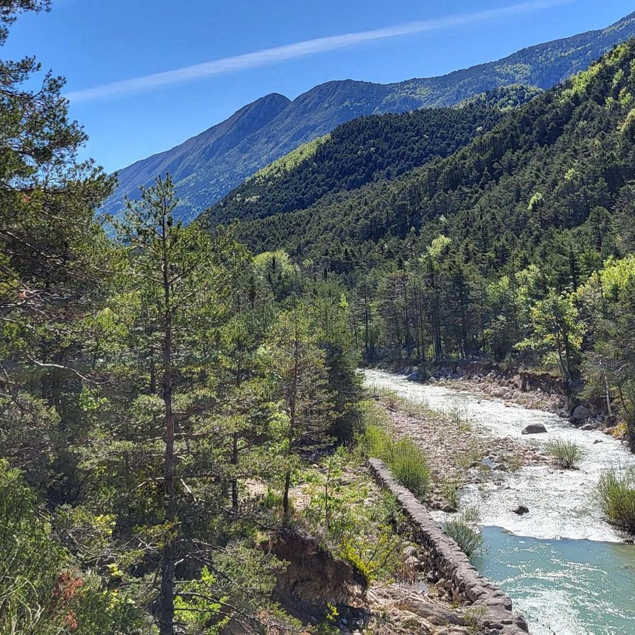
Very technical downhill road, the asphalt is in excellent condition.
19
0
A hill not too difficult to climb with panoramic stretches. Asphalt in excellent condition.
16
0

The Col du Buis, culminating at 1196 m, was a mule pass which was paved in the early 2000s and it must be believed that the DDE services did not look for an alternative to soften the slope, especially on the North side. from the hamlets of la Serre and les Venières. Because the pass simply displays an average of 10.6% over almost 4km, with ramps climbing to 17-18%! As much to say to you that you will pass the 4kms which will appear among the longest of your life... It is a really hard climb, which offers little respite. It is difficult to appreciate the landscape of this small wild pass. This is probably the reason why everyone only takes the picture once they have reached the top...
0
0
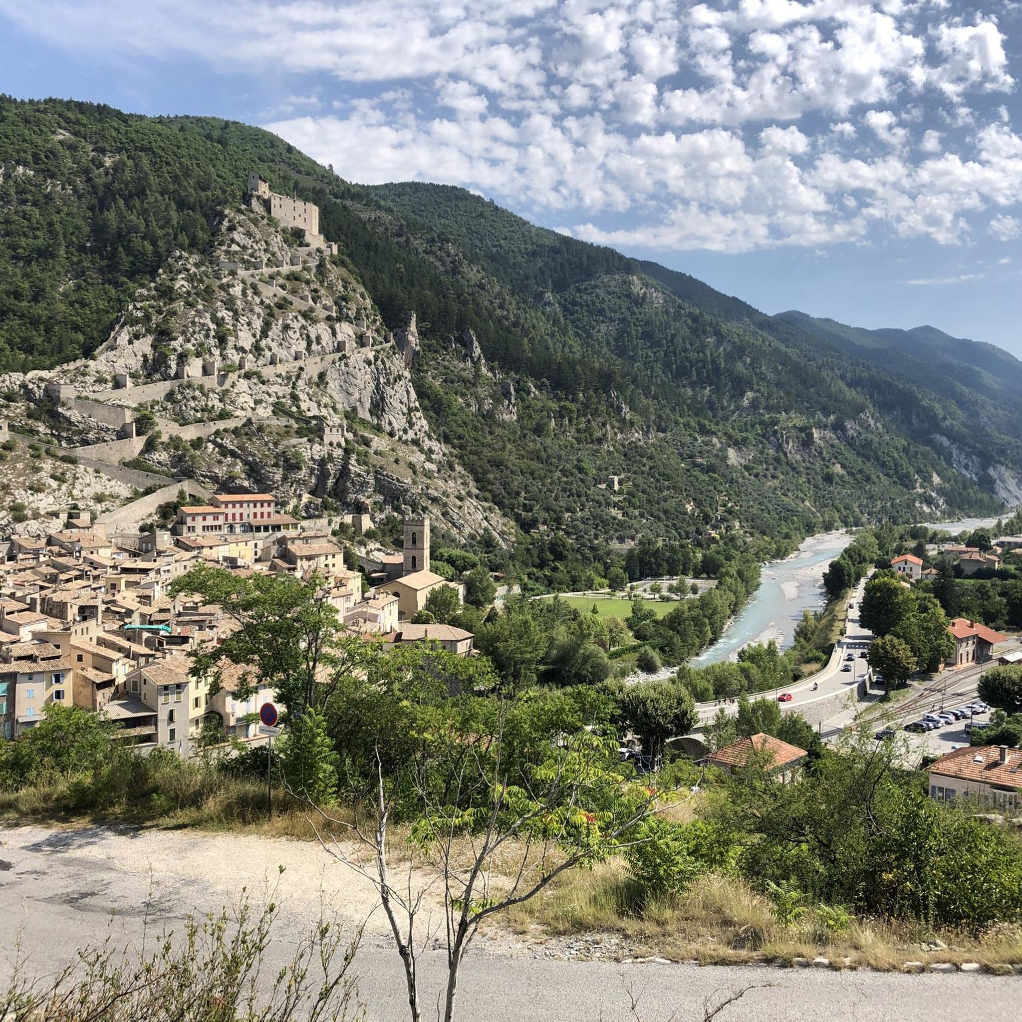
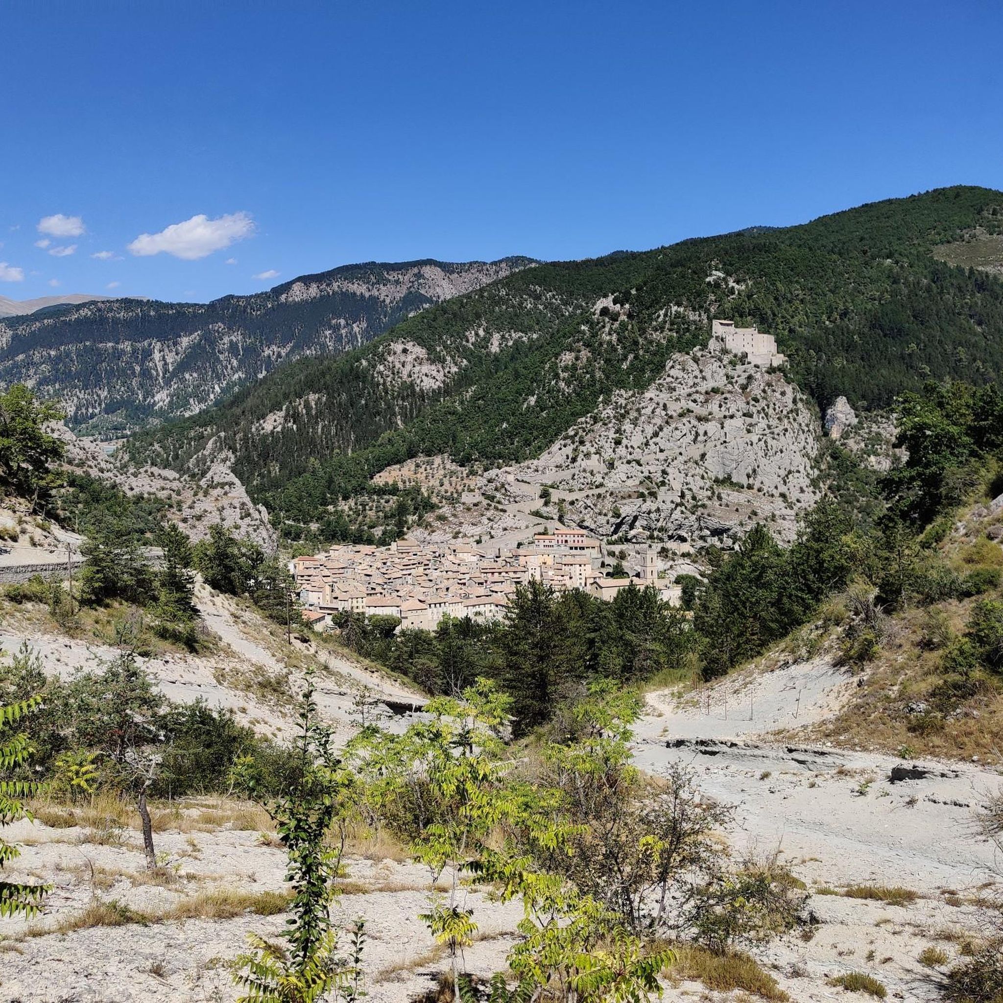
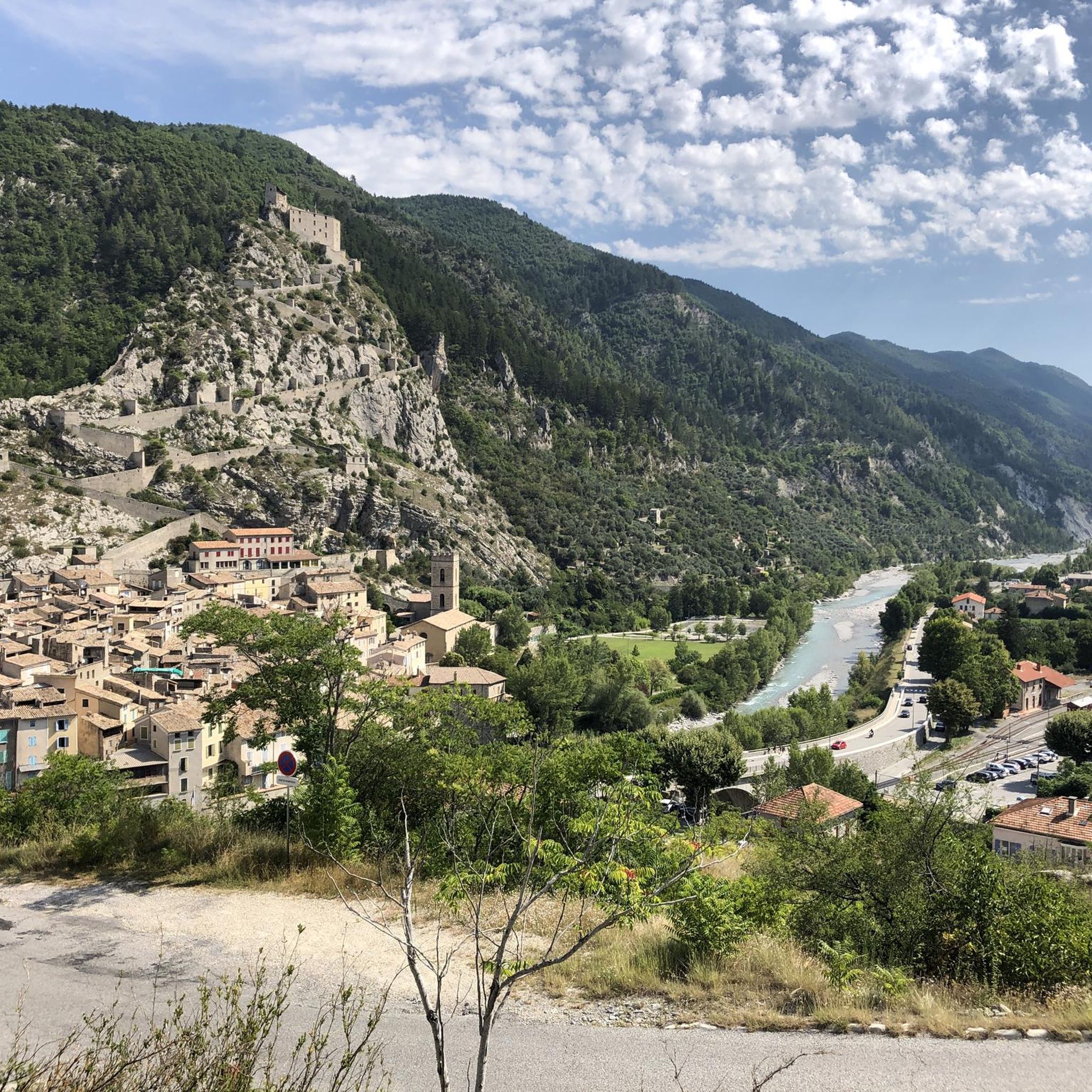
Nice pass of the pre-Alps to do from Entrevaux. The beginning is steep but offers a very beautiful view of the citadel of Entrevaux. the second part is easier and allows you to climb a regular slope in the heart of the Mediterranean landscapes, then a pine forest.
1
0

Gateway to the Pre-Alps, from the Var valley. Superb view of the foothills of the Mercantour massif and the Var Valley.
2
0

The Col de Bleine from the Pont du Loup is 28.9 km long, with an elevation gain of 1238 m. There is an average gradient of 4.28% with maximum ramps of 7.5%.
4
1
The Col de St Raphael from Puget Theniers is 8km long with 465m of elevation gain. The average slope is 4.8%.
2
0
The Col de Félines from Entrevaux is about 7.5 kilometers long with a positive elevation of 445 meters. The average gradient of the climb is 6% with maximum ramps of 12% at the start of the climb (don't worry, it gets easier!).
2
0
Frequently Asked Questions
Where are the mountain passes around Amirat located?
The mountain passes around Amirat are situated within the rugged Hajar Mountains of northeastern Oman, near the city of Muscat. This region is known for its striking mountainous landscape, featuring significant routes like the Al Amirat-Bawshar Road, also known as the Snake Road.
What kind of views can I expect from the mountain passes in Amirat?
The mountain passes and roads in Amirat, particularly the Al Amirat-Bawshar Road, offer unworldly panoramic views from their summits. You can expect to see vast valleys, distant peaks, and the surrounding landscape, including the city of Muscat. Designated safe points are available for stopping and taking photographs, with views being particularly stunning at night.
Are there opportunities for hiking near the mountain passes in Amirat?
Yes, the mountainous terrain around Amirat, especially along the Al Amirat-Bawshar Road, presents opportunities for hiking. While specific trails are not detailed in the guide, the area allows visitors to explore the rugged landscape on foot. For more structured hiking options, you can explore running trails around Amirat, which include routes of varying difficulty.
What are some popular mountain passes to visit in the Amirat region?
Visitors to the Amirat region appreciate several mountain passes. Col de Pinpinier is a notable mountain pass and viewpoint, offering beautiful views along its exceptionally lonely route. Another popular choice is Col de Bleine, known for its panoramic stretches and connecting the high valley of the Lane with that of the Gironde.
What is the best time of year to visit the mountain passes around Amirat?
The Hajar Mountains, where Amirat's mountain passes are located, are best visited during the cooler months, typically from October to April. During this period, temperatures are more moderate, making outdoor activities like driving and hiking more comfortable. Summers can be extremely hot.
Are there challenging mountain passes for experienced cyclists or drivers?
Yes, the region offers challenging routes. The Al Amirat-Bawshar Road, also known as the Snake Road, is characterized by numerous sharp turns and continuous changes in elevation, making it a distinctive and challenging driving experience. For cyclists, Col du Buis is a particularly hard climb, displaying an average of 10.6% over almost 4km with ramps climbing to 17-18%.
Are there any mountain passes with historical or cultural significance in Amirat?
While the region is primarily known for its natural beauty and challenging roads, the Hajar Mountains themselves have historical significance as a prominent mountain range in the eastern Arabian Peninsula. The passes offer a glimpse into the rugged terrain that has shaped the region's history, though specific historical sites directly on the passes are not highlighted.
What other outdoor activities can I do near the mountain passes in Amirat?
Beyond exploring the mountain passes, the Amirat region offers various outdoor activities. You can find numerous options for road cycling and general cycling routes, with tours ranging from moderate to difficult. These routes often incorporate scenic views of the mountainous landscape.
What kind of terrain and elevation can I expect in the mountains near Al Amirat?
The terrain near Al Amirat is rugged and mountainous, part of the Hajar Mountains. Routes like the Al Amirat-Bawshar Road are constructed at high altitudes, featuring continuous changes in elevation. You will encounter vast valleys and distant peaks, with some passes like Col du Buis culminating at 1196 meters.
Are there any easy or intermediate mountain passes suitable for beginners or families?
Yes, the region offers mountain passes suitable for intermediate levels. For example, Col de Bleine is described as a hill not too difficult to climb, with an average gradient of 4.28%. Col de Saint-Raphaël also offers a small climb with great views, suitable for those seeking a less strenuous experience.
What do visitors particularly enjoy about the mountain passes in Amirat?
Visitors frequently praise the unworldly panoramic views from the summits of the mountain roads and passes. The challenging yet scenic driving experience, especially along the Al Amirat-Bawshar Road, is also a highlight. The opportunity to stop at designated points for photography and to witness the city lights at night adds to the appeal.
Are there any permits required for hiking or exploring the mountain passes?
The provided information does not indicate any specific permits required for general hiking or exploring the mountain passes and roads in the Amirat region. However, it's always advisable to check local regulations or with a local tourism office for any updates before embarking on extensive treks.
Most popular attractions around Amirat

Get inspired with the komoot mobile app


Explore more
See even more epic mountain passes by checking out these guides around Amirat:
