The best walks and hikes around Amirat
4.5
(193)
1,440
hikers
76
hikes
Hiking around Amirat offers diverse terrain within the Muscat Governorate, characterized by hills and mountainous landscapes. The region features notable viewpoints, providing panoramic vistas of valleys and rugged areas. Wadis, which are typically dry riverbeds, also form part of the natural environment, offering unique geological formations. This combination of features makes Amirat an appealing location for outdoor activities.
Best hiking trails around Amirat
- The most popular hiking route is Porte de France – Historic Center of Entrevaux loop from Entrevaux…
Last updated: June 25, 2026
4.4
(8)
40
hikers
5.75km
02:09
350m
350m
Moderate hike. Good fitness required. Easily-accessible paths. Suitable for all skill levels.
4.7
(3)
54
hikers
4.87km
01:24
120m
120m
Easy hike. Great for any fitness level. Easily-accessible paths. Suitable for all skill levels.

Sign up for free
5.0
(2)
28
hikers
10.8km
03:23
400m
400m
Moderate hike. Good fitness required. Easily-accessible paths. Suitable for all skill levels.
5.0
(2)
27
hikers
9.86km
03:04
340m
340m
Moderate hike. Good fitness required. Mostly accessible paths. Sure-footedness required.
4.8
(8)
107
hikers
2.59km
00:47
90m
90m
Easy hike. Great for any fitness level. Easily-accessible paths. Suitable for all skill levels.
Get access to more routes and recommendations from other explorers.
Sign up for free
Already have an account?
Our route recommendations are based on thousands of hikes, rides, and runs completed by other people on komoot.
Start today with a free account
Your next adventure awaits.
Login or Signup
Tips from the Community


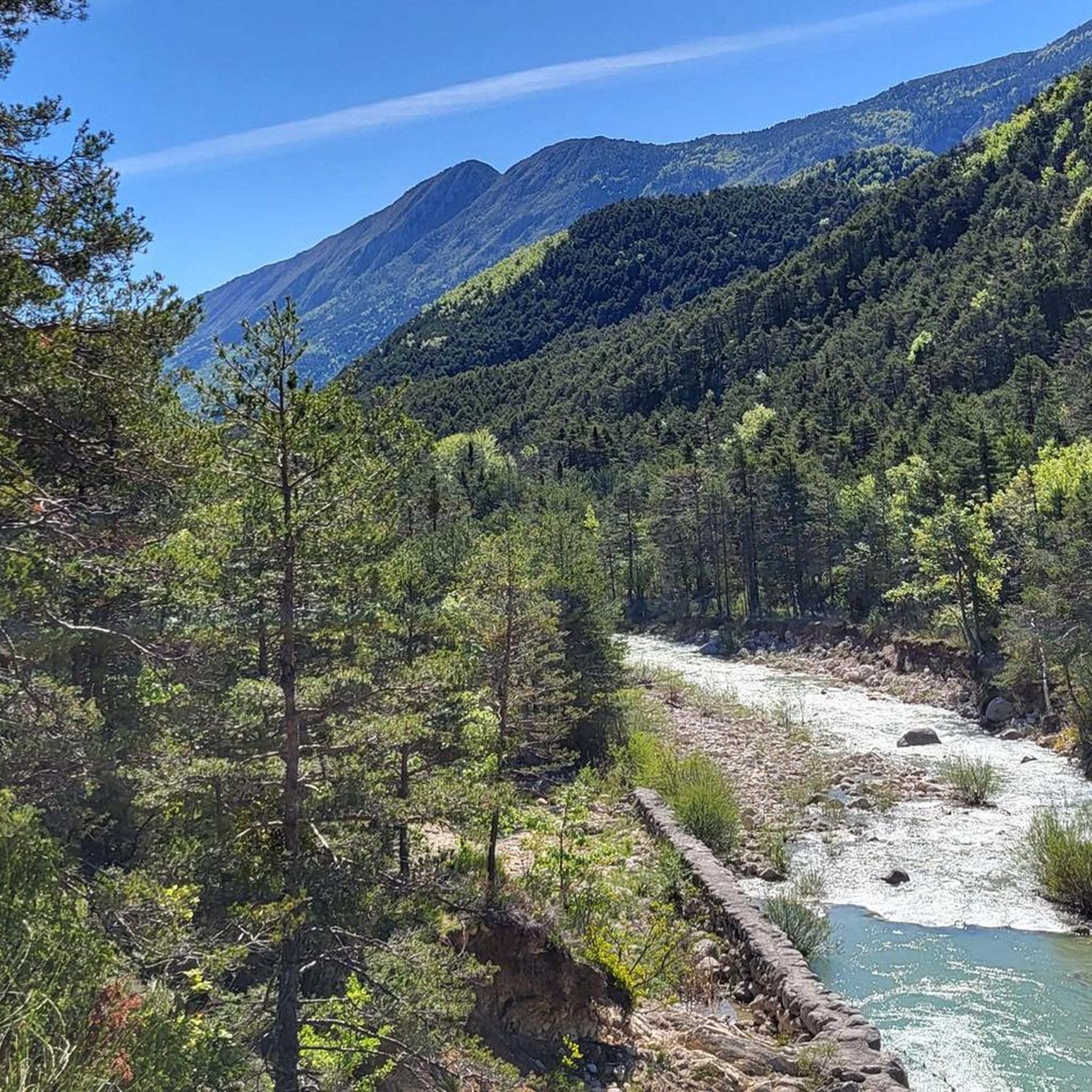
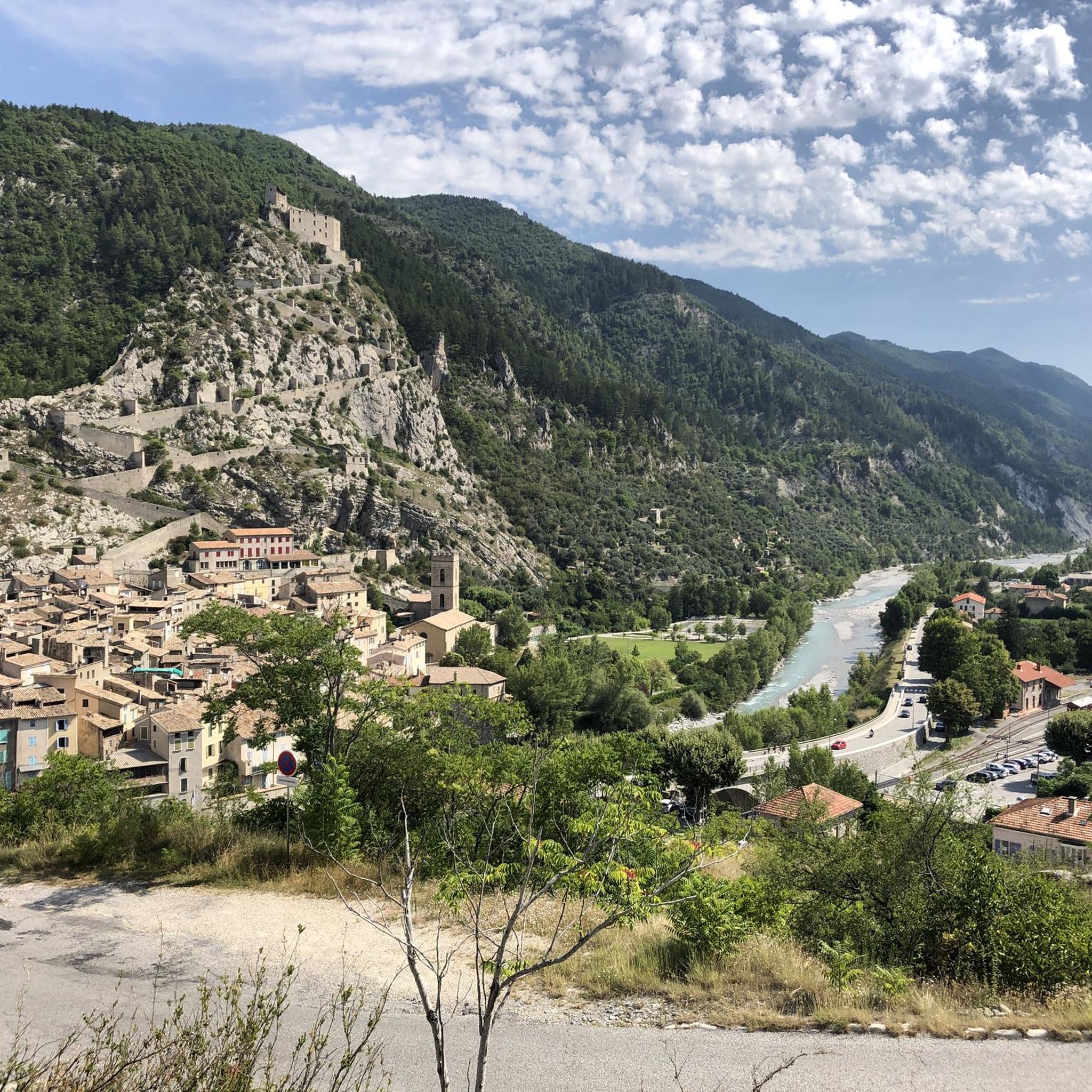
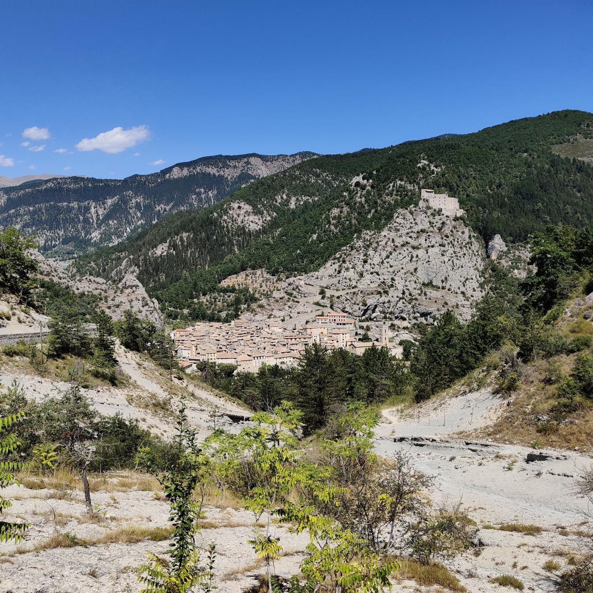
The climb to the citadel is the absolute highlight of Entrevaux and a must-do. The zigzag path along the medieval fortress wall offers sensational views of the Var Valley, the historic town of Entrevaux, and the surrounding countryside with distant vistas. The cost of €5 is entirely justified for such beautiful views.
5
0
In addition to the citadel, cathedral, and its gates, Entrevaux also boasts a beautiful and cozy historic center. The Place Charles Panier and Place du Planet, in particular, invite you to linger in one of the cafés or restaurants.
5
0
The climb begins at the Chemin des Oliviers and extends over 670 m and a 130 m ascent to the rear of the citadel. Along the way, you'll enjoy beautiful views over the Var Valley. Sturdy footwear and a steady gait are required for the hike. There are a few smaller sections that require this. Once at the top, you can continue hiking in other directions, but the citadel is not accessible from this side. You can cross a bridge into a gate and view some documentation photos, but the gate to the citadel itself is locked.
4
0
The Cathedral of Our Lady of the Assumption of the Diocese of Glandèves was located outside Entrevaux in the Glandèves district until the 16th century. For security reasons, the bishops moved their seat one kilometer west to Entrevaux in the early 17th century, where they had the Cathedral of Our Lady of the Assumption built between 1612 and 1630. The bell tower was built between 1657 and 1671. Since the suppression of the diocese in 1801, the cathedral has been the parish church of Entrevaux. Today, it belongs to the parish of the Secteur paroissial du Var. Annot – Entrevaux. Source and further information: https://de.wikipedia.org/wiki/Kathedrale_Notre-Dame-de-l’Assomption_(Entrevaux)
4
0
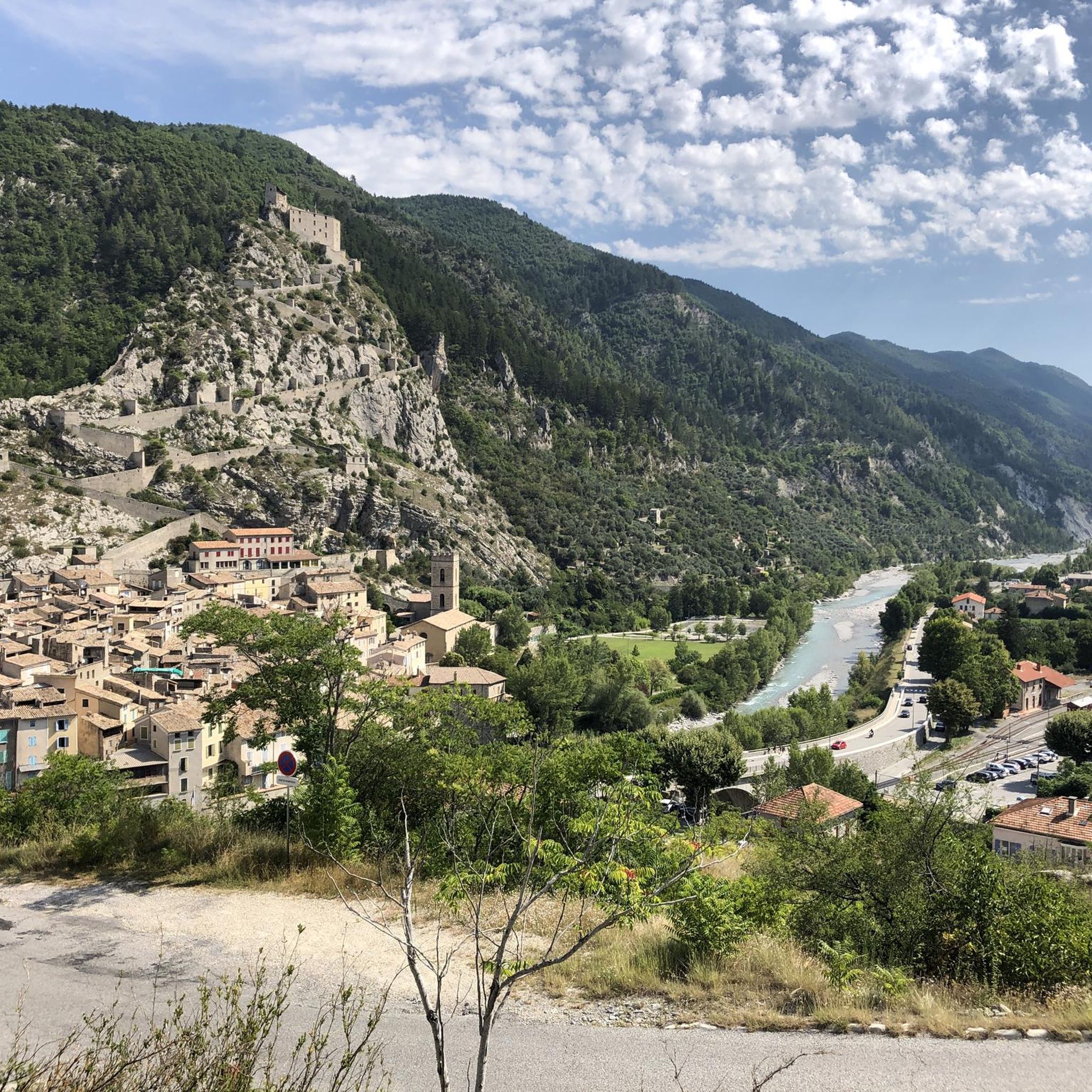
Viewpoint with bench and stunning views of the historic center of Entrevaux, the medieval city walls, the citadel and cathedral.
4
0

as the Nice group Nux Vomica sang, Entrevaux is already France
0
0

Currently costs 5 euros admission
0
0
Frequently Asked Questions
How many hiking trails are available around Amirat?
There are over 75 hiking trails around Amirat, offering a wide range of options for different skill levels and preferences. The komoot community has recorded 78 routes in total.
What kind of terrain can I expect when hiking in Amirat?
Hiking in Amirat features diverse terrain, primarily characterized by hills and mountainous landscapes. You'll encounter rugged areas, and the region is also known for its wadis, which are typically dry riverbeds that can offer unique geological formations and ecosystems, especially after rainfall.
What are the difficulty levels of hikes in Amirat?
Amirat offers a variety of hiking difficulties. You'll find 15 easy routes, 42 moderate trails, and 21 difficult paths. This ensures there are options for everyone, from casual walkers to experienced trekkers.
Are there any notable viewpoints or landmarks to see while hiking in Amirat?
Yes, Amirat is known for its stunning viewpoints. The Amirat View Point offers breathtaking panoramic views of lush valleys and rugged terrain. Additionally, you can explore other highlights such as Col de Pinpinier, View of Entrevaux, and Col du Buis, which are popular among hikers.
Can I find waterfalls or wadis on hikes near Amirat?
The Omani landscape around Amirat includes wadis, which are often dry riverbeds but can feature brooks and pools during cooler, rainy months. For a specific natural water feature, you might find the Small Waterfall to be of interest.
Are there any circular hiking routes in Amirat?
Yes, many of the trails in Amirat are designed as circular routes, allowing you to start and end at the same point. For example, the Porte de France – Historic Center of Entrevaux loop from Entrevaux is an easy 3.0-mile circular hike, and the Ruins of the Château loop from Gars offers a moderate 6.1-mile option.
What do other hikers say about the trails in Amirat?
The trails in Amirat are highly regarded by the komoot community, with an average rating of 4.5 stars from over 180 reviews. Hikers often praise the varied scenery, the accessible viewpoints, and the well-maintained paths that cater to different ability levels.
Are there family-friendly hiking options in Amirat?
Yes, Amirat offers several easy routes suitable for families. The View of Entrevaux – Historic Center of Entrevaux loop from Entrevaux is an easy 1.8-mile trail that's a great option for a shorter family outing.
What is the best time of year to go hiking in Amirat?
The cooler months, typically from October to April, are generally considered the best time for hiking in Amirat. During this period, temperatures are more comfortable, making for a more enjoyable outdoor experience. Sunrise and sunset are particularly captivating at viewpoints like the Amirat View Point.
Is there parking available near the hiking trails in Amirat?
While specific parking details for every trail are not always available, areas popular for hiking, such as the Amirat View Point, typically have designated parking facilities. It's advisable to check local information or komoot tour details for specific starting points.
Are there any longer, more challenging hikes for experienced trekkers?
Yes, for experienced trekkers seeking a challenge, Amirat offers several difficult routes. An example of a moderate to challenging route is the View of Entrevaux – Historic Center of Entrevaux loop from Le Var, which spans 9.3 miles with significant elevation gain.
Most popular attractions around Amirat

Get inspired with the komoot mobile app


Explore more
Browse the best Hikes in other regions.
