The best walks and hikes around Saires-La-Verrerie
4.4
(110)
600
hikers
34
hikes
Hiking around Saires-La-Verrerie offers a diverse landscape characterized by rolling hills, dense woodlands, and open rural areas. The region features a mix of historical sites and natural beauty, providing varied terrain for outdoor exploration. Trails often traverse agricultural land and forested sections, with moderate elevation changes.
Best hiking trails around Saires-La-Verrerie
- The most popular hiking route is Hiking loop from Le Ménil-de-Briouze, a 7.5 miles (12.1 km) trail that takes 3 hours 5 minutes to complete. This moderate route…
Last updated: July 5, 2026
4.9
(19)
96
hikers
12.1km
03:05
40m
40m
Moderate hike. Good fitness required. Easily-accessible paths. Suitable for all skill levels.
4.8
(6)
36
hikers
Moderate hike. Good fitness required. Easily-accessible paths. Suitable for all skill levels.

Sign up for free
5.0
(2)
14
hikers
Moderate hike. Good fitness required. Easily-accessible paths. Suitable for all skill levels.
4.8
(4)
12
hikers
7.06km
01:57
120m
120m
Easy hike. Great for any fitness level. Easily-accessible paths. Suitable for all skill levels.
4.5
(2)
10
hikers
8.83km
02:24
130m
130m
Moderate hike. Good fitness required. Easily-accessible paths. Suitable for all skill levels.
Get access to more routes and recommendations from other explorers.
Sign up for free
Already have an account?
Our route recommendations are based on thousands of hikes, rides, and runs completed by other people on komoot.
Start today with a free account
Your next adventure awaits.
Login or Signup
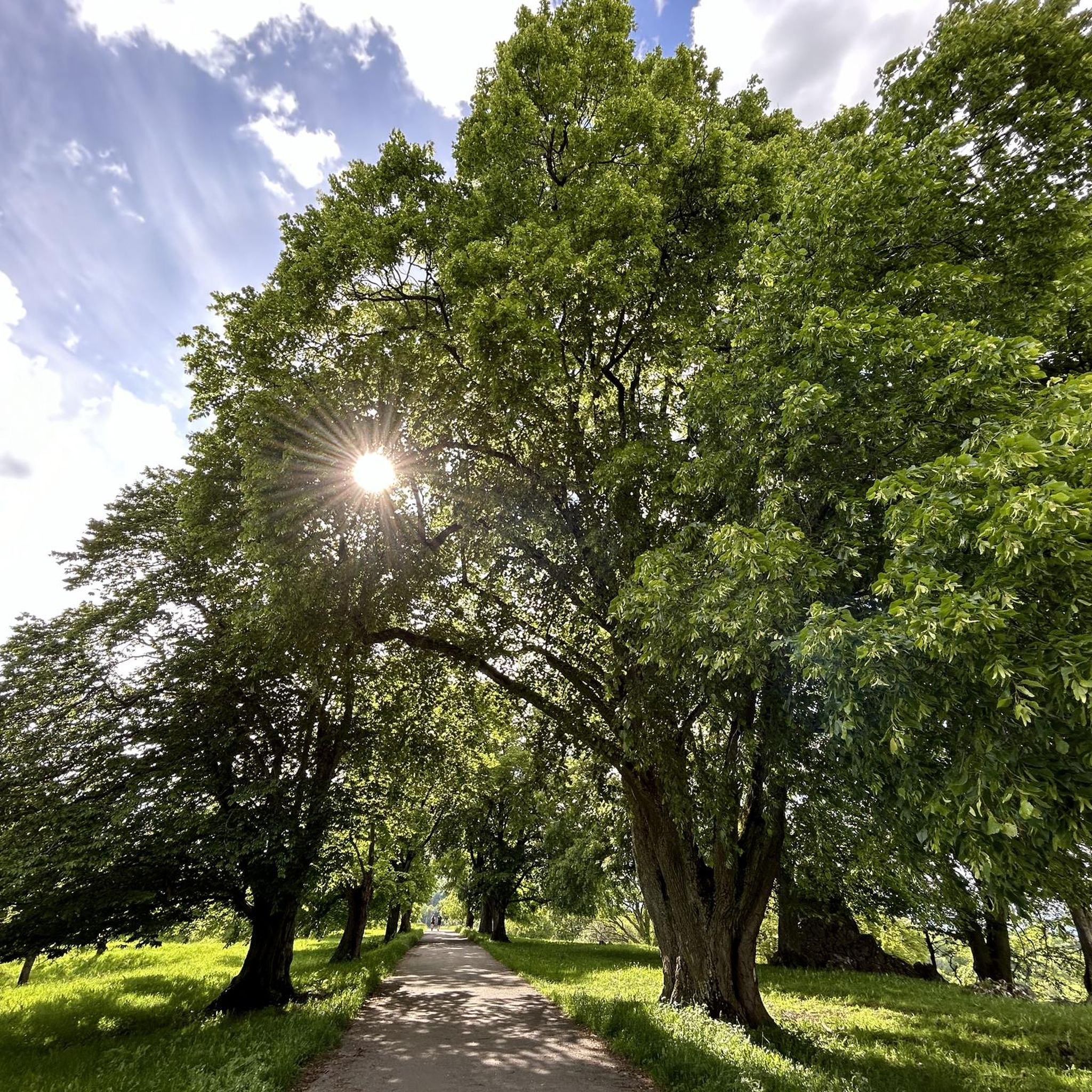


Tips from the Community

These are the last stone and brick calcination kilns in Normandy. They were part of the La Ferrière-aux-Etangs iron mine, which was in operation until 1938.
0
0

Marsh Birdwatching
0
0


This is not a former crossroads, but the old Le Chatellier railway station. This station was used for loading iron ore from the St Clair mines.
0
0
From here you have a beautiful view of the Marais du Grand-Hazé, the largest marshy area in the Orne. It is labeled Sensitive Natural Space and can be visited on foot via a 7 km signposted loop.
0
0
Frequently Asked Questions
How many hiking trails are available around Saires-La-Verrerie?
There are over 35 hiking trails around Saires-La-Verrerie. The region offers a good mix of routes, with 15 easy trails and 20 moderate options, ensuring there's something for various fitness levels.
What kind of terrain can I expect on hikes in Saires-La-Verrerie?
Hiking around Saires-La-Verrerie features a diverse landscape of rolling hills, dense woodlands, and open rural areas. Trails often traverse agricultural land and forested sections, with moderate elevation changes, providing varied terrain for exploration.
Are there any easy or beginner-friendly hikes in the area?
Yes, Saires-La-Verrerie offers 15 easy hiking routes suitable for beginners or those looking for a relaxed walk. An example is The furnaces of Butte Rouge loop from Dompierre, which is 4.4 miles (7.1 km) long and takes about 1 hour 57 minutes to complete.
Can I find circular hiking routes around Saires-La-Verrerie?
Many of the trails in the region are circular, allowing you to start and end at the same point. For instance, the popular Hiking loop from Le Ménil-de-Briouze is a 7.5-mile (12.1 km) circular route exploring the rural surroundings.
What are some interesting historical sites or landmarks to see while hiking?
The region is rich in history, particularly its industrial past. You can explore sites like the Saint-Clair-de-Halouze Iron Mine or Les Forges de Varenne. The trail Les Minières – The furnaces of Butte Rouge loop from La Ferrière-aux-Étangs specifically leads through areas with historical mining significance.
What do other hikers say about the trails in Saires-La-Verrerie?
The routes in Saires-La-Verrerie are highly rated by the komoot community, with an average score of 4.6 stars from over 90 reviews. Hikers often praise the varied terrain, the mix of woodlands and open fields, and the historical points of interest along the way.
Are there any longer, more challenging hikes for experienced hikers?
While there are no routes classified as 'difficult' in the immediate area, there are 20 moderate trails that offer a good challenge. The Les Minières loop from Dompierre is a longer moderate option at 8.9 miles (14.3 km), taking around 3 hours 50 minutes to complete.
What is the best time of year to go hiking in Saires-La-Verrerie?
The best time to hike in Saires-La-Verrerie is typically from spring to autumn (April to October) when the weather is mild and the natural landscapes are at their most vibrant. The woodlands offer pleasant shade during warmer months, and the rolling hills provide scenic views.
Are the hiking trails in Saires-La-Verrerie suitable for families with children?
Yes, many of the 15 easy trails are suitable for families. These routes generally have less elevation gain and shorter distances, making them enjoyable for children. Consider routes that pass through woodlands for a more engaging experience.
What kind of wildlife might I encounter on the trails?
The dense woodlands and rural areas around Saires-La-Verrerie are home to various wildlife. Hikers might spot deer, wild boar, and a variety of bird species. Keep an eye out, especially in the quieter, forested sections of the trails.
Are there any notable natural attractions or forests to explore?
Absolutely. The region is characterized by its woodlands. The nearby Andaines Forest is a significant natural attraction, offering extensive forested areas for exploration and a sense of tranquility away from more open landscapes.
Are dogs allowed on the hiking trails in Saires-La-Verrerie?
Generally, dogs are welcome on most public hiking trails in the Saires-La-Verrerie region, especially in rural and forested areas. It's always advisable to keep them on a leash, particularly when passing through agricultural land or near livestock, and to clean up after them.
Most popular routes around Saires-La-Verrerie
Most popular attractions around Saires-La-Verrerie

Get inspired with the komoot mobile app


Explore more
Browse the best Hikes in other regions.
