The best walks and hikes around Montigny-Lès-Cherlieu
4.2
(52)
183
hikers
21
hikes
Hiking trails around Montigny-Lès-Cherlieu traverse a diverse landscape characterized by valleys, plateaus, and elevations ranging from 227 to 369 meters. The village is surrounded by the expansive Cherlieu forest, which features a pond and is crossed by several waterways including the Ougeotte River and the Cherlieu stream. Hikers can explore a variety of environments, from tranquil forest paths to ancient vine trails, meadows, and orchards. The region's natural setting also includes marshes and historical lavoirs, offering varied terrain for outdoor…
Last updated: July 4, 2026
4.4
(18)
33
hikers
5.29km
01:28
90m
90m
Easy hike. Great for any fitness level. Easily-accessible paths. Suitable for all skill levels.
3.7
(3)
16
hikers
7.96km
02:21
230m
230m
Moderate hike. Good fitness required. Easily-accessible paths. Suitable for all skill levels.

Sign up for free
4.0
(4)
13
hikers
7.54km
02:01
90m
90m
Moderate hike. Good fitness required. Easily-accessible paths. Suitable for all skill levels.
5.0
(3)
5
hikers
10.3km
02:48
140m
140m
Moderate hike. Good fitness required. Easily-accessible paths. Suitable for all skill levels.
3.0
(2)
8
hikers
20.4km
05:45
410m
420m
Hard hike. Very good fitness required. Easily-accessible paths. Suitable for all skill levels.
Get access to more routes and recommendations from other explorers.
Sign up for free
Already have an account?
Our route recommendations are based on thousands of hikes, rides, and runs completed by other people on komoot.
Start today with a free account
Your next adventure awaits.
Login or Signup

Tips from the Community

This lake has more charm than altitude –
3
0

Small lake? Probably a large disco for the fish.
4
0


See there. No fishing. End.
4
0

Nice route for a not too long, varied walk in the green.
0
0

If you are looking for a unique and adventurous hiking experience, you can try the Treehouse in Guyonvelle. It's a place where you can stay in treehouses that are perched up to 12 meters high in a beautiful forest. You can enjoy the view of nature, the company of squirrels and birds, and the comfort of home-cooked meals.
3
0
Frequently Asked Questions
How many hiking trails are available around Montigny-Lès-Cherlieu?
Montigny-Lès-Cherlieu offers a diverse selection of over 15 hiking trails. These routes cater to various skill levels, with 8 easy trails, 9 moderate trails, and 1 difficult option, ensuring there's something for everyone to explore.
What kind of terrain can I expect on hikes in Montigny-Lès-Cherlieu?
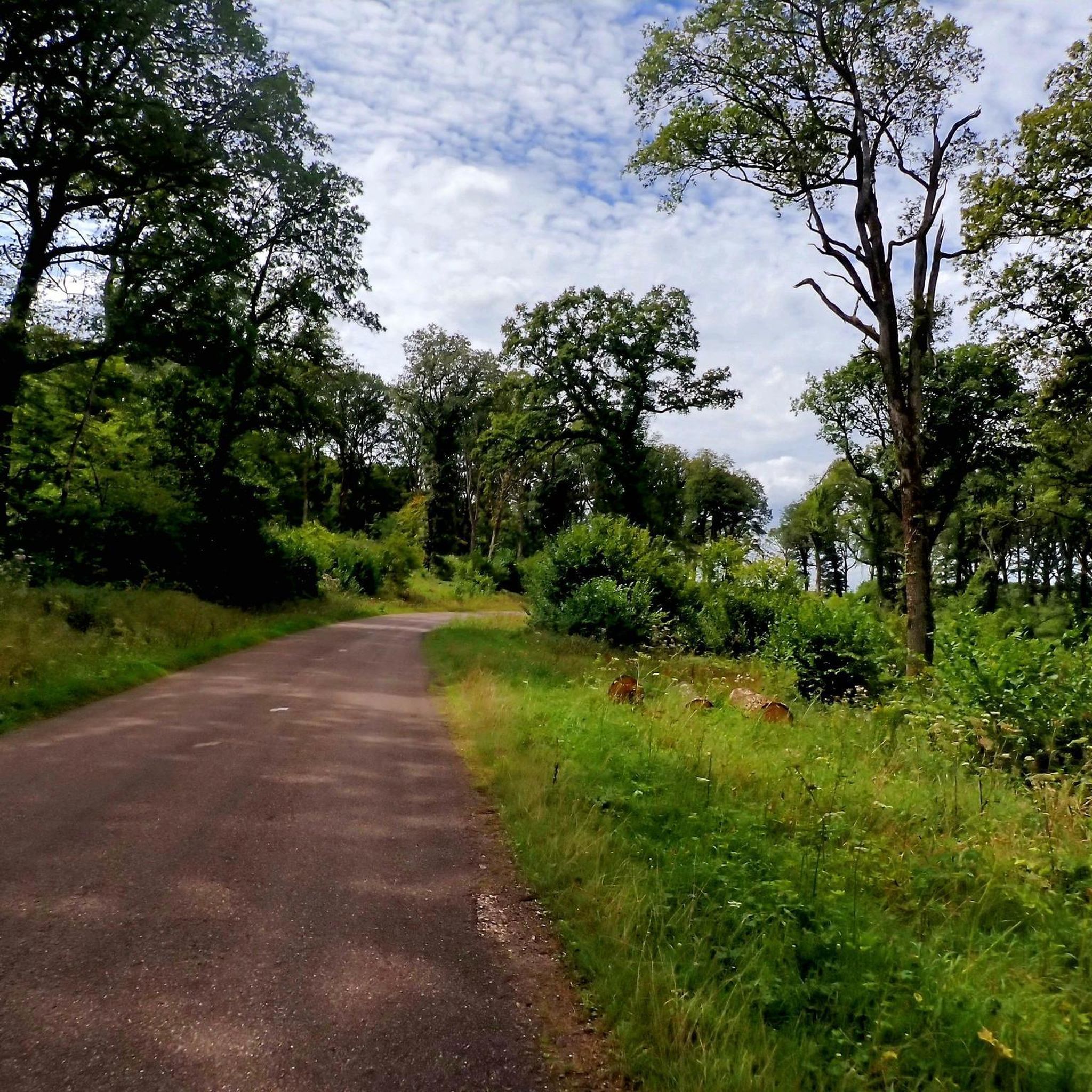
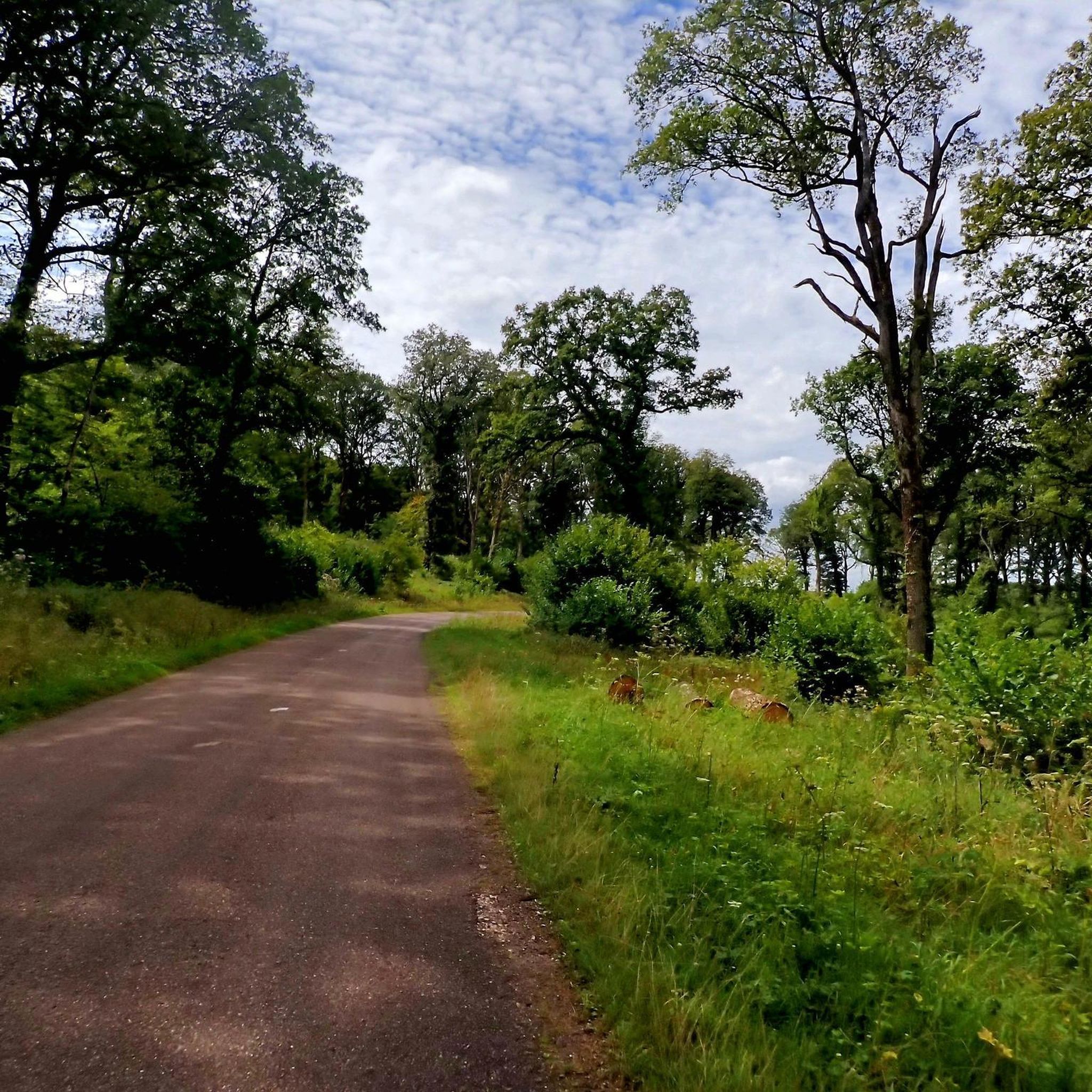
The hiking trails around Montigny-Lès-Cherlieu traverse a varied landscape. You'll find paths winding through the expansive Forêt Domaniale de Cherlieu, alongside waterways like the Ougeotte River and the Cherlieu stream, and past a tranquil forest pond. The terrain includes a mix of dirt tracks, gravel paths, and some tarmac sections, offering scenic views of woods, pastures, meadows, and cultivated fields.
Are there any historical sites to explore while hiking in Montigny-Lès-Cherlieu?
Yes, the region is rich in history. A significant highlight is the path leading to the vestiges of the Cistercian Cherlieu Abbey. Founded in 1131, its ruins offer a glimpse into its Romanesque and Gothic past. You can also find trails that pass by the small Chapelle Sainte-Brice, adding to the historical charm of your walk.
Are there any family-friendly hiking options in Montigny-Lès-Cherlieu?
Absolutely. Many of the trails are suitable for families. For an easy and enjoyable outing, consider the Circuit des Bétoires — loop from Guyonvelle, which is 5.3 km long and takes about 1 hour 28 minutes to complete. This gentle route is perfect for exploring the local countryside with children.
Can I find circular hiking routes in the area?
Yes, Montigny-Lès-Cherlieu features several excellent circular routes. A popular choice is the La Grosse Roche – Butter bread loop from La Roche-Morey, a moderate 8 km path with varied terrain. Another great option is the Église – Melay - Bistro Le Voila loop from Voisey, which is 7.5 km and takes about 2 hours 1 minute through rural landscapes.
What do other hikers enjoy most about hiking in Montigny-Lès-Cherlieu?
The area is highly rated by the komoot community, with an average score of 4.25 stars from over 50 reviews. Reviewers often praise the region's dense forests, tranquil river valleys, and the blend of natural beauty with historical ruins like the Cherlieu Abbey. The variety of routes, from easy strolls to more challenging moderate paths, is also frequently highlighted.
Are there any specific natural attractions or points of interest along the trails?
Beyond the general forest and river landscapes, you can discover specific points of interest. The village itself is known for its seven fountains. Within the Forêt Domaniale de Cherlieu, there's a beautiful pond. Additionally, some trails lead past the Melay chapel above the French village, offering scenic views.
Is Montigny-Lès-Cherlieu a good destination for beginner hikers?
Yes, Montigny-Lès-Cherlieu is very welcoming for beginner hikers. With 8 easy trails available, you can find gentle routes that allow you to enjoy the scenery without significant challenge. The varied topography, with altitudes ranging from 227 to 369 meters, means you can choose flatter paths or slightly more undulating terrain as you gain confidence.
Are there any longer, more challenging hikes in the Montigny-Lès-Cherlieu area?
For those seeking a longer adventure, the English – The Round Fountain loop from Rosières-sur-Mance offers a moderate 10.3 km hike. Another moderate option is the Montagne de la Roche loop from Charmes-Saint-Valbert, which is 8.4 km and features an elevation gain of over 160 meters, providing a good workout with rewarding views.
What is the best time of year to go hiking in Montigny-Lès-Cherlieu?
Montigny-Lès-Cherlieu offers pleasant hiking conditions throughout much of the year. Spring and autumn are particularly beautiful, with vibrant foliage and comfortable temperatures. The lush Forêt Domaniale de Cherlieu provides ample shade for summer hikes, while the diverse terrain can also be explored in milder winter conditions, though some paths might be muddy.
Are there any specific amenities or services available for hikers in Montigny-Lès-Cherlieu?
While Montigny-Lès-Cherlieu is a smaller village, it provides a tranquil base for hiking. The region's focus is on natural beauty and historical exploration. For specific amenities like cafes or pubs, you might find options in nearby villages. The area is well-suited for those who enjoy packing a picnic to enjoy amidst the natural surroundings, perhaps near the forest pond or the Cherlieu Abbey ruins.
Most popular routes around Montigny-Lès-Cherlieu
Most popular attractions around Montigny-Lès-Cherlieu

Get inspired with the komoot mobile app


Explore more
Browse the best Hikes in other regions.
