The best road cycling routes around Meyssiès
4.4
(28)
807
riders
128
rides
Road cycling around Meyssiès, a rural commune in the Isère department of southeastern France, offers varied terrain suitable for cyclists. The area features an undulating landscape with altitudes ranging from approximately 280 meters to 477 meters, providing diverse gradients. The Gère River and its tributaries, the Girand and Valaize, traverse the region, contributing to scenic routes. This location within Isère benefits from the department's reputation for extensive cycling infrastructure and varied landscapes, including valleys and hills.
Best road cycling routes…
Last updated: July 15, 2026
10
riders
103km
05:09
930m
930m
Hard road ride. Very good fitness required. Mostly well-paved surfaces and easy to ride.
5.0
(1)
18
riders
73.1km
03:15
560m
560m
Moderate road ride. Good fitness required. Mostly well-paved surfaces and easy to ride.

Sign up for free
5.0
(2)
9
riders
53.9km
02:45
690m
690m
Moderate road ride. Good fitness required. Mostly well-paved surfaces and easy to ride.
9
riders
55.1km
02:33
560m
560m
Moderate road ride. Good fitness required. Mostly well-paved surfaces and easy to ride.
10
riders
92.5km
05:02
1,610m
1,610m
Hard road ride. Very good fitness required. Mostly well-paved surfaces and easy to ride.
Get access to more routes and recommendations from other explorers.
Sign up for free
Already have an account?
Our route recommendations are based on thousands of hikes, rides, and runs completed by other people on komoot.
Start today with a free account
Your next adventure awaits.
Login or Signup

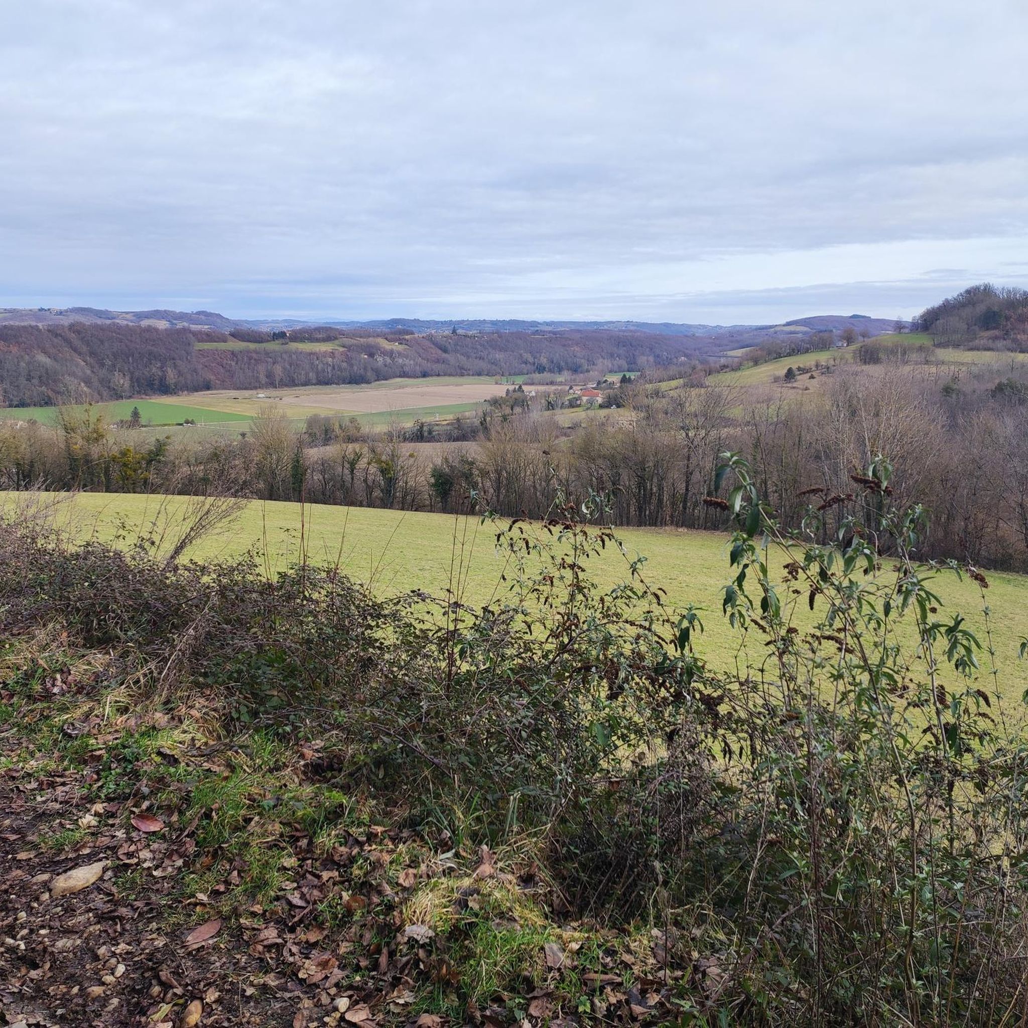
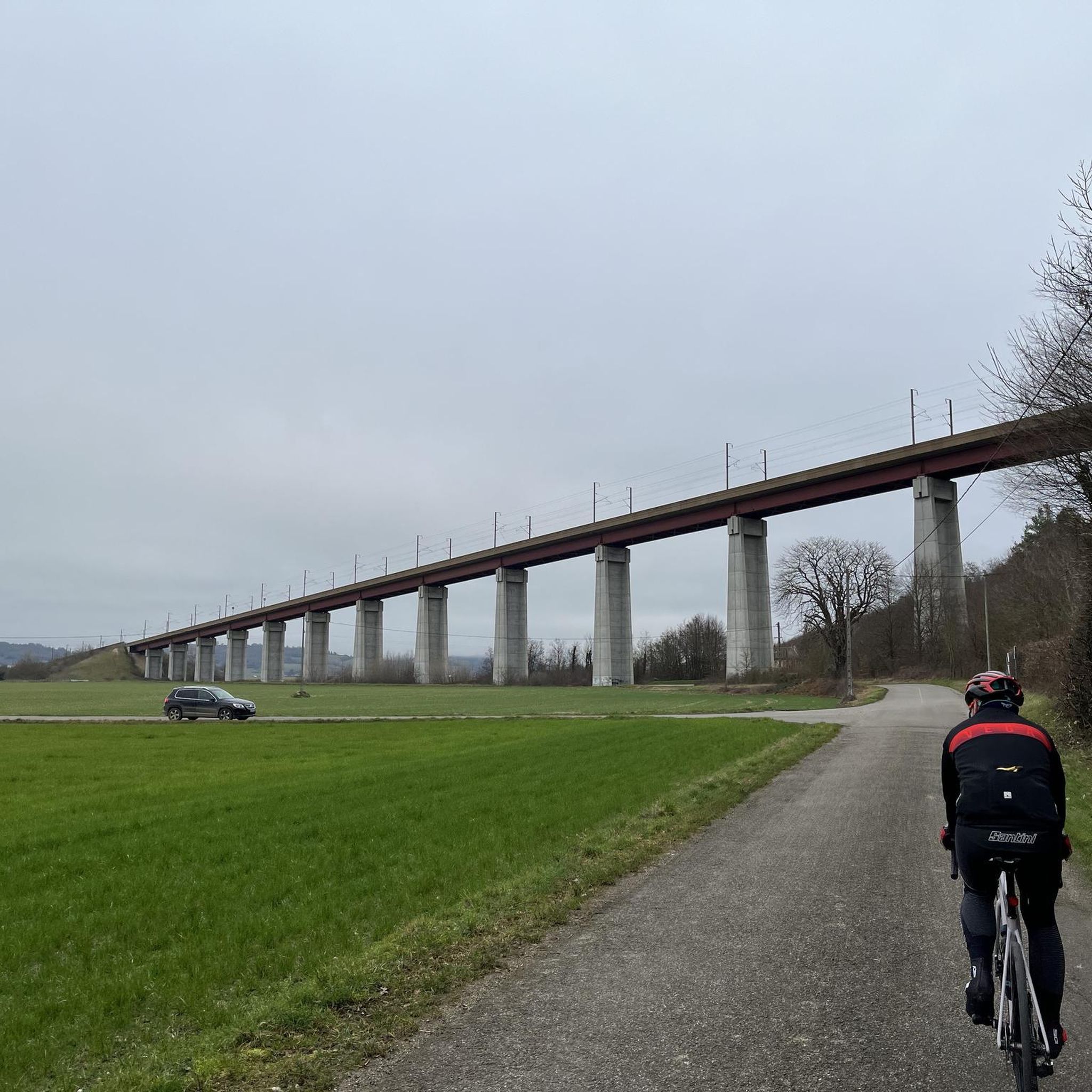
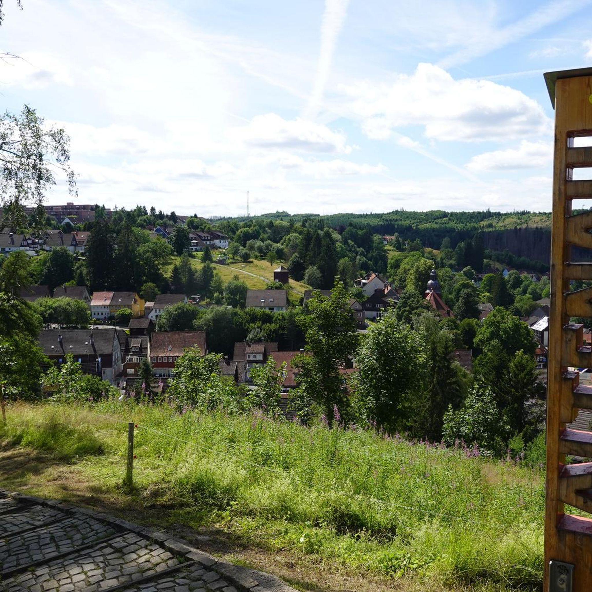

Tips from the Community

Beautiful city views from the bridge. The place is worth seeing.
0
0
beautiful bridge with great views
0
0
beautiful place with some good restaurants and nice spots.
0
0

The Condrieu suspension bridge spans the Rhône between the towns of Condrieu in the Rhône department and Les Roches-de-Condrieu in the Isère department. The suspension bridge consists of two spans separated by a central concrete pylon forming an arch, in which the metal suspension cables are anchored. The entrance to the bridge is marked by two concrete pylons that receive the cables on the banks. These are connected to the deck by hangers. The deck, with its metal frame and reinforced concrete cover slab, carries a two-lane, two-way roadway, bordered by sidewalks lined with guardrails. The current Condrieu bridge is the second bridge to be built at this location; it replaces an earlier structure constructed in 1832 and declared to be in very poor condition in 1929. The 1934 work was barely completed when the bridge was closed in June 1940 due to an act of war. A cable ferry was put back into service to restore the river crossing. In spring 2025, due to structural weaknesses, the bridge was closed to traffic for several months while new cables were installed and reinforcement work was carried out.
1
0


View from the bridge between Roches de Condrieu and Condrieu.
0
0

Cycling along the banks of the Rhone on the Quai Frédéric Mistral in Condrieu is a pleasant experience with panoramic views of the river and the impressive bridge connecting Condrieu to Les-Roches-de-Condrieu.
1
0
Frequently Asked Questions
What kind of terrain can I expect when road cycling around Meyssiès?
Meyssiès offers a varied rural landscape with altitudes ranging from approximately 280 meters to 477 meters. This provides diverse gradients, from gentle rides through lower elevations to more challenging ascents. You'll encounter undulating terrain, often alongside the Gère River and its tributaries, the Girand and Valaize, which contribute to the scenic routes.
How many road cycling routes are available in the Meyssiès area?
There are over 120 road cycling routes available around Meyssiès, catering to a wide range of abilities. This includes options for easy rides, moderate challenges, and more difficult ascents.
Are there routes suitable for beginners or families in Meyssiès?
Yes, Meyssiès offers 17 easy road cycling routes, which are generally suitable for beginners or families looking for a less strenuous ride. These routes often feature gentler gradients and traverse the picturesque rural landscapes.
What are some notable landmarks or points of interest I might see on a road cycling route near Meyssiès?
While cycling around Meyssiès, you can explore various points of interest. For example, you might encounter the historic Revel washhouse, the serene La Salette Chapel, or the impressive Bonnevaux Castle. The area also features natural beauty spots like the Étang du Marais, and the grand Château de Septème.
What is the best time of year to go road cycling in Meyssiès?
The Isère department, where Meyssiès is located, is known for its pleasant cycling conditions. Spring and autumn generally offer the most comfortable temperatures for road cycling, with less extreme heat than summer and milder conditions than winter. However, the varied terrain means cycling is possible for much of the year, depending on specific weather patterns.
Are there any challenging road cycling routes for experienced cyclists?
Absolutely. Meyssiès and the surrounding Isère region are known for varied terrain, including more demanding ascents. There are 21 difficult routes available, such as the challenging Route de Beausoleil – A travers champs loop from Eyzin-Pinet, which covers over 100 km with significant elevation gain.
Can I find circular road cycling routes around Meyssiès?
Yes, many of the road cycling routes in the Meyssiès area are designed as loops, allowing you to start and finish at the same point. An example is the Vienne – Condrieu Suspension Bridge loop from Beauvoir-de-Marc, which offers scenic views and returns to its starting point.
What do other cyclists say about road cycling in Meyssiès?
The road cycling routes around Meyssiès are highly rated by the komoot community, with an average score of 4.3 stars from numerous reviews. Cyclists often praise the varied rural landscapes, the presence of the Gère River, and the options for different ability levels.
Are there any routes that offer views of rivers or waterways?
Yes, the Gère River and its tributaries, the Girand and the Valaize, traverse the Meyssiès commune. Many routes incorporate these waterways, offering picturesque sections. The Vienne – Condrieu Suspension Bridge loop from Beauvoir-de-Marc, for instance, provides views of the Rhône River and its surroundings.
Is it possible to find cafes or accommodation near the cycling routes in Meyssiès?
Meyssiès is a rural commune, but being part of the broader Isère region, you can expect to find charming towns and villages with local amenities. While specific cafes or accommodation directly on every route might vary, the area offers opportunities to discover local gastronomy and places to stay as you explore the wider region.
What is the elevation gain like on a typical road cycling route in Meyssiès?
The elevation gain varies significantly depending on the route's difficulty. For example, a moderate route like the Bel Air Pass – Vers le col de Bel Air loop from Lotissement Château Grillet involves over 700 meters of ascent, while more difficult routes can feature close to 1000 meters of climbing.
Can I use public transport to reach Meyssiès with my bike?
While Meyssiès is a rural commune, the Isère department generally has good transport links. It's advisable to check local public transport services (buses or regional trains) for their bike carriage policies and routes connecting to Meyssiès or nearby towns. Information can often be found on the regional transport authority websites.
Most popular attractions around Meyssiès

Get inspired with the komoot mobile app


Explore more
Browse the best Road cycling routes in other regions.
