The best walks and hikes around Meyrieu-Les-Étangs
4.6
(143)
965
hikers
127
hikes
Hiking around Meyrieu-Les-Étangs offers varied terrain characterized by a hilly landscape encompassing valleys, plateaus, cultivated fields, bocages, and chestnut forests. Altitudes in the area range from 401 to 522 meters. The region is notable for its approximately thirty ponds, many fed by natural springs, and the Gervonde River, which sustains these aquatic environments. This diverse topography provides a range of hiking experiences.
Best hiking trails around Meyrieu-Les-Étangs
- The most popular hiking route is Petit Étang Garant – Étang Bugeon loop…
Last updated: July 9, 2026
4.8
(4)
18
hikers
16.0km
04:25
270m
270m
Moderate hike. Good fitness required. Easily-accessible paths. Suitable for all skill levels.
4.5
(2)
9
hikers
12.2km
03:22
210m
210m
Moderate hike. Good fitness required. Easily-accessible paths. Suitable for all skill levels.

Sign up for free
5.0
(1)
13
hikers
14.4km
04:02
280m
280m
Moderate hike. Good fitness required. Easily-accessible paths. Suitable for all skill levels.
4.5
(2)
12
hikers
9.33km
02:32
140m
140m
Moderate hike. Good fitness required. Easily-accessible paths. Suitable for all skill levels.
4.0
(4)
9
hikers
10.2km
02:48
170m
170m
Moderate hike. Good fitness required. Easily-accessible paths. Suitable for all skill levels.
Get access to more routes and recommendations from other explorers.
Sign up for free
Already have an account?
Our route recommendations are based on thousands of hikes, rides, and runs completed by other people on komoot.
Start today with a free account
Your next adventure awaits.
Login or Signup
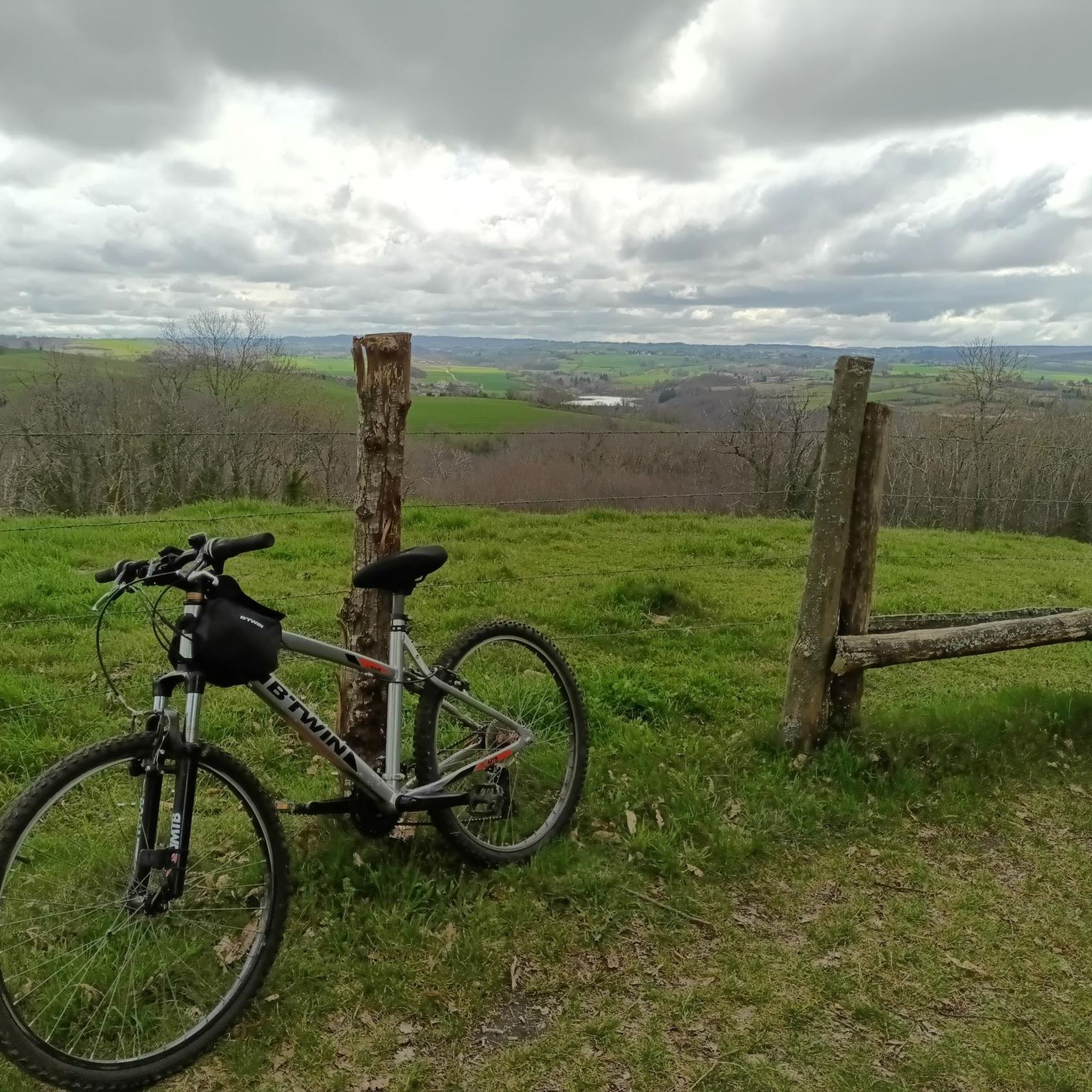
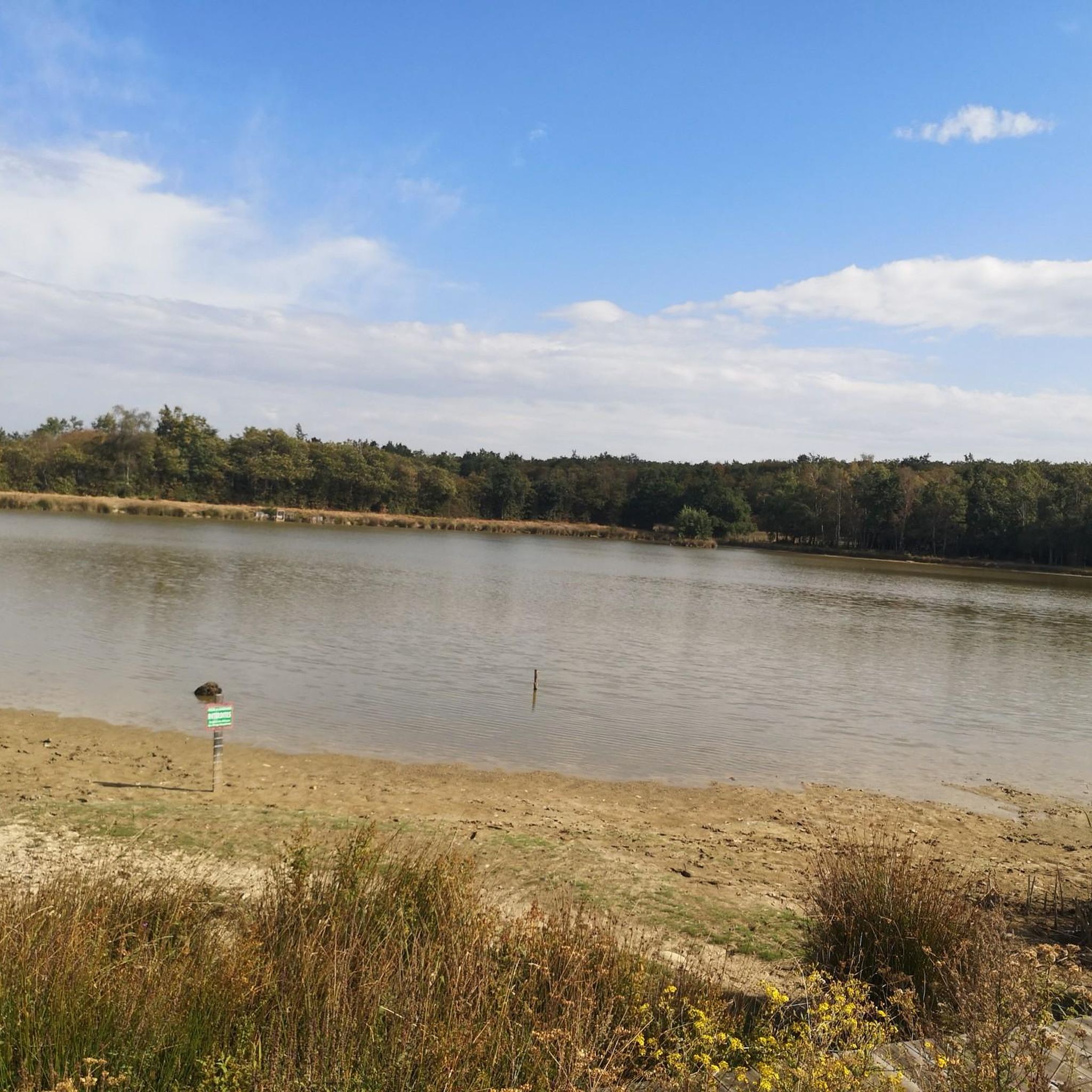


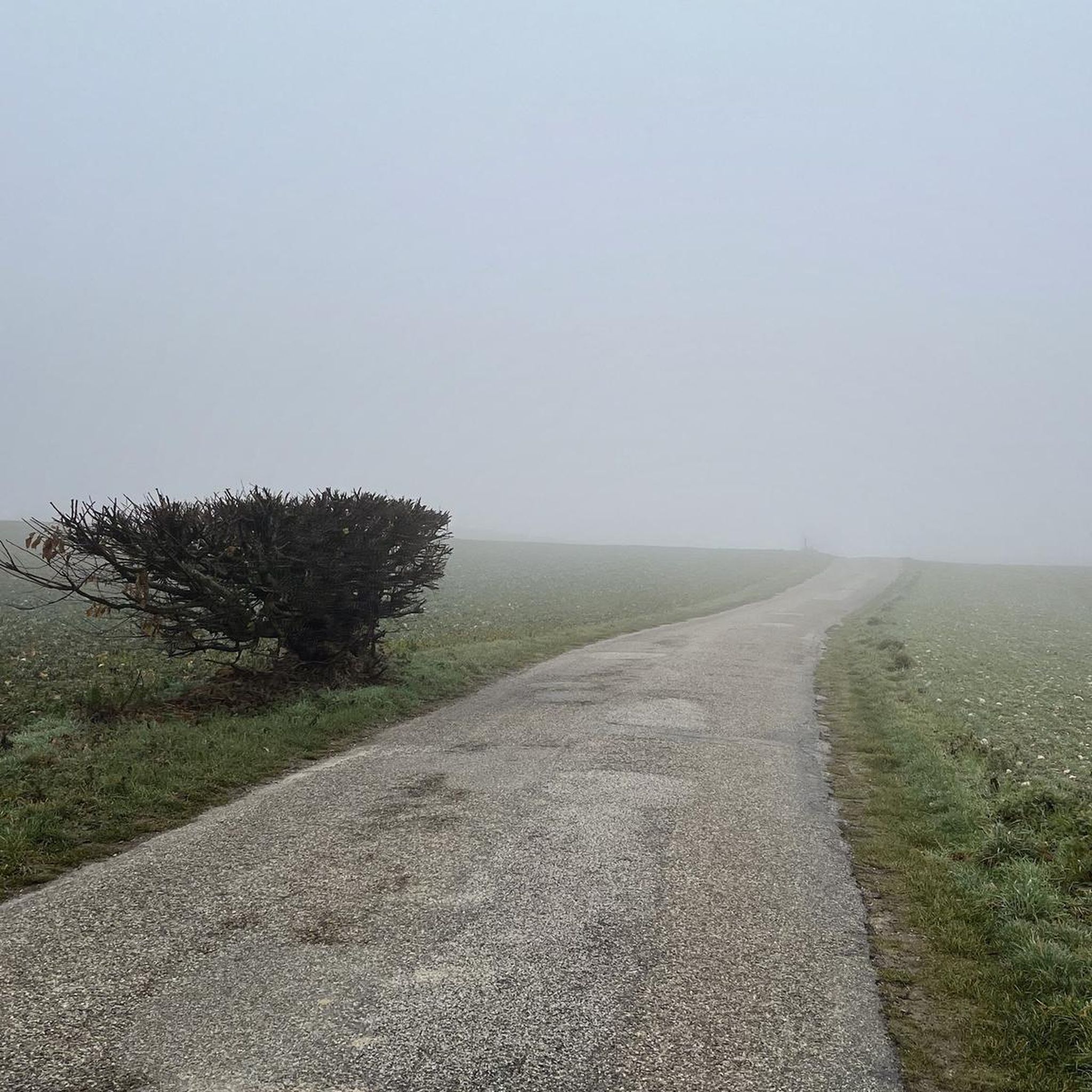
Tips from the Community

C'est juste un banc , to walk or not to walk..
0
0
Frequently Asked Questions
How many hiking trails are available around Meyrieu-Les-Étangs?
Meyrieu-Les-Étangs offers a wide selection of hiking routes, with over 100 trails available. This includes a mix of easy, moderate, and a few more challenging options to explore the diverse landscape.
What kind of terrain can I expect on hikes in Meyrieu-Les-Étangs?
The terrain around Meyrieu-Les-Étangs is characterized by a hilly landscape, featuring valleys, plateaus, cultivated fields, traditional bocages, and extensive chestnut forests. You'll also encounter numerous ponds and the picturesque Gervonde River, providing varied scenery for your hikes.
Are there options for easy hikes suitable for beginners or families?
Yes, Meyrieu-Les-Étangs has plenty of easy hiking options. There are nearly 30 trails classified as easy, perfect for beginners or families looking for a relaxed walk. A good example is the Viewpoint Bench loop from Crachier, which is just over 5 km long.
Are there any hikes that feature the region's famous ponds?
Absolutely. The region is renowned for its numerous ponds. Many routes incorporate these beautiful aquatic environments. For instance, the Petit Étang Garant – Étang Bugeon loop from Châtonnay is a popular moderate route that explores several characteristic ponds and rural landscapes.
What are some notable landmarks or viewpoints I can discover on a hike?
Hikers can discover several interesting points of interest. The historic Saint-Pierre Chapel, dating back to the 13th century, is featured on the Saint-Pierre Chapel – Walking in the woods loop from Saint-Jean-de-Bournay. For panoramic views, consider visiting the Orientation table at the summit of Chèzeneuve, which offers expansive vistas of the Alps, including Mont Blanc on clear days.
Are there any circular hiking routes available?
Yes, many of the trails in Meyrieu-Les-Étangs are designed as circular routes, allowing you to start and end at the same point. Examples include the The Devil's Stone loop from Artas and the Hiking loop from Châtonnay.
What do other hikers enjoy most about hiking in Meyrieu-Les-Étangs?
The area is highly rated by the komoot community, with an average score of 4.6 stars from over 110 reviews. Hikers often praise the diverse landscapes, including the quiet woodlands, charming bocages, and the serene beauty of the numerous ponds. The well-maintained trails and variety of routes for different fitness levels are also frequently highlighted.
Is Meyrieu-Les-Étangs suitable for dog-friendly hikes?
While specific regulations for dogs on trails can vary, the natural and rural character of Meyrieu-Les-Étangs, with its forests and open fields, generally makes it a welcoming area for hiking with dogs. It's always recommended to keep dogs on a leash, especially near wildlife or livestock, and to check local signage for any specific restrictions.
What is the best time of year to go hiking in Meyrieu-Les-Étangs?
Meyrieu-Les-Étangs offers pleasant hiking conditions throughout much of the year. Spring and autumn provide mild temperatures and beautiful scenery with blooming flowers or vibrant fall foliage. Summer is also popular, though some trails might be warmer; the chestnut forests offer good shade. Winter hikes are possible, but conditions can be cooler and some paths might be muddy.
Are there any recreational activities or amenities near the hiking trails?
Yes, beyond hiking, the Base de Loisirs du Moulin provides additional recreational options. Here you can enjoy aquatic activities like boating, canoeing, and aquabiking, along with mini-golf and other leisure facilities, making it a great spot for a post-hike activity or a family outing.
What is the typical elevation gain on trails in this region?
The region features a hilly landscape with altitudes ranging from 401 to 522 meters. While some trails are relatively flat, many moderate routes involve noticeable elevation changes. For example, the Petit Étang Garant – Étang Bugeon loop has an elevation gain of around 267 meters, offering a good workout with rewarding views.
Most popular routes around Meyrieu-Les-Étangs
Most popular attractions around Meyrieu-Les-Étangs

Get inspired with the komoot mobile app


Explore more
Browse the best Hikes in other regions.
