The best road cycling routes around Lataule
4.3
(6)
284
riders
87
rides
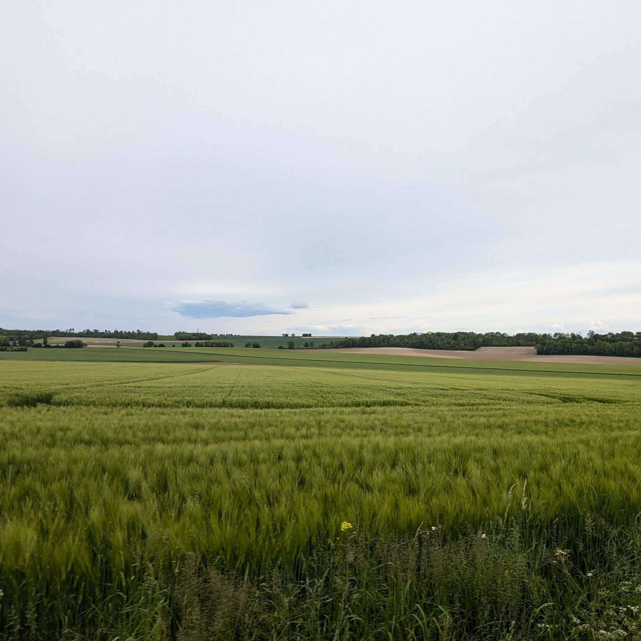
Road cycling routes around Lataule are characterized by a relatively flat terrain within the Oise department of northern France. The commune spans 7.37 square kilometers with elevations ranging from 59 to 133 meters. This geographical composition suggests routes that generally avoid challenging climbs, focusing instead on gentle gradients across the landscape. The area's small size means road cycling routes often extend beyond the immediate commune.
Best road cycling routes around Lataule
- The most popular road cycling route is Château de…
Last updated: July 2, 2026
13
riders
Easy road ride. Great for any fitness level. Mostly well-paved surfaces and easy to ride.
3.5
(2)
13
riders
72.2km
03:04
390m
390m
Moderate road ride. Good fitness required. Mostly well-paved surfaces and easy to ride.

Sign up for free
5
riders
37.1km
01:39
220m
220m
Easy road ride. Great for any fitness level. Mostly well-paved surfaces and easy to ride.
5
riders
64.4km
02:44
390m
390m
Moderate road ride. Good fitness required. Some segments of this route may be unpaved and difficult to ride.
7
riders
40.0km
01:39
200m
200m
Easy road ride. Great for any fitness level. Mostly well-paved surfaces and easy to ride.
Get access to more routes and recommendations from other explorers.
Sign up for free
Already have an account?
Our route recommendations are based on thousands of hikes, rides, and runs completed by other people on komoot.
Start today with a free account
Your next adventure awaits.
Login or Signup


Tips from the Community


The church of Saint-Martin-aux-Bois stands on the site of the former abbey on which it depended, which no longer exists. Only a few vestiges remain, including the Galata, a former hostelry that has become private property. From the rampart walk, the outline of the enclosure and the location of the monastic buildings can still be seen, while the apse of the church has recently undergone major restoration work.
0
0
Nestled between the church and the village, the Étournelles vegetable garden in Breuil-le-Sec, created in 1851 by landscaper Louis-Sulpice Varé, retains the charm of its original English-style garden. Behind its high walls, eight squares bordered by boxwood are planted with vegetables, fruits, and flowers in a perfect balance between aesthetics and production. Maintained continuously for over 160 years, this rare, nourishing garden has been listed in the Inventory of Historic Monuments since 2004.
0
0


The square itself houses a statue of Joan of Arc, a tribute to the city's historical connection to this iconic figure. The Town Hall, with its rich history and stunning architecture, continues to captivate visitors, offering a glimpse into the past while remaining a vibrant part of Compiègne's present.
2
0
The architecture of the town hall is a true feast for the eyes. The central structure is dominated by a tall bell tower, flanked by two turrets connected by a decorative railing. This imposing façade, 47 meters high and 24 meters wide, is decorated with striking Gothic elements such as pinnacles and basket arches. The large niche now houses a high relief depicting the equestrian statue of Louis XII. It is an original creation from 1869 by the sculptor Henri-Alfred Jacquemart in the realistic style so prevalent at the time. However, contrary to the usual appearance of equestrian statues during the reign of Louis XII, Henri-Alfred Jacquemart chose not to build a horse walking "à l'amble," that is, with both straight legs raised simultaneously. On October 12, 1530, a clock was placed on the summit of the bell tower. From that time on, every quarter of an hour, she animated three wooden jaquemarts with bell hammers. The Compiègneis quickly gave them three nicknames corresponding to the enemies of the time: Langlois for the English, Flandrin for the Flemish, and Lansquenet for the Germans. Even today, they chant the life of the city by "punching the time," that is, by striking their hammer to strike the hours.
2
0

Perfect for a picnic in the castle grounds!
0
0

Frequently Asked Questions
How many road cycling routes are available around Lataule?
There are over 80 road cycling routes available around Lataule. These routes range from easy to moderate, with a few more challenging options for experienced cyclists.
What is the typical terrain like for road cycling near Lataule?
The terrain around Lataule is generally flat to gently rolling, with elevations ranging from 59 to 133 meters. This makes for routes that typically avoid challenging climbs, focusing instead on smooth gradients across the Oise department landscape.
Are there any easy road cycling routes suitable for beginners or families?
Yes, there are 25 easy road cycling routes around Lataule. An example of an easy route is the 2 falls – Joan of Arc Tower (Compiègne) loop from Ressons-sur-Matz, which is 45.6 km long and features moderate elevation gains, making it suitable for those looking for a less strenuous ride.
Are there any routes with significant climbs for advanced cyclists?
Lataule's geographical characteristics, with a maximum elevation of 133 meters, mean that routes generally do not feature significant climbs. While there is one route classified as difficult, the region is more known for its gentle gradients rather than challenging ascents. For more elevation, you might consider routes that extend further into the Oise department.
What do other road cyclists say about the routes in Lataule?
The road cycling routes around Lataule are highly rated by the komoot community, with an average score of 4.1 stars from over 10 reviews. Cyclists often appreciate the quiet roads and the opportunity to explore local villages and historical landmarks.
Are there any circular road cycling routes around Lataule?
Many of the road cycling routes around Lataule are designed as loops, allowing you to start and finish in the same location. For example, the Château de Compiègne – Compiègne Imperial Palace loop from Ressons-sur-Matz is a popular 54.8 km circular route.
What kind of attractions or points of interest can I expect to see on a road cycling tour near Lataule?
While Lataule itself is a small commune, routes often extend into the surrounding Oise department, offering glimpses of local villages, traditional architecture, and historical sites. For instance, the Elincourt Sainte Marguerite – Le lavoir loop from Ricquebourg explores local villages and a traditional wash house, and the Town Hall – Lock of Longueil Annel, loop from Ressons-sur-Matz leads along a waterway.
What is the best time of year for road cycling in Lataule?
Given the relatively mild climate of northern France, spring through early autumn generally offers the most pleasant conditions for road cycling, with moderate temperatures and less chance of harsh weather. However, routes are accessible year-round, with winter cycling possible on clear days.
Are there routes that include cafe stops or places to rest?
Many routes pass through or near small towns and villages in the Oise department, where you can often find local cafes or bakeries for a refreshment stop. While specific cafe stops are not always highlighted, planning your route to pass through larger villages will increase your chances of finding amenities.
How long do road cycling routes around Lataule typically take to complete?
The duration of road cycling routes varies depending on their length and your pace. For example, a moderate 46.0 km route like the Town Hall – Lock of Longueil Annel, loop from Ressons-sur-Matz can be completed in about 1 hour 58 minutes, while longer routes such as the 73.9 km Sunday morning tour loop from Wacquemoulin might take around 3 hours 8 minutes.
Is public transport available to access road cycling routes near Lataule?
Lataule is a small commune, and direct public transport links specifically for accessing cycling routes might be limited. It is advisable to check local bus or train schedules for nearby larger towns in the Oise department, such as Compiègne, and plan your starting point accordingly if relying on public transport.
Where can I find parking for road cycling trails in Lataule?
As Lataule is a small commune, parking options are typically found in the village center or near local amenities. For routes starting from nearby towns like Ressons-sur-Matz or Ricquebourg, there are usually public parking areas available, often near town halls or community centers.

Get inspired with the komoot mobile app


Explore more
Browse the best Road cycling routes in other regions.
