The best walks and hikes around Varennes-Saint-Sauveur
4.3
(112)
708
hikers
71
hikes
Hiking around Varennes-Saint-Sauveur provides access to diverse landscapes within the Bresse Bourguignonne region of eastern France. The area is characterized by green expanses, numerous ponds, forests, and wooded plains, with the initial foothills of the Jura mountains offering varied terrain. Several rivers, including the Sevron, Solnan, and Sâne Morte, traverse the commune, contributing to lush riparian landscapes. Trails often wind through agricultural lands and wooded areas, showcasing a mix of forests and farmlands.
Best hiking trails around Varennes-Saint-Sauveur
- The most popular hiking route is Louvarel Lake – Louvarel Pond loop from Dommartin-lès-Cuiseaux, a 3.2 miles (5.1 km) trail that takes 1 hour 18 minutes to complete. This easy route explores the tranquil surroundings of Louvarel Lake and its pond.
- Another top favourite among local hikers is Bois de Bourdet loop from Condal, an easy 2.4 miles (3.9 km) path. This route leads through the wooded areas of Bois de Bourdet, offering a serene forest experience.
- Local hikers also love the La Rippe Pacaud loop from La Rippe Pacaud, a 4.5 miles (7.2 km) trail leading through rural landscapes, often completed in about 1 hour 51 minutes.
- Hiking around Varennes-Saint-Sauveur is defined by its rivers, forests, farmlands, and numerous ponds. The network offers options for easy strolls and moderate routes, catering to various ability levels.
- The routes in Varennes-Saint-Sauveur are highly rated by the komoot community with an average score of 4.3 stars from over 100 reviews. More than 740 hikers have used komoot to explore Varennes-Saint-Sauveur's varied terrain.
Last updated: July 11, 2026
3.9
(7)
23
hikers
3.89km
01:02
40m
40m
Easy hike. Great for any fitness level. Easily-accessible paths. Suitable for all skill levels.
5.0
(4)
4
hikers
7.19km
01:51
40m
40m
Easy hike. Great for any fitness level. Easily-accessible paths. Suitable for all skill levels.

Sign up for free
5.0
(1)
7
hikers
Easy hike. Great for any fitness level. Easily-accessible paths. Suitable for all skill levels.
5.0
(1)
6
hikers
11.0km
02:50
50m
50m
Moderate hike. Good fitness required. Easily-accessible paths. Suitable for all skill levels.
3.5
(2)
5
hikers
4.33km
01:07
20m
30m
Easy hike. Great for any fitness level. Easily-accessible paths. Suitable for all skill levels.
Get access to more routes and recommendations from other explorers.
Sign up for free
Already have an account?
Our route recommendations are based on thousands of hikes, rides, and runs completed by other people on komoot.
Start today with a free account
Your next adventure awaits.
Login or Signup
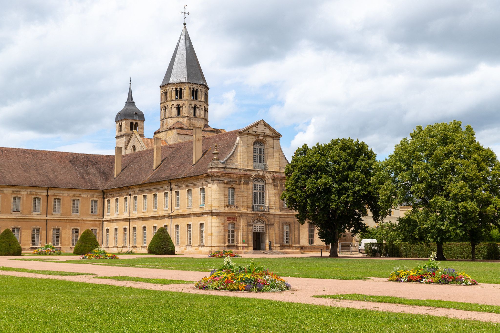
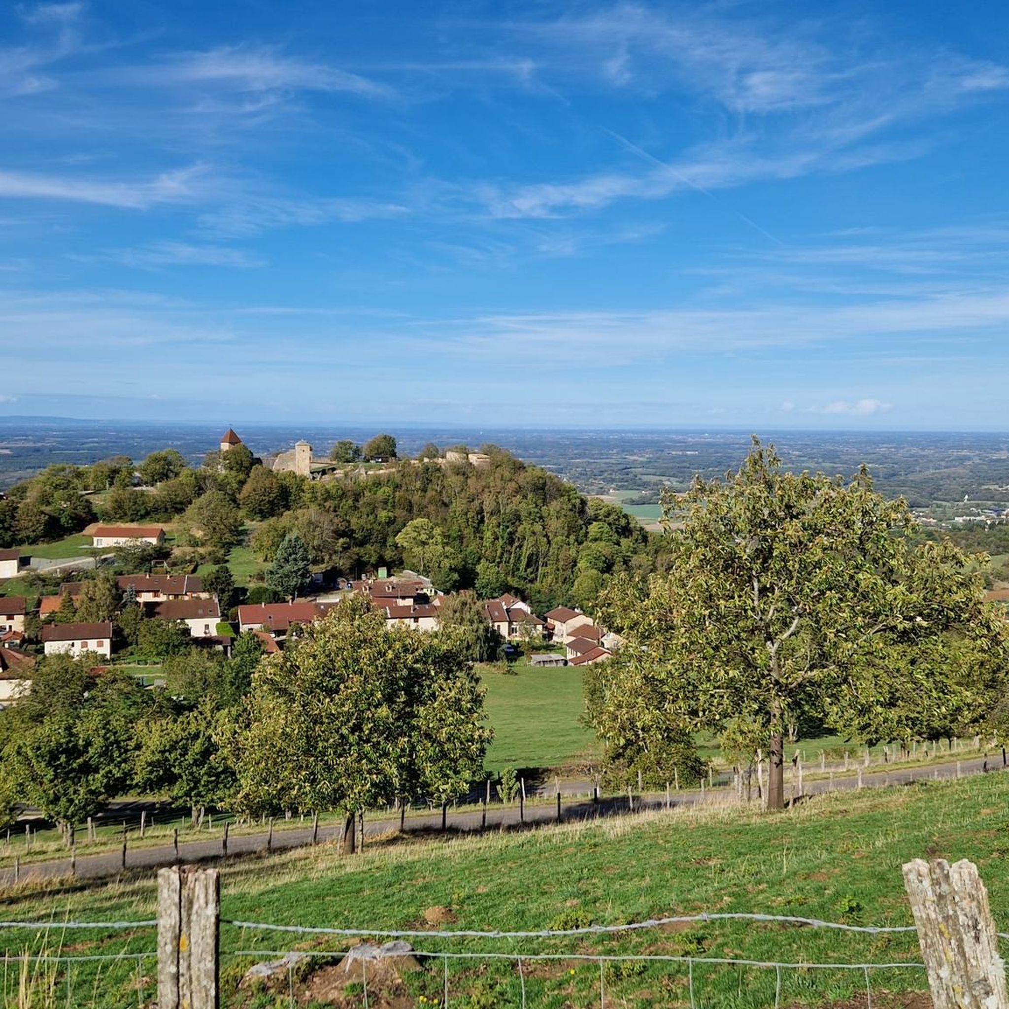
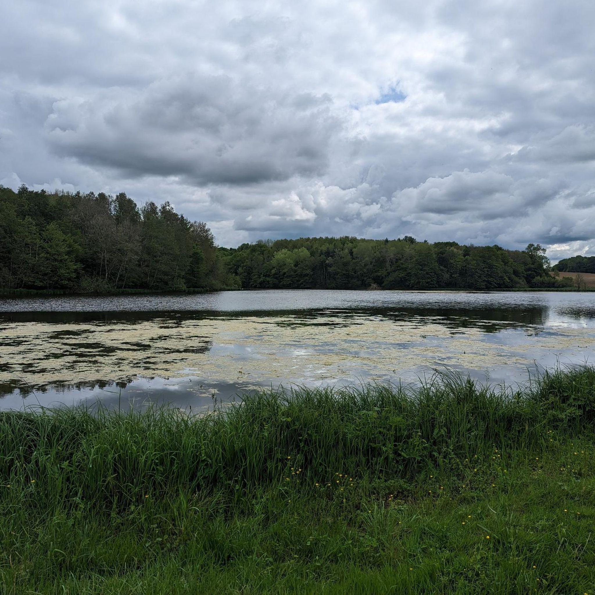
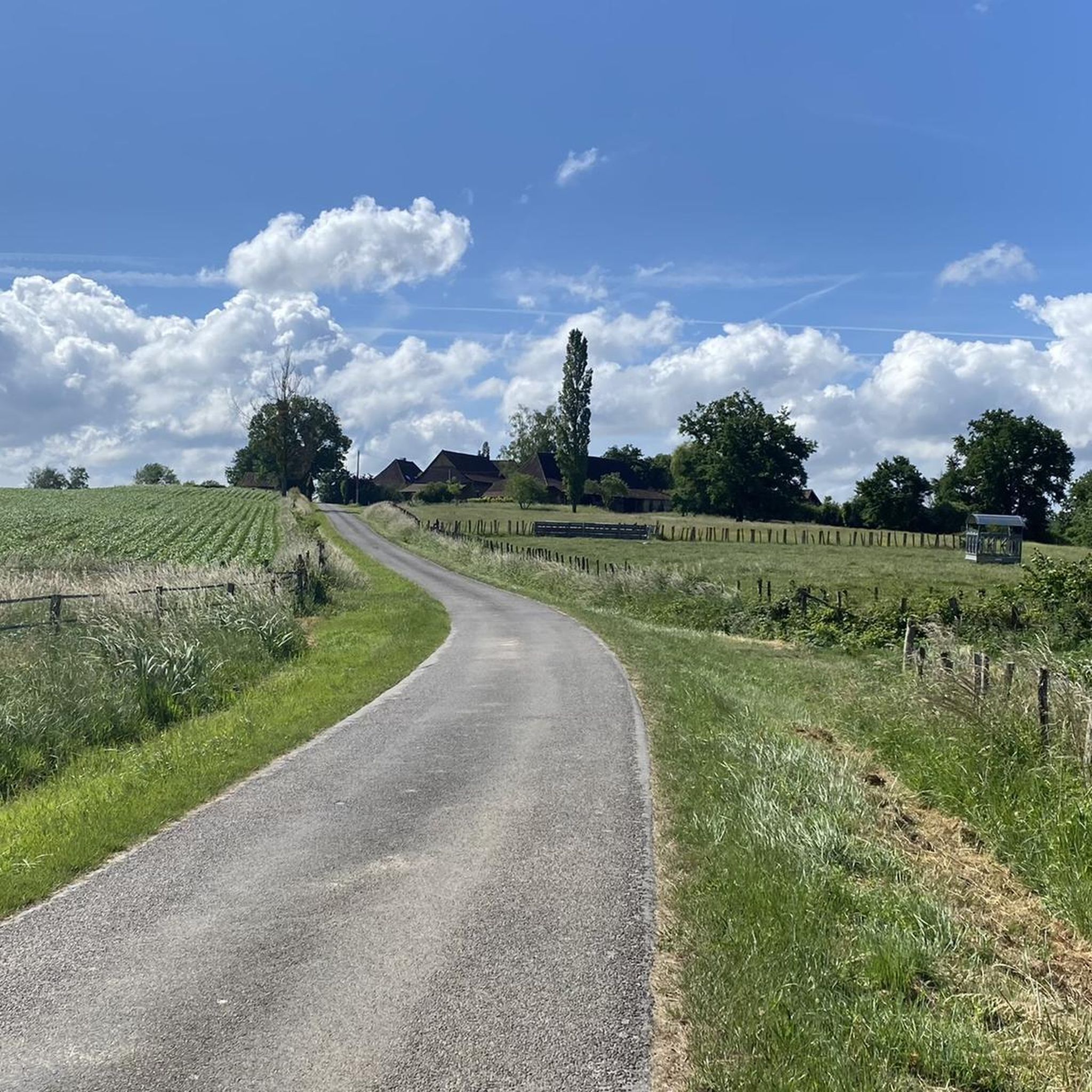

Other adventures around Varennes-Saint-Sauveur

Tips from the Community

This body of water, ideal for relaxation, is located in a calm, wooded environment, near a campsite offering various accommodations and outdoor activities.
0
0

Numerous animals to watch. Birds, beavers or otters?
1
0
One lap around the approximately 2.5km. Ideal for a walk with or without a dog. Fishing, numerous species of birds can be observed. Swimming is only possible in the specially designated area near the campsite. At the campsite there is also a snack with pizza, panini, crêpes, salads, ice cream etc.
1
0
Frequently Asked Questions
How many hiking trails are available around Varennes-Saint-Sauveur?
There are over 70 hiking routes in the Varennes-Saint-Sauveur area, catering to various skill levels. You'll find a good mix, with about 30 easy trails, nearly 40 moderate options, and a few more challenging routes for experienced hikers.
What kind of landscapes can I expect to see on the trails?
The trails around Varennes-Saint-Sauveur offer a diverse experience within the Bresse Bourguignonne region. You'll encounter green expanses, numerous ponds and wetlands, dense forests, and open agricultural lands. The area is also characterized by several rivers like the Sevron, Solnan, and Sâne Morte, which create lush riparian landscapes. Some routes even offer glimpses of the initial foothills of the Jura mountains.
Are there any circular walks available?
Yes, many of the trails around Varennes-Saint-Sauveur are circular, making them convenient for day trips. For example, the easy Louvarel Lake – Louvarel Pond loop from Dommartin-lès-Cuiseaux is a popular choice, as is the Bois de Bourdet loop from Condal, which takes you through serene wooded areas.
What are some easy hiking options for families or casual walkers?
For an easy and enjoyable walk, consider the Étang de Mépillat loop from Cormoz, which is about 5.7 km long and explores tranquil pond surroundings. Another great option is the La Rippe Pacaud loop from La Rippe Pacaud, an easy 7.2 km trail through rural landscapes.
Are there any historical or cultural landmarks to discover on the trails?
Yes, the region's trails often integrate historical and cultural elements. You might encounter traditional 'fontaines et lavoirs' (fountains and washhouses), or pass by sites like the ruins of Château de l'Aubépin. Specific routes are designed to showcase Bresse's architectural heritage, including typical farms and carronnières. You can also explore nearby highlights such as the Moulin de la Sâne Morte or the Ferme de la Forêt.
What natural features can I expect to see, such as waterfalls or lakes?
The area is rich in waterways and ponds. You'll find trails that follow the Sevron, Solnan, and Sâne Morte rivers, with possibilities of discovering small cascades. The region is 'carpeted with ponds,' offering tranquil settings. A notable feature is Louvarel Lake, which is part of a popular hiking loop.
What do other hikers say about the trails in Varennes-Saint-Sauveur?
The hiking routes in Varennes-Saint-Sauveur are highly rated by the komoot community, with an average score of 4.3 stars from over 100 reviews. Hikers often praise the peaceful atmosphere, the varied landscapes of forests and farmlands, and the well-maintained paths that make exploring the region enjoyable.
Are there any viewpoints or scenic spots along the routes?
Some hiking routes in the Varennes-Saint-Sauveur area feature 'belvédères' (viewpoints) that offer expansive vistas of the surrounding Bresse countryside. These spots provide excellent opportunities to take in the picturesque mix of forests, farmlands, and waterways that define the region.
Is Varennes-Saint-Sauveur a good destination for nature lovers?
Absolutely. Varennes-Saint-Sauveur is an excellent destination for nature lovers, with its diverse ecosystems including rivers, extensive forests, and numerous ponds. The area is part of the Bresse Bourguignonne, known for its serene natural beauty and rich biodiversity, providing a peaceful escape into the French countryside.
What is the best time of year to go hiking in this region?
The region offers pleasant hiking conditions throughout much of the year. Spring brings lush greenery and blooming wildflowers, while autumn showcases beautiful fall foliage. Summer is also popular, though it can be warmer, making early mornings or late afternoons ideal. Winter hiking is possible, offering a different, quieter perspective of the landscapes.
Are there any towns or villages nearby worth visiting?
Yes, the area around Varennes-Saint-Sauveur has charming towns and villages. For instance, the historic town of Cuiseaux is a nearby highlight that offers a glimpse into local life and heritage.
Most popular routes around Varennes-Saint-Sauveur
Most popular attractions around Varennes-Saint-Sauveur

Get inspired with the komoot mobile app


Explore more
Browse the best Hikes in other regions.
