The best road cycling routes around Garin
4.7
(315)
18,529
riders
73
rides
Road cycling around Garin is characterized by mountainous terrain, featuring numerous passes and significant elevation changes. The region offers challenging routes that traverse high mountain roads and valleys. Cyclists can expect winding ascents and descents, often with panoramic views of the surrounding peaks. The landscape is defined by its rugged natural features, providing a demanding environment for road cycling.
Best road cycling routes around Garin
- The most popular road cycling route is Lacets de Peyresourde – Peyresourde Pass loop from…
Last updated: October 21, 2026
5.0
(10)
1,485
riders
88.2km
06:05
2,840m
2,840m
Hard road ride. Very good fitness required. Mostly well-paved surfaces and easy to ride.
4.7
(3)
582
riders
126km
07:29
3,240m
3,240m
Hard road ride. Very good fitness required. Mostly well-paved surfaces and easy to ride.

4.0
(2)
217
riders
130km
08:24
3,900m
3,900m
Hard road ride. Very good fitness required. Mostly well-paved surfaces and easy to ride.
64
riders
48.6km
03:08
1,420m
1,420m
Hard road ride. Very good fitness required. Mostly well-paved surfaces and easy to ride.
51
riders
112km
05:44
1,920m
1,920m
Hard road ride. Very good fitness required. Mostly well-paved surfaces and easy to ride.
Get access to more routes and recommendations from other explorers.
Already have an account?
Our route recommendations are based on thousands of hikes, rides, and runs completed by other people on komoot.
Start today with a free account
Your next adventure awaits.





Tips from the Community

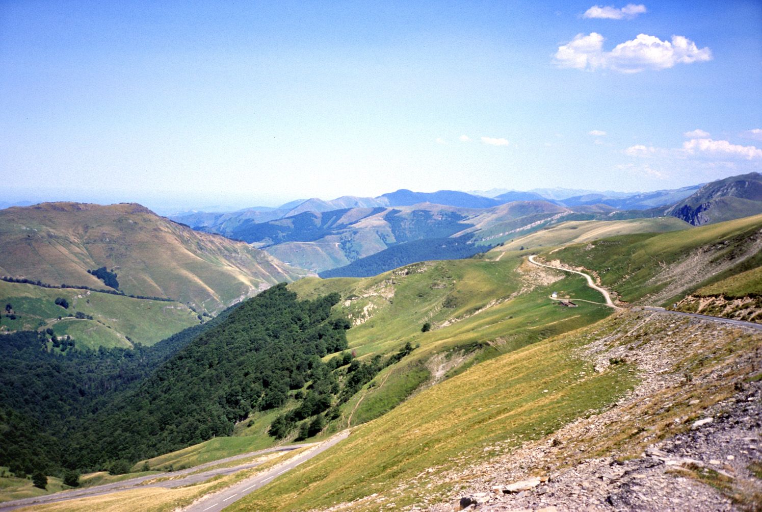
Beautiful view over the last 5 km of the ascent to the Col de Peyresourde (east side).
0
0

I ride this pass once a month by mountain bike since November 2025, this pass is closed to cars because of the snow but what a chance to see deer and does running in the snow. 😉
0
0

A beautiful transitional port between the Le Ger river valley and the Garonne river valley
0
0

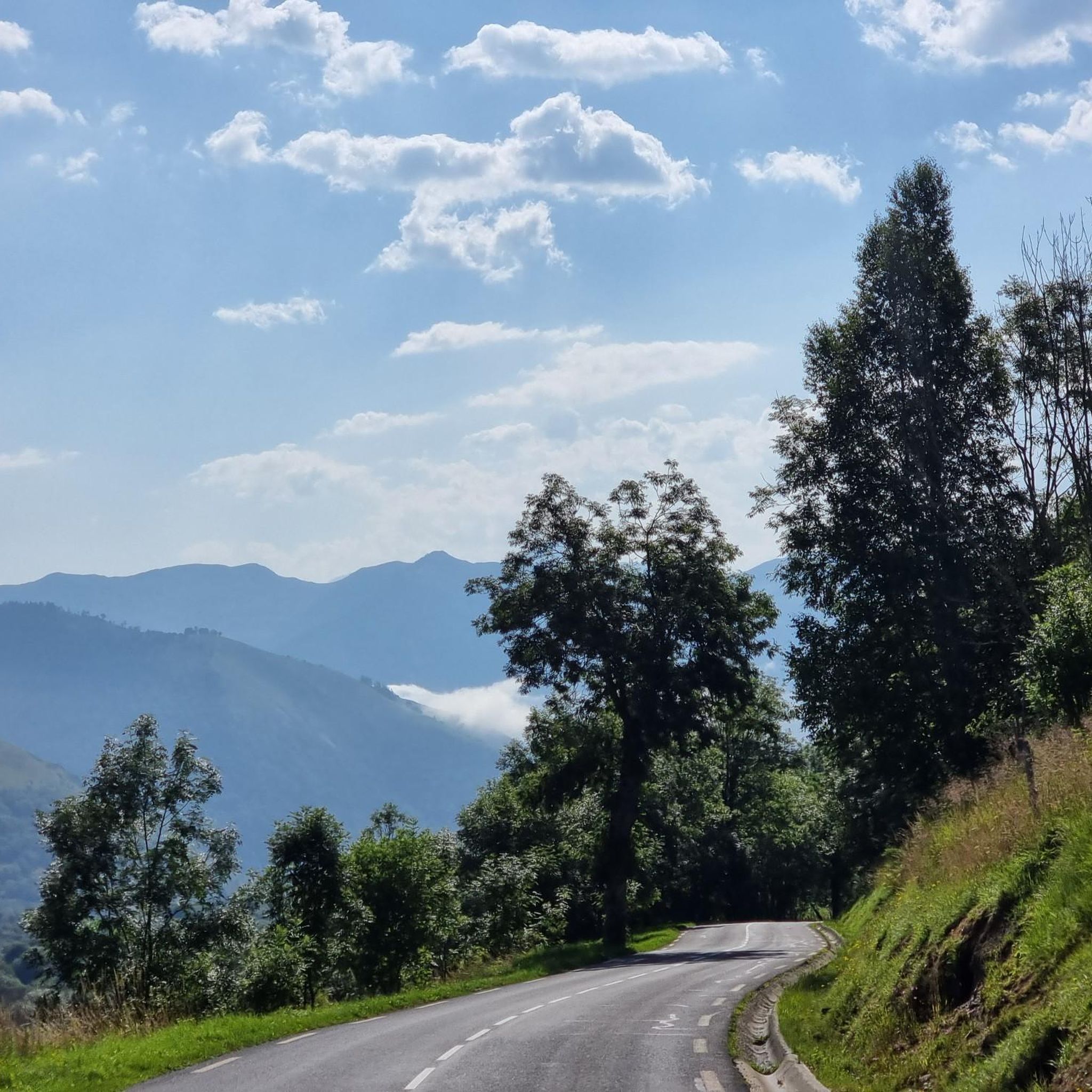
Beautiful bends with a really nice view of neighbouring Port de Bales
1
0
Beautiful climb up Col de Menté. Although not a really famous climb it is a beautiful one, with nice hairpins inside the forest and beautiful views at the end.
0
0
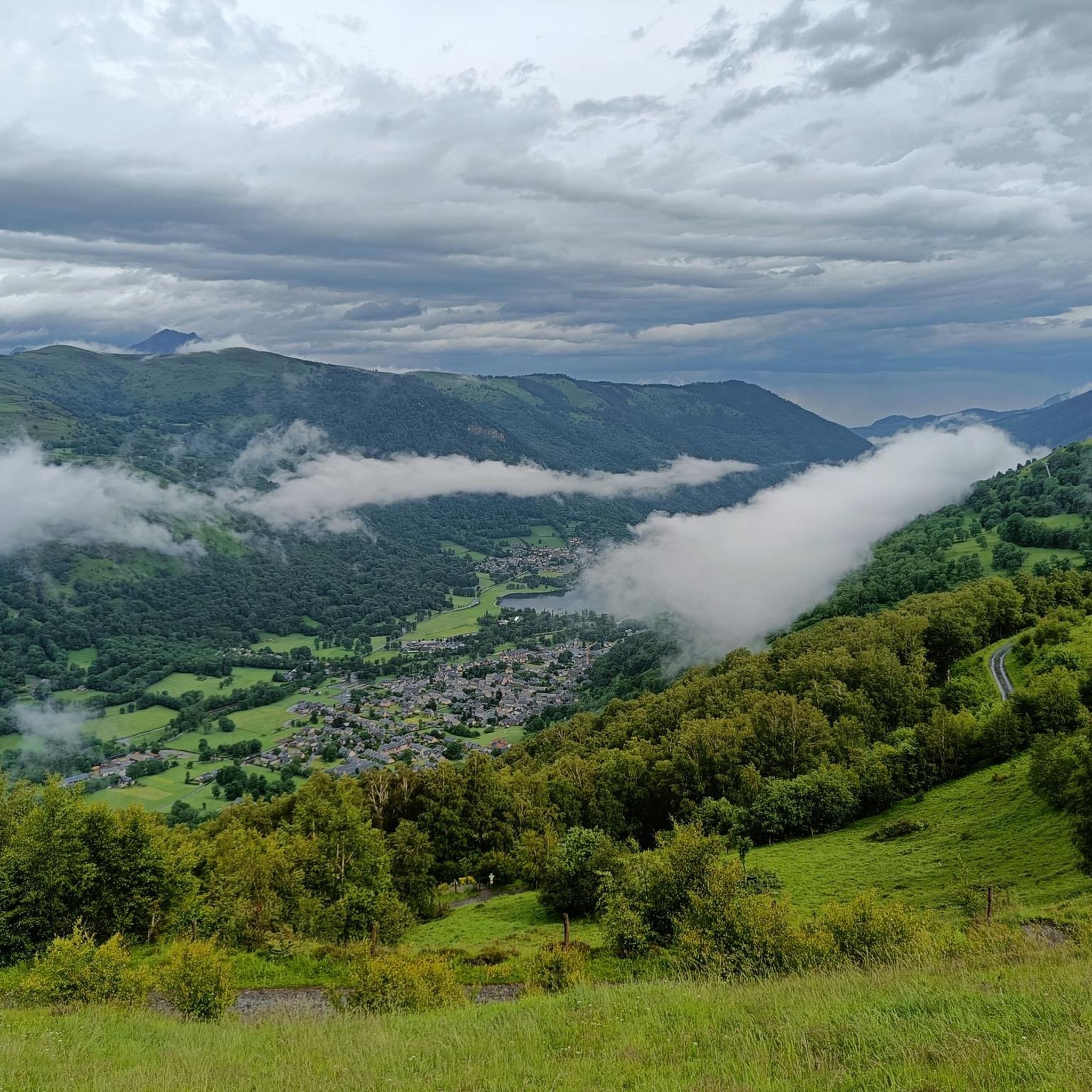
Beautiful views of Val Louron and over to the High Pyrenees from the Col
0
0

Pleasant and legendary climb used by the Tour de France
1
0

Frequently Asked Questions
How many road cycling routes are available in Garin?
There are 68 road cycling routes around Garin. These routes cater to various fitness levels, with 12 easy, 30 moderate, and 26 difficult options available.
What kind of terrain can I expect on road cycling routes in Garin?
Road cycling around Garin is characterized by mountainous terrain, featuring numerous passes and significant elevation changes. You can expect winding ascents and descents, often with panoramic views. While many routes are well-paved, some segments might be unpaved and more challenging, particularly on fire roads in the regional park.
Are there routes suitable for beginners or those seeking an easier ride?
Yes, Garin offers 12 easy road cycling routes. These routes are generally shorter and have less elevation gain, making them suitable for any fitness level. The Alameda Creek Trail, for example, offers a smooth, paved ride along the creek, which is a good option for a more relaxed experience.
What are some of the most challenging road cycling routes in Garin?
Garin is known for its challenging routes with significant elevation changes. Notable difficult routes include the Menté Pass – Menté Pass loop from Poubeau, which is 78.0 miles (125.6 km) long with over 3,200 meters of elevation gain, and the Lacets de Peyresourde – Arreau loop from Caubous, covering 116.2 km with over 3,600 meters of climbing.
What scenic views or landmarks can I see while road cycling in Garin?
The region offers impressive views, including those of downtown San Francisco and Mount Tamalpais from the first row of hills overlooking the East Bay. You can also see picturesque rock clusters and, during spring and late winter, gorgeous green landscapes. The historic Niles Canyon Railway is another attraction nearby. For specific landmarks, consider visiting Peyresourde Pass or Col de Val Louron-Azet.
Are there any waterfalls accessible from the road cycling routes?
While the immediate road cycling routes might not pass directly by waterfalls, the Garin area has several beautiful ones. You could consider a detour to see Cascade d'Enfer, Juzet-de-Luchon Waterfall, or Sidonie Waterfall. The Trail from Granges d'Astau to Lac d'Oô and the Waterfall is also a popular highlight.
When is the best time of year to go road cycling in Garin?
The hills around Garin transform into a gorgeous green landscape during the spring and late winter months, offering particularly picturesque scenery. While much of the year the hills are covered in straw-colored grass, these greener periods can be very appealing. Be mindful that tree cover is limited, so consider sun exposure during warmer months.
Is Garin Regional Park suitable for family road cycling?
Yes, Garin Regional Park offers routes suitable for families, especially those seeking easier, well-paved surfaces. The Alameda Creek Trail, for instance, provides a smooth ride along the creek, which is ideal for family outings. Always check the specific route details for difficulty and terrain to ensure it matches your family's fitness level.
Where can I find parking for road cycling routes in Garin?
Many routes in Garin are accessible from areas like South Hayward, which provides convenient starting points and parking options. It's advisable to check specific route descriptions on komoot for recommended parking locations near your chosen starting point.
What do other cyclists say about road cycling in Garin?
The road cycling routes in Garin are highly rated by the komoot community, with an average score of 4.8 out of 5 stars from over 210 reviews. Cyclists often praise the challenging climbs, panoramic views of the surrounding peaks, and the rugged natural features that define the region's demanding cycling environment.
Are there any long-distance road cycling options in the Garin area?
Yes, Garin offers several long-distance road cycling routes for experienced cyclists. The Menté Pass – Menté Pass loop from Poubeau is a significant challenge at 78.0 miles (125.6 km), involving substantial elevation gains. Another option is the Col d'Aspin – Peyresourde Pass loop from Poubeau, which is 73.2 km long.
What are the typical elevation gains on Garin's road cycling routes?
Garin's road cycling routes are known for significant elevation changes. Even a moderate route can involve over 1,000 feet of elevation, while more challenging routes, such as the Menté Pass – Menté Pass loop from Poubeau, can feature over 3,200 meters (10,000 feet) of climbing. Cyclists should be prepared for demanding ascents.
Most popular attractions around Garin

Get inspired with the komoot mobile app


Explore more
Browse the best Road cycling routes in other regions.
