The best road cycling routes around Forest Kohlhaukuppe
4.3
(124)
2,223
riders
78
rides
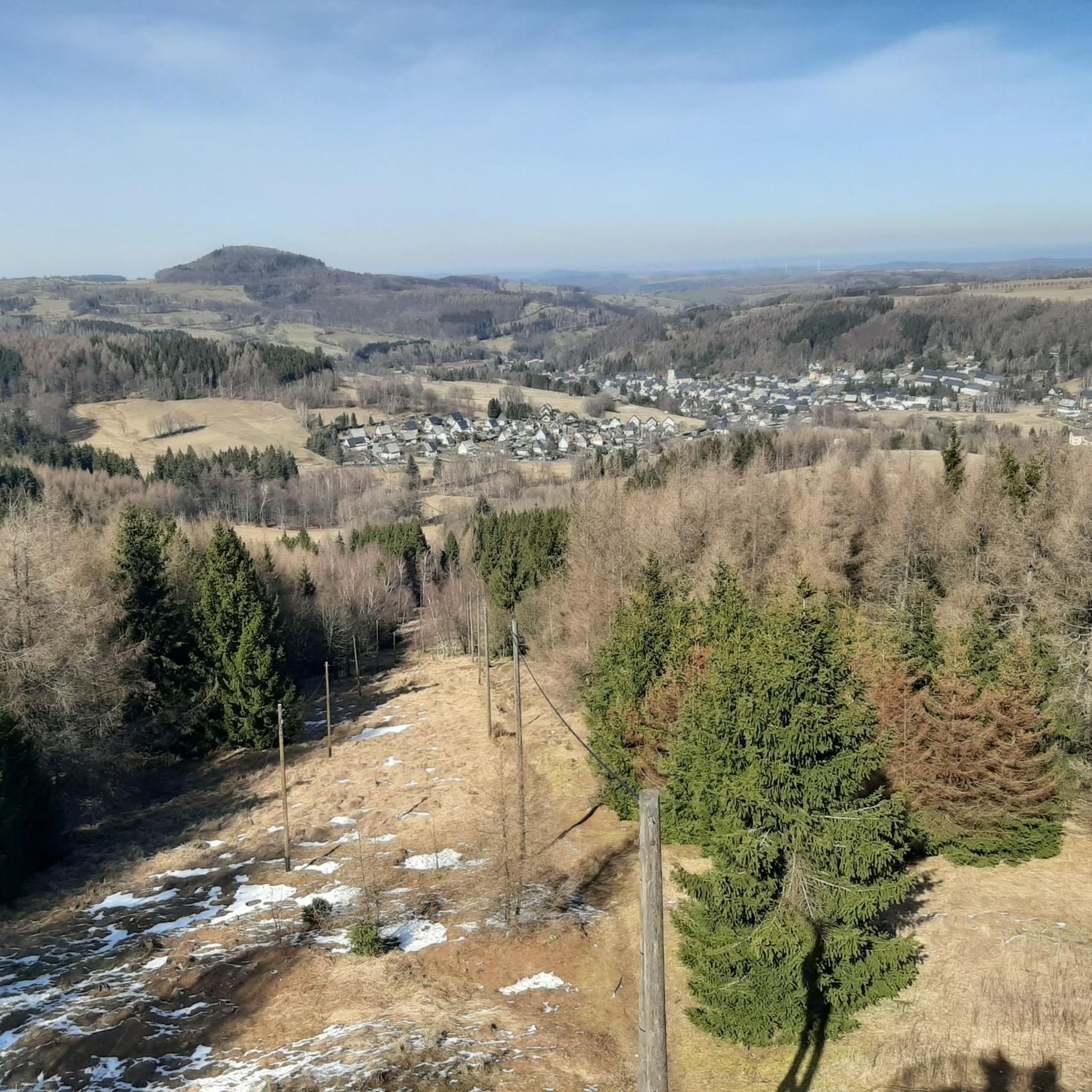
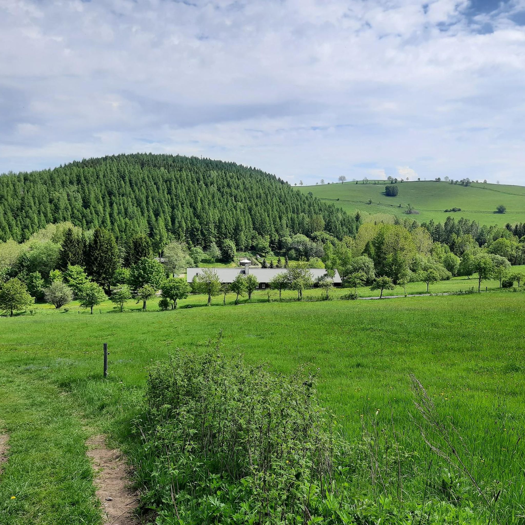
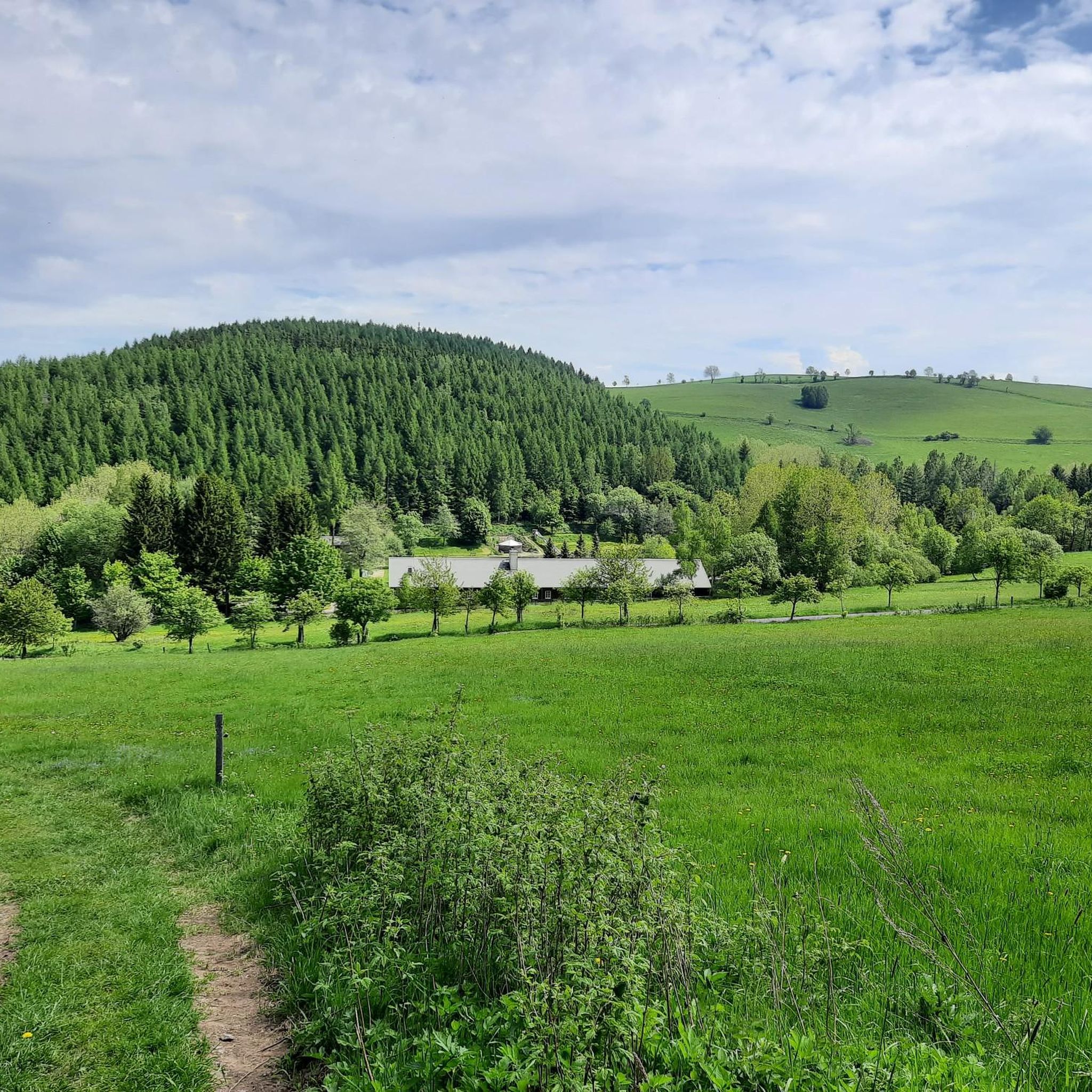
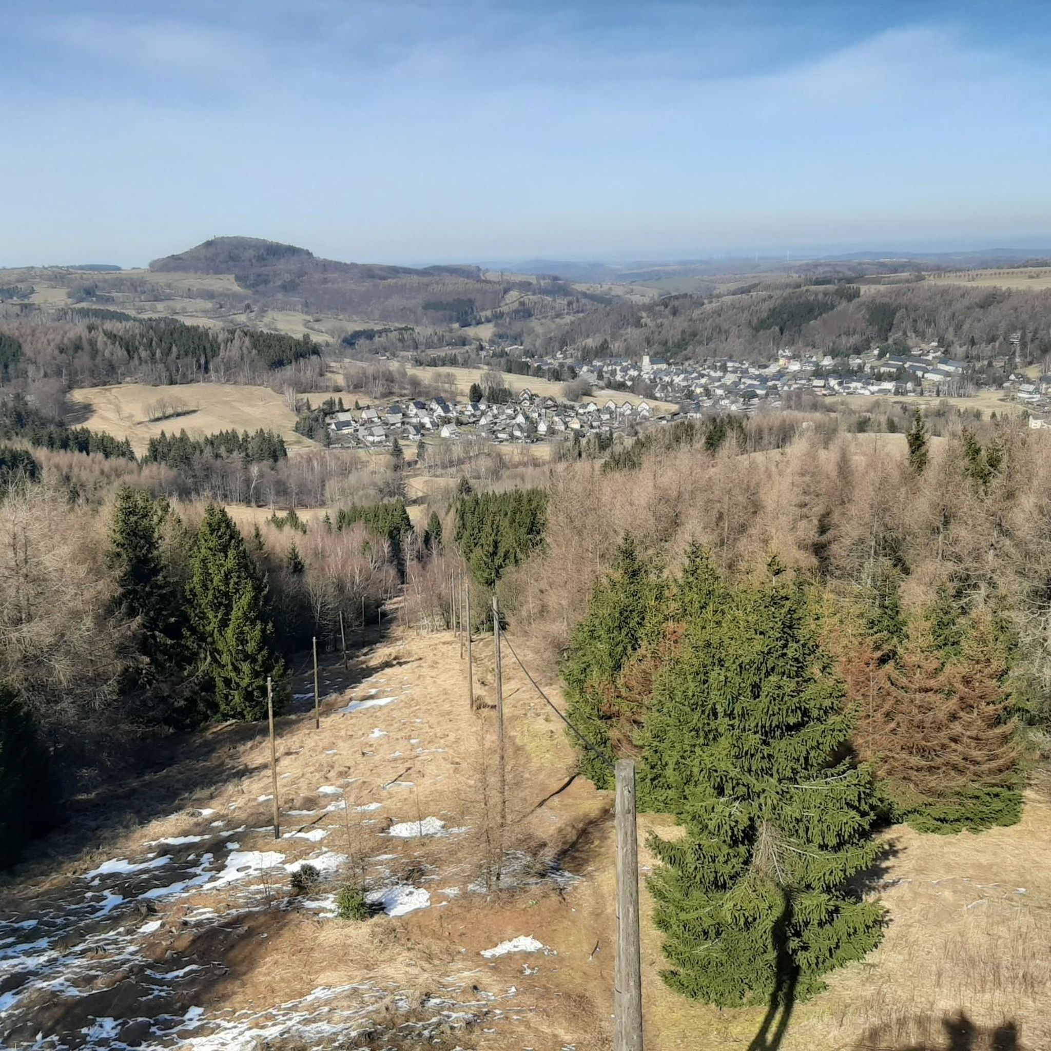
Road cycling routes around Forest Kohlhaukuppe traverse the Eastern Ore Mountains in Saxony, Germany, offering a blend of challenging terrain and scenic beauty. The region is characterized by its forested landscape, with an asphalt forest road leading to the 786-meter Kohlhaukuppe summit. Ascents from various directions are notably steep, providing a demanding experience for road cyclists. Panoramic views from the summit observation tower extend across both German and Czech sides of the Ore Mountains.
Best road cycling routes around Forest…
Last updated: July 11, 2026
4.7
(3)
41
riders
152km
07:31
2,310m
2,310m
Hard road ride. Very good fitness required. Mostly well-paved surfaces and easy to ride.
5.0
(3)
15
riders
31.6km
01:40
520m
520m
Moderate road ride. Good fitness required. Some segments of this route may be unpaved and difficult to ride.

Sign up for free
4.4
(5)
11
riders
33.6km
01:44
550m
550m
Moderate road ride. Good fitness required. Mostly well-paved surfaces and easy to ride.
8
riders
73.4km
03:56
1,290m
1,290m
Hard road ride. Very good fitness required. Some segments of this route may be unpaved and difficult to ride.
8
riders
31.7km
01:37
540m
540m
Moderate road ride. Good fitness required. Mostly well-paved surfaces and easy to ride.
Get access to more routes and recommendations from other explorers.
Sign up for free
Already have an account?
Our route recommendations are based on thousands of hikes, rides, and runs completed by other people on komoot.
Start today with a free account
Your next adventure awaits.
Login or Signup
Tips from the Community

Asphalt has just been renewed. The finest 👍
0
0

Down in the valley, signs indicate 17%, which may also be correct - selecting the right gear at the start makes it easier to get going and saves the material. The first third is steep, the rest drags on considerably - highly recommended
0
0

Börnchen is relatively small, but quite pretty. Besides the country inn, the village fountain and the milk ramp, there are also some very nice little houses and beautifully designed front gardens.
0
1

One of the most beautiful sections of the Stoneman Miriquidi Road: a quiet, flat stretch, hardly any traffic, and warm autumnal air. The alternating light and shade make the ride a pleasure—a section that simply stays with you.
2
0
A small but beautiful section on the Stoneman Miriquidi Road: The S216 between Kühnhaide and Rübenau is quiet, ideal for rolling and taking a breather.
0
0
A dream on a road bike in late summer: warm air, clear visibility, and the expansive view over the dam. One of my favorite sections of the Stoneman Miriquidi Road!
2
0

Frequently Asked Questions
How many road cycling routes are available around Forest Kohlhaukuppe?
There are over 80 road cycling routes available around Forest Kohlhaukuppe, catering to various skill levels. This includes 4 easy, 40 moderate, and 37 difficult routes, ensuring options for every road cyclist.
What is the general difficulty level of road cycling routes in Forest Kohlhaukuppe?
Road cycling around Forest Kohlhaukuppe is known for its challenging ascents, especially to the summit of Kohlhaukuppe. While there are moderate options like the View of Geising – Mückenberg Cycle Path loop from Geising, many routes, such as the Rauschenbach Reservoir – Rauschenbach Dam loop from Geising, are classified as difficult, requiring a good level of fitness.
Are there any long-distance road cycling tours in the area?
Yes, for those seeking extensive rides, the region offers longer routes. A notable option is the Rauschenbach Reservoir – Rauschenbach Dam loop from Geising, which spans over 150 kilometers and features significant elevation gain, providing a full day's challenge.
What kind of landscapes can I expect while road cycling around Forest Kohlhaukuppe?
You can expect a blend of challenging terrain and scenic beauty. The region is characterized by beautiful forested paths and an asphalt forest road leading to the summit. Panoramic views from elevated points, stretching across both the German and Czech sides of the Ore Mountains, are a highlight.
What can I see or visit along the road cycling routes?
Along your rides, you can explore several interesting points. The summit of Kohlhaukuppe features the Kohlhaukuppe Summit Hut and Observation Tower, offering breathtaking panoramic views. You might also encounter the Anton Günther Monument. The rustic 'Knoblauchkuppe' mountain lodge at the summit is also a unique attraction.
Are there any family-friendly road cycling options in the Forest Kohlhaukuppe area?
While many routes feature challenging ascents, there are moderate options suitable for families with older children or those looking for a less strenuous ride. The North Ascent to Börnchen – Old Road Geising–Löwenhain loop from Geising, for example, is a moderate route that leads through forested areas.
Where can I park my car when starting a road cycling tour?
Parking is available at the Hüttenteich pond in Geising. From there, the summit of Kohlhaukuppe is accessible only on foot or by bike, making it a convenient starting point for your road cycling adventure.
What do other road cyclists enjoy most about the routes in Forest Kohlhaukuppe?
The area is highly rated by the komoot community, with an average score of 4.3 stars from over 100 reviews. Reviewers often praise the challenging ascents, the stunning panoramic views from the Kohlhaukuppe summit, and the serene forested environment that defines the region's road cycling experience.
Are there any circular road cycling routes available?
Yes, many of the road cycling routes around Forest Kohlhaukuppe are designed as loops, allowing you to start and end at the same point. Examples include the View of Geising – Mückenberg Cycle Path loop from Geising and the Old Road Geising–Löwenhain – Ascent to Hohen Schneeberg loop from Geising.
Is there a place to eat or refuel after a ride near the summit?
Absolutely! At the summit of Kohlhaukuppe, you'll find the rustic 'Knoblauchkuppe' mountain lodge. It's famous for its distinctive garlic-infused cuisine, offering a unique culinary experience and a perfect reward after a strenuous ride. The lodge is generally open from Wednesday to Sunday.
What is the best season for road biking around Forest Kohlhaukuppe?
The region is generally best enjoyed for road cycling during the warmer months when the forest paths are clear and the weather is favorable for ascents. While the observation tower is accessible year-round, winter conditions can make some routes challenging due to snow and ice.
Most popular routes around Forest Kohlhaukuppe
Most popular attractions around Forest Kohlhaukuppe

Get inspired with the komoot mobile app


Explore more
Browse the best Road cycling routes in other regions.
