The best walks and hikes around Forest Kohlhaukuppe
4.7
(6987)
26,278
hikers
798
hikes
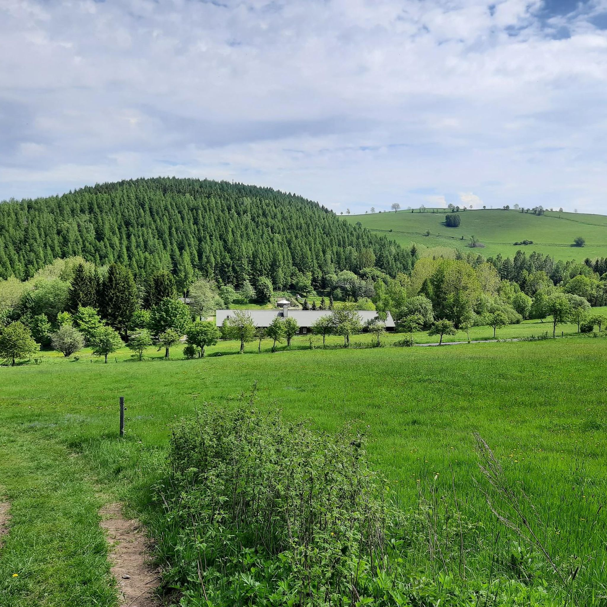
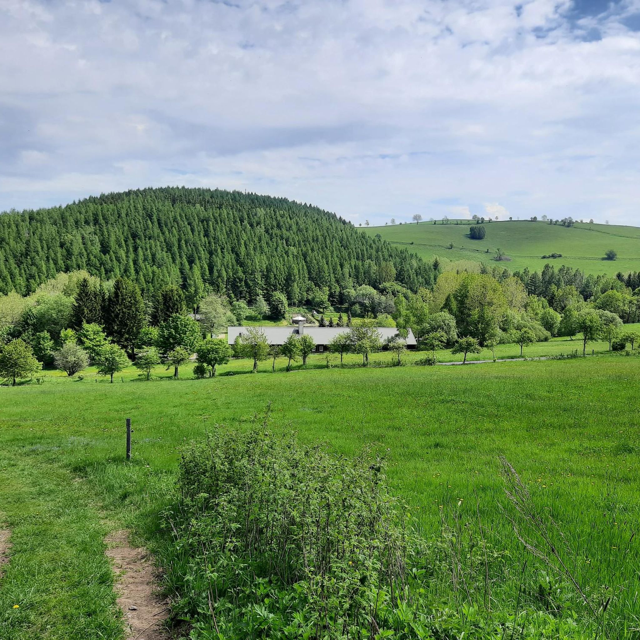
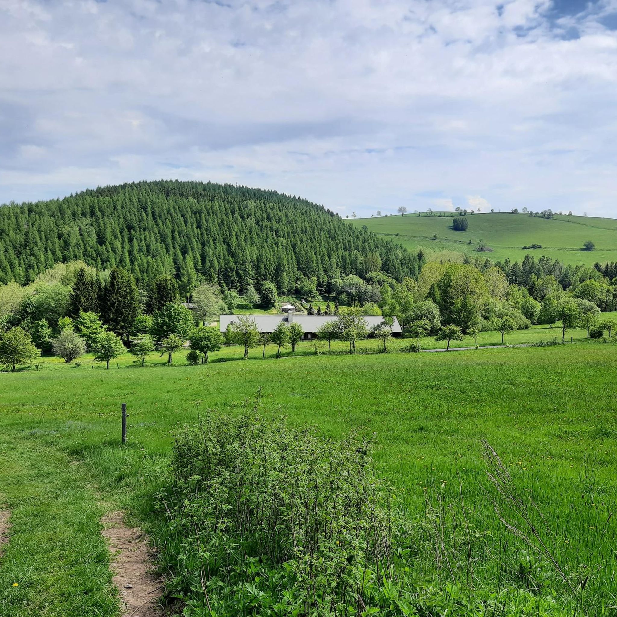
Hiking around Forest Kohlhaukuppe, located in the Eastern Ore Mountains near Geising, offers diverse trails through mountainous terrain. The region is characterized by dense forests and a prominent peak at 786 meters. Trails lead to panoramic viewpoints across both German and Czech landscapes, including landmarks like Geisingberg and Wilisch. The area provides a mix of well-maintained forest paths and steeper ascents.
Best hiking trails around Forest Kohlhaukuppe
- The most popular hiking route is Snow Depth Fence – The Little Water…
Last updated: June 28, 2026
4.8
(15)
57
hikers
12.3km
03:35
310m
310m
Moderate hike. Good fitness required. Easily-accessible paths. Suitable for all skill levels.
4.6
(27)
98
hikers
12.8km
03:41
300m
300m
Moderate hike. Good fitness required. Easily-accessible paths. Suitable for all skill levels.

Sign up for free
5.0
(6)
13
hikers
7.79km
02:13
170m
170m
Moderate hike. Good fitness required. Mostly accessible paths. Sure-footedness required.
5.0
(2)
17
hikers
2.98km
00:55
120m
120m
Easy hike. Great for any fitness level. Easily-accessible paths. Suitable for all skill levels.
5.0
(3)
6
hikers
7.82km
02:19
240m
240m
Moderate hike. Good fitness required. Easily-accessible paths. Suitable for all skill levels.
Get access to more routes and recommendations from other explorers.
Sign up for free
Already have an account?
Our route recommendations are based on thousands of hikes, rides, and runs completed by other people on komoot.
Start today with a free account
Your next adventure awaits.
Login or Signup
Tips from the Community


Very cute, you sit nicely protected
0
0

The corresponding stamping point including the 14x8000 sign is a bit further south ✌🏻
0
0

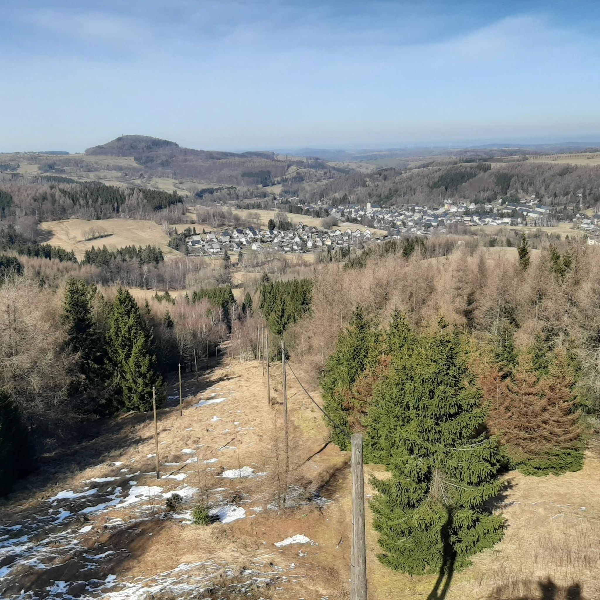
Beautiful panoramic view of the Eastern Ore Mountains. Little shade in midsummer.
0
0


Tiefenbach Waterfall near Altenberg. Information: Located at approximately 660 meters above sea level, it was artificially created in 1954. The stamp station is no longer located on-site due to two instances of theft. You can obtain a stamp at the tourist information office in Altenberg by presenting a photo from your visit to the waterfall.
2
0

Lonely, comfortable bench with a wonderful view. Ideal picnic spot in good weather.
0
0

Two short film contributions – each lasting just a quarter of an hour – will be presented as part of the ARD series "Classics of World Literature" by and with Tilman Spengler => Johann Wolfgang von GOETHE (1749 to 1832) and his work. Anyone who would like to find out more in the ARD media library just needs to follow the links: Episode -I- https://www.ardmediathek.de/video/klassiker-der-weltliteratur/johann-wolfgang-von-goethe-i/ard-alpha/Y3JpZDovL2JyLmRlL3ZpZGVvLzBmZDU4YzMzLTdmOGQtNGEzYy1hMTg1LWE3YmYyYjU1NWM0Ng Episode -II- https://www.ardmediathek.de/video/klassiker-der-weltliteratur/johann-wolfgang-von-goethe-ii/ard-alpha/Y3JpZDovL2JyLmRlL3ZpZGVvLzBmZDU4YzMzLTdmOGQtNGEzYy1hMTg1LWE3YmYyYjU1NWM0Ng
0
0
Frequently Asked Questions
How many hiking trails are available around Forest Kohlhaukuppe?
There are over 790 hiking routes in the Forest Kohlhaukuppe region, offering a wide variety of options for different skill levels and preferences. You'll find everything from easy forest paths to more challenging ascents.
What kind of terrain can I expect when hiking in Forest Kohlhaukuppe?
The terrain around Forest Kohlhaukuppe is primarily mountainous, characterized by dense forests. While there are well-maintained forest paths, many routes, especially those leading to the summit, involve relatively steep ascents. The highest point, Kohlhaukuppe, stands at 786 meters.
Are there any easy hiking options for beginners or those looking for a relaxed walk?
Yes, the region offers over 330 easy routes. For a shorter, less strenuous option, consider the Rest area below the summit loop from Geising, which is about 2.9 km long and takes just over 50 minutes.
What are the best viewpoints or natural features to see while hiking?
The summit of Kohlhaukuppe is a major highlight, offering breathtaking panoramic views from its observation tower across both the German and Czech sides of the Ore Mountains. You can see landmarks like Geisingberg and Wilisch. The area also features the Georgenfeld moor and the Kahleberg, another peak with impressive vistas.
Are there any circular hiking routes in Forest Kohlhaukuppe?
Yes, many routes in the region are circular. For example, the popular Snow Depth Fence – The Little Water Wheel loop from Geising is a moderate 12.4 km circular trail. Another option is the View of Mückentürmchen – Traugott Hill loop from Geising, which is 12.8 km long.
Is Forest Kohlhaukuppe suitable for family hikes?
Yes, the region offers various trails suitable for families. With over 330 easy routes, you can find paths that are less challenging and enjoyable for all ages. The diverse forest paths provide a pleasant environment for family outings.
Are dogs allowed on the hiking trails in Forest Kohlhaukuppe?
Generally, dogs are welcome on the hiking trails in Forest Kohlhaukuppe. However, it's always advisable to keep them on a leash, especially in nature protection areas or when encountering wildlife, and to respect local regulations.
Where can I park when visiting Forest Kohlhaukuppe, and is public transport available?
A paid parking lot is available at the Hüttenteich pond in Geising. For those preferring public transport, Geising train station serves as a convenient starting point for the ascent to Kohlhaukuppe. From Geising or Zinnwald, it's typically a two to three-kilometer hike to the mountain peak.
What can I expect at the summit of Kohlhaukuppe?
At the summit, you'll find a steel observation tower offering extensive panoramic views. There's also the Kohlhaukuppe Summit Lodge (Bergbaude), famous for its garlic-infused cuisine, earning it the nickname 'Knoblauchkuppe' (garlic dome). The lodge is typically open from Wednesday to Sunday.
Are there any waterfalls to see on the trails?
Yes, some routes feature waterfalls. The Goethe Monument – Tiefenbach Waterfall loop from Geising is a 7.7 km trail that leads through forested areas and includes the Tiefenbach Waterfall.
What do other hikers enjoy most about hiking in Forest Kohlhaukuppe?
The area is highly rated by the komoot community, with an average score of 4.7 stars from over 6000 reviews. Hikers often praise the diverse forest terrain, the rewarding panoramic views from the summit, and the variety of trails catering to different fitness levels.
Are there any interesting landmarks or attractions near the hiking routes?
Beyond the summit's observation tower and lodge, you can explore other points of interest. The Kohlhaukuppe Summit Hut and Observation Tower is a key attraction. You might also encounter the Anton Günther Monument along some routes.
Most popular routes around Forest Kohlhaukuppe
Most popular attractions around Forest Kohlhaukuppe

Get inspired with the komoot mobile app


Explore more
Browse the best Hikes in other regions.
