Top 5 Mountain Passes around Saint-Martin-D'Entraunes
Best mountain passes around Saint-Martin-D'Entraunes are located in the Southern Alps, serving as a starting point for ascents to several notable mountain passes. This commune provides access to routes known for challenging climbs and diverse landscapes. The area features high mountain passes that connect different valleys, offering varied terrain for outdoor activities.
Best mountain passes around Saint-Martin-D'Entraunes
- The most popular mountain passes is Cayolle Pass, a mountain pass that culminates at more than 2,324 meters above sea level. It…
Last updated: October 13, 2026
Cayolle Pass
Highlight • Mountain Pass
Translated by Google •
Tip by

Champs Pass
Highlight • Viewpoint
Translated by Google •
Tip by

Sign up now to discover places like this
Get recommendations on the best single tracks, peaks, & plenty of other exciting outdoor places.
Climbing the Col de la Cayolle from Barcelonnette
Highlight (Segment) • Climb
There's a place to stop for refreshments just before the pass.
Translated by Google •
Tip by

Ascent of the Col de la Cayolle from Saint-Martin-d'Entraunes
Highlight (Segment) • Mountain Pass
Translated by Google •
Tip by
Col de la Cayolle Mountain Road
Highlight • Mountain Pass
The view is beautiful and the road is not busy.
Translated by Google •
Tip by
Start today with a free account
Your next adventure awaits.
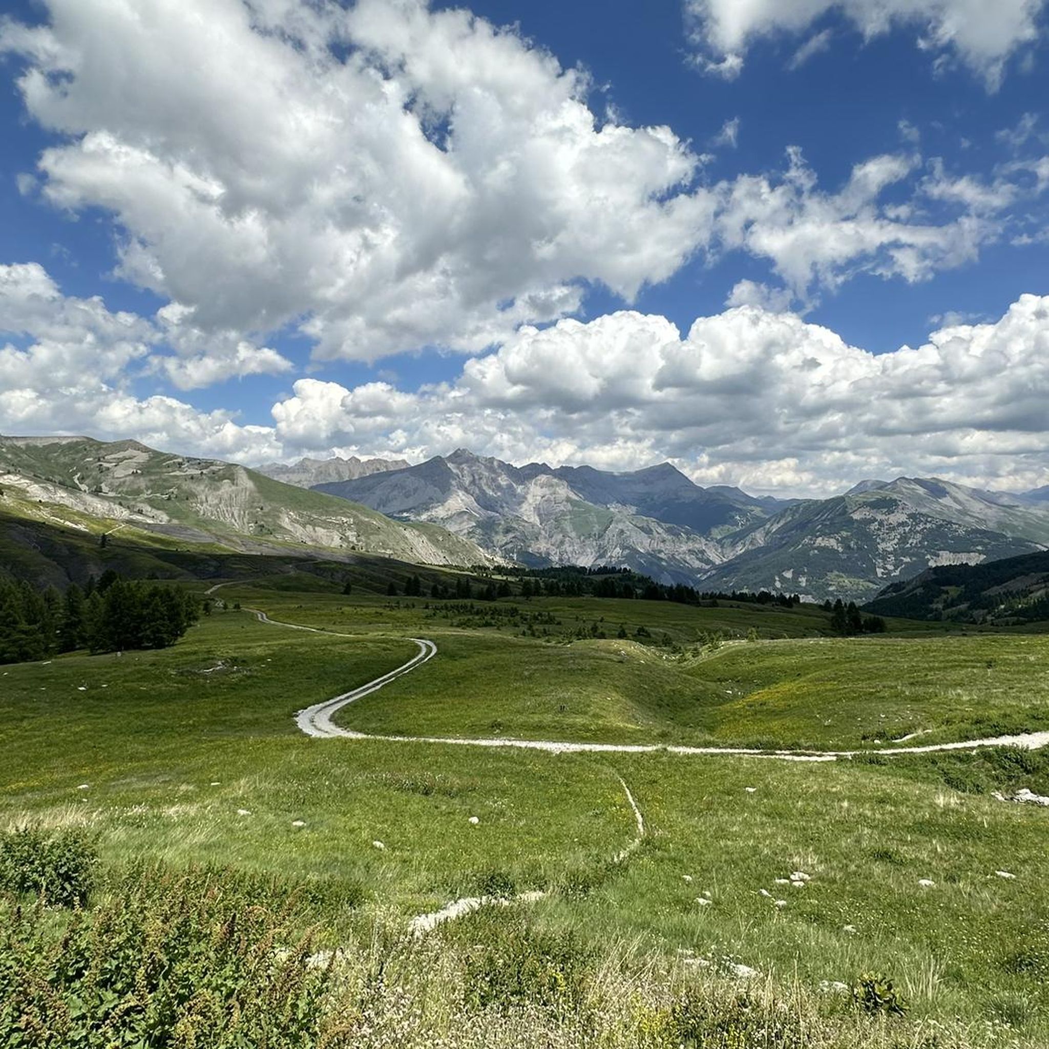
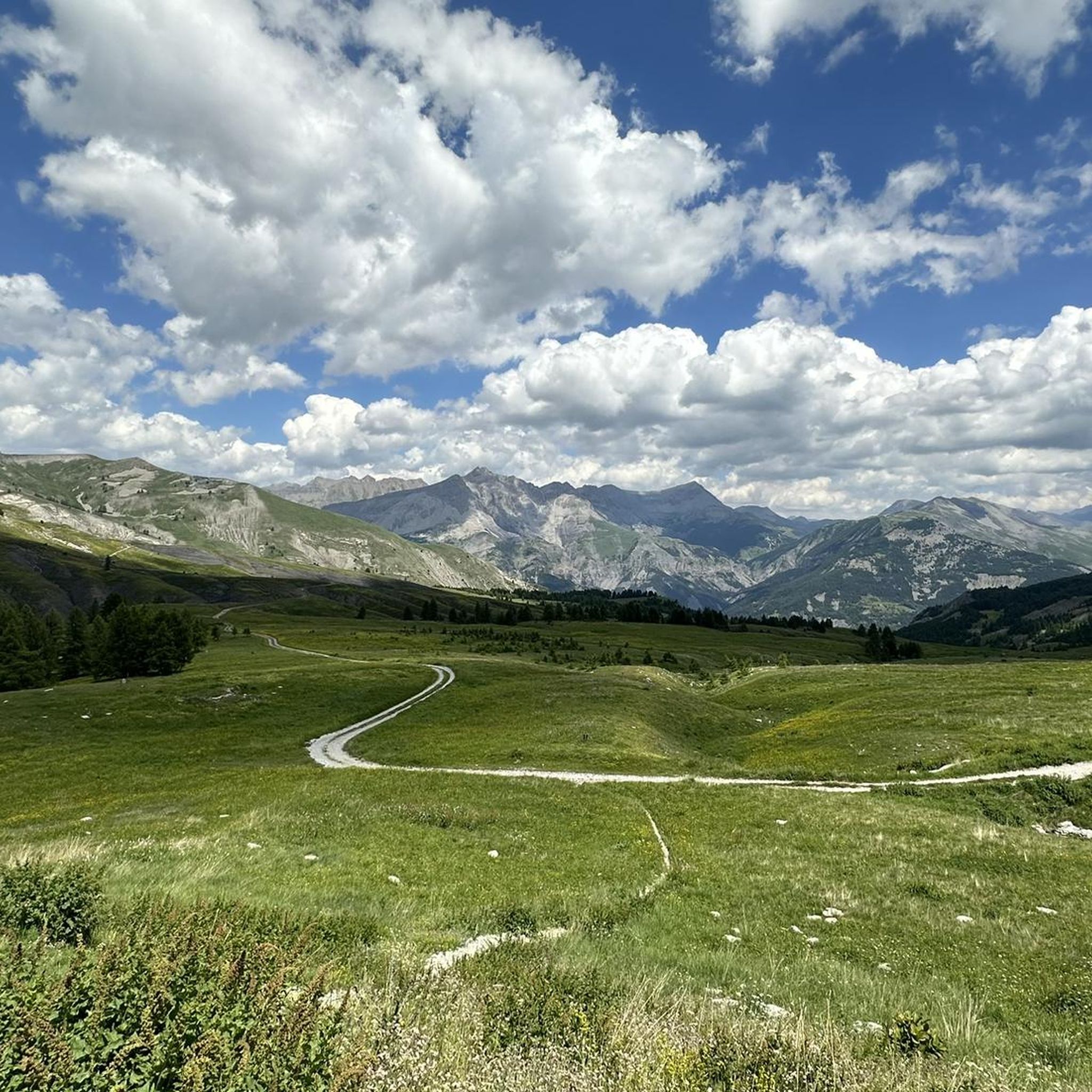
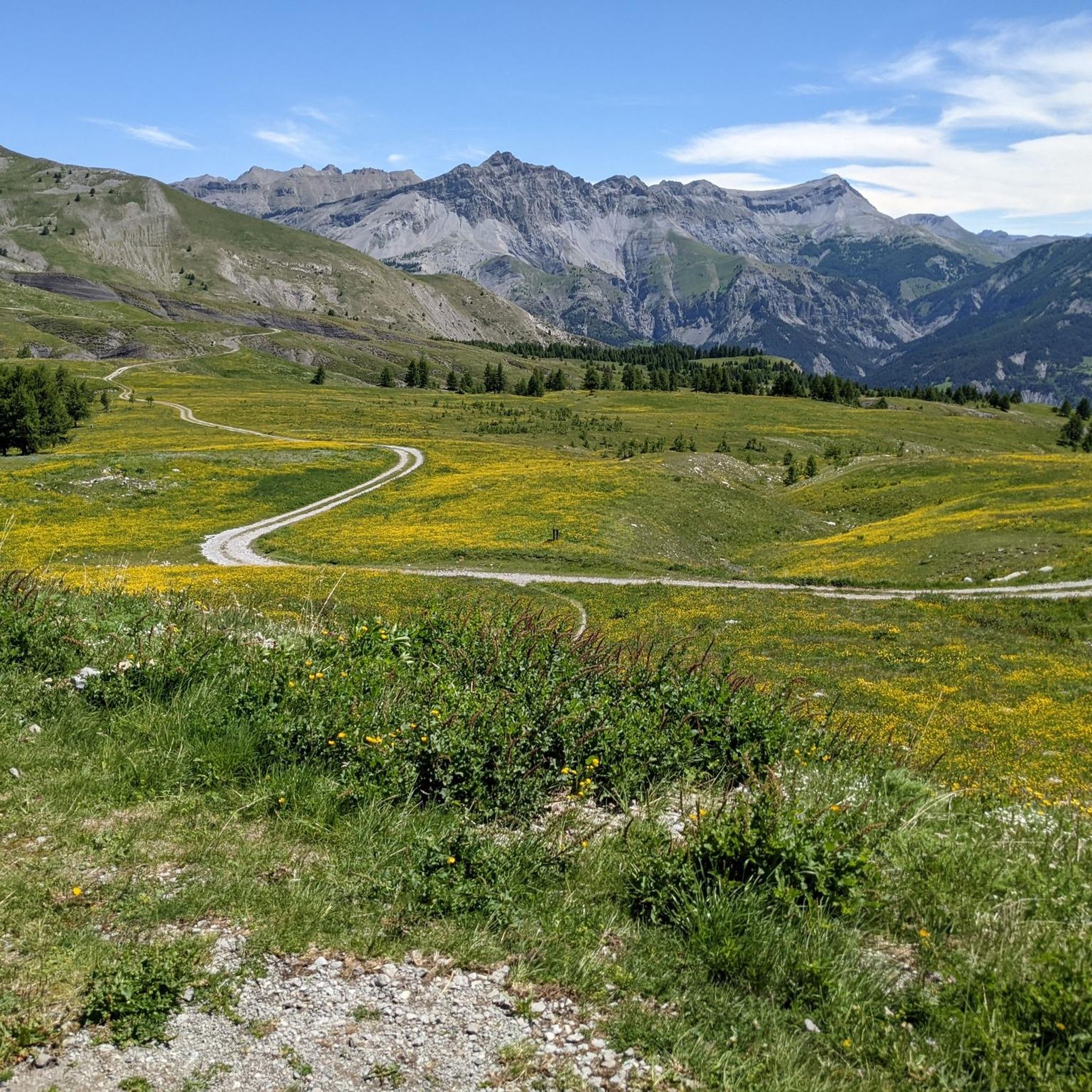
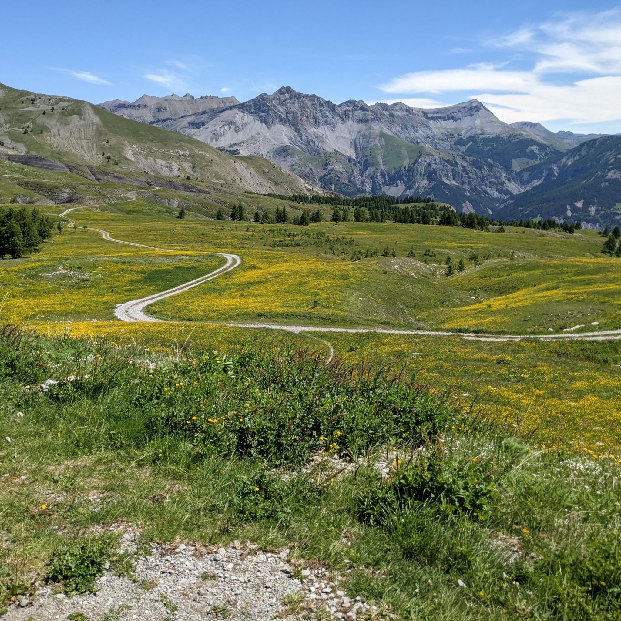
Tips from the Community

Here is the route for the ascent of the Col de la Cayolle starting from Barcelonnette.
1
0

The Col de la Cayolle is a mountain pass in the Southern Alps of France, located at an altitude of 2,324 meters, east of Mont Pelat (3,051 m). It crosses a watershed between the Alpes-Maritimes and Alpes-de-Haute-Provence departments. It is open for six to seven months of the year and thus allows travel between the Ubaye Valley to the north, via the Bachelard Valley, and the Var Valley to the south. It is not cleared of snow from December to May and is then closed to all traffic.
0
0

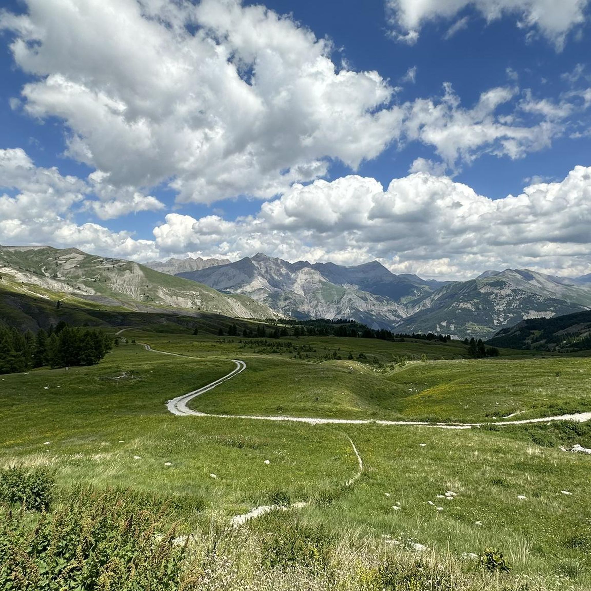
The French Alps offer unforgettable views.
14
0

The Col de la Cayolle deserves to be better known. From Saint-Martin-d'Entraunes, the climb is magnificent, spanning 20 kilometers at an average gradient of 6.3%. A magnificent hors catégorie climb at an altitude of 2,324 meters.
3
0

One of the most beautiful climbs on a low-traffic road.
0
0
Gorgeous pass with very little traffic and perfect asphalt.
18
0
A long climb but never too difficult, the views are stunning.
17
0
Very long climb with wonderful views.
16
0
Frequently Asked Questions
What are the most notable mountain passes near Saint-Martin-D'Entraunes?
Saint-Martin-D'Entraunes serves as a gateway to several prominent mountain passes. The most notable include the Cayolle Pass, known for its remarkable panorama and quiet roads, the Champs Pass, appreciated for its wild beauty and challenging cycling routes, and the Col d'Allos, a classic Tour de France climb offering panoramic views.
What natural features can I expect to see when visiting these mountain passes?
The mountain passes near Saint-Martin-D'Entraunes offer diverse natural beauty. The Cayolle Pass and Col d'Allos are situated within the Mercantour National Park, where you can spot abundant fauna like marmots and diverse flora. The Champs Pass features vast mountain pastures, diverse flora, and spectacular views of peaks like Roche Grande and Aiguilles de Pelens.
Are there opportunities for wildlife spotting on the mountain passes?
Yes, wildlife spotting is a highlight, especially around the Cayolle Pass and Col d'Allos, both of which traverse the Mercantour National Park. Marmots are a common sight, and you might also encounter sheep or cows grazing in the high pastures.
What is the best time of year to visit the mountain passes around Saint-Martin-D'Entraunes?
The mountain passes are generally open for six to seven months of the year, typically from late spring to early autumn. During summer months (June to October), the high pastures are excellent for livestock, and the weather is usually favorable for cycling and hiking. Roads are closed due to snow from December to May.
What kind of cycling experiences do these passes offer?
The passes are renowned for challenging cycling routes. The Champs Pass is part of a popular cycling loop that includes the Col de la Cayolle and Col d'Allos. The Col d'Allos has been crossed 34 times by Tour de France riders and is often reserved for bicycles on Friday mornings in July and August, making it particularly bike-friendly. The southern ascent of the Cayolle Pass from Saint-Martin-D'Entraunes is a challenging 20 km climb with an average slope of 6.5%.
Are there hiking trails near the mountain passes?
Yes, the region offers numerous hiking opportunities. For example, the Col d'Allos provides excellent access to hiking trails within the Mercantour National Park, including routes to sights like Lac d'Allos. You can find various hiking routes, from easy to difficult, around the area. Explore more options on the Hiking around Saint-Martin-D'Entraunes guide.
What other outdoor activities can I do near these mountain passes?
Beyond cycling and hiking, the area around Saint-Martin-D'Entraunes offers diverse outdoor activities. You can find challenging mountain biking trails, such as the 'Col des Champs and the gray lands' loop, or various running trails like 'L'Autapie loop'. For more details, check out the MTB Trails around Saint-Martin-D'Entraunes and Running Trails around Saint-Martin-D'Entraunes guides.
What is the historical significance of the mountain passes?
The Col de la Cayolle has historical significance, with its road construction completed in 1914 for military reasons. The Col d'Allos has a long history, being open since 1891 and famously crossed by Tour de France riders many times since 1911, making it a legendary route in cycling history.
Is the Col de la Petite Cayolle worth visiting?
The Col de la Petite Cayolle is a mountain pass and viewpoint located about a 45-minute walk from the Col de la Cayolle car park. It offers a good path in favorable weather conditions and provides additional scenic views, making it a worthwhile extension to a visit to the main pass.
What are the road conditions like on these mountain passes?
Road conditions are generally good on passes like the Champs Pass, which is noted for its perfect asphalt. However, some roads, particularly on the Col d'Allos, can be narrow in places and require careful driving. The roads are typically closed from December to May due to snow.
What makes the Col des Champs unique?
The Col des Champs is unique for its wild and beautiful character. It features a vast mountain pasture dominated by the Dent du Lièvre. Cyclists particularly appreciate the challenging climbs and the 'splendid' finale, emerging from the forest into an almost mineral landscape with spectacular views of surrounding peaks.
What are the elevation gains for the main passes from Saint-Martin-D'Entraunes?
From Saint-Martin-D'Entraunes, the ascent to the Col des Champs is approximately 16.3 km long with an average gradient of 7%, gaining 1,069 meters in elevation. The southern ascent to the Col de la Cayolle from Saint-Martin-D'Entraunes covers over 20 kilometers with a 1,291-meter elevation gain at an average slope of 6.5%.
Most popular routes around Saint-Martin-D'Entraunes
Most popular attractions around Saint-Martin-D'Entraunes

Get inspired with the komoot mobile app


Explore more
See even more epic mountain passes by checking out these guides around Saint-Martin-D'Entraunes:
