Saint-Martin-D'Entraunes
Saint-Martin-D'Entraunes
The best cycling routes around Saint-Martin-D'Entraunes
4.7
(60)
2,477
riders
47
rides
Touring cycling around Saint-Martin-D'Entraunes offers routes through a mountainous landscape characterized by significant elevation changes and alpine passes. The region features challenging climbs and descents, with routes often traversing high-altitude terrain. This area is defined by its rugged natural environment, providing a demanding experience for touring cyclists.
Best touring cycling routes around Saint-Martin-D'Entraunes
- The most popular touring cycling route is Col des Champs from Colmars, a 15.2 miles (24.5 km) trail that takes 2 hours 6 minutes to complete.…
Last updated: July 9, 2026
4.5
(6)
517
riders
122km
09:39
3,440m
3,440m
Hard bike ride. Very good fitness required. Mostly paved surfaces. Suitable for all skill levels.
162
riders
33.8km
02:55
1,140m
1,140m
Hard bike ride. Very good fitness required. Mostly paved surfaces. Suitable for all skill levels.

Sign up for free
26
riders
18.8km
01:40
690m
690m
Hard bike ride. Very good fitness required. Mostly paved surfaces. Suitable for all skill levels.
5.0
(1)
23
riders
57.3km
04:53
2,000m
2,000m
Hard bike ride. Very good fitness required. Mostly paved surfaces. Suitable for all skill levels.
3.0
(2)
19
riders
41.0km
02:40
390m
390m
Moderate bike ride. Good fitness required. Mostly paved surfaces. Suitable for all skill levels.
Get access to more routes and recommendations from other explorers.
Sign up for free
Already have an account?
Our route recommendations are based on thousands of hikes, rides, and runs completed by other people on komoot.
Start today with a free account
Your next adventure awaits.
Login or Signup
Tips from the Community

Very nice house with good food, which can also be reached by car via the D908 (except in winter).
1
0

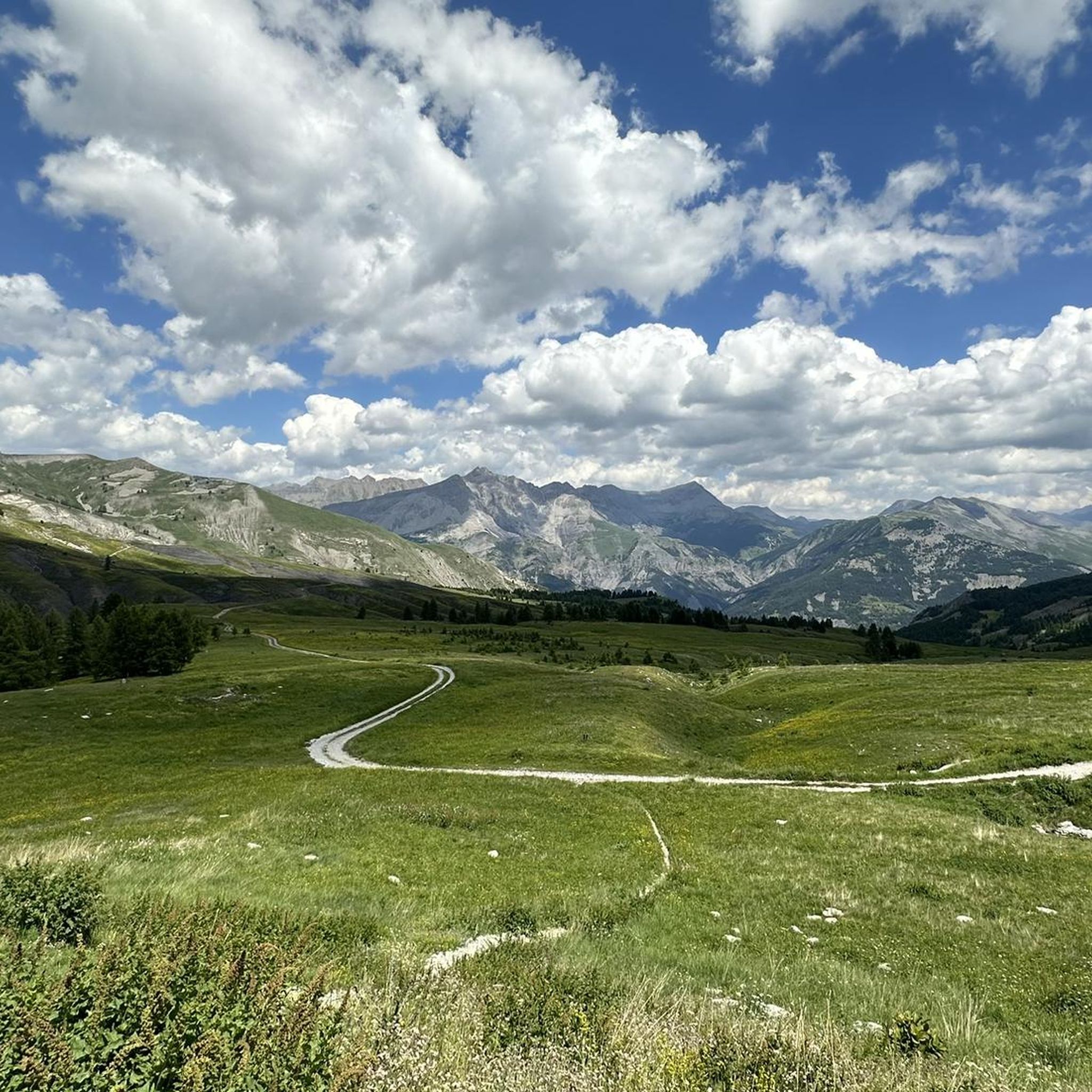
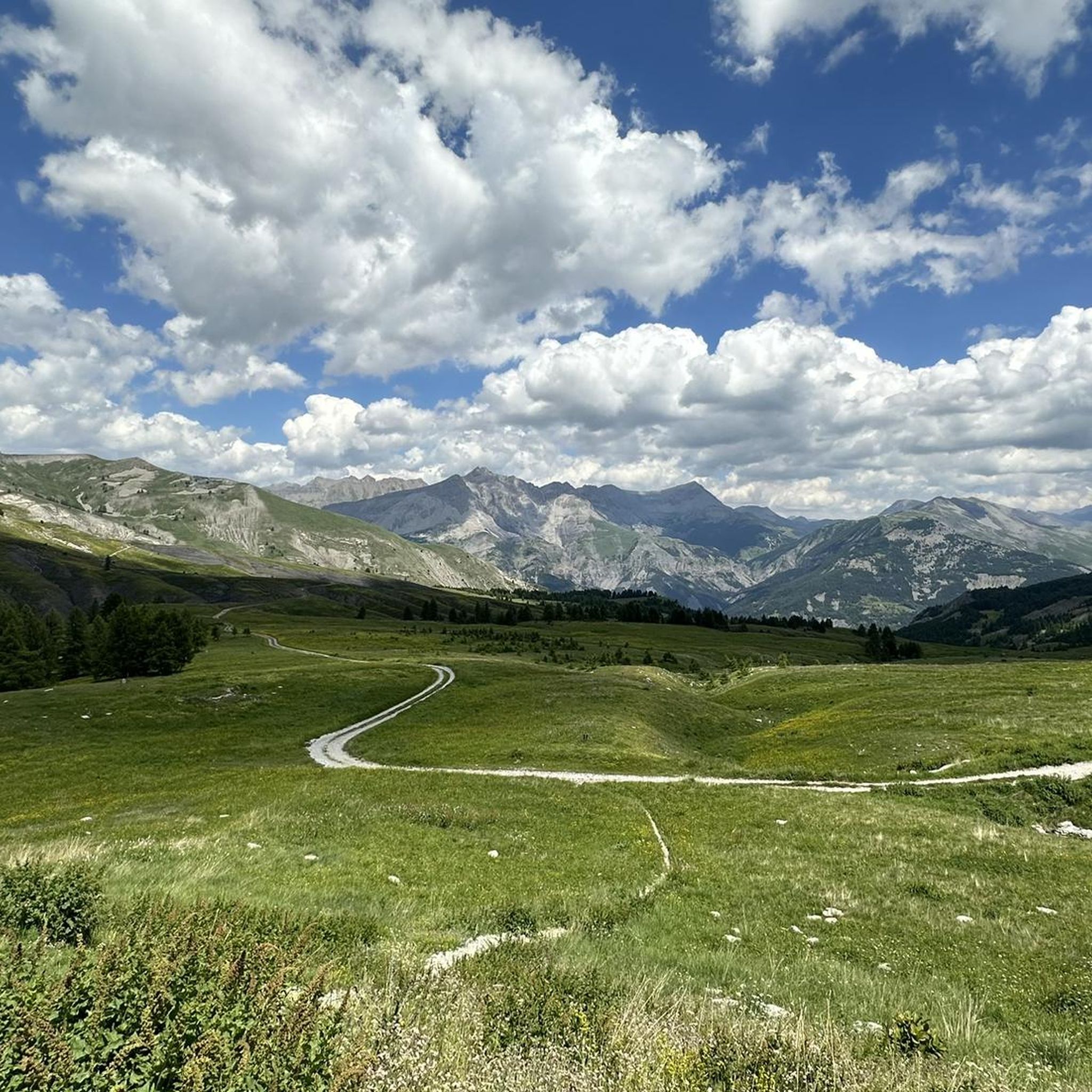
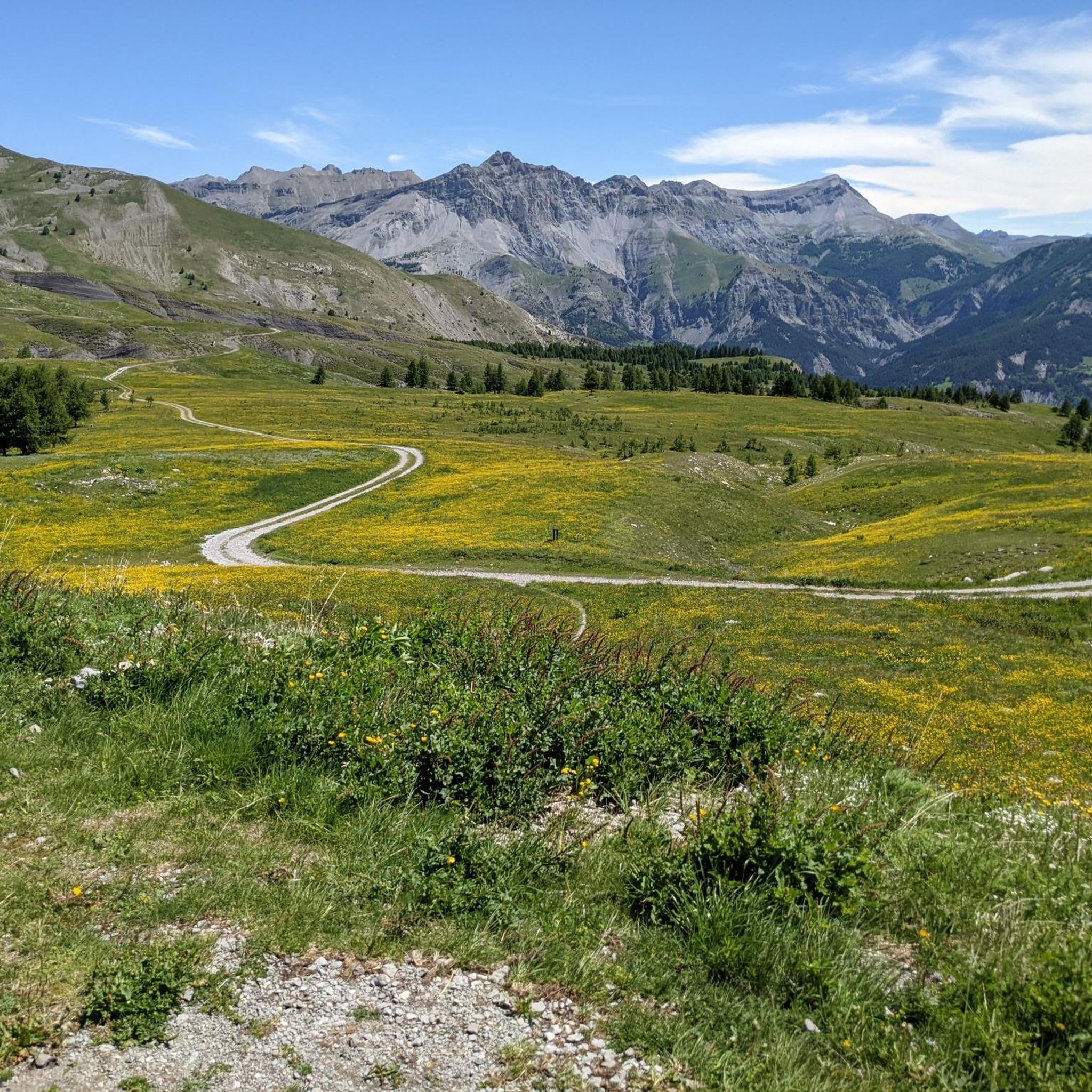
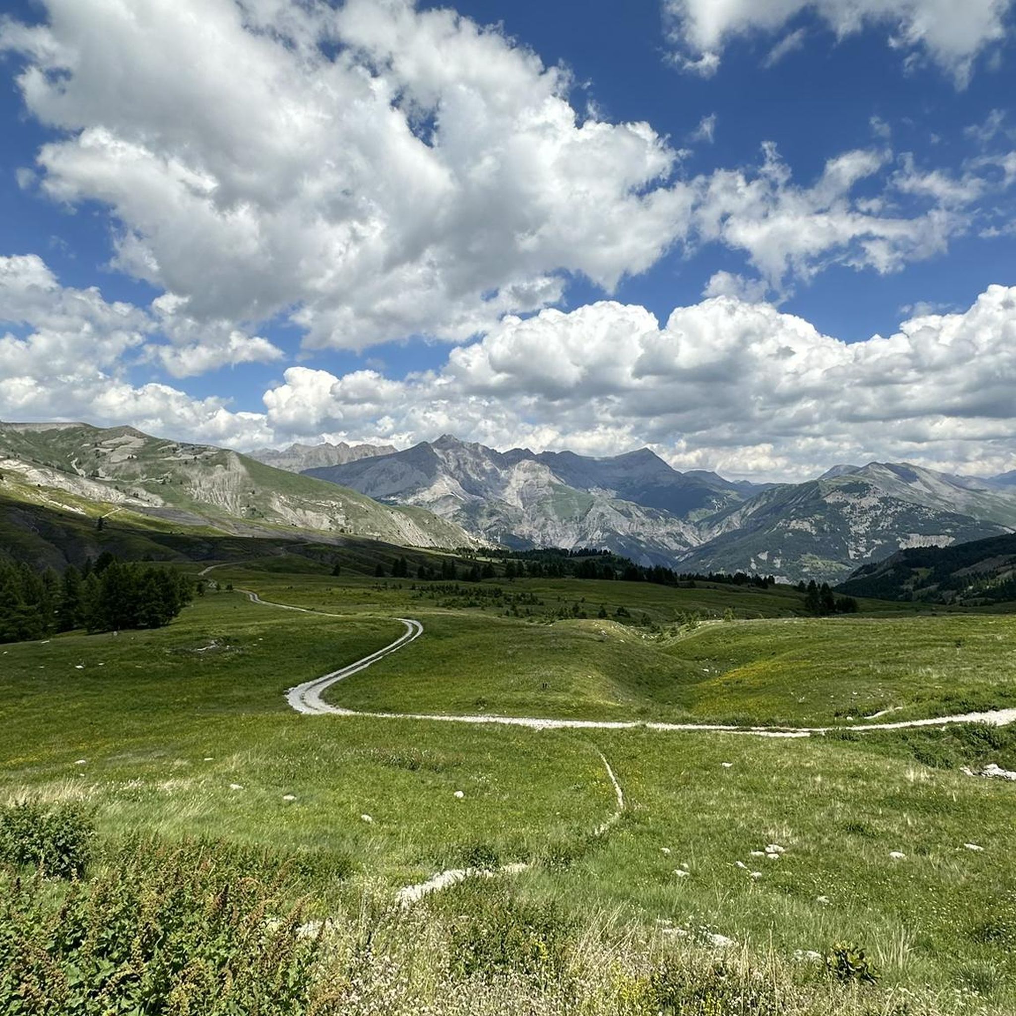
The Col des Champs is a mountain pass with an altitude of 2,087 meters and connects Haute-Provence with the Alpes-Maritimes, all within the Mercantour National Park. The pass is part of the so-called Route des Trois Cols, an interesting circular route with three passes above 2,000 meters. This route connects the Col d'Allos with the Col de la Cayolle via this pass, thus linking the Allos Valley (Haute-Verdon) with the Var Valley. Its two slopes share the ruggedness of a major Alpine pass.
0
0

Gorge that characterizes the initial part of the climb to Col de la Cayolle. Road not steep and easy to cycle. Be careful of the possible presence of stones on the road surface
0
0

Gorgeous pass with very little traffic and perfect asphalt.
18
0
A long climb but never too difficult, the views are stunning.
17
0
Junction that takes you to Col de la Cayolle.
18
0
Very long climb with wonderful views.
16
0
A very long climb with little traffic, the asphalt is in perfect condition and the gradients are never too steep.
15
0
Frequently Asked Questions
How many touring cycling routes are available around Saint-Martin-D'Entraunes?
There are over 40 touring cycling routes in the Saint-Martin-D'Entraunes area, offering a wide range of options for exploring the mountainous landscape.
What is the general difficulty level of touring cycling routes in Saint-Martin-D'Entraunes?
The majority of touring cycling routes in Saint-Martin-D'Entraunes are classified as difficult, featuring significant elevation changes and alpine passes. There are a few moderate and easy routes available, but the region is primarily known for its challenging terrain.
Are there any long-distance touring cycling routes in the region?
Yes, for those seeking a long-distance challenge, the Barcelonnette – Cayolle Pass loop from Saint-Martin-d'Entraunes is a difficult 122.5 km (76.1 miles) route that navigates through high mountain passes and valleys.
What kind of natural attractions can I see along the touring cycling routes?
The routes often pass by stunning natural monuments and viewpoints. You can encounter highlights such as the Cayolle Pass, the Champs Pass, and the impressive Lance Waterfall. Many routes also offer views of prominent peaks like the Summit of Lausson.
Are there any circular touring cycling routes available?
Yes, many routes are designed as loops. For example, the Saint Martin – Col des Champs loop from Chastelonette is a 33.5 km (20.8 miles) trail through mountainous terrain. Another option is the Hotel Les Gentianes – Colmars loop from Chaumie, which covers nearly 47 km.
What do other touring cyclists say about the routes in Saint-Martin-D'Entraunes?
The touring cycling routes in Saint-Martin-D'Entraunes are highly rated by the komoot community, with an average score of 4.7 stars from over 50 reviews. Cyclists frequently praise the challenging ascents, scenic mountain roads, and the rewarding views from the alpine passes.
Are there any easier touring cycling routes suitable for beginners or families?
While the region is predominantly challenging, there are a few easier routes. For instance, the Colmars – Colmars-les-Alpes loop from Colmars is a shorter, difficult route at 18.78 km, which might be more manageable for those looking for a less extensive challenge, though it still involves significant elevation.
What is the best time of year for touring cycling in Saint-Martin-D'Entraunes?
Given the high-altitude terrain and alpine passes, the best time for touring cycling is typically from late spring to early autumn (June to September) when the passes are clear of snow and weather conditions are most stable. Always check local weather forecasts before heading out.
Are there any specific viewpoints along the routes?
Absolutely. The region is rich with panoramic views. Notable viewpoints include the Champs Pass and the View of Lake Allos from Mont Pelat, offering breathtaking vistas of the surrounding mountains and valleys.
Where can I find parking for touring cycling routes in Saint-Martin-D'Entraunes?
Specific parking information varies by route starting point. Many routes begin in or near villages like Colmars or Saint-Martin-d'Entraunes, where public parking is generally available. It's advisable to check the individual route details on komoot for precise starting locations and potential parking suggestions.
Are there any cafes or places to stop for refreshments along the touring routes?
While the routes traverse a rugged, natural environment, villages like Colmars, which serve as starting or passing points for several tours, typically offer cafes, restaurants, and other amenities where you can refuel and rest during your ride.
Most popular attractions around Saint-Martin-D'Entraunes

Get inspired with the komoot mobile app


Explore more
Browse the best Cycling routes in other regions.
