The best road cycling routes around Coisia
4.6
(94)
2,100
riders
126
rides
Road cycling routes around Coisia are situated within the Jura Mountains, characterized by winding roads, significant elevation changes, and diverse landscapes. The region features limestone peaks, dense forests, and scenic valleys, providing a varied backdrop for rides. Road cyclists can find both challenging mountain passes and more serene routes along lakes such as Lake Coiselet and with views of the Ain Valley. The terrain offers a blend of demanding ascents and picturesque stretches through natural features.
Best road cycling routes…
Last updated: July 4, 2026
4.4
(7)
74
riders
52.8km
02:29
640m
640m
Moderate road ride. Good fitness required. Some segments of this route may be unpaved and difficult to ride.
5.0
(1)
32
riders
63.9km
03:00
780m
780m
Moderate road ride. Good fitness required. Mostly well-paved surfaces and easy to ride.

Sign up for free
5.0
(1)
17
riders
Moderate road ride. Good fitness required. Mostly well-paved surfaces and easy to ride.
5.0
(1)
18
riders
41.2km
01:46
350m
360m
Moderate road ride. Good fitness required. Mostly well-paved surfaces and easy to ride.
5.0
(1)
5
riders
42.0km
02:06
690m
690m
Moderate road ride. Good fitness required. Mostly well-paved surfaces and easy to ride.
Get access to more routes and recommendations from other explorers.
Sign up for free
Already have an account?
Our route recommendations are based on thousands of hikes, rides, and runs completed by other people on komoot.
Start today with a free account
Your next adventure awaits.
Login or Signup
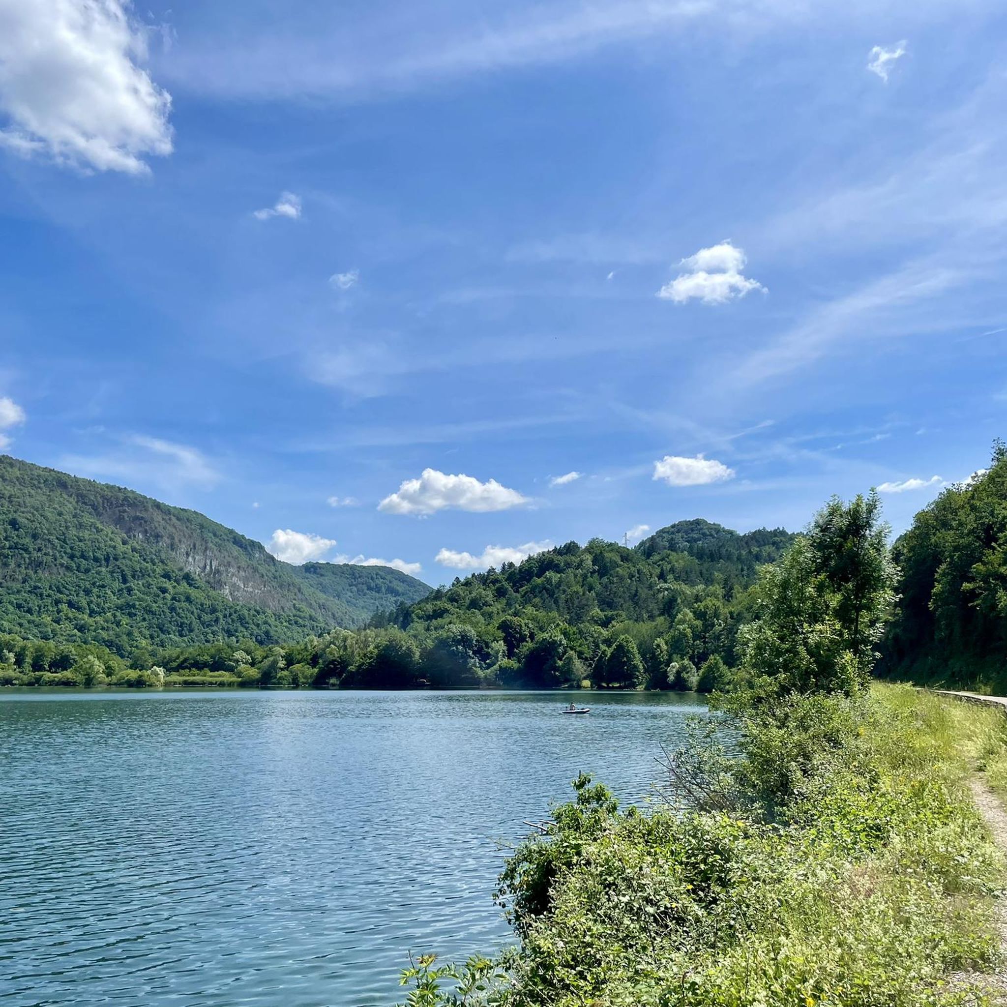
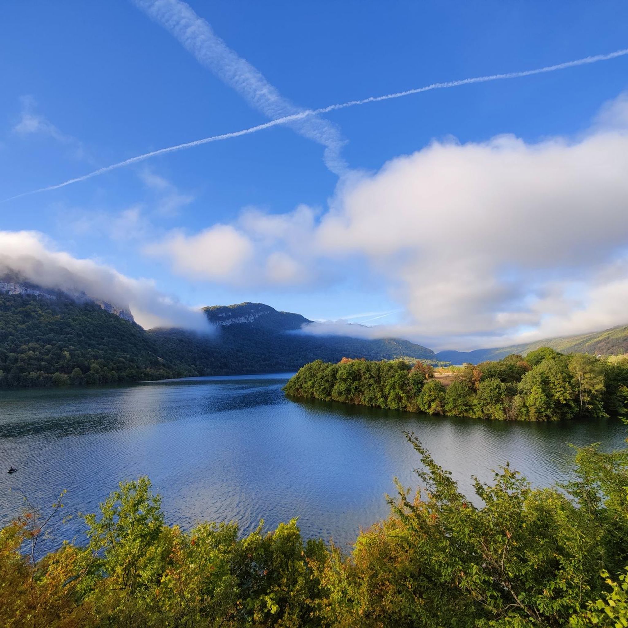
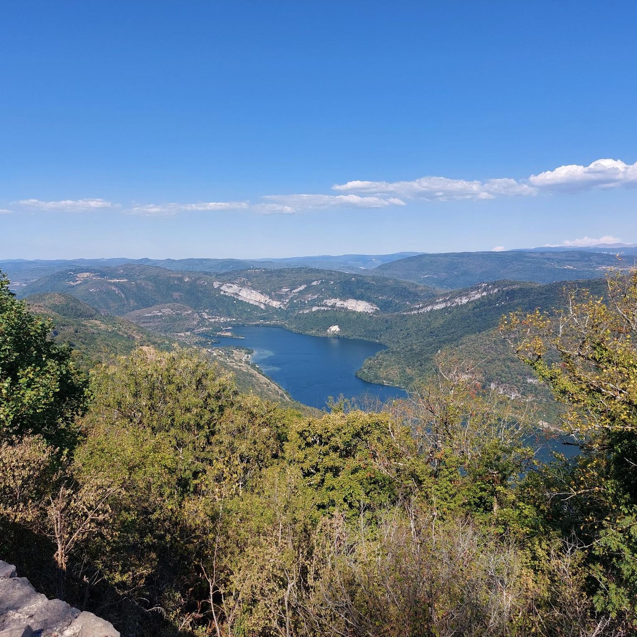

Tips from the Community

The Lac de Nantua is a superb body of water of 141 hectares. In the heart of the Jura, it offers an ideal setting for practicing a multitude of sports. It is even possible to swim in its waters.
1
0

pretty little stone viaduct with 2 superimposed lanes, one for cars with 6 arches and one for the train with 11 arches. Atypical.
0
0
The bridge separates two departments, the Jura and the Ain. "Iron bridge. For several centuries, the Ain was crossed at Thoirette using a ferry, called Christouphe's ferry, named after the commune where the passenger resided. From 1808 to 1811, the riparian communes contributed to building a bridge in place of this ferry. The project had been drawn up by Mr. Cordier, from Orgelet, an engineer then in charge of directing the works for the Simplon road. Various obstacles opposed the execution of this work. It was not until 1829 that an iron bridge was built, which collapsed in 1843. The Ain department has just replaced it with an iron bridge currently open to traffic". Statistique de la France - 1855 - Ministère de l'Agriculture by Imprimerie Impériale in Paris - p53.
0
0
Restored and covered washhouse of Menouille with its water point.
0
0

Pretty little viaduct which is a real must-see!
0
0
Magnificent viaduct, nice spot for an outing in Ain.
0
0

Beautiful, simple, easy walk; lots of traffic noise on the "road" section, a bit of a shame, but the color of the water is magical
1
0
Frequently Asked Questions
How many road cycling routes are available around Coisia?
There are over 119 road cycling routes around Coisia, catering to various skill levels. You'll find a good mix of moderate and difficult trails, with a few easier options as well.
What kind of terrain can I expect when road cycling in Coisia?
Coisia is nestled within the Jura Mountains, so expect a diverse terrain. Routes feature winding roads, significant elevation changes, and scenic stretches through limestone peaks, dense forests, and river valleys. You'll encounter both challenging ascents and more serene rides, particularly along lakes and with views of the Ain Valley.
Are there any easy road cycling routes suitable for beginners or families?
While many routes in Coisia involve significant elevation, there are a few easier options. For a more relaxed experience, consider routes that stay closer to the valley floor or around lakes. The region offers a blend of demanding ascents and picturesque stretches, so look for routes with lower elevation gain if you prefer an easier ride.
What scenic viewpoints or landmarks can I see along the road cycling routes?
The region is rich in scenic spots. You can cycle past the historic Church of Saint-Hymetière, which is isolated in fields and offers a charming view. For breathtaking panoramic views of the Ain Valley, routes near the Oliferne Castle Ruins are highly recommended. You might also encounter the Chancia Viewpoint, offering stunning vistas of the surrounding landscapes.
Are there road cycling routes around Lake Coiselet?
Yes, the area features routes that incorporate Lake Coiselet. A popular option is the Vouglans Dam – Along Lake Coiselet loop from Matafelon-Granges, which offers a pleasant ride along the lake's shores, known for its serene natural beauty and swans.
What is the best time of year for road cycling in Coisia?
The best time for road cycling in Coisia is typically from spring through autumn. During these seasons, the weather is generally favorable, and the natural landscapes are at their most vibrant. The diverse terrain, from valley floors to mountain plateaus, is enjoyable when temperatures are mild.
Are there any circular road cycling routes in Coisia?
Yes, many of the routes around Coisia are designed as loops, allowing you to start and finish at the same point. For example, the Lac de Nantua – Lake Nantua loop from Matafelon-Granges is a popular circular route offering scenic lakeside roads. Another option is the Vouglans Dam – View of Lac de Vouglans loop from Thoirette.
What do other cyclists enjoy most about road cycling in Coisia?
The area is highly rated by the komoot community, with an average score of 4.6 stars from over 80 reviews. Cyclists often praise the varied terrain, from challenging mountain passes to picturesque stretches along lakes and through forests, as well as the stunning panoramic views of the Ain Valley and the Jura Mountains.
Are there any waterfalls to see along the road cycling routes?
Yes, the region around Coisia features several natural attractions, including waterfalls. You might encounter the Cascade de la Pisse Vache or the Valouse Waterfall, which can add a refreshing stop to your ride.
Is parking available for road cyclists in Coisia?
Parking is generally available in and around Coisia, particularly in villages and near popular trailheads. It's advisable to check specific starting points for routes for designated parking areas to ensure convenience.
Can I find places to eat or stay in Coisia and nearby areas?
Coisia and the surrounding villages in the Jura department offer various options for accommodation, restaurants, and cafes. You'll find places to refuel and rest, ranging from local eateries to guesthouses, catering to visitors exploring the region.
Most popular attractions around Coisia

Get inspired with the komoot mobile app


Explore more
Browse the best Road cycling routes in other regions.
