The best road cycling routes around Malaussène
4.6
(124)
4,584
riders
52
rides
Road cycling routes around Malaussène traverse the scenic Var Valley, characterized by its verdant environment and the Var River. The region offers varied terrain, from valley floors to challenging climbs leading to panoramic viewpoints like "Malaussène d'en haut." Situated in the Alpes-Maritimes, the area provides diverse landscapes for road cyclists seeking both physical challenge and scenic beauty. Secondary roads offer a quieter cycling experience away from busier routes.
Best road cycling routes around Malaussène
- The most popular road cycling route…
Last updated: June 29, 2026
98
riders
94.2km
04:50
1,560m
1,560m
Hard road ride. Very good fitness required. Mostly well-paved surfaces and easy to ride.
46
riders
149km
09:04
4,040m
4,040m
Hard road ride. Very good fitness required. Mostly well-paved surfaces and easy to ride.

Sign up for free
11
riders
90.3km
06:46
2,820m
2,820m
Hard road ride. Very good fitness required. Some segments of this route may be unpaved and difficult to ride.
5.0
(1)
10
riders
33.7km
01:44
590m
590m
Moderate road ride. Good fitness required. Mostly well-paved surfaces and easy to ride.
4.0
(1)
11
riders
62.5km
03:26
1,270m
1,270m
Hard road ride. Very good fitness required. Mostly well-paved surfaces and easy to ride.
Get access to more routes and recommendations from other explorers.
Sign up for free
Already have an account?
Our route recommendations are based on thousands of hikes, rides, and runs completed by other people on komoot.
Start today with a free account
Your next adventure awaits.
Login or Signup

Tips from the Community

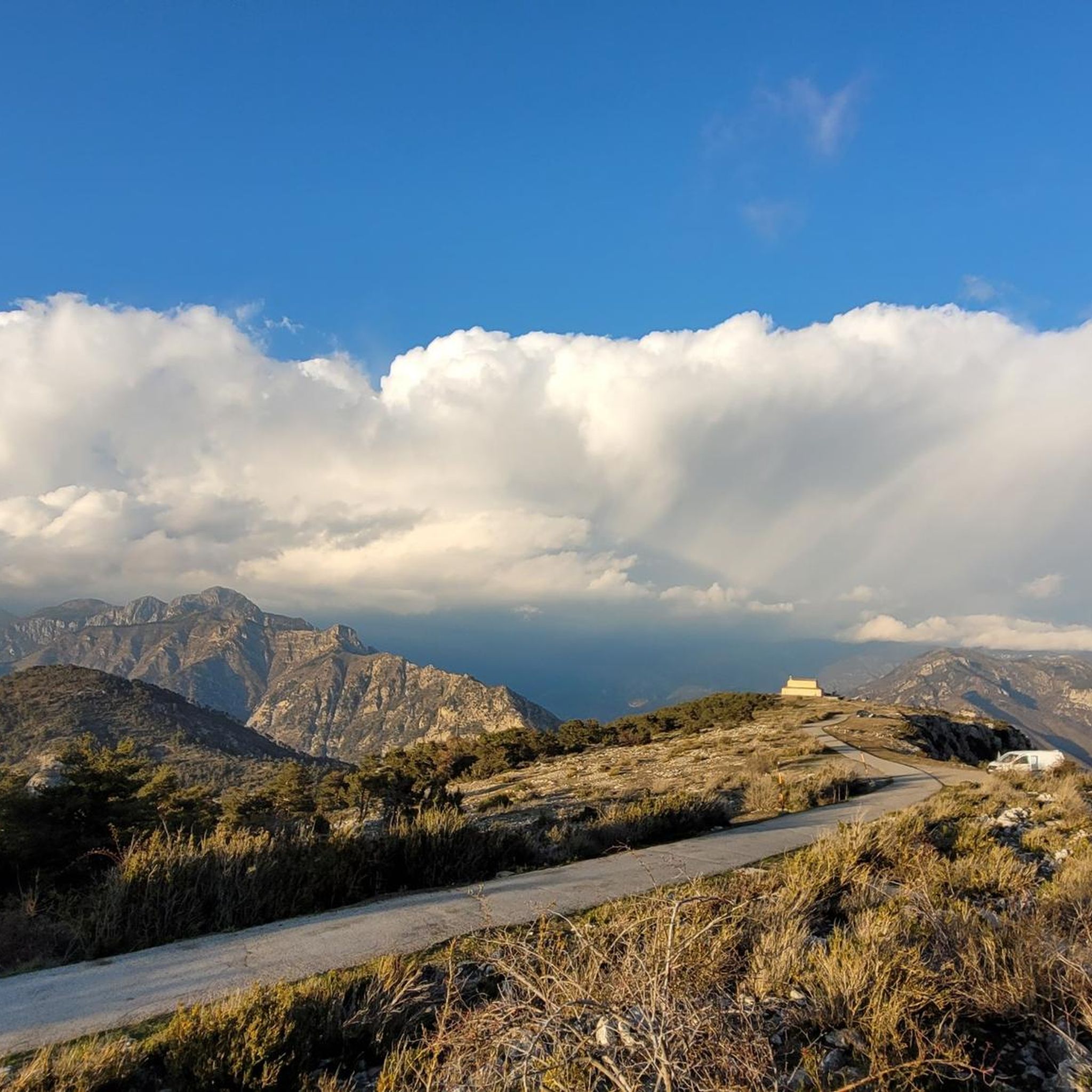
The Col de la Couillole is a mountain pass in the Massif du Mercantour-Argentera of the French Alps, situated at an altitude of 1,678 m (5,505 ft) in the Alpes-Maritimes department, France. The road connection is open for six to seven months of the year, allowing travel between the Cians gorges in the west and the Tinée valley in the east.
0
0
The Col de la Couillole is a mountain pass in the Massif du Mercantour-Argentera of the French Alps, situated at an altitude of 1,678 m (5,505 ft) in the Alpes-Maritimes department, France. The road connection is open for six to seven months of the year, allowing travel between the Cians gorges in the west and the Tinée valley in the east.
0
0
The Col Saint-Martin Pass, or Col de la Colmiane, is a mountain pass in the Southern Alps located at an altitude of 1,500 meters in the Alpes-Maritimes department of France. It provides a year-round road link between the Tinée Valley to the west and the Vésubie Valley to the east.
0
0
Col Saint Martin (el. 1500 m.) is a high mountain pass in the Alps in the department of Alpes-Maritimes in France.[1] It is traversed by the D-2205 highway.[2] The place has been crossed at the Tour de France road cycling race in 1973, 1975 and 2020, as well as at multiple editions of the Paris-Nice.
0
0

The Conte side is made up of a series of hairpins with a large % of slope on the ubac The Tourette-Levens side is shorter with only one hairpin. The entire climb is on the sunny side
0
0
one of the most beautiful roads in the area
1
0

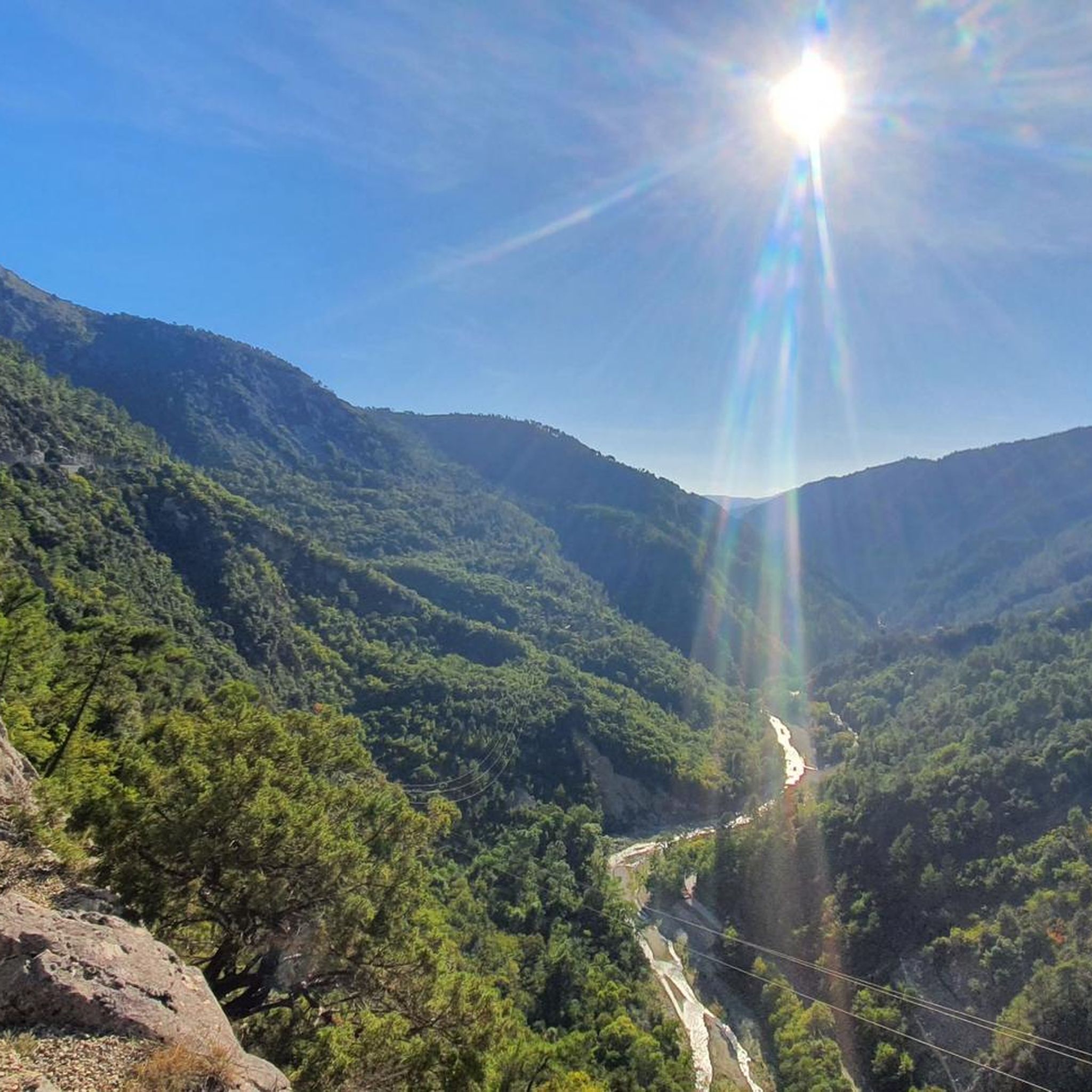
Preferably go down the Var in the morning because of the thermal of the valley
0
0

At the start of the descent towards St Laurent
0
0
Frequently Asked Questions
How many road cycling routes are available around Malaussène?
There are over 50 road cycling routes available around Malaussène, offering a variety of experiences for cyclists. These routes are highly rated by the komoot community, with an average score of 4.7 stars.
What is the general terrain like for road cycling in Malaussène?
The terrain around Malaussène is quite varied, ranging from scenic valley floors along the Var River to challenging climbs that lead to panoramic viewpoints. You'll find yourself traversing secondary roads, offering a quieter cycling experience away from busier routes, and encountering picturesque 'perched villages' characteristic of the Var Valley.
What are the difficulty levels of road cycling routes in Malaussène?
Malaussène offers a good mix of challenges. While there are no easy routes listed, you'll find 23 moderate routes and 35 difficult routes. This means cyclists can choose between substantial climbs and longer distances, or more manageable, yet still engaging, rides.
When is the best time of year to go road cycling in Malaussène?
The Alpes-Maritimes region, where Malaussène is located, generally offers pleasant conditions for cycling for much of the year. Spring and autumn are often ideal, with milder temperatures and beautiful scenery. Summer can be warm, especially in the valley, but higher elevation routes provide cooler air. Winters are generally mild but can bring colder temperatures to the mountains.
Are there any notable landmarks or viewpoints along the road cycling routes in Malaussène?
Yes, the region is rich in scenic points. For instance, the climb to 'Malaussène d'en haut' offers wonderful panoramic views over the Var Valley. You can also find highlights like Col à Utelle and Col de Vé Gautier, which are popular mountain passes. The area also features charming 'perched villages' that provide cultural and tourist points of interest.
Can I find natural features like gorges or waterfalls near the cycling routes?
Beyond cycling, the natural environment around Malaussène invites exploration. The region is known for its gorges, such as The Vésubie gorges, as well as caves and beautiful waterfalls that enhance the outdoor experience. While not always directly on a road cycling route, they are often accessible nearby.
Are there any family-friendly road cycling routes in Malaussène?
Currently, the road cycling routes listed around Malaussène are categorized as moderate to difficult, with no easy routes specifically designated as family-friendly. The terrain often involves significant climbs and longer distances, which might be challenging for younger children or those new to road cycling. However, the quieter secondary roads could be suitable for families with more experienced cyclists.
Are there any dog-friendly cycling options in Malaussène?
While the road cycling routes themselves are primarily designed for human cyclists, the general environment of the Var Valley and Alpes-Maritimes is very welcoming to outdoor activities. If you're looking to combine cycling with your dog, consider routes where your dog can safely run alongside you on quieter sections, or explore the many walking trails in the area where dogs are permitted.
What are some of the more challenging road cycling routes in the Malaussène area?
For experienced cyclists seeking a challenge, routes like the Isola Village – Col de la Lombarde loop from Malaussène - Massoins offer a difficult 76.2-mile path with a significant ascent to Col de la Lombarde, providing an alpine cycling experience. Another demanding option is the Lantosque – Col à Utelle loop from Maritime Alps, a 56.0-mile trail through the Maritime Alps.
Are there any moderate road cycling routes for those looking for a less intense ride?
Yes, there are moderate options available. For example, the Col de Vé Gautier – Ascros Village and Castle loop from Revest-les-Roches is a moderate 34.5-kilometer route that offers a rewarding ride without the extreme elevation gains of the more difficult routes. This allows for a scenic experience at a more relaxed pace.
What kind of views can I expect on a road cycling tour around Malaussène?
Road cycling around Malaussène offers diverse and stunning views. You can expect verdant landscapes of the Var Valley, panoramic vistas from higher elevations like 'Malaussène d'en haut', and charming glimpses of ancient houses and flower borders as you pass through the small streets of the village. The broader Alpes-Maritimes region also provides a backdrop of both mountainous and coastal scenery.
Are there any loops or circular routes available for road cycling in Malaussène?
Yes, many of the road cycling routes around Malaussène are designed as loops, allowing you to start and finish in the same location. Examples include the challenging Start of the Col de Vence climb – Baou de Saint-Jeannet loop from Toudon and the moderate Col de Vé Gautier – Ascros Village and Castle loop from Revest-les-Roches. These circular routes are convenient for exploration.
Most popular routes around Malaussène
Most popular attractions around Malaussène

Get inspired with the komoot mobile app


Explore more
Browse the best Road cycling routes in other regions.
