The best running trails around Clans
4.3
(17)
1,650
runners
85
runs
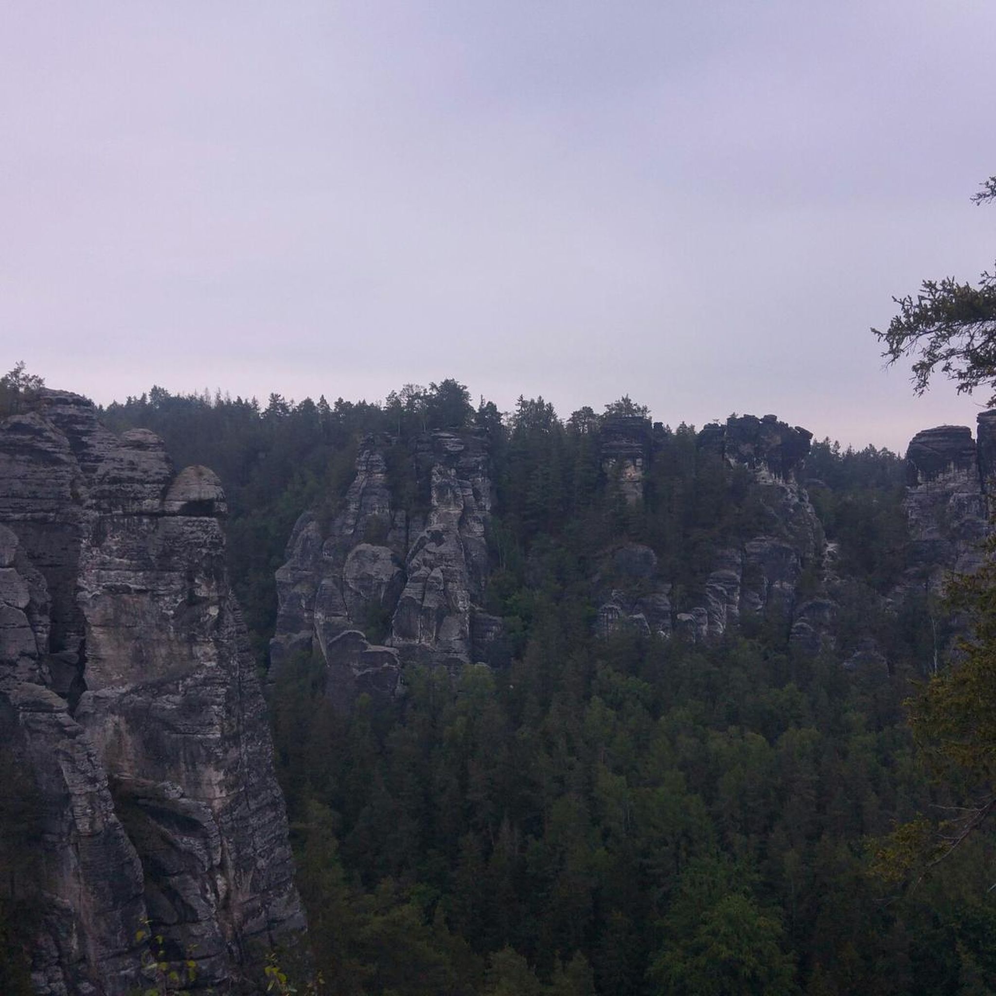
Jogging around Clans offers a diverse landscape characterized by rugged terrain and varied elevations. The region features areas with volcanic geology, including rhyolitic and quartz-latitic ash-flow tuff units, creating a visually interesting backdrop for running. Deep canyons and steep cliffs are prominent, alongside pinyon-juniper woodlands and Great Basin sagebrush communities. These natural elements provide a range of challenging and scenic running experiences.
Best jogging routes around Clans
- The most popular jogging route is Running loop from Saint-Dalmas, a 8.9…
Last updated: October 2, 2026
3.0
(1)
67
runners
14.1km
02:31
990m
980m
Hard run. Very good fitness required. Sure-footedness, sturdy shoes and alpine experience required.
5.0
(1)
25
runners
9.31km
01:03
150m
160m
Moderate run. Good fitness required. Mostly paved surfaces. Suitable for all skill levels.

23
runners
8.15km
01:17
500m
500m
Hard run. Very good fitness required. Mostly paved surfaces. Suitable for all skill levels.
5.0
(1)
19
runners
7.46km
00:52
160m
160m
Moderate run. Good fitness required. Mostly paved surfaces. Suitable for all skill levels.
14
runners
8.03km
01:24
610m
610m
Hard run. Very good fitness required. Mostly paved surfaces. Suitable for all skill levels.
Get access to more routes and recommendations from other explorers.
Already have an account?
Our route recommendations are based on thousands of hikes, rides, and runs completed by other people on komoot.
Start today with a free account
Your next adventure awaits.
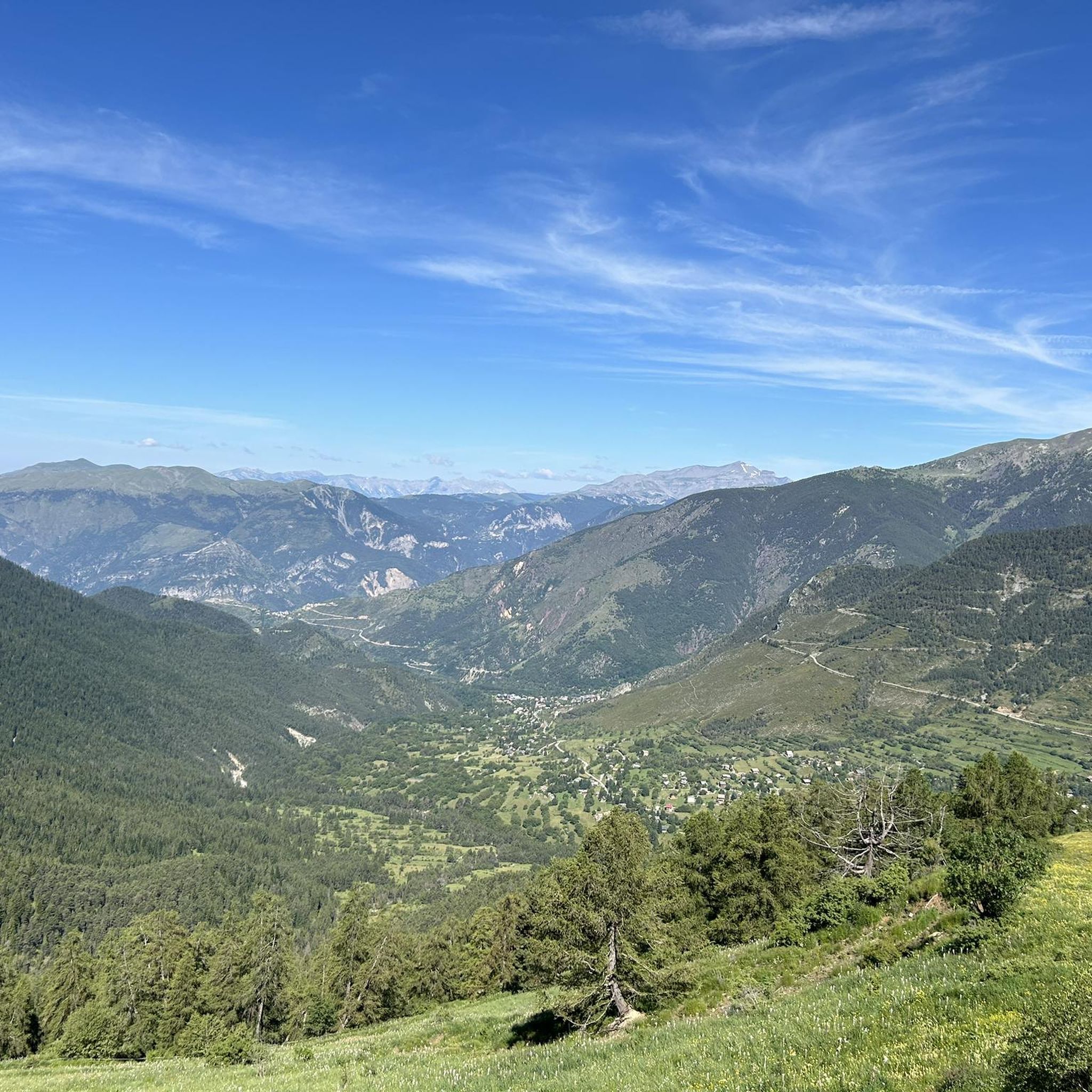
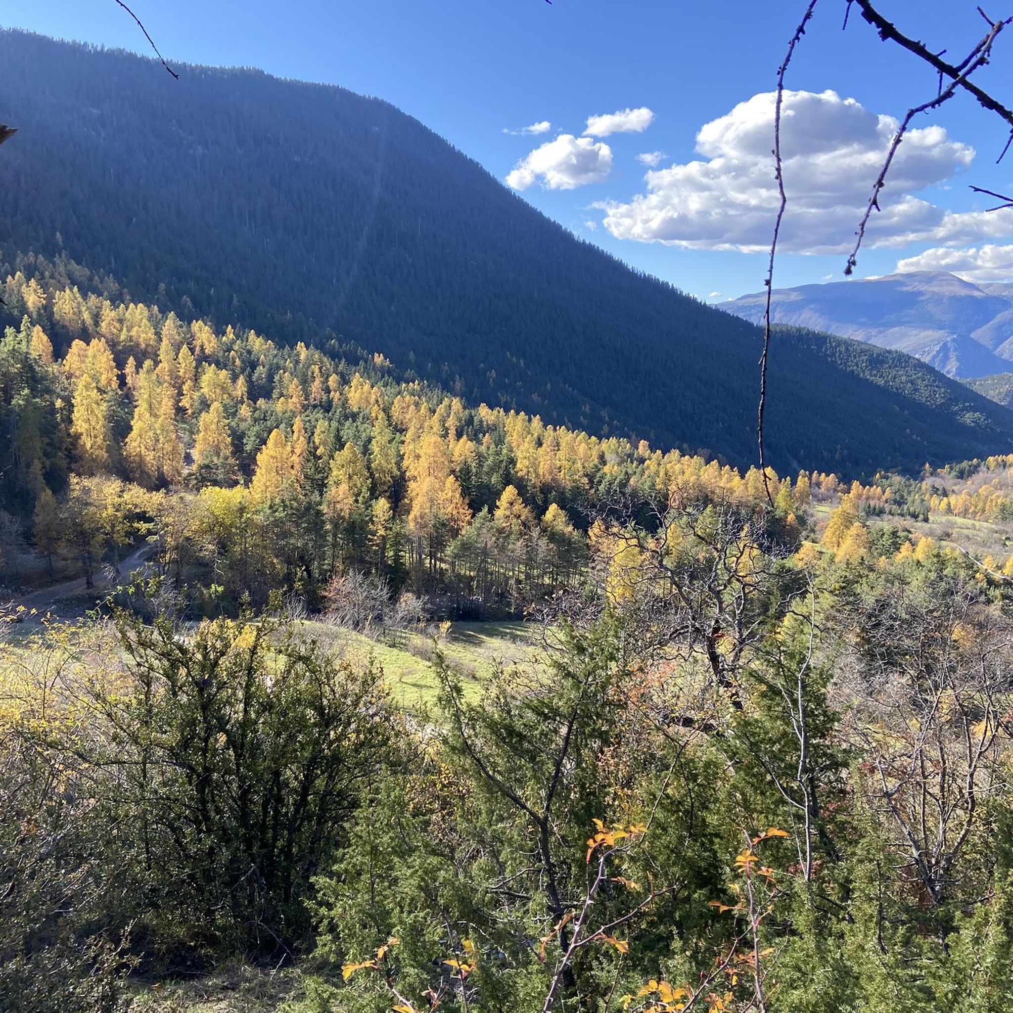
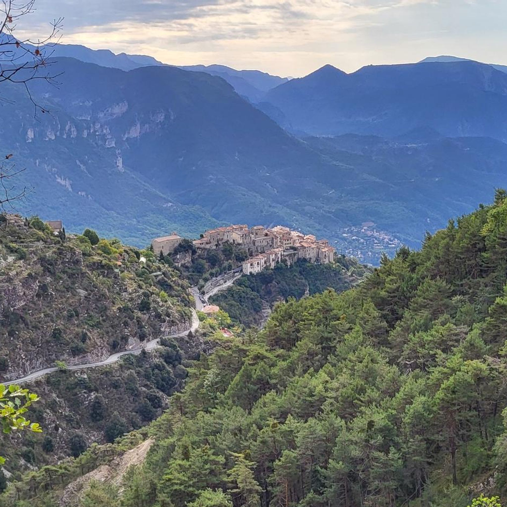
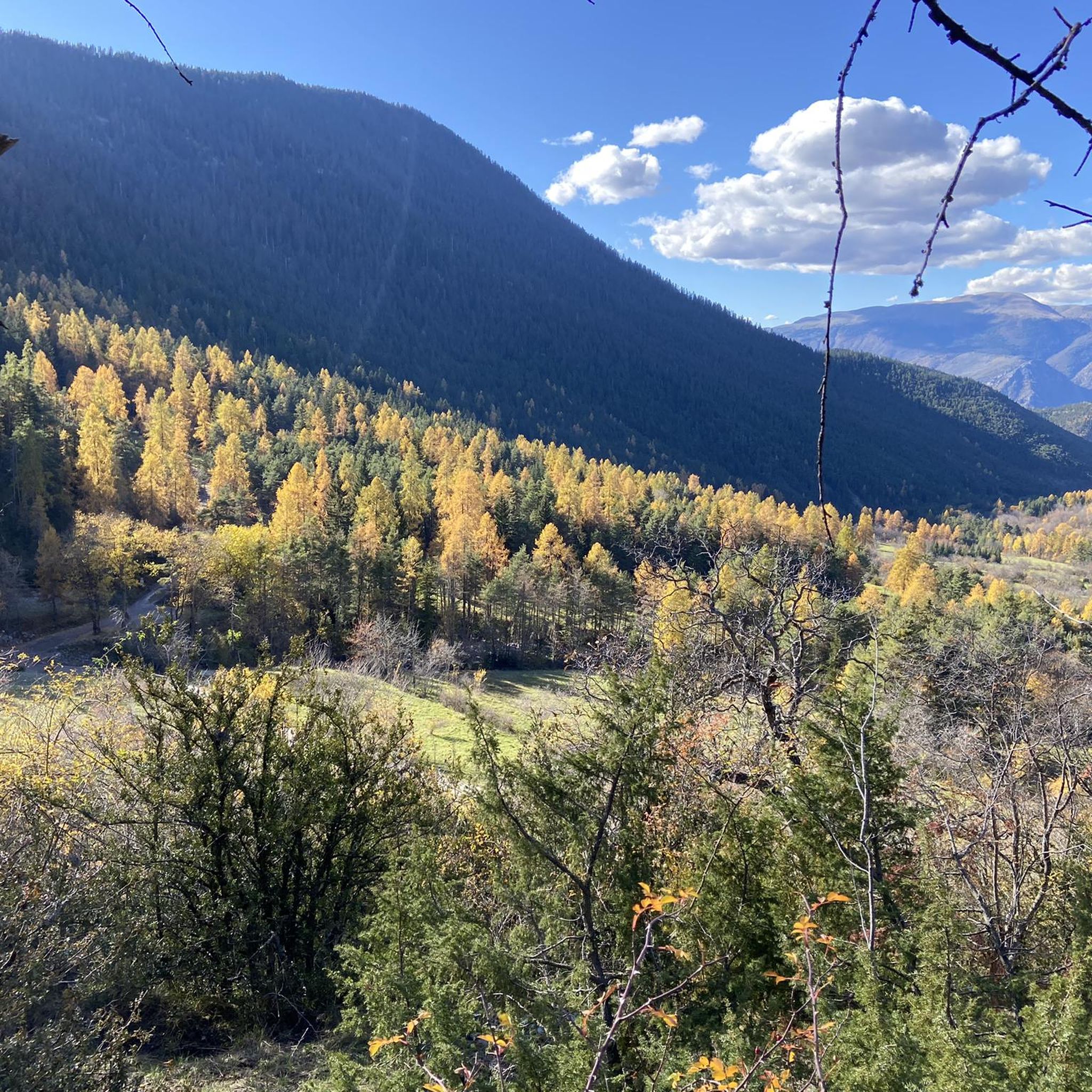

Tips from the Community

This picnic area is a few steps from the forest cabin and the Collet du Puei. It’s a great place to stop in the middle of a hike.
1
0

COLLET du PUEI: Pleasant shaded place with tables for a quiet lunch. See interesting information in the forest hut.
1
0
Sale of alpine cheese in Cairo Petit
0
0

The Col des Deux Caïres peaks at an altitude of 1,921 meters, between the Tinée and Vésubie valleys. It connects Big Cairo to the east (2,087 meters above sea level) and Small Cairo to the west (1,921 meters above sea level). On Little Cairo, you can find the remains of a bunker, open to the public.
0
0

An ideal place to start the mountain bike ride to Mont Viroulet! There is a parking lot and a picnic table where you can rest in the sun.
1
0

This pretty village is called Saint-Dalmas-de-Valdeblore to differentiate itself from the neighboring village of Saint-Dalmas-le-Selvage. It is located in the upper Tinée valley and is very close to the Vésubie valley. It is the official starting point of the GR 52 which crosses the Mercantour national park. The village is also a favorite place for paragliding enthusiasts.
1
0

The most beautiful hike I have done in France so far, the old bunker is also worth a visit
0
0
Very good opportunity to rest after the strenuous ascent
0
0
Frequently Asked Questions
What kind of terrain can I expect on the running trails around Clans?
The running trails around Clans are characterized by rugged and diverse landscapes. You'll encounter areas with volcanic geology, including rhyolitic and quartz-latitic ash-flow tuff units, creating a visually interesting backdrop. Deep canyons and steep cliffs are prominent, alongside pinyon-juniper woodlands and Great Basin sagebrush communities. This offers a range of challenging and scenic running experiences.
Are there many challenging running routes in Clans?
Yes, Clans is known for its challenging running routes. Out of the 65 available routes, 57 are classified as difficult, offering significant elevation gains and rugged terrain. For example, the Running loop from Saint-Dalmas is a difficult 14.4 km trail with over 1000 meters of elevation gain.
Are there any moderate or easy jogging routes for beginners in Clans?
While Clans is predominantly known for its challenging trails, there are 8 moderate routes available. There are currently no routes classified as easy. A good option for a moderate run is the Saint Dalmas – Col de la Séréna (1,307 m) loop from Col Saint-Martin, which is 9.4 km long and features varied terrain.
Can I find circular running routes in the Clans area?
Yes, many of the running routes in Clans are circular, allowing you to start and end at the same point. For instance, the Lac Long loop from Col Saint-Martin is a challenging 20.9 km loop offering extensive views and a significant ascent.
What do other runners think about the trails in Clans?
The running routes in Clans are highly rated by the komoot community, with an average score of 3.9 stars from more than 10 reviews. Over 1300 runners have used komoot to explore the varied terrain, often praising the rugged landscapes and the unique geological features.
Are there any viewpoints or scenic spots along the jogging routes?
Absolutely. The region's rugged landscapes, deep canyons, and volcanic geology naturally offer many scenic spots. Routes like the Lac Long loop from Col Saint-Martin are specifically noted for their extensive views. You can also find stunning vistas from nearby peaks like Mont Pépoiri or Mont Vial, which are accessible from some routes.
What kind of wildlife might I encounter while running in Clans?
The diverse natural environments around Clans are home to various wildlife. In the pinyon-juniper woodlands and canyons, you might spot raptors soaring above the steep cliffs. If considering the broader historical context of 'Clans' in Scotland, areas like the Highlands are known for red deer, otters, eagles, red squirrels, and pine martens.
Are there any historical or cultural landmarks near the running trails in Clans?
While the immediate running trails focus on natural landscapes, the broader concept of 'Clans' often evokes historical significance. If referring to Scottish Clan lands, you'd find numerous castles like Inveraray Castle or Eilean Donan Castle. In the specific region of Clans for these routes, you can find points of interest such as The start of Col Saint-Martin and Saint-Martin Pass (La Colmiane).
Is Clans a good destination for family-friendly running or jogging?
Given that most routes in Clans are classified as difficult and there are no easy routes, it might be challenging for very young children or families seeking very gentle strolls. However, families with older children or those accustomed to moderate activity could enjoy the 8 moderate routes, such as the Saint Dalmas loop from Col Saint-Martin, which is 7.8 km long.
What is the best time of year to go jogging in Clans?
The best time to go jogging in Clans largely depends on your preference for weather and trail conditions. The rugged terrain and varied elevations suggest that spring and autumn offer pleasant temperatures and vibrant scenery. Summer can be warm, especially in exposed areas, while winter might bring snow and ice, making some trails more challenging or inaccessible, particularly at higher elevations.
Are there any specific routes around 5k in Clans?
While there are no routes exactly 5k, you can find options close to that distance. For example, the Saint Dalmas loop from Col Saint-Martin is a moderate 7.8 km route, and the Saint Dalmas – A cozy place to rest on GR5 loop from Saint-Dalmas is a difficult 8.1 km route, both offering shorter distances for a quicker run.
Most popular attractions around Clans

Get inspired with the komoot mobile app


Explore more
Browse the best Running Trails & Routes in other regions.
