The best MTB trails around Châlonvillars
4.5
(951)
3,071
riders
338
rides
Mountain bike trails around Châlonvillars are situated in the Haute-Saône department of the Burgundy-Franche-Comté region in France. The area features varied terrain, with altitudes ranging from 363m to 493m within the commune itself. This region provides access to natural landscapes, including proximity to the Southern Vosges mountains and the prominent peak of Ballon d'Alsace, located approximately 21 km away. The natural environment offers opportunities for outdoor activities, including mountain biking.
Best mountain bike trails around Châlonvillars
- The most popular mountain…
Last updated: June 29, 2026
5.0
(1)
43
riders
32.4km
03:09
890m
890m
Hard mountain bike ride. Good fitness required. Advanced riding skills necessary. Some portions of the route may require you to push your bike.
4.6
(8)
25
riders
44.9km
03:52
650m
650m
Moderate mountain bike ride. Good fitness required. Advanced riding skills necessary.

Sign up for free
5.0
(3)
27
riders
56.7km
05:33
1,050m
1,050m
Hard mountain bike ride. Very good fitness required. Advanced riding skills necessary.
5.0
(2)
10
riders
34.8km
02:57
390m
390m
Hard mountain bike ride. Good fitness required. Advanced riding skills necessary. Some portions of the route may require you to push your bike.
5.0
(1)
9
riders
17.3km
01:27
230m
230m
Moderate mountain bike ride. Great for any fitness level. Advanced riding skills necessary.
Get access to more routes and recommendations from other explorers.
Sign up for free
Already have an account?
Our route recommendations are based on thousands of hikes, rides, and runs completed by other people on komoot.
Start today with a free account
Your next adventure awaits.
Login or Signup
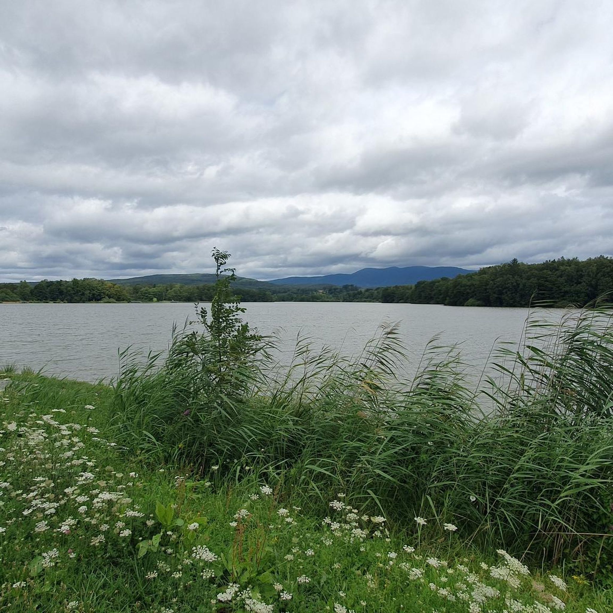
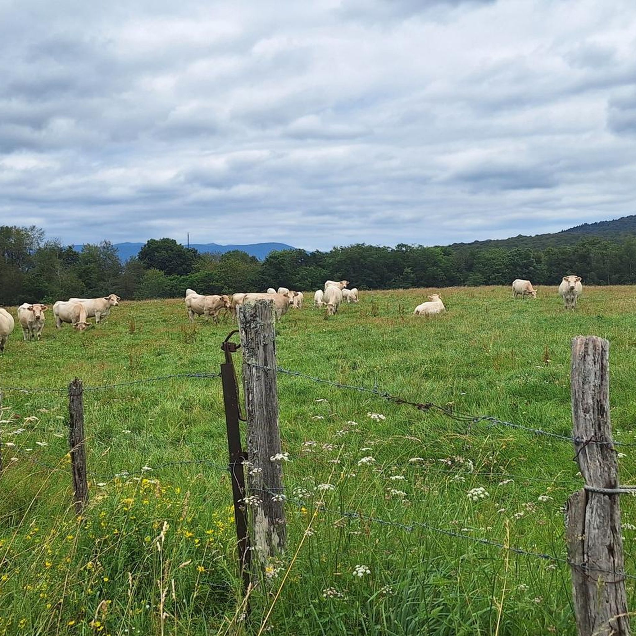
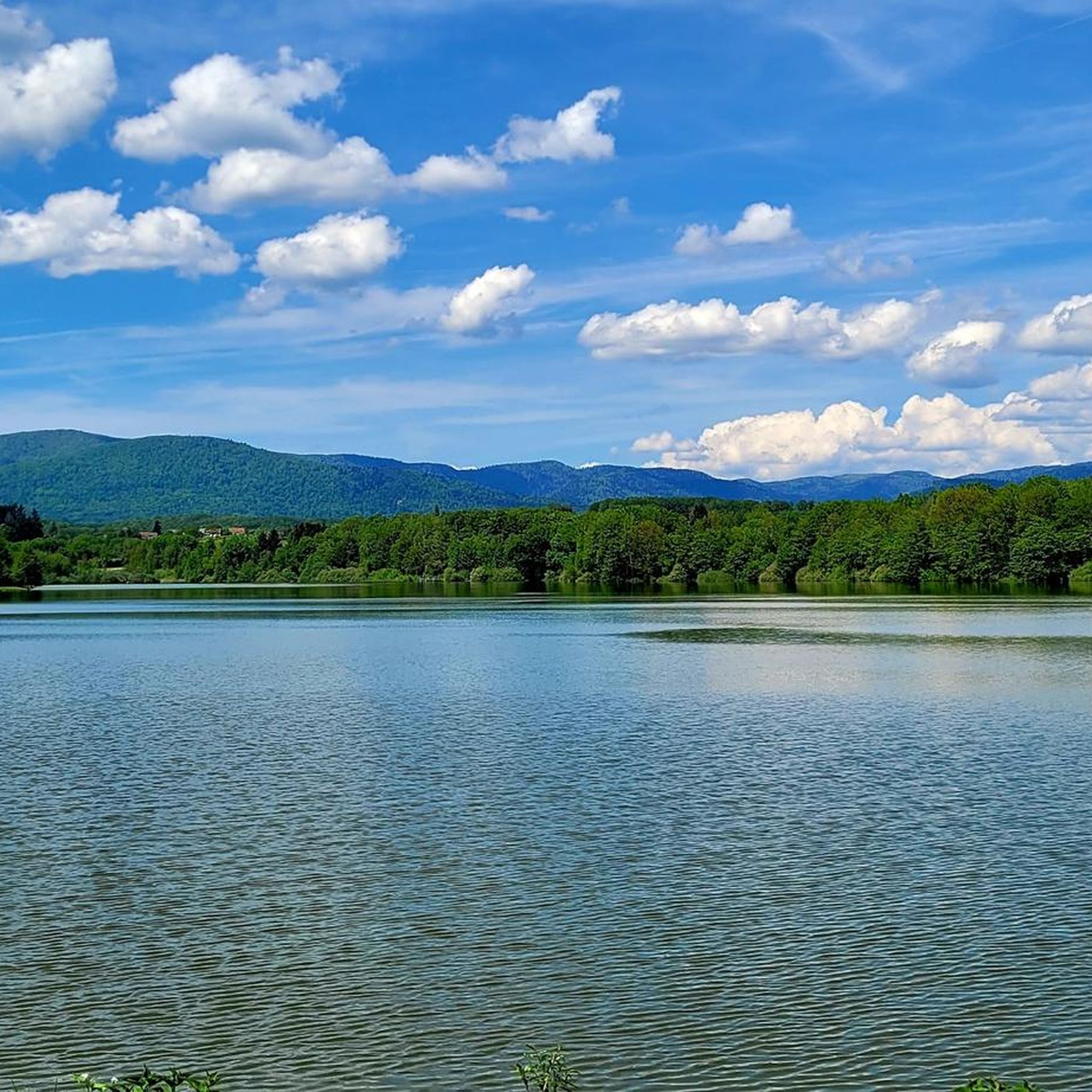

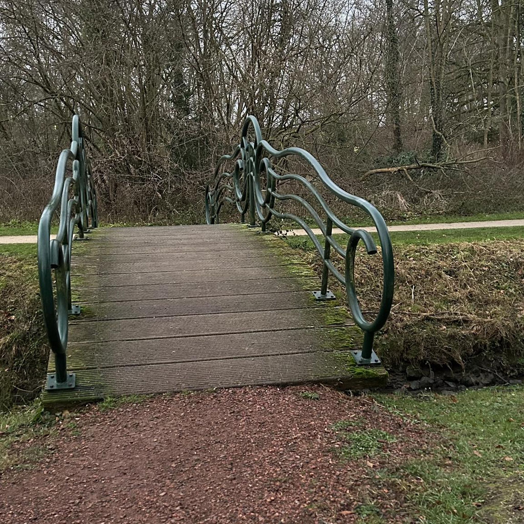
Tips from the Community

The summit of the Salbert forest
0
0
A great place for walking, hiking, and also mountain biking.
0
0

The Salbert forest is home to a marked, maintained and free Enduro mountain bike area. There are several mountain bike trails among the trees, with hilarious names. The blue and red slopes start from here, therefore of intermediate difficulty. If you like to meet other mountain bikers, this site is for you, as it is quite popular with Enduro enthusiasts.
0
0

But I know this Visigoth! 😅
0
1

The Champagney basin is ideal for walking and the dam which borders it to the south is a great spectacle.
2
0

Hello, this course looks very nice! is it possible to upload a gpx or fit file? In advance, thank you for your answer. Sincerely. Eric Anthony
0
0

The Salbert is one of the southernmost mountains of the Vosges. At its summit you have an unobstructed view of the entire Territoire de Belfort. Le Salbert is a stronghold of local military history. Fort du Salbert still bears witness to this past today.
3
0

very interesting mountain bike trail, beautiful view.
0
0
Frequently Asked Questions
How many mountain bike trails are available around Châlonvillars?
There are over 340 mountain bike trails around Châlonvillars, offering a wide range of options for different skill levels and preferences. You'll find routes varying from easy to difficult.
What kind of terrain can I expect on mountain bike trails in Châlonvillars?
The terrain around Châlonvillars is quite varied, with altitudes ranging from 363m to 493m within the commune itself. You can expect natural landscapes, and the region's proximity to the Southern Vosges mountains means some trails will feature significant elevation changes and more challenging conditions.
Are there any easy mountain bike trails suitable for beginners in Châlonvillars?
Yes, Châlonvillars offers a good selection of trails suitable for beginners. There are 47 easy mountain bike routes available, perfect for those looking for a less strenuous ride or to build their skills.
What do other mountain bikers enjoy most about the trails in Châlonvillars?
The mountain bike trails around Châlonvillars are highly rated by the komoot community, with an average score of 4.5 stars from over 900 reviews. Riders often praise the varied terrain, the natural beauty of the landscapes, and the options available for different difficulty levels.
Are there any mountain bike trails that offer scenic views or pass by natural features?
Many trails in the region offer scenic views. For example, the Port de Frahier – Champagney Reservoir loop from Châlonvillars provides beautiful views of the Champagney Reservoir. Another option is the Réchal Pond – Washhouse of Vyans-le-Val loop from Mandrevillars, which leads through rural landscapes and past various water features.
Can I find mountain bike routes that are circular or loop back to the starting point?
Yes, many mountain bike routes in the Châlonvillars area are designed as loops. For instance, the popular View of Chérimont – Viewpoint "sentier des Ducs loop from Châlonvillars is a 27.8-mile circular trail that brings you back to your starting point.
Are there any challenging mountain bike trails for experienced riders?
Absolutely. For experienced riders seeking a challenge, there are 168 difficult mountain bike routes around Châlonvillars. These trails often feature significant elevation gains and more technical sections, such as the Port de Frahier – Champagney Reservoir loop from Frahier-et-Chatebier.
What are some interesting historical sites or landmarks I can visit near the mountain bike trails?
While mountain biking, you can explore nearby historical sites. The region is home to several castles and forts. Notable attractions include the impressive Citadel of Belfort and the Fort de Vézelois. You might also find the Mont Vaudois Fort of interest.
Are there any lakes or water features accessible from the mountain bike trails?
Yes, the area around Châlonvillars features several beautiful lakes and water bodies. You could visit the Véronne Pond or enjoy views of Lake Malsaucy from a dedicated viewpoint overlooking Lake Malsaucy. The Champagney Dam is also a notable water feature in the vicinity.
What is the typical duration for mountain bike trails in this region?
Trail durations vary significantly based on distance and difficulty. For example, a moderate route like the Port de Frahier – La Croix des Femmes loop from Châlonvillars, which is about 21 miles long, typically takes around 2 hours 56 minutes to complete. Shorter, easier trails will take less time, while longer, more difficult ones will require more.
Is Châlonvillars a good base for exploring the wider Vosges mountains by mountain bike?
Châlonvillars is situated within reasonable distance of the Southern Vosges mountains, including the prominent peak of Ballon d'Alsace, which is approximately 21 km away. While Châlonvillars itself offers local trails, its location provides access to the broader Vosges region for more extensive mountain biking adventures.
Most popular routes around Châlonvillars
Most popular attractions around Châlonvillars

Get inspired with the komoot mobile app


Explore more
Browse the best MTB trails in other regions.
