The best walks and hikes around Châlonvillars
4.4
(706)
4,885
hikers
322
hikes
Hiking around Châlonvillars offers a landscape characterized by rolling hills and forested areas, often featuring historical forts and viewpoints. The region provides a mix of terrain, from gentle paths suitable for leisurely walks to more challenging ascents. Trails frequently lead through woodlands and open areas, providing varied scenery for hikers.
Best hiking trails around Châlonvillars
- The most popular hiking route is Salbert Viewpoint – Fort Salbert loop from Châlonvillars, a 5.4 miles (8.6 km) trail that takes 2 hours…
Last updated: July 5, 2026
4.4
(7)
32
hikers
8.62km
02:36
290m
290m
Moderate hike. Good fitness required. Easily-accessible paths. Suitable for all skill levels.
4.3
(10)
32
hikers
27.8km
07:40
460m
460m
Hard hike. Very good fitness required. Easily-accessible paths. Suitable for all skill levels.

Sign up for free
3.8
(4)
21
hikers
5.78km
01:38
120m
120m
Easy hike. Great for any fitness level. Easily-accessible paths. Suitable for all skill levels.
9
hikers
6.31km
01:42
80m
80m
Easy hike. Great for any fitness level. Easily-accessible paths. Suitable for all skill levels.
4.5
(2)
10
hikers
9.39km
02:49
290m
290m
Moderate hike. Good fitness required. Easily-accessible paths. Suitable for all skill levels.
Get access to more routes and recommendations from other explorers.
Sign up for free
Already have an account?
Our route recommendations are based on thousands of hikes, rides, and runs completed by other people on komoot.
Start today with a free account
Your next adventure awaits.
Login or Signup

Tips from the Community

A great place for walking, hiking, and also mountain biking.
0
0

Well done for sharing this knowledge and thank you for taking the time to share it with us.
0
0

The Salbert is one of the southernmost mountains of the Vosges. At its summit you have an unobstructed view of the entire Territoire de Belfort. Le Salbert is a stronghold of local military history. Fort du Salbert still bears witness to this past today.
3
0

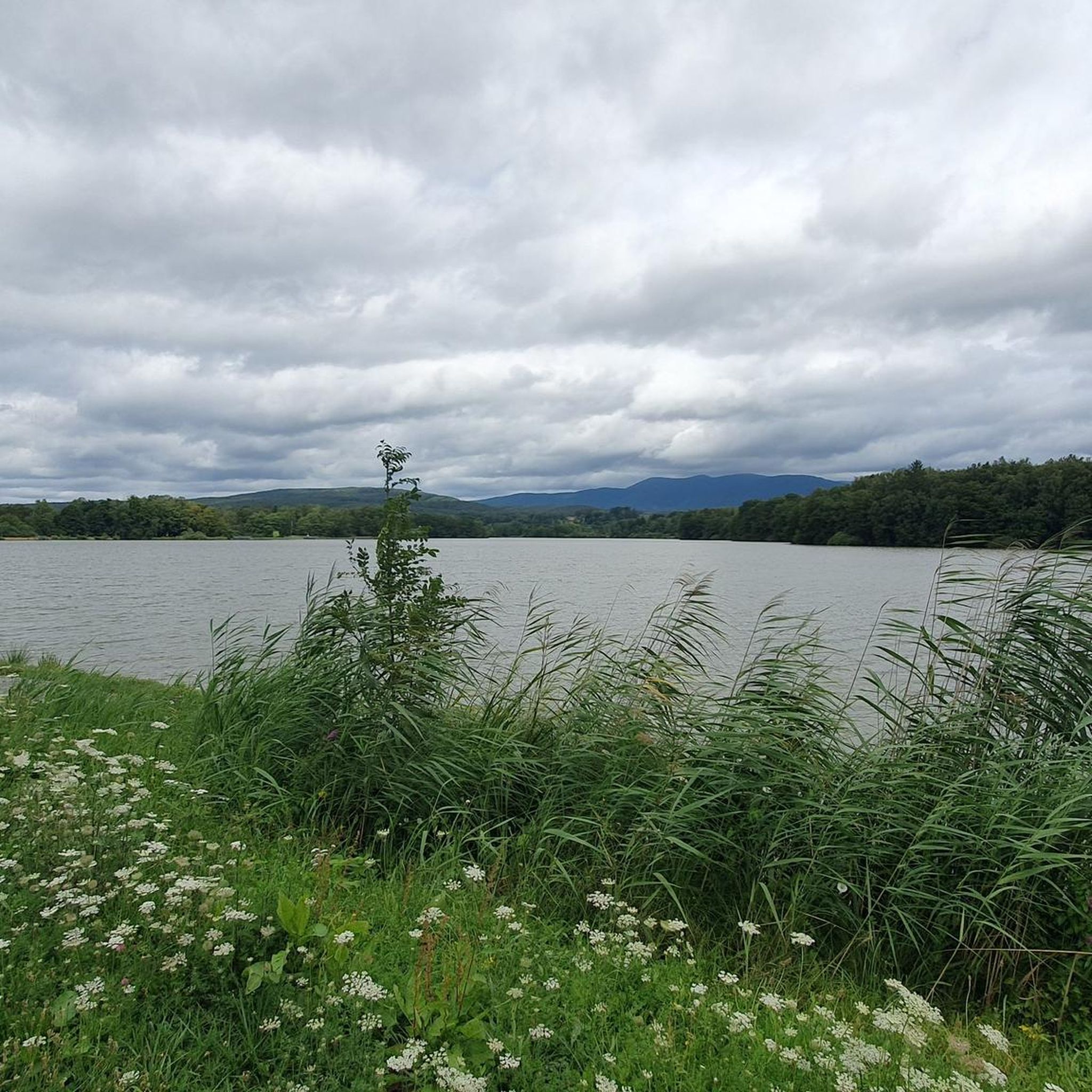
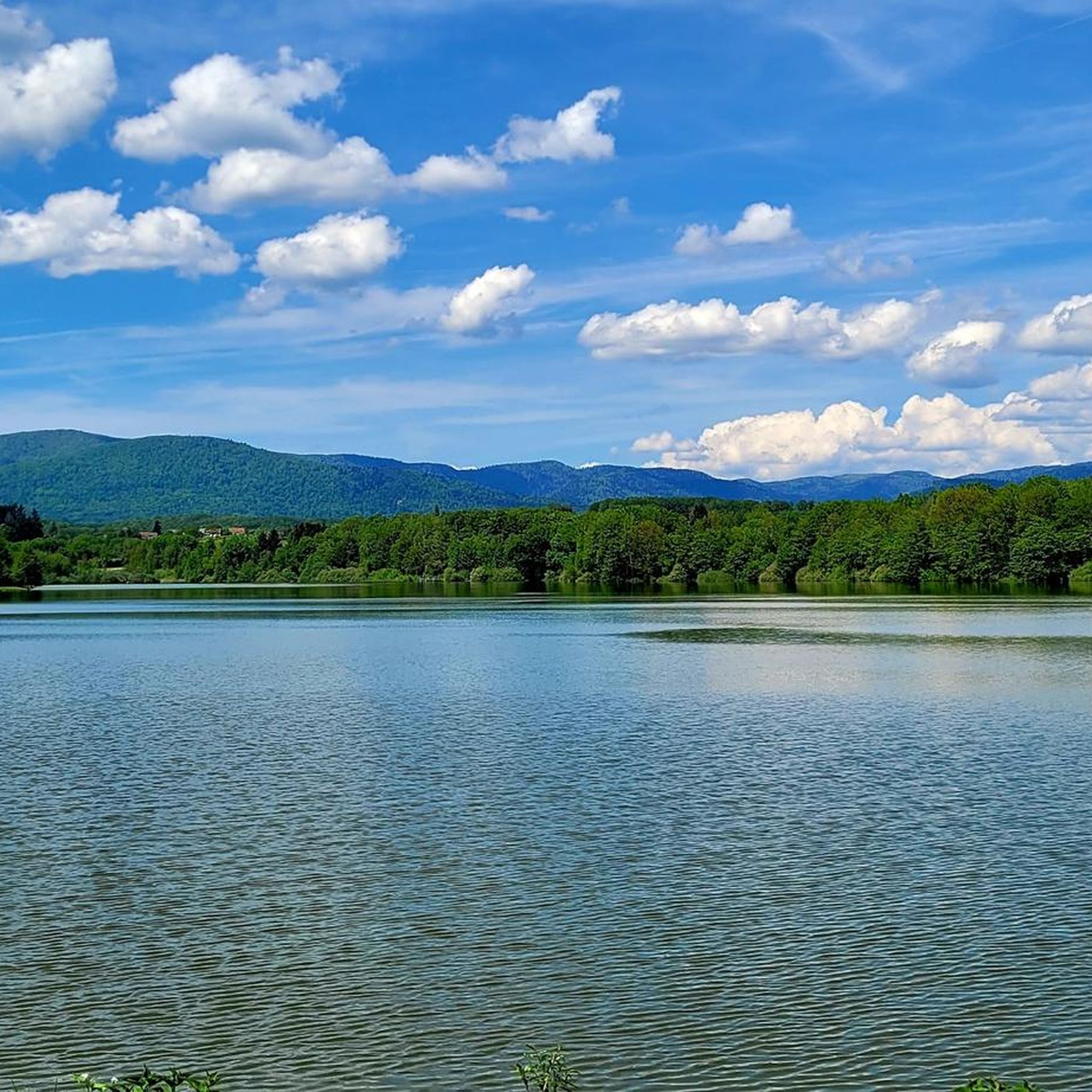
It was after the loss of Alsace in 1871 that the government of the Third Republic decided in 1878 to build canals in Eastern France to allow the movement of goods, and in particular steel products from Lorraine to Franche. -Comté, between the Nancy region and those of Burgundy and Franche-Comté. One of the first projects concerned the construction of the Canal de l'Est which began around 1875 and completed in 1887, then that of the Canal de la Haute-Saône which was to connect the remaining French part of the Canal du Rhône au Rhine to the Canal de l'Est . The aim was also to serve the Ronchamp coal mines and allow the coal produced in its shafts to be evacuated. In 1881 the project was largely defined and received approval from the Administration. The first blows of the pickaxes were given in 1882 but the difficulties encountered during the drilling of the Châlonvillars and Chérimont tunnels, the enormous volume of excavated material, due to the deep trenches and the significant embankments, meant that the initial budget turned out to be under -evaluated. As sufficient additional funds were slow to come, the project dragged on and completion could not take place before the end of the First World War which returned Alsace and its waterways to France. As the usefulness of the canal was no longer established, the entire project was called into question and only the section (12.5 km) connecting the Rhône-Rhine canal to the port of Botans was completed and filled with water in 1926. This port, managed by the Chamber of Commerce and Industry, served until the 1970s as a coal port for Belfort. At the beginning of the 21st century, only rare pleasure boats still used it. On April 26, 2018, in view of the upcoming closure of the section, the last boats left the port of Botans. The banks are a place for walks appreciated by residents of the Belfort-Montbéliard urban area: it is the Coulée Verte of the canal which allows hikers and cyclists to go from the lock located between Essert and Châlonvillars (Haute-Saône ) at the Prés-la-Rose park in Montbéliard (Doubs), by taking EuroVélo 6 from a point located in the commune of Étupes. The Champagney basin initially constituted the water reserve (13 million m³) for regulating the water level in the canal. Currently, it is a lake very popular with local fishermen and swimmers.
1
0

Super nice view of the city.
0
0
The walls are super interesting.
0
0
Keep your eyes open while searching. Located directly on the forest path.
0
0

Very nice view, magnificent downhill and enduro tracks, really great.
0
0
Frequently Asked Questions
How many hiking trails are available around Châlonvillars?
There are over 300 hiking routes in the Châlonvillars region, offering a wide variety of options for all skill levels. You'll find everything from short, easy strolls to more challenging long-distance trails.
Are there easy hiking trails suitable for beginners or families in Châlonvillars?
Yes, Châlonvillars offers over 125 easy hiking routes. A great option for a relaxed outing is the Fort Salbert – Salbert Viewpoint loop from Cravanche, which is 4.9 km long and explores the fort and its surroundings on gentle paths. Another easy choice is the Côte d'Essert Fort loop from Essert, a 5.7 km route.
What are the options for challenging hikes in the Châlonvillars area?
For experienced hikers seeking a challenge, there are 13 difficult routes around Châlonvillars. The Côte d'Essert Fort loop from Mandrevillars is a demanding 27.8 km trail that leads through varied terrain and typically takes over 7 hours to complete.
Are there any circular hiking routes around Châlonvillars?
Many of the trails in Châlonvillars are circular, allowing you to start and end at the same point. A popular moderate circular route is the Salbert Viewpoint – Fort Salbert loop from Châlonvillars, covering 8.6 km with views from Salbert.
What kind of viewpoints can I expect on hikes in Châlonvillars?
The region is known for its elevated viewpoints, often offering panoramic vistas over the rolling hills and forested landscapes. The Salbert area, for instance, provides excellent views. You can explore these on routes like the Salbert Viewpoint – Fort Salbert loop from Châlonvillars.
What historical sites or landmarks can I explore while hiking near Châlonvillars?
Châlonvillars is rich in historical sites, particularly forts. You can visit the Citadel of Belfort, the Fort de Vézelois, or the Mont Vaudois Fort. Many trails incorporate these historical structures into their routes, offering a blend of nature and history.
Are there any lakes or water features to see on hikes around Châlonvillars?
Yes, the region features several beautiful lakes and ponds. You might encounter the Véronne Pond or the larger Étang du Malsaucy. Some routes offer viewpoints overlooking these serene water bodies, such as the Viewpoint overlooking Lake Malsaucy.
What do other hikers say about the trails in Châlonvillars?
The hiking trails around Châlonvillars are highly regarded by the komoot community, with an average rating of 4.5 stars from over 600 reviews. Hikers frequently praise the well-maintained forested paths, the historical fort sites, and the diverse scenery that ranges from gentle strolls to more challenging ascents.
Is there public transport available to reach hiking trailheads in Châlonvillars?
While specific public transport connections to every trailhead can vary, Châlonvillars is generally accessible by local bus services. For detailed information on routes and schedules to specific starting points, it's best to check local transport provider websites or apps.
Where can I find parking for hiking trails in Châlonvillars?
Most popular trailheads and points of interest around Châlonvillars, especially those near villages or historical sites like Fort Salbert, typically have designated parking areas. It's advisable to check the specific route details on komoot for parking information related to your chosen trail.
Are there any hikes that pass by cafes or places to get refreshments in Châlonvillars?
While many trails in Châlonvillars lead through natural and forested areas, some routes may pass through or near villages where cafes or small eateries are available. For example, the Drinking water loop from Mandrevillars starts near a village, which might offer refreshment opportunities. Always check the route map for nearby amenities.
What is the best time of year to go hiking in Châlonvillars?
The region's rolling hills and forested areas are enjoyable throughout much of the year. Spring and autumn offer pleasant temperatures and beautiful foliage, while summer provides longer daylight hours. Winter hiking is also possible, especially on less challenging routes, though conditions can vary.
Most popular routes around Châlonvillars
Most popular attractions around Châlonvillars

Get inspired with the komoot mobile app


Explore more
Browse the best Hikes in other regions.
