The best running trails in the Rocky Mountains
4.4
(46)
3,484
runners
221
runs
Jogging in the Rocky Mountains offers diverse terrain across a vast wilderness area characterized by high peaks, extensive forests, and alpine tundra. The region features numerous glacial formations, clear mountain lakes, and rivers, providing varied running environments. Elevations range significantly, creating distinct ecosystems from lower-level wetlands to challenging high-altitude paths. This landscape provides a natural setting for a wide range of running experiences.
Best jogging routes in the Rocky Mountains
- The most popular jogging route is Canmore Engine Bridge – Pathway to Bow River loop from Canmore, a 6.5 miles (10.4 km) trail that takes 1 hour 4 minutes to complete. This route follows the Bow River, offering a riverside running experience.
- Another top favourite among local runners is Running loop from Emerald Lake, a moderate 3.3 miles (5.3 km) path. This trail circles the scenic Emerald Lake, providing a tranquil setting for a run.
- Local runners also love the Banff Sign – Arts In Nature Trail loop from Banff, a 6.1 miles (9.9 km) trail leading through parkland and along trails near Banff, often completed in about 1 hour 8 minutes.
- Jogging in the Rocky Mountains is defined by high peaks, glacial lakes, and dense forests. The extensive network of running routes offers options for various ability levels, from easy loops to more challenging trails with significant elevation gains.
- The routes in Rocky Mountains are highly rated by the komoot community with an average score of 4.4 stars from over 45 reviews. More than 3700 runners have used komoot to explore Rocky Mountains's varied terrain.
Last updated: June 25, 2026
77
runners
5.29km
00:36
40m
40m
Moderate run. Good fitness required. Mostly paved surfaces. Suitable for all skill levels.
4.5
(4)
55
runners
9.92km
01:09
150m
150m
Moderate run. Good fitness required. Mostly paved surfaces. Suitable for all skill levels.

Sign up for free
4.3
(3)
70
runners
6.01km
00:38
60m
60m
Moderate run. Good fitness required. Mostly paved surfaces. Suitable for all skill levels.
69
runners
5.06km
00:37
110m
110m
Moderate run. Good fitness required. Mostly paved surfaces. Suitable for all skill levels.
4.5
(4)
55
runners
Moderate run. Good fitness required. Mostly paved surfaces. Suitable for all skill levels.
5.0
(1)
60
runners
4.71km
00:29
30m
30m
Easy run. Great for any fitness level. Mostly paved surfaces. Suitable for all skill levels.
58
runners
16.6km
01:45
130m
130m
Hard run. Very good fitness required. Mostly paved surfaces. Suitable for all skill levels.
5.0
(1)
54
runners
4.09km
00:26
30m
30m
Easy run. Great for any fitness level. Mostly paved surfaces. Suitable for all skill levels.
5.0
(1)
49
runners
9.91km
01:04
150m
150m
Moderate run. Good fitness required. Mostly paved surfaces. Suitable for all skill levels.
50
runners
7.81km
00:49
30m
30m
Moderate run. Good fitness required. Mostly paved surfaces. Suitable for all skill levels.
Get access to more routes and recommendations from other explorers.
Sign up for free
Already have an account?
Our route recommendations are based on thousands of hikes, rides, and runs completed by other people on komoot.
Start today with a free account
Your next adventure awaits.
Login or Signup
Popular around Rocky Mountains

Great Divide Mountain Bike Route — Cycling the spine of a continent

Cross Canada Ride — heading east for 6,800km

Around the World in 80 Days
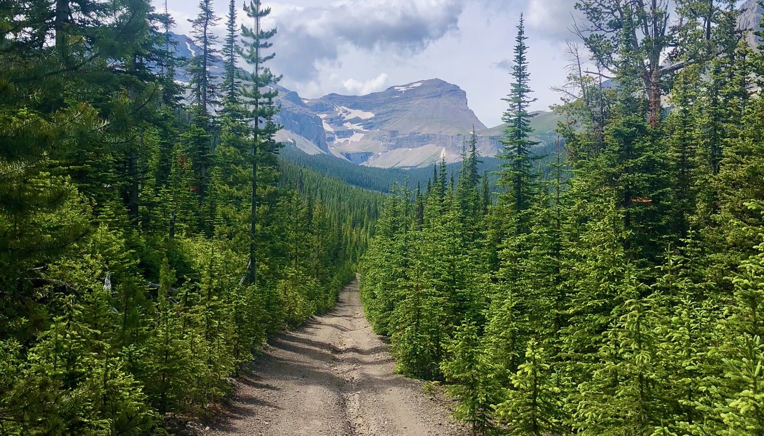
Run the Rockies – mountain range fastpack #5

Canada by train – scenic hikes from Western stations
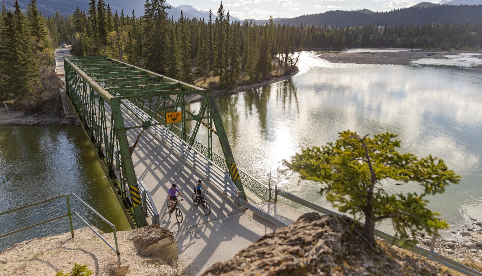
City, forest, river - explore diverse Alberta by bike
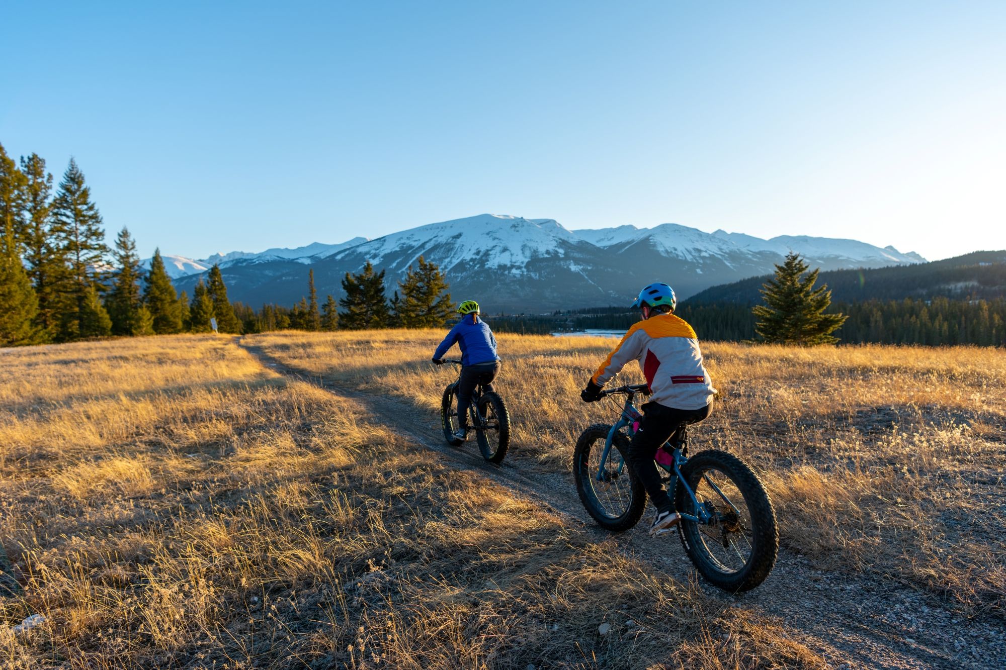
Hop on the trails – mountain biking & fat biking in Alberta
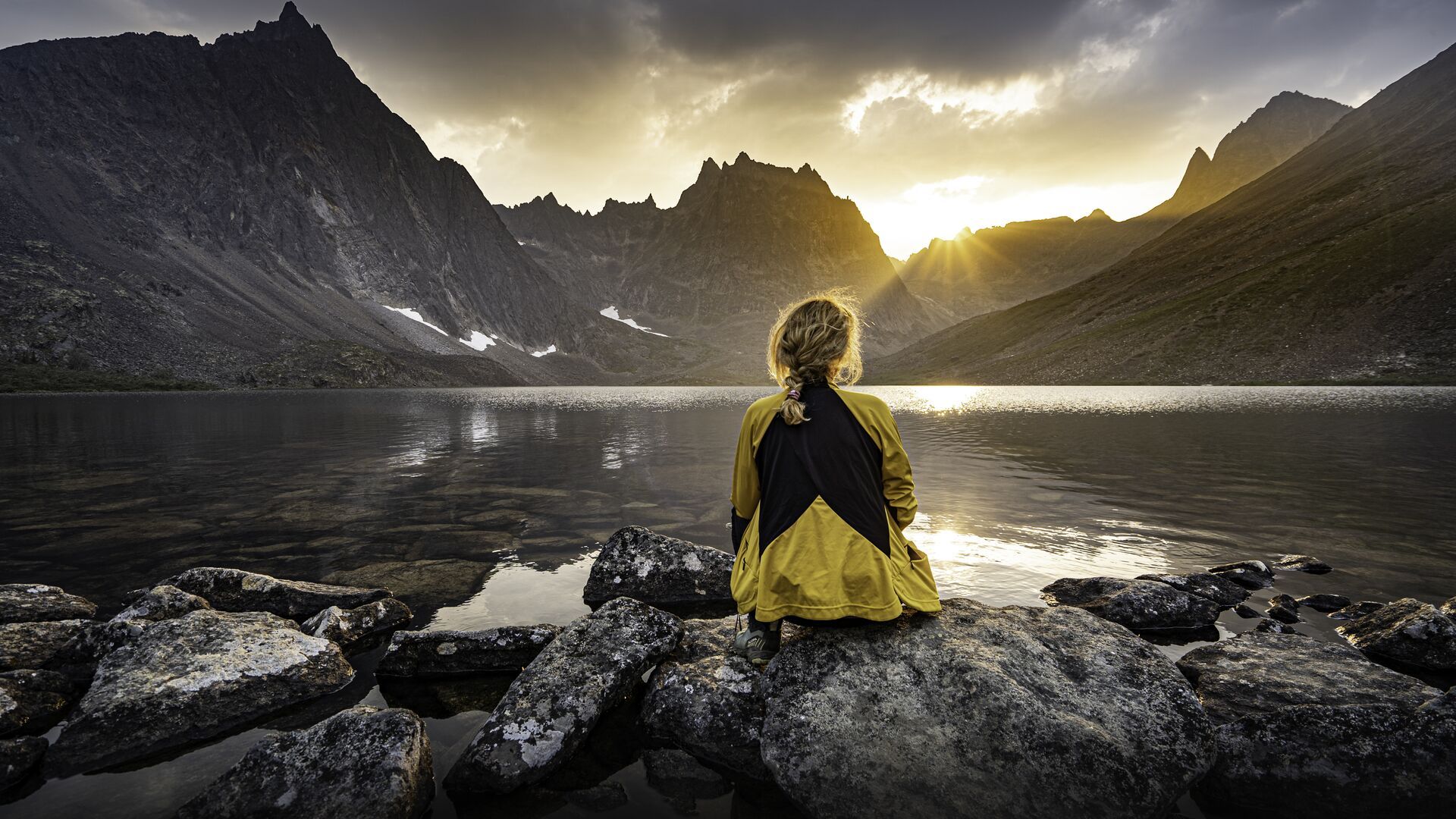
The longest footpath in the world – Trans Canada Trail
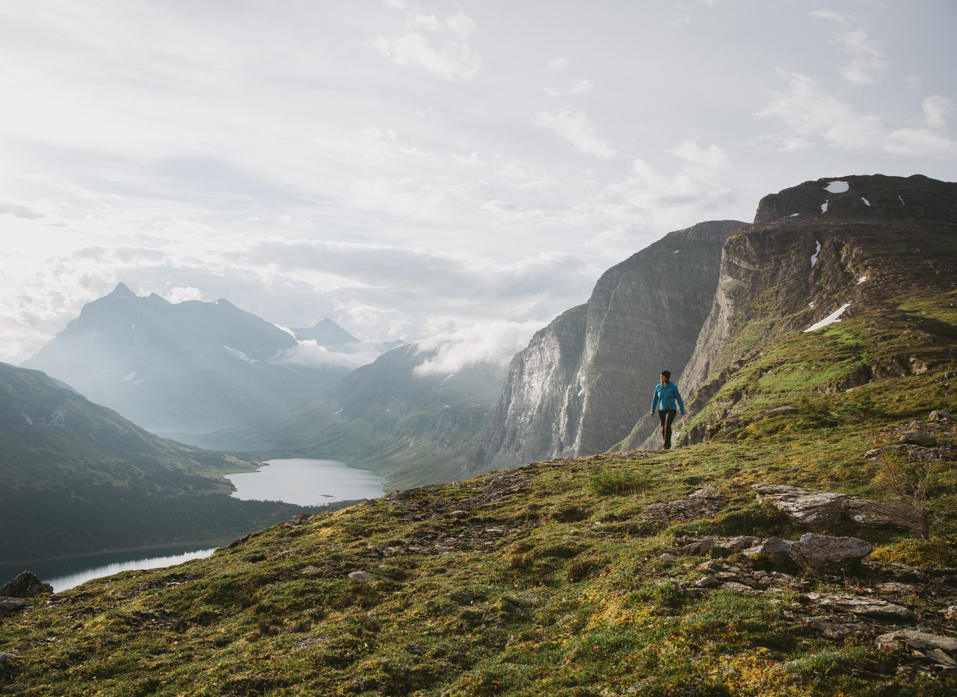
The Great Wilderness – hiking in the vastness of British Columbia
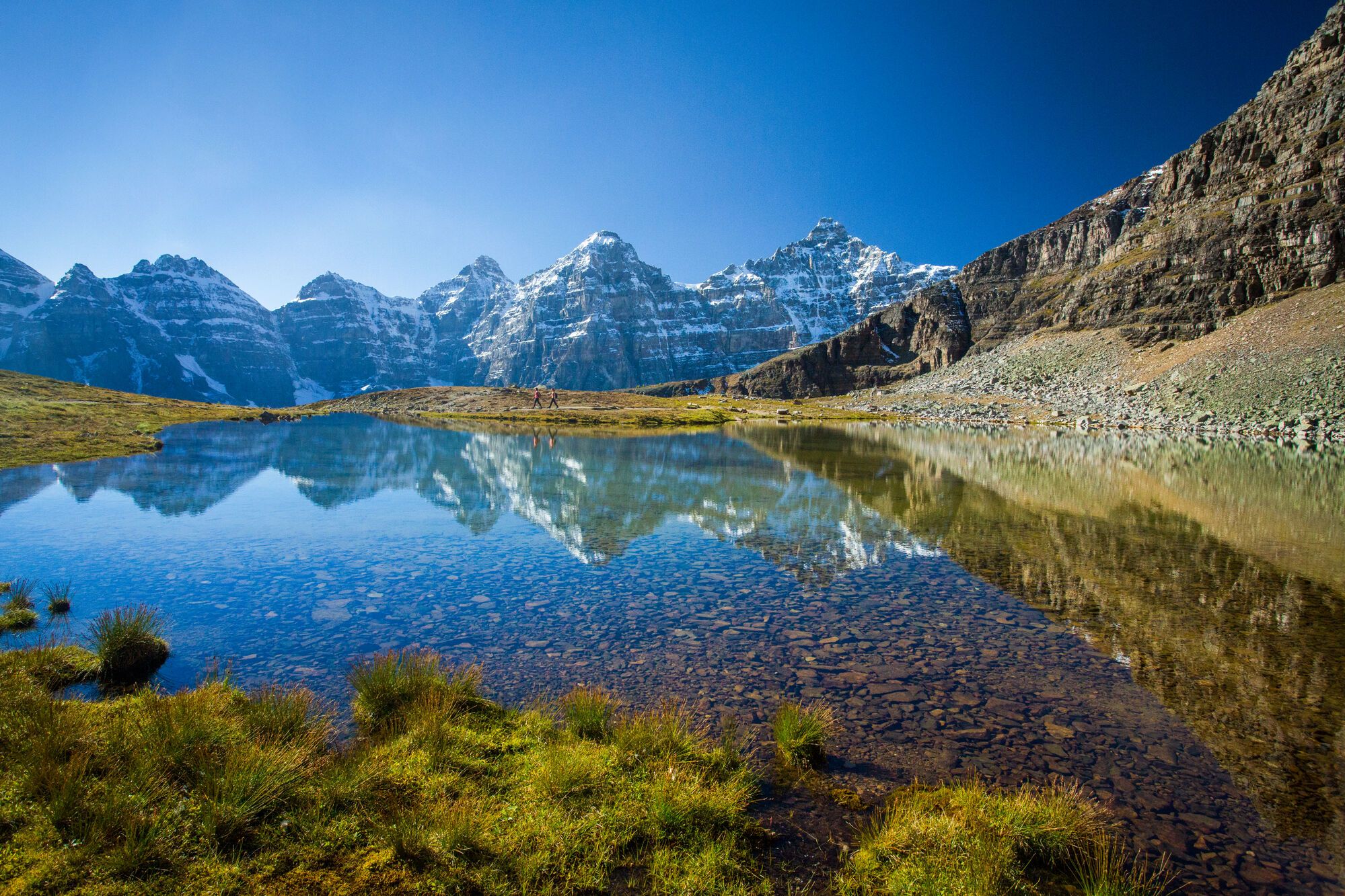
Spectacular road trip hikes – discover Calgary and Southern Alberta
Other adventures in the Rocky Mountains


Tips from the Community

It is a wonderfully located lake in Yoho National Park. The left side of the lake is good for hiking. The right side is a bit more difficult with many muddy spots, where footbridges are currently being built to improve the situation. Sturdy footwear is highly recommended at the moment. A boat trip rounds off the hike with the great mountain views. Highly recommended.
0
0

This trail is an easy loop through the forested grounds of Banff’s Tunnel Mountain campgrounds, and is a wide, well-maintained path popular for walking, biking, and trail running. The route winds through wooded sections and open viewpoints with beautiful views of the surrounding mountains and the Bow Valley, and along the way, you’ll likely see plenty of elk, commonly seen in this area. Although the trail stays close to campground roads and facilities in places, its gentle grades and convenient access make it a great option for a relaxed walk or a warm-up before exploring the surrounding network of hiking trails. * * It's important to note that this is active bear country, so be sure to stay aware and give wildlife plenty of space while exploring the trail.
0
0

Along the Spur Line Trail near Canmore Pond, you’ll pass the Altered Ground public art installation by local sculptor Tony Bloom. The steel sculpture was installed in 2020 and draws inspiration from the layered rock formations of the surrounding Rocky Mountains. The Spur Line Trail itself is a wide, mostly gravel multi-use path for walking and cycling that connects several neighbourhoods in Canmore.
0
0
The Canmore Engine Bridge spans the Bow River just east of downtown Canmore. Originally built for railway traffic during the region’s mining era, the steel bridge has been repurposed as a pedestrian and cycling crossing along the Trans Canada Trail. Today it offers wide views of the Bow River and the surrounding Rocky Mountain peaks, making it a memorable point along the trail into Canmore.
0
0
The Trans Canada Trail Information Kiosk is a quick stop where you can check maps, local route details, and nearby trail connections before heading out. It sits right along the pathway, making it an easy spot to orient yourself, plan your next section, or take a short break. A simple but useful waypoint on this stretch of the Trans Canada Trail.
0
0

Well-marked path with art objects that have been cleverly integrated into the natural surroundings.
2
0

Frequently Asked Questions
How many running routes are available in the Rocky Mountains?
The Rocky Mountains offer a wide array of options for runners, with over 240 routes available. These trails cater to various fitness levels, from easy loops to more challenging paths with significant elevation gains.
What kind of terrain can I expect on jogging trails in the Rocky Mountains?
Jogging trails in the Rocky Mountains feature incredibly diverse terrain. You'll find everything from mostly paved, accessible paths to rugged, rocky trails with significant elevation changes. The landscape includes majestic high peaks, alpine tundra, glacial formations, and clear mountain lakes, providing varied running environments across different ecosystems.
Are there easy running routes for beginners or casual joggers?
Yes, there are several easy running routes perfect for beginners or those looking for a more relaxed jog. For example, the Running loop from Whistlers Campground is an easy 4.7 km (2.9 miles) trail that offers a pleasant experience without significant challenges.
Can I find challenging long-distance running trails in the Rocky Mountains?
Absolutely. The Rocky Mountains are home to many challenging routes for experienced runners. For instance, the Arts In Nature Trail – Bow Falls loop from Banff is a difficult 16.4 km (10.2 miles) trail, and the Prairie Mountain loop from Elbow Falls Provincial Recreation Area is an 8.2 km (5.1 miles) difficult route with substantial elevation gain, perfect for those seeking a strenuous workout.
What are some scenic viewpoints or natural features I might see while running?
The Rocky Mountains are renowned for their breathtaking scenery. While running, you might encounter majestic mountain peaks, pristine lakes like Lake Annette, or stunning viewpoints such as the View of Banff Springs Hotel. Many trails also wind through dense forests and alpine meadows, offering opportunities to spot diverse wildlife.
Are there any running routes that feature waterfalls?
Yes, the region boasts spectacular waterfalls that can be incorporated into your running adventures. The Johnston Canyon Entrance loop from Lower Falls is a moderate 5 km (3.1 miles) route that takes you near the beautiful Johnston Canyon Waterfalls. Other notable waterfalls in the area include Athabasca Falls and Takakkaw Falls.
Are there family-friendly jogging trails in the Rocky Mountains?
Many trails in the Rocky Mountains are suitable for families, offering easier grades and shorter distances. While specific family-friendly routes are not detailed in this guide, look for trails marked as 'easy' or those around popular lakes like Emerald Lake, which often have well-maintained paths suitable for all ages.
Are dogs allowed on running trails in the Rocky Mountains?
Dog policies vary significantly across the Rocky Mountains, especially within national parks like Rocky Mountain National Park. Generally, dogs are permitted on many trails but must be kept on a leash. However, some areas, particularly those with sensitive wildlife or high visitor traffic, may have restrictions. Always check local regulations for the specific trail or park you plan to visit.
What is the best time of year to go running in the Rocky Mountains?
The best time for running in the Rocky Mountains is typically from late spring through early fall (May to October). During these months, trails are generally clear of snow, wildflowers are abundant, and the weather is milder. Summer offers vibrant scenery, while fall brings stunning foliage. High-altitude areas can still have snow into early summer, so always check conditions before heading out.
Are there loop running trails available in the Rocky Mountains?
Yes, many running routes in the Rocky Mountains are designed as loops, allowing you to start and finish at the same point. Examples include the popular Running loop from Emerald Lake, a moderate 5.3 km (3.3 miles) path, and the Banff Sign – Arts In Nature Trail loop from Banff, which is 9.9 km (6.1 miles).
How can I get to the running trails using public transport?
Public transport options to trailheads in the Rocky Mountains vary by location. Major towns like Banff and Canmore often have local bus services that connect to popular trailheads. For areas within national parks, shuttle services are frequently available, especially during peak seasons, to reduce traffic and parking congestion. It's advisable to check the specific park or town's transportation website for current schedules and routes.
Where can I find parking for running trails in the Rocky Mountains?
Parking is generally available at most major trailheads throughout the Rocky Mountains. However, popular spots, especially within national parks like Rocky Mountain National Park, can fill up quickly, particularly during peak season. Arriving early is recommended. Some areas may require a parking pass or have designated parking zones. Always check local signage and park websites for specific parking information.
What do other runners say about the trails in the Rocky Mountains?
The running trails in the Rocky Mountains are highly rated by the komoot community, with an average score of 4.4 stars from over 45 reviews. More than 3,700 runners have used komoot to explore the region, often praising the stunning natural beauty, varied terrain, and the sense of solace found amidst the majestic mountain landscapes.
Most popular routes in the Rocky Mountains
Most popular attractions in the Rocky Mountains

Get inspired with the komoot mobile app


Explore more
Browse the best Running Trails & Routes in other regions.
