The best mountain hikes around Finhaut
4.9
(50)
560
hikers
27
hikes
Mountaineering routes around Finhaut are situated in the Valais region of Switzerland, characterized by dramatic alpine landscapes. The area features high mountains, glaciers, and deep valleys, offering panoramic views of the Mont-Blanc massif and the Trient Glacier. Notable landmarks include the Emosson and Vieux-Emosson Dams, which create large artificial lakes, and the Tête Noire Gorges. The region's environment is wild and well-preserved, with several protected areas.
Best mountaineering routes around Finhaut
- The most popular mountaineering route is Bérard Waterfall –…
Last updated: August 21, 2026
4.7
(6)
39
hikers
11.7km
04:47
630m
630m
Hard mountaineering route. Good fitness required. Sure-footedness, sturdy shoes and alpine experience required.
5.0
(2)
32
hikers
Hard mountaineering route. Good fitness required. Sure-footedness, sturdy shoes and alpine experience required.

Sign up for free
4.8
(9)
39
hikers
Hard mountaineering route. Very good fitness required. Mostly accessible paths. Sure-footedness required.
20
hikers
13.8km
04:41
690m
690m
Moderate mountaineering route. Good fitness required. Mostly accessible paths. Sure-footedness required.
5.0
(4)
15
hikers
Hard mountaineering route. Very good fitness required. Sure-footedness, sturdy shoes and alpine experience required.
Get access to more routes and recommendations from other explorers.
Sign up for free
Already have an account?
Our route recommendations are based on thousands of hikes, rides, and runs completed by other people on komoot.
Start today with a free account
Your next adventure awaits.
Login or Signup
Popular around Finhaut

Alpine Passes Trail – hiking 700km across Switzerland

Alpine Passes Trail in Switzerland – 34 stages of pure mountain fun
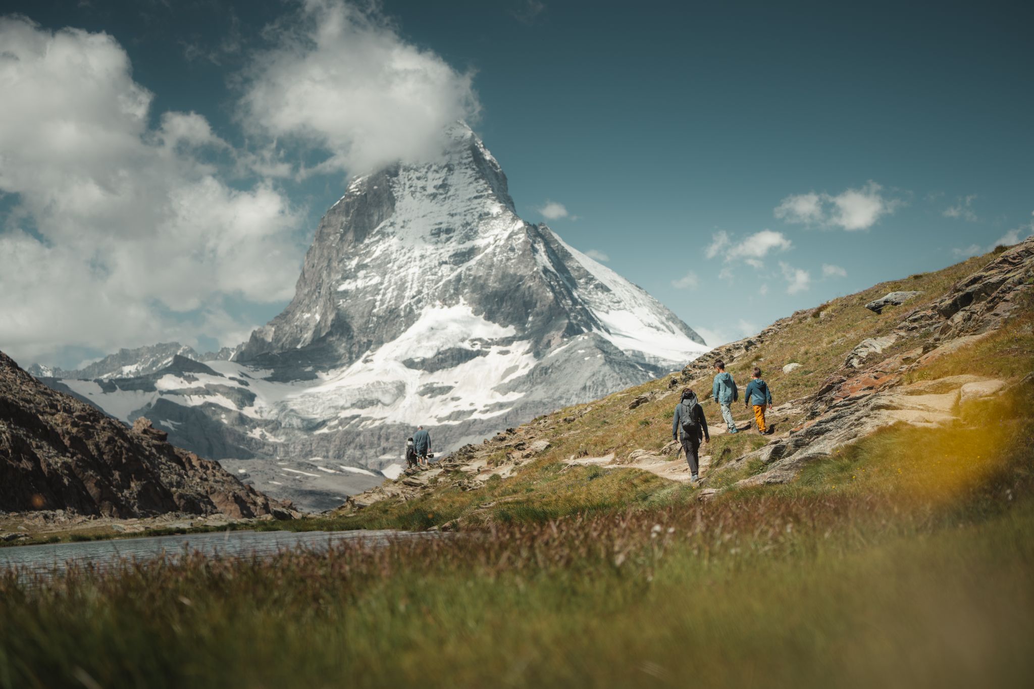
Grandiose glaciers and peaks – panoramic Tours in Switzerland’s Valais
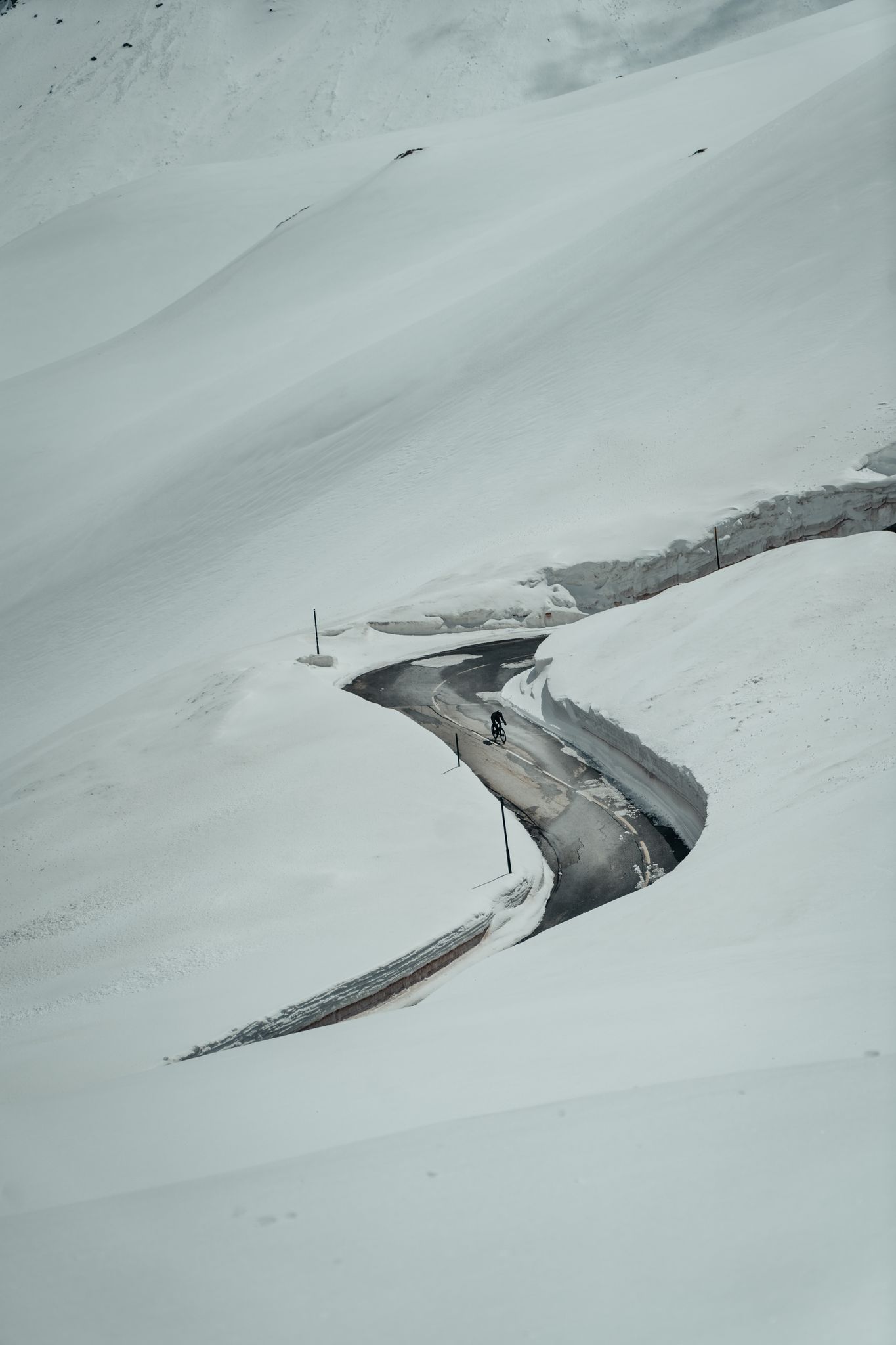
Finding the last bits of snow — early spring riding in the Alps
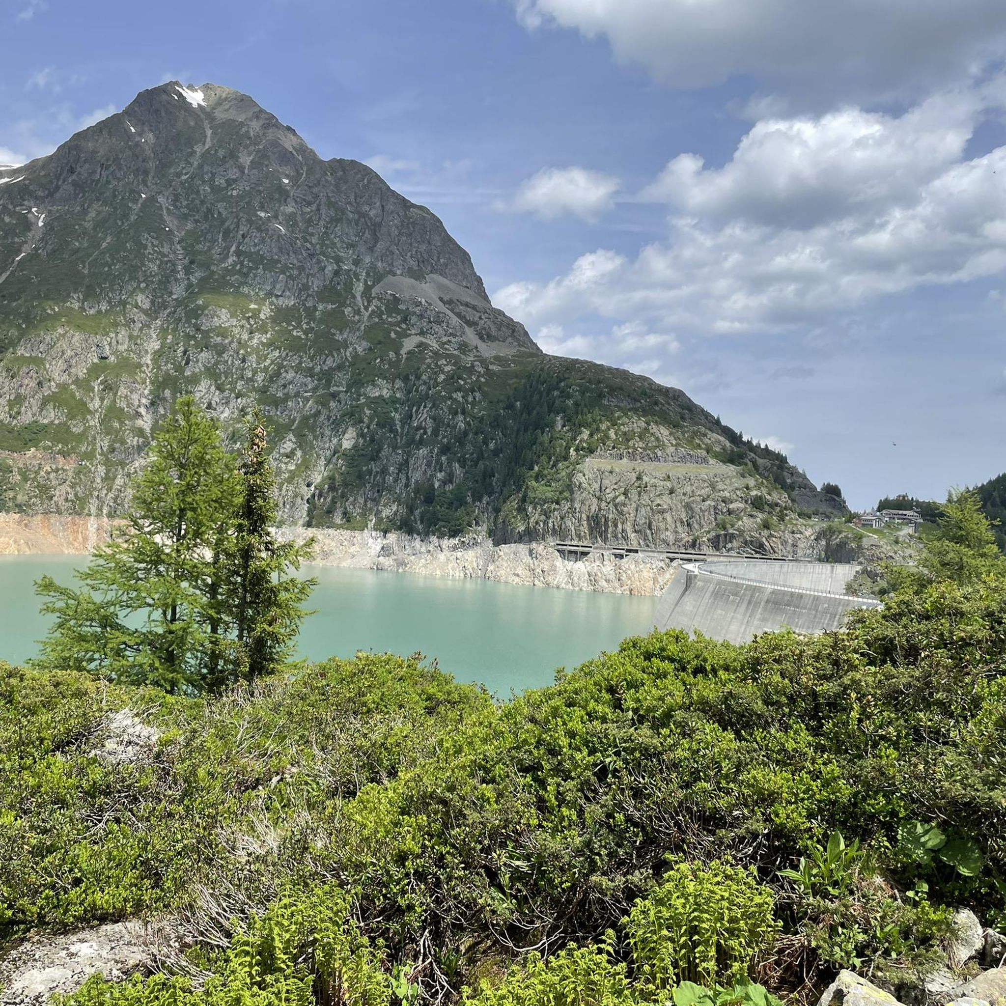
MTB Trails around Finhaut
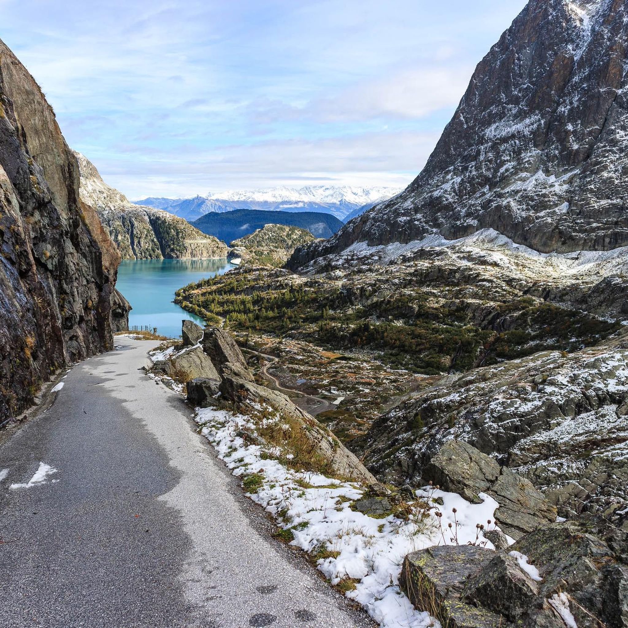
Running Trails around Finhaut
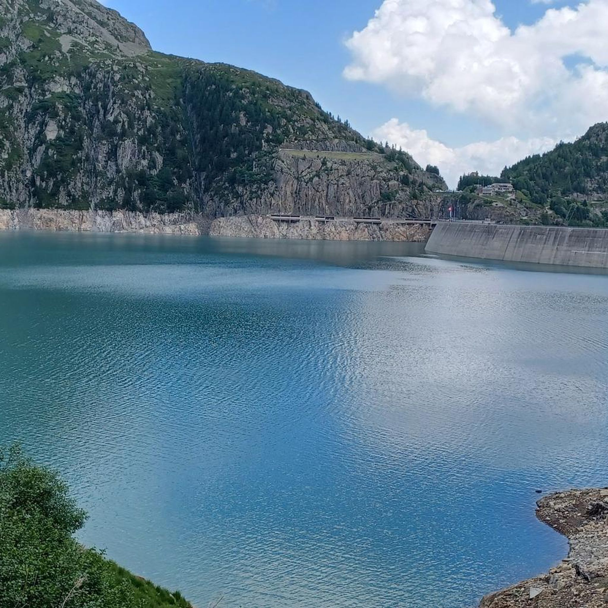
Hiking around Finhaut
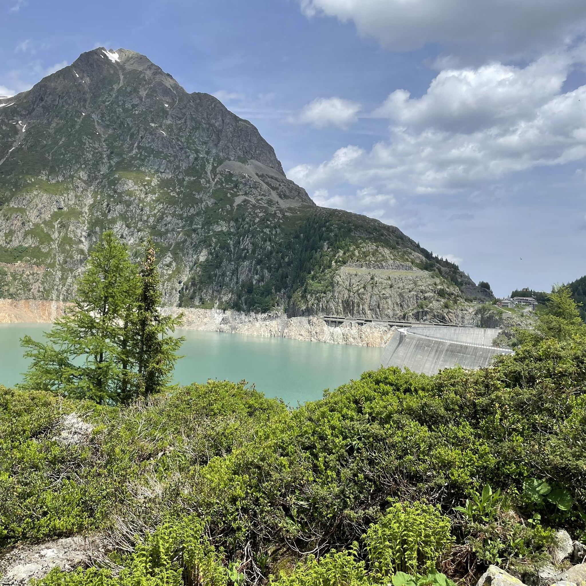
Cycling around Finhaut
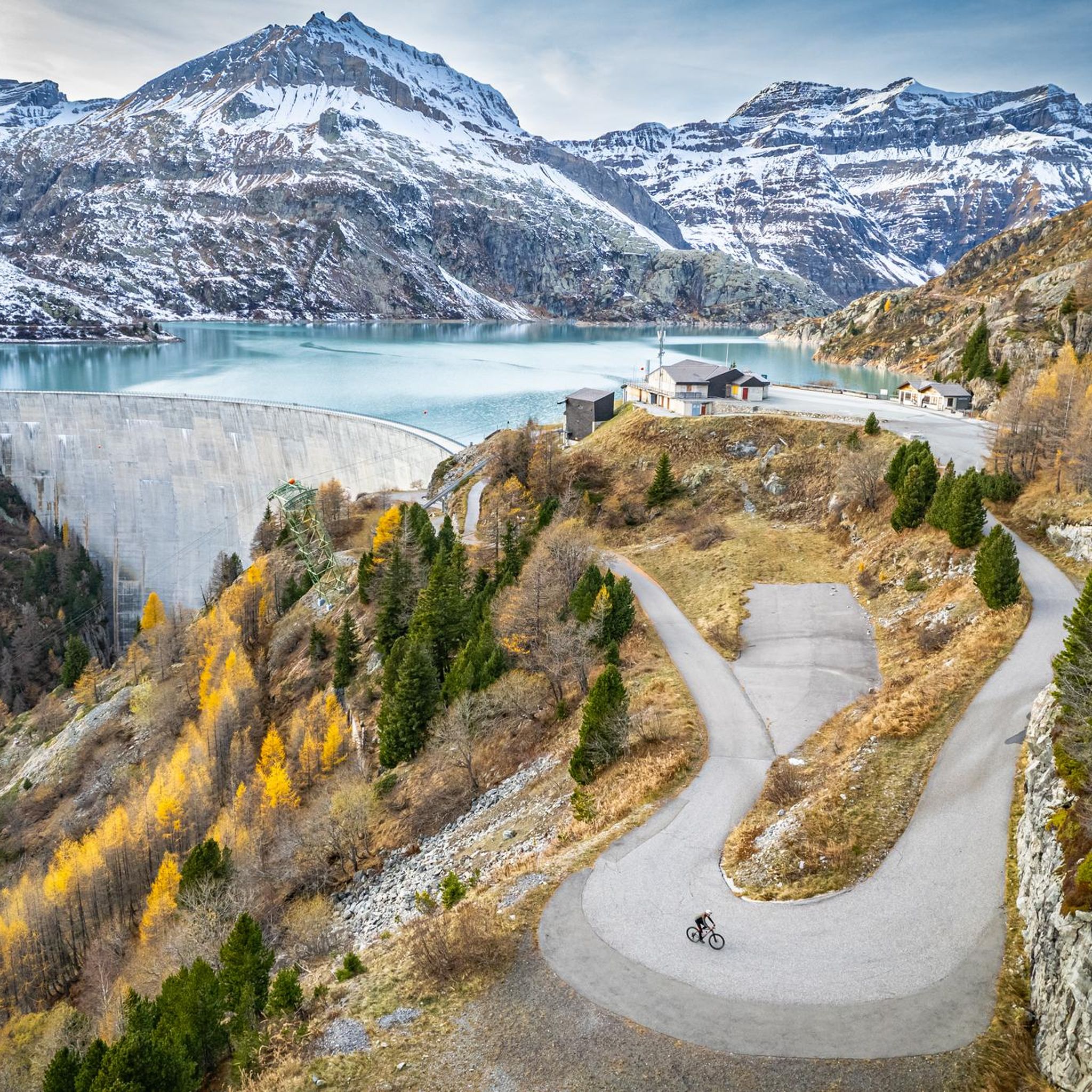
Road Cycling Routes around Finhaut
Gravel biking around Finhaut
Other adventures around Finhaut


Tips from the Community

Located on the edge of a nature reserve, you can only bivouac near the refuge; it is forbidden above. Ask the warden. Dogs and drones are also forbidden in nature reserves.
1
0

Beautiful and easy to access
0
0
fairly flat hike, except for the steep section at the end. To enjoy the waterfalls, do it the day after it rains!
0
0

Magical place with a great welcome and above all an incredible view.
0
0

a very beautiful via ferrata for everyone, without vertigo
0
0

Impressive waterfall of several meters in the Cirque du Fer à Cheval.
0
0
The Cirque du Fer-à-Cheval owes its name to the semicircular shape of its cliffs. Its impressive height (2,000 meters) gives rise to a multitude of waterfalls, the number of which varies depending on the season. It is very easy to access. Twin to the Pyrenean Gavarnie, it is the most visited and best-known site in Sixt-Fer-à-Cheval. Surrounding the eastern slope of the Giffre Valley, it is an immense limestone amphitheater 4 to 5 km long, whose steep cliffs can reach 2,000 m in height. It is the largest Alpine cirque, dominated by the Corne du Chamois. It rests on the steep slopes of the Tenneverge (2,985 m). In June, more than thirty waterfalls gush from its walls.
1
0

Very beautiful nature to linger in. There's also an alpine hut at the top where you can get a drink 😉
1
0
Frequently Asked Questions
What is the general difficulty level of mountaineering routes around Finhaut?
Finhaut offers a range of mountaineering routes, primarily catering to experienced individuals. Out of 29 available routes, 8 are considered moderate, while 21 are difficult, involving significant elevation gain and challenging alpine terrain. You'll find options for various ability levels, from moderate ascents to demanding expeditions.
Are there any mountaineering routes that feature waterfalls?
Yes, several routes in the area offer views of impressive waterfalls. For a moderate experience, consider the Bérard Waterfall – Refuge de la Pierre at Bérard loop from Le Buet. If you're seeking a more challenging adventure, the Bérard Waterfall – Col de Salenton loop from Le Buet is a difficult route that also passes by waterfalls.
Can I find circular mountaineering routes in Finhaut?
Many of the mountaineering routes around Finhaut are designed as loops, allowing you to start and finish at the same point. Examples include the challenging Bérard Waterfall – Col de Salenton loop from Le Buet, or the moderate Lac du Plan des lacs – Vue du bout du monde loop from Cirque du Fer à Cheval (parking).
Are there routes that pass by the Emosson or Vieux-Emosson Dams, or the dinosaur footprints?
Absolutely. The Emosson and Vieux-Emosson Dams are significant landmarks in the region. You can explore them on the difficult View of Lac d'Emosson – Dinosaur Footprints loop from Lac d'Émosson. This route is particularly noteworthy as it takes you past the protected site of fossilized dinosaur footprints, dating back millions of years, near Vieux-Emosson.
What kind of views can I expect on mountaineering routes in Finhaut?
Mountaineering in Finhaut offers breathtaking panoramic views. You'll frequently encounter stunning vistas of the Mont-Blanc massif, the Trient Glacier, and deep alpine valleys. Routes like the Refuge du Col de Balme – View of Refuge Albert Premier loop from Les Grandes Otanes provide expansive mountain scenery and views of glaciers.
What do other mountaineers enjoy most about the routes in Finhaut?
The mountaineering routes in Finhaut are highly rated by the komoot community, with an average score of 4.8 stars from over 50 reviews. Mountaineers often praise the dramatic alpine landscapes, the wild and well-preserved environment, and the challenging nature of the trails, which offer rewarding views of glaciers and high mountain passes.
Are there any specific mountain peaks or lakes I can see along the routes?
Yes, the Finhaut region is rich in natural landmarks. Along your routes, you might encounter views of prominent peaks such as Aiguillette des Posettes or Mont Buet. The area also features beautiful alpine lakes, including Lac Blanc, Lacs des Chéserys, and the impressive Lac d'Émosson.
How many mountaineering routes are available in Finhaut?
There are nearly 30 distinct mountaineering routes available around Finhaut, offering a wide variety of experiences. This extensive network provides options for different skill levels and preferences, from moderate ascents to challenging expeditions across high mountains and glaciers.
What is the best time of year for mountaineering in Finhaut?
The best time for mountaineering in Finhaut is typically during the warmer months, from late spring to early autumn (June to September), when trails are generally free of snow and weather conditions are more stable. This period allows for optimal access to high mountain passes and glaciers, and for enjoying the full alpine experience.
Are there any protected natural areas that mountaineering routes pass through?
Yes, Finhaut is known for its wild and well-preserved natural environment. Several areas, such as the Tête des Six-Jeurs and Tête des Crêts, are protected. Mountaineering routes often traverse these regions, allowing you to experience their unique flora, fauna, and geological formations while respecting the conservation efforts.
Can I access mountaineering routes in Finhaut using public transport?
Finhaut is accessible by public transport, and the VerticAlp Emosson offers a unique multi-railway journey up to the Emosson dam, which can serve as a starting point for some routes. While specific public transport links to every trailhead may vary, the region generally supports access to its outdoor attractions.
Most popular routes around Finhaut
Most popular attractions around Finhaut

Get inspired with the komoot mobile app


Explore more
Browse the best Mountain Hikes & Routes in other regions.
