The best walks and hikes around Mérial
4.6
(1146)
8,951
hikers
220
hikes
Hiking around Mérial offers exploration within the Aude department of the Occitanie region, characterized by a mountainous landscape with elevations ranging from 880 to over 2,000 meters. The terrain includes varied features such as high peaks, mountain lakes, and deep gorges. This diverse environment provides a range of hiking experiences, from forest paths to more open, elevated routes.
Best hiking trails around Mérial
- The most popular hiking route is Le Pic de Tarbesou - loop starting from the Col de…
Last updated: October 7, 2026
4.8
(114)
1,093
hikers
11.7km
04:45
600m
600m
Moderate hike. Good fitness required. Mostly accessible paths. Sure-footedness required.
4.7
(59)
363
hikers
10.3km
04:28
690m
690m
Moderate hike. Good fitness required. Mostly accessible paths. Sure-footedness required.

4.7
(13)
116
hikers
Moderate hike. Good fitness required. Mostly accessible paths. Sure-footedness required.
5.0
(2)
25
hikers
Hard hike. Very good fitness required. Mostly accessible paths. Sure-footedness required.
5.0
(1)
9
hikers
10.8km
03:21
390m
390m
Moderate hike. Good fitness required. Easily-accessible paths. Suitable for all skill levels.
Get access to more routes and recommendations from other explorers.
Already have an account?
Our route recommendations are based on thousands of hikes, rides, and runs completed by other people on komoot.
Start today with a free account
Your next adventure awaits.

Tips from the Community

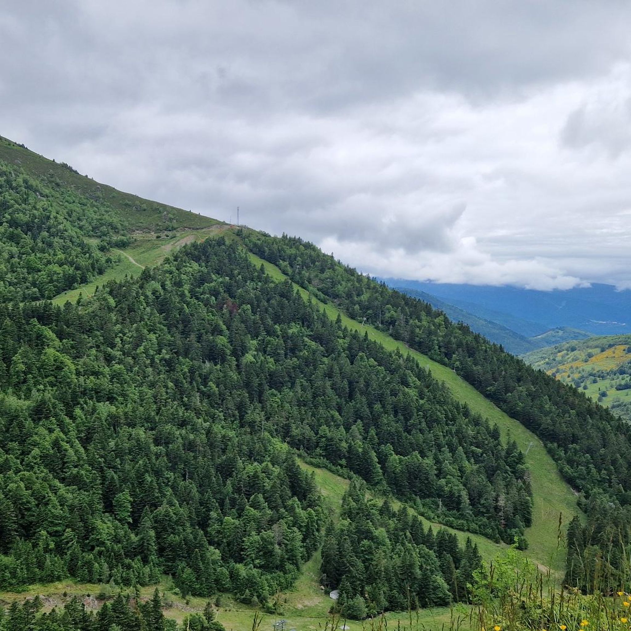
Magnificent landscape at the summit of the peak. Pretty flower and some horses Nice hike don't forget to drink... water
1
0


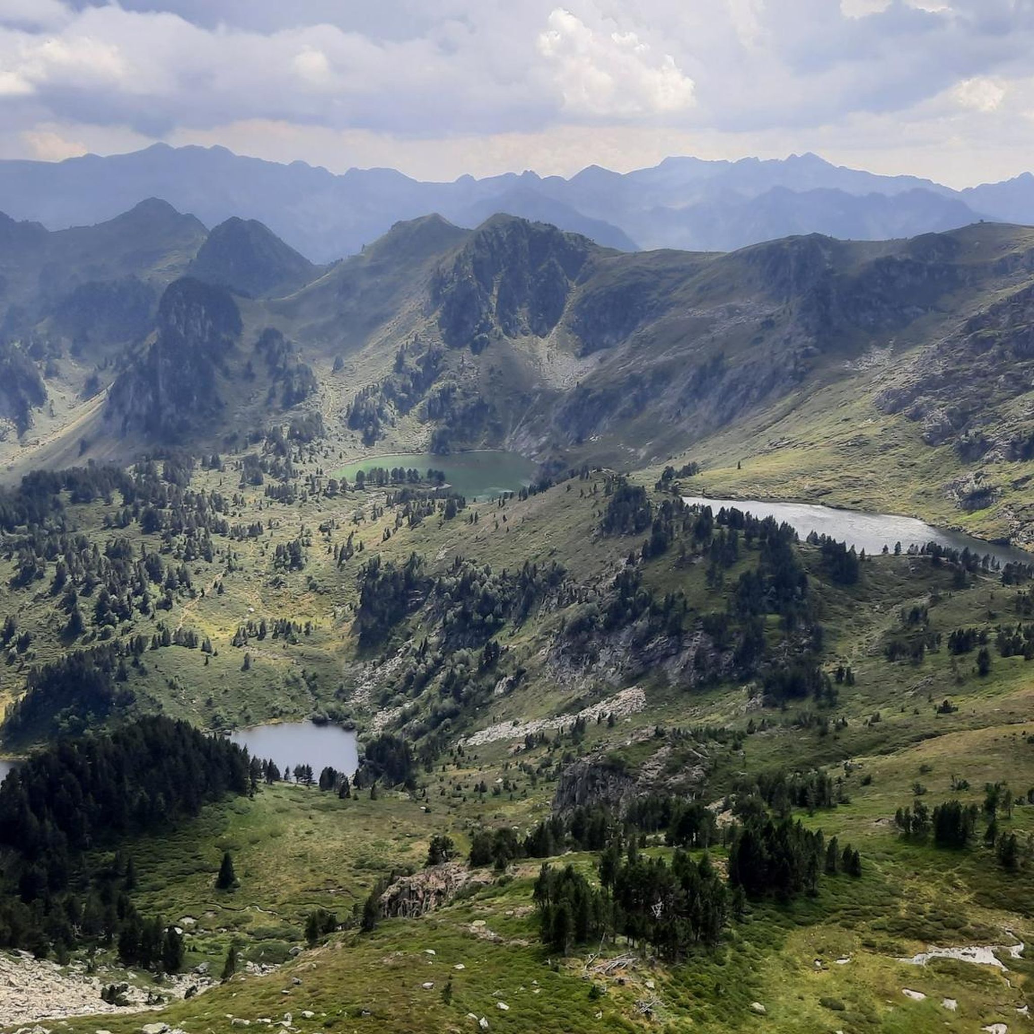
The setting here is truly stunning. The Rabassoles ponds shine in the valley, standing out against the surrounding granite cliffs. You can see the Rabassoles pond (1,851 metres), the Blue pond (1,920 metres) and the Black pond (1,970 metres).
2
0

When you hike up to this view of the Etang Bleu, you are rewarded with a breathtaking sight where the bright blue waters of the pond are nestled among the rugged peaks of the Pyrenees. The Etang Bleu, known for its deep blue and strikingly clear waters, is surrounded by lush vegetation and rocky outcrops, creating a tranquil and almost magical atmosphere. You can take advantage of this peaceful spot to take a break and soak up the natural beauty of the area before continuing your exploration of the nearby Etang de Rabassoles and its equally captivating landscape.
2
0

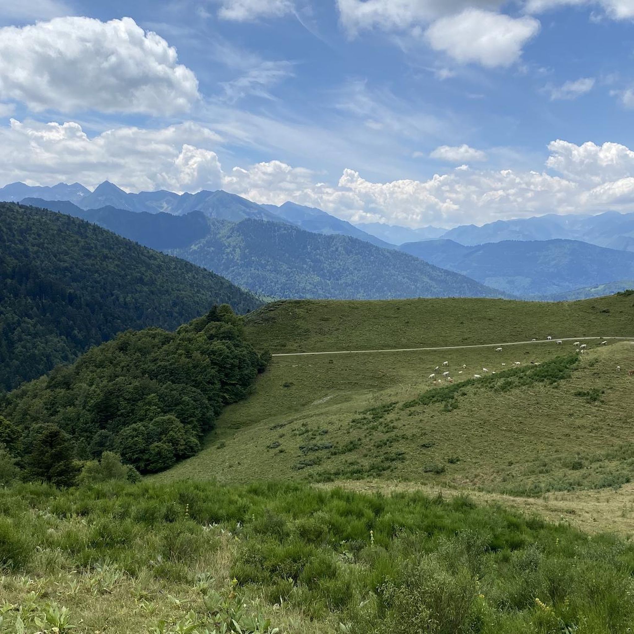
Col del Pradel is the brother (smaller or bigger) of the Col de Pailhères given its proximity. They are twinned because it is inevitable to climb one without passing the other. Once you move to the area to upload one, you also take the opportunity to upload the other. Col de Pradel is one of the ports that I like. Very narrow gravel road (old fashioned), with tree-lined sections and open sections with good views. A port that seems like you don't know where it takes you, and that is part of its charm. It is a tough port on both sides, although they are very different. I leave you its altimetry prepared by @cyclingcols --> http://www.cyclingcols.com/col/Pradel Col de Pradel does not disappoint any cyclist!
0
1

The Col du Pradel culminates at an altitude of 1,673 meters. It marks the boundary between the departments of Aude and Ariège while offering beautiful views.
0
0

gorgeous view! and the way from there down to the lakes is definitely worth securing.
2
1
The Col du Pradel culminates at 1,673 meters above sea level. The climb from Ax-les-Thermes is 14.4 kilometers long at an average of 6.6% with passages at more than 11%.
0
0
Frequently Asked Questions
How many hiking trails are available around Mérial?
Mérial, situated in the Aude department, offers a wide range of hiking opportunities. There are over 200 routes available, catering to various skill levels and preferences, from leisurely walks to more challenging mountain ascents.
What kind of terrain can I expect on hikes near Mérial?
The terrain around Mérial is predominantly mountainous, with elevations ranging from 880 to over 2,000 meters. You'll encounter varied landscapes, including forest paths, open elevated routes, and significant features like the Pic de Tarbesou. The area is characterized by its natural beauty, featuring mountain lakes and deep gorges.
Are there any easy or family-friendly hiking options in Mérial?
Yes, Mérial offers several options suitable for families or those seeking easier walks. Approximately 50 of the available routes are classified as easy. While specific family-friendly routes aren't detailed here, these easier trails generally provide a good starting point for less experienced hikers or those with children.
Can I find circular hiking routes in Mérial?
Yes, Mérial is well-suited for circular hikes. Many routes are designed as loops, allowing you to start and finish at the same point. For example, the Le Pic de Tarbesou - loop starting from the Col de Pailhères car park is a popular moderate circular trail.
What natural attractions or landmarks can I see while hiking near Mérial?
The region around Mérial is rich in natural beauty. You can explore stunning natural monuments like the Gorges de la Frau, or discover serene lakes such as Lake Campauleil and Laurenti Lake. The area also features unique natural phenomena like the Fontaine Intermittente de Fontestorbes, located about 14 km away.
Are there any hikes that offer great views?
Absolutely. Many trails in Mérial provide breathtaking vistas. For instance, the View of the Étang de Rabassoles – Étang de Pailhères loop from Port de Pailhères offers stunning lake views. You can also find excellent viewpoints like Viewpoints over the Rabassoles ponds and View of Étang Bleu, which are accessible via various routes.
What is the best time of year to go hiking in Mérial?
Mérial's mountainous environment means hiking conditions can vary significantly by season. While specific recommendations depend on the trail and elevation, generally, late spring through early autumn offers the most favorable weather for hiking. During these months, trails are typically clear of snow, and temperatures are pleasant. Always check local weather conditions before heading out.
What do other hikers enjoy most about hiking in Mérial?
The komoot community highly rates the hiking experience in Mérial, with an average score of 4.6 stars from over 900 reviews. Hikers often praise the diverse mountainous terrain, the scenic beauty of the lakes and gorges, and the variety of routes that cater to different ability levels. The area's natural tranquility and stunning views are frequently highlighted.
Are there any moderate difficulty hikes that are particularly recommended?
Yes, Mérial has a strong selection of moderate hikes, with 113 routes falling into this category. A popular choice is the Pic de Tarbesou – Étang de Pailhères loop from Port de Pailhères, which offers rewarding views of the mountain and a nearby lake. Another option is the Pic de Tarbesou – View of the Pyrenees loop from Port de Pailhères, providing panoramic views.
Is parking available at trailheads in Mérial?
While specific parking details for every trailhead are not available, many popular routes in mountainous regions like Mérial typically have designated parking areas, especially at common starting points like mountain passes. For example, the Le Pic de Tarbesou loop explicitly mentions starting from the Col de Pailhères car park, indicating parking availability there.
Are there any hikes with less elevation gain for a more relaxed experience?
For a more relaxed experience with less elevation gain, you might consider routes classified as easy. While specific low-gain routes are not detailed, the region does offer trails with gentler ascents. For example, the Coumeille de l'Ours Pass – Étang de Pailhères loop from Port de Pailhères has a more modest elevation gain compared to some of the higher peak ascents.
Most popular routes around Mérial
Most popular attractions around Mérial

Get inspired with the komoot mobile app


Explore more
Browse the best Hikes in other regions.
