The best mountain hikes around Ornolac-Ussat-Les-Bains
5.0
(2)
15
hikers
4
hikes
Mountaineering routes around Ornolac-Ussat-Les-Bains traverse a diverse and rugged natural landscape within the Ariège department of the Occitanie region. The area is characterized by mountainous terrain, dense forests, and the presence of the Ariège River, with altitudes ranging from 481 meters to 1482 meters. These natural features in the Pyrenees Ornolac-Ussat-Les-Bains region provide varied gradients and challenges for mountaineers.
Best mountaineering routes around Ornolac-Ussat-Les-Bains
- The most popular mountaineering route is Étang d'Artax – Roc de Querquéou loop from Gourbit,…
Last updated: August 28, 2026
8
hikers
11.0km
05:32
900m
910m
Hard mountaineering route. Very good fitness required. Sure-footedness, sturdy shoes and alpine experience required.
2
hikers
14.1km
04:31
560m
560m
Moderate mountaineering route. Good fitness required. Easily-accessible paths. Suitable for all skill levels.

Sign up for free
5.0
(1)
4
hikers
12.5km
05:42
940m
940m
Hard mountaineering route. Very good fitness required. Sure-footedness, sturdy shoes and alpine experience required.
5.0
(1)
1
hikers
Moderate mountaineering route. Good fitness required. Mostly accessible paths. Sure-footedness required.
Our route recommendations are based on thousands of hikes, rides, and runs completed by other people on komoot.
Start today with a free account
Your next adventure awaits.
Login or Signup


Tips from the Community

A must-see in Ariège that you should do at least once in your life. The view of the various mountain ranges is splendid.
0
0

Be careful, expert route but what a view
0
0


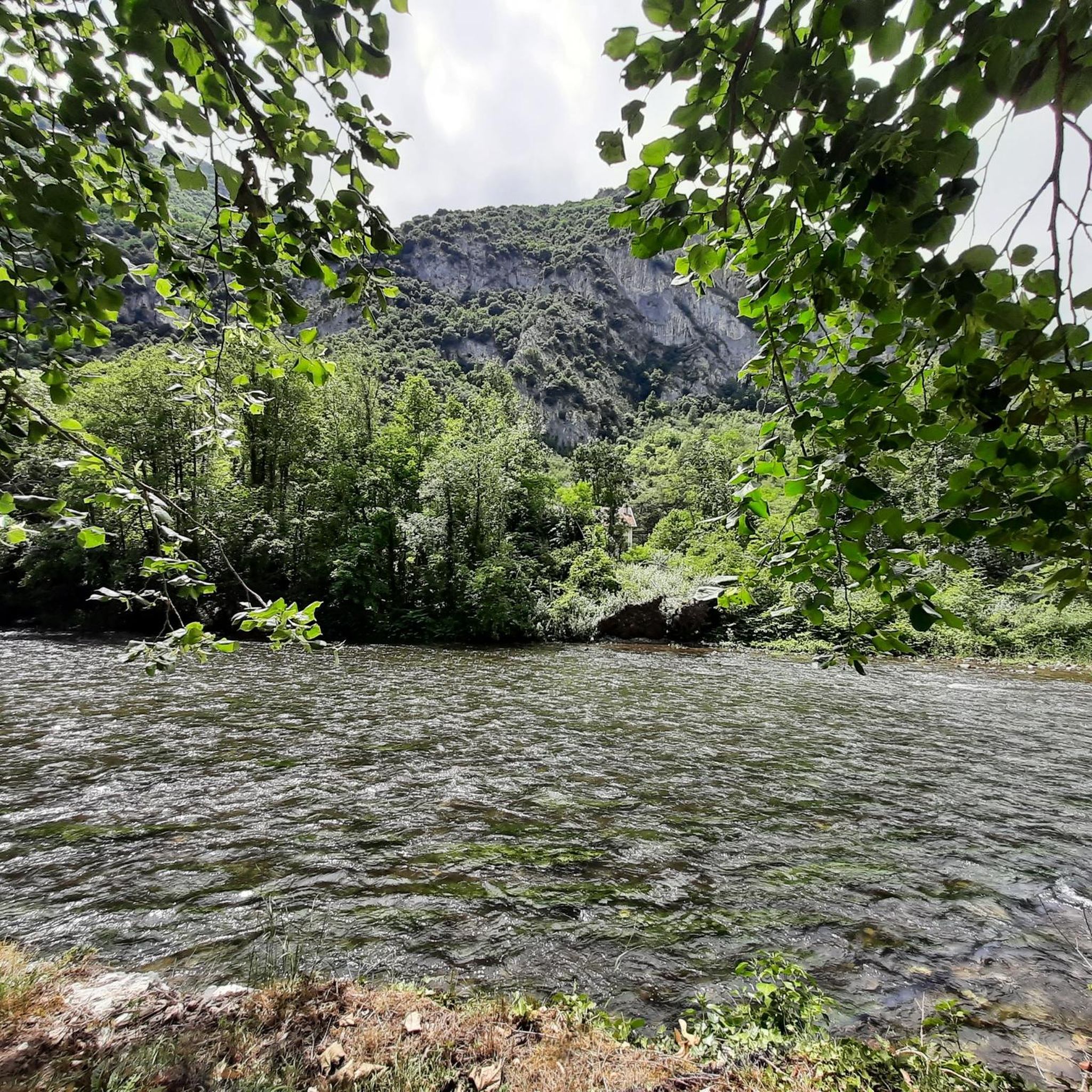
Beautiful town with idyllic river views.
0
0

The peak of Saint-Barthélemy in the Tabe massif culminates at 2,348 m and offers a magnificent view of the massif.
0
0
Located at 1734 meters in the Tabe massif, the Appy pond allows you to admire the Ariège mountains.
0
1

The view of the mountains is awesome :)
1
0
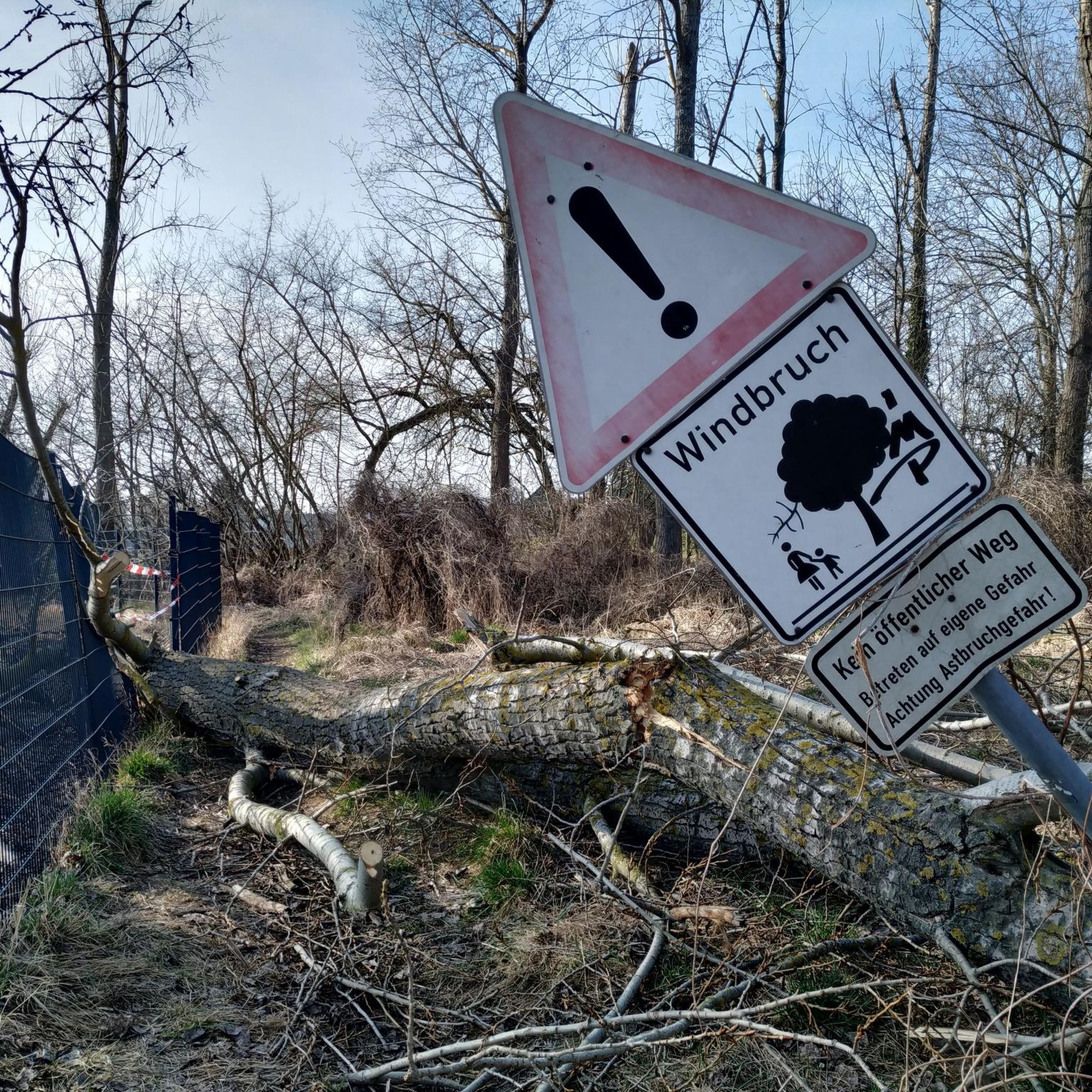
Can be windy even in summer. Bring windstoppers
1
0
Frequently Asked Questions
How many mountaineering routes are available around Ornolac-Ussat-Les-Bains?
There are 6 mountaineering routes documented around Ornolac-Ussat-Les-Bains. These routes range from moderate to difficult, offering varied challenges across the mountainous terrain of the Ariège department.
Are there any easy mountaineering routes suitable for beginners?
While there are no routes specifically graded as 'easy' for mountaineering in this selection, there are 2 moderate routes. The region's mountainous terrain generally presents significant elevation changes. A good option for those looking for a moderate challenge is the Notre-Dame de Sabart Chapel – Tarascon-sur-Ariège loop from Tarascon-sur-Ariège, which covers 14.5 km with over 560 meters of elevation gain.
What is the best time of year for mountaineering in Ornolac-Ussat-Les-Bains?
The best time for mountaineering in the Ornolac-Ussat-Les-Bains area, part of the Pyrenees, is typically from late spring through early autumn (May to October). During these months, the weather is generally more stable, and trails are clearer of snow, offering better conditions for ascents and panoramic views. Winter mountaineering is possible but requires specialized equipment and experience due to snow and ice conditions.
Are there any circular mountaineering routes in the area?
Yes, many of the mountaineering routes around Ornolac-Ussat-Les-Bains are circular. For example, the challenging Mont Fourcat loop from Arnave takes you to the summit of Mount Fourcat, offering superb panoramic views. Another option is the Mont d'Olmes loop from Les Monts d'Olmes, which provides a demanding circuit through mountainous landscapes.
What kind of natural attractions can I expect to see along these routes?
The mountaineering routes in this region offer access to diverse natural attractions. You can encounter impressive mountain peaks like Mount Fourcat and Saint-Barthélemy Peak, as well as stunning viewpoints such as Roc de Querquéou. There are also natural monuments like the Devil's Pond and the beautiful Cascades de la Piche (waterfalls).
Are there any routes that lead to prominent viewpoints or summits?
Absolutely. The Mont Fourcat loop from Arnave is a classic choice, leading to the summit of Mount Fourcat, renowned for its panoramic views of the Ariège valley and surrounding mountains. Another route, the Étang d'Artax – Roc de Querquéou loop from Gourbit, includes the Roc de Querquéou, which offers excellent vistas.
What do other mountaineers say about the routes in Ornolac-Ussat-Les-Bains?
The mountaineering routes around Ornolac-Ussat-Les-Bains are highly regarded by the komoot community, holding an average rating of 4.9 stars from over 5 reviews. Mountaineers often praise the challenging ascents, the diverse landscapes, and the rewarding panoramic views from the summits.
Are the mountaineering routes suitable for families?
The mountaineering routes listed are generally graded as moderate to difficult, involving significant elevation gain and rugged terrain. While some families with experienced and fit children might tackle the moderate routes, they are not typically considered 'family-friendly' in the sense of easy walks. For families, it's best to assess individual fitness levels and choose routes carefully, perhaps starting with shorter, less strenuous hikes in the broader Ariège region.
Can I bring my dog on these mountaineering routes?
Many trails in the Pyrenees are dog-friendly, but it's crucial to check local regulations for specific routes, especially those passing through nature reserves or protected areas where dogs might be restricted or require to be on a leash. Given the challenging nature of these mountaineering routes, ensure your dog is fit enough for long ascents and descents, and always carry enough water for both of you.
Is public transport available to reach the trailheads?
While Ornolac-Ussat-Les-Bains is accessible by public transport, reaching specific mountaineering trailheads often requires a car. Some routes might start from villages that have limited bus services, but direct access to remote starting points is usually not available via public transport. Planning for private transport or carpooling is advisable for convenience.
Where can I find accommodation or places to eat near the mountaineering routes?
Ornolac-Ussat-Les-Bains itself offers various accommodation options, from hotels to guesthouses. Nearby towns and villages in the Ariège valley also provide choices for lodging and dining. It's recommended to check options in Ornolac-Ussat-Les-Bains or Tarascon-sur-Ariège, which serve as good bases for exploring the surrounding mountains.
What is the typical duration for these mountaineering routes?
The duration of these routes varies depending on their length and difficulty. For instance, the Étang d'Artax – Roc de Querquéou loop from Gourbit is a difficult 12.1 km route that typically takes over 6 hours to complete. A shorter but still difficult option like the Mont d'Olmes loop from Les Monts d'Olmes (9.1 km) can be completed in around 4 hours. Always factor in extra time for breaks, photos, and unexpected conditions.
Most popular routes around Ornolac-Ussat-Les-Bains
Most popular attractions around Ornolac-Ussat-Les-Bains

Get inspired with the komoot mobile app


Explore more
Browse the best Mountain Hikes & Routes in other regions.
