The best mountain hikes around Sinsat
5.0
(2)
14
hikers
3
hikes
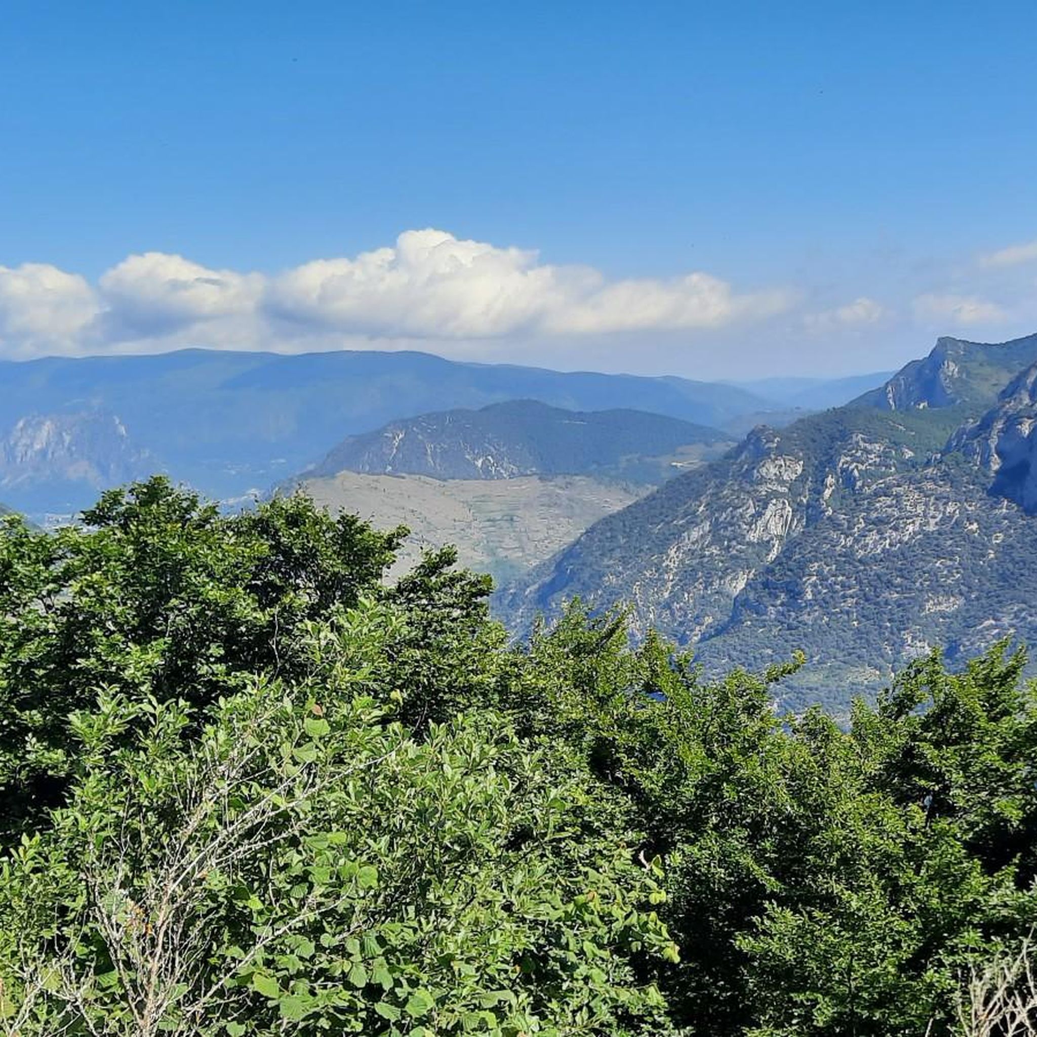
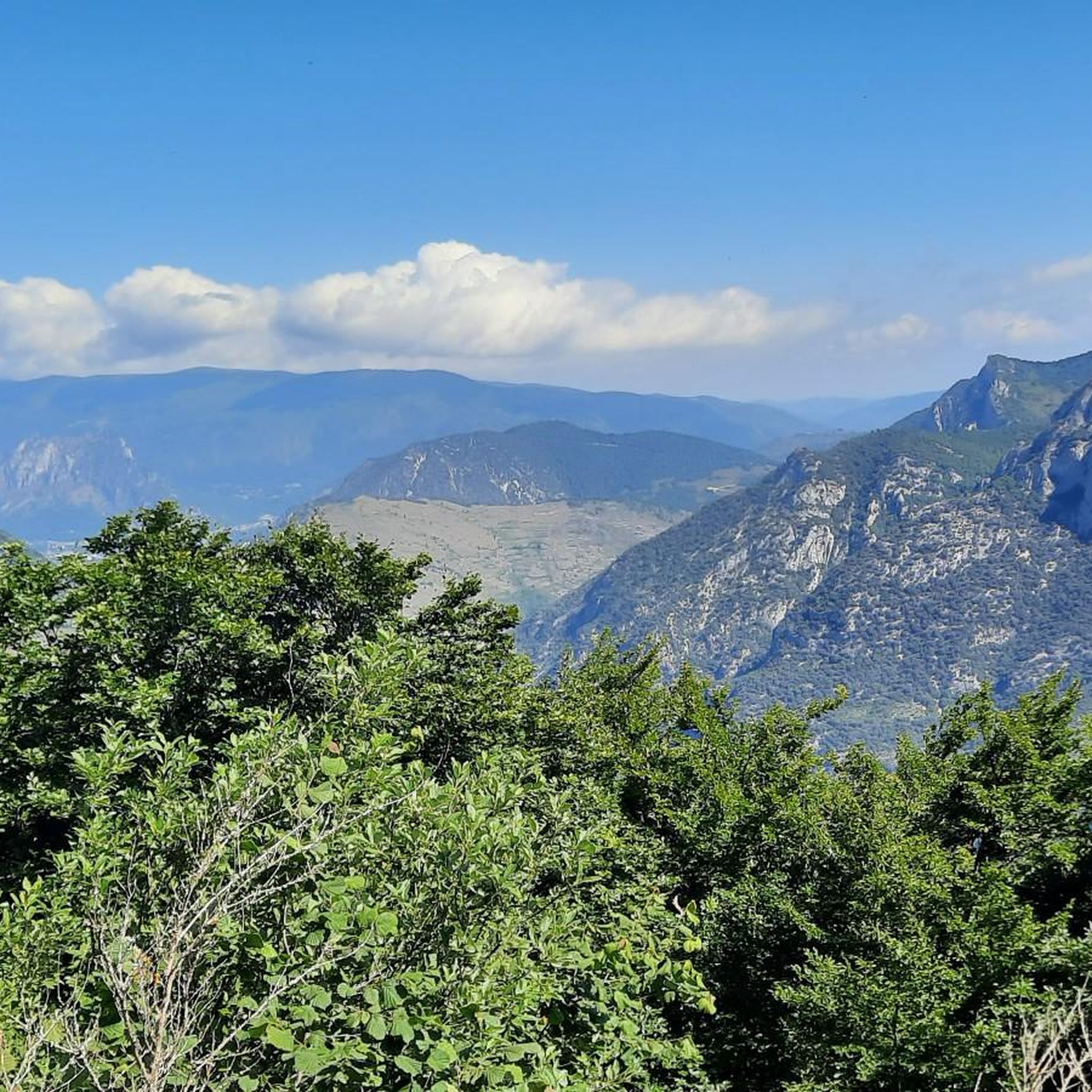
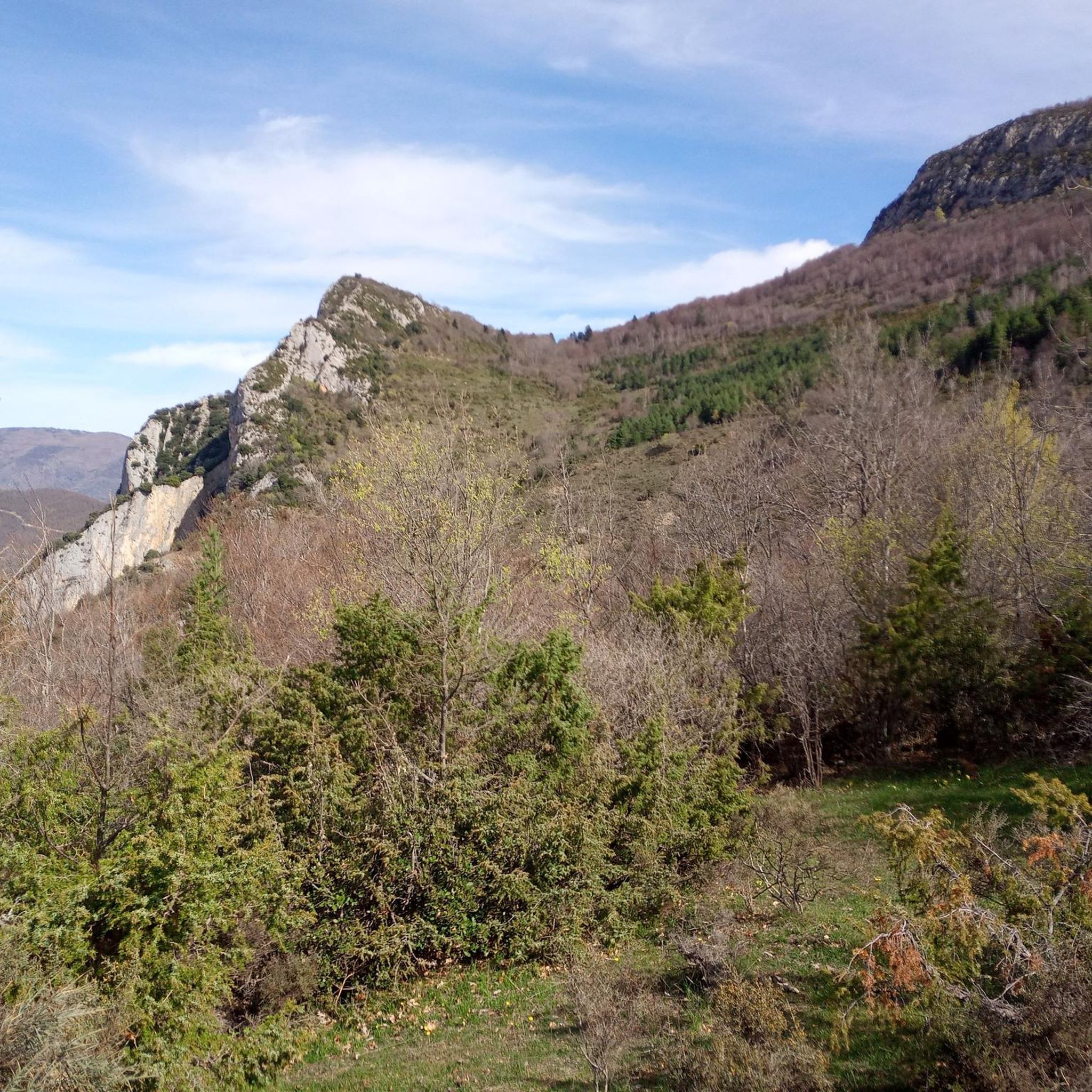
Mountaineering around Sinsat is defined by its dramatic landscapes within the Ariège department of the Occitanie region. The area is characterized by the prominent Quié de Sinsat, an epic cliff rising nearly 1000 meters, and is nestled in the Ariège valley within the Pyrenees mountain range. The terrain features diverse natural elements, including compact limestone cliffs and verdant forests, offering varied challenges for mountaineers.
Best mountaineering routes around Sinsat
- The most popular mountaineering route is Mont Fourcat loop from Arnave…
Last updated: July 4, 2026
7
hikers
11.0km
05:32
900m
910m
Hard mountaineering route. Very good fitness required. Sure-footedness, sturdy shoes and alpine experience required.
2
hikers
Moderate mountaineering route. Good fitness required. Easily-accessible paths. Suitable for all skill levels.

Sign up for free
5.0
(1)
4
hikers
12.5km
05:42
940m
940m
Hard mountaineering route. Very good fitness required. Sure-footedness, sturdy shoes and alpine experience required.
5.0
(1)
1
hikers
Moderate mountaineering route. Good fitness required. Mostly accessible paths. Sure-footedness required.
Our route recommendations are based on thousands of hikes, rides, and runs completed by other people on komoot.
Start today with a free account
Your next adventure awaits.
Login or Signup


Tips from the Community

A must-see in Ariège that you should do at least once in your life. The view of the various mountain ranges is splendid.
0
0

Be careful, expert route but what a view
0
0


Beautiful city that deserves a stopover.
0
0

According to legend, following the victory over the Saracens at Pré Lombard in 778, Charlemagne witnessed an apparition. A lady radiant with beauty then appears and immediately disappears. At dawn, the ground is plowed and a bronze statue of Notre-Dame-de-la-Victoire emerges from the ground. Transported to the church of Foix, the statue miraculously returned to Sabart twice: “This is where Our Lady wants to be honored.” Thus was decided the erection of a chapel dedicated to Notre-Dame-de-la-Victoire. The chapel that we can currently see has its origins in a Romanesque church rebuilt in 1104 on a Carolingian church partly destroyed in 865. But it was largely remodeled in the 16th and 19th century. The facade has some granite stones from the 11th century, the remaining bell tower-façade copy only dates from 1842 and the crenellated keep is only from 1870. Having thus resisted numerous destructions, the chapel became an emblematic monument of the Pyrenean region. Sabarthès, in the upper Ariège valley. Even today, an important pilgrimage is held there in September each year.
0
0

Beautiful town with idyllic river views.
0
0

Located downstream of the Ariège in relation to the town of Foix, this very pretty town is the ideal base camp for many excursions in the surrounding mountains. The upper town was once fortified, and you can still make out the Castella tower which overlooks Tarascon. Every year, in May, the big Fair takes place in the town where many specific animals of the region such as Merens horses and Gascon cows are presented to the public. These two endemic species are the pride of breeders.
0
0

The peak of Saint-Barthélemy in the Tabe massif culminates at 2,348 m and offers a magnificent view of the massif.
0
0
Frequently Asked Questions
What kind of terrain can I expect on mountaineering routes around Sinsat?
Mountaineering routes in Sinsat are characterized by the dramatic landscapes of the Ariège Pyrenees. You'll encounter towering rock faces, particularly the impressive Quié de Sinsat, along with diverse terrain including forest paths through beech and spruce forests, ridge walks, and high-altitude plateaus. The region features compact limestone cliffs and verdant forests, offering varied challenges.
Are there any moderate mountaineering routes suitable for those with some experience?
Yes, Sinsat offers routes for various skill levels. A moderate option is the Notre-Dame de Sabart Chapel – Tarascon-sur-Ariège loop from Tarascon-sur-Ariège. This 14.5 km trail leads through the Ariège valley and typically takes about 4 hours 40 minutes to complete.
What are some challenging mountaineering routes in the Sinsat area?
For experienced mountaineers, Sinsat offers several difficult routes. The Mont d'Olmes – Cadène Pass loop from Les Monts d'Olmes is a challenging 12.8 km route with significant elevation gain. Another demanding option is the Mont Fourcat loop from Arnave, which is 12.4 km long and takes approximately 6 hours.
Are there any circular mountaineering routes available?
Yes, several routes in the Sinsat area are circular. For example, the Sommet des Rochers de Carlong – Bois du Roc de Marty loop from Rabat-les-Trois-Seigneurs is a moderate 9.05 km circular route. Another option is the Mont d'Olmes loop from Les Monts d'Olmes, a difficult 9.1 km circular path.
What do other mountaineers say about the routes in Sinsat?
The mountaineering routes around Sinsat are highly rated by the komoot community, with an average score of 5.0 stars from 3 reviews. Users often praise the dramatic landscapes and varied challenges offered by the terrain.
Are there any notable landmarks or attractions near the mountaineering routes?
Yes, the region around Sinsat features several points of interest. You can find the historic Notre-Dame de Sabart Chapel, or enjoy views from Mount Fourcat. The town of Tarascon-sur-Ariège is also nearby, offering additional exploration opportunities.
What is the best time of year for mountaineering in Sinsat?
The Quié de Sinsat, a prominent feature for mountaineering, offers climbing potential almost year-round due to its south-facing orientation, making it suitable for spring, autumn, and even winter climbing. However, specific sections may have climbing bans due to nesting birds of prey from February to June, or even up to September for certain sectors. Always check local conditions and restrictions before planning your trip.
Are there any restrictions or permits required for mountaineering in the Ariège Pyrenees around Sinsat?
While general hiking in the Ariège Pyrenees typically doesn't require permits, specific climbing areas, especially on the Quié de Sinsat, may have seasonal restrictions due to nesting birds of prey. These bans can be in effect from February to June, or even longer for some sectors. It's advisable to consult local climbing guides or tourist information for the most current restrictions.
Is public transport available to reach Sinsat or nearby trailheads?
Information on specific public transport routes directly to Sinsat's trailheads for mountaineering is limited. Sinsat is a former commune now integrated into Aulos-Sinsat. For detailed public transport options, it's best to check regional transport services for the Ariège department, focusing on connections to larger towns like Tarascon-sur-Ariège, which may offer more transport links.
Where can I find parking for mountaineering trailheads in Sinsat?
Specific parking information for individual trailheads is often available on detailed route descriptions or local maps. Given Sinsat's location within the Ariège Pyrenees, parking is typically found at the start of popular routes or in nearby villages. It's recommended to check the starting points of your chosen routes for designated parking areas.
Most popular attractions around Sinsat

Get inspired with the komoot mobile app


Explore more
Browse the best Mountain Hikes & Routes in other regions.
