The 20 Most Amazing Peaks around Siguer
Mountain peaks around Siguer, located in the Ariège department of the French Pyrenees, offer diverse opportunities for hiking. The area is situated within the Pyrénées Ariégeoises Regional Natural Park, characterized by rugged beauty and varied landscapes. Peaks in this region provide expansive panoramas of the Ariège and Andorran mountains. The terrain ranges from serene mountain lakes and forests to high-altitude ridges.
Best mountain peaks around Siguer
- The most popular mountain peaks is Tristaina Solar Viewpoint, a viewpoint that offers…
Last updated: October 11, 2026
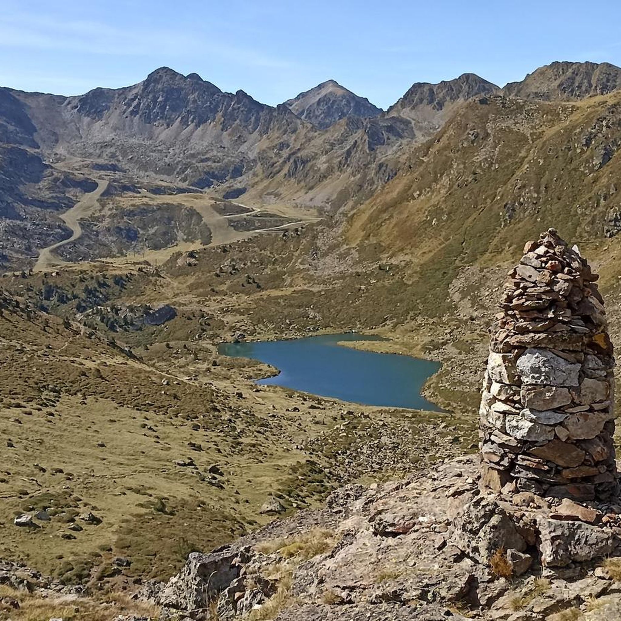
Tristaina Solar Viewpoint
Highlight • Viewpoint
Translated by Google •
Tip by

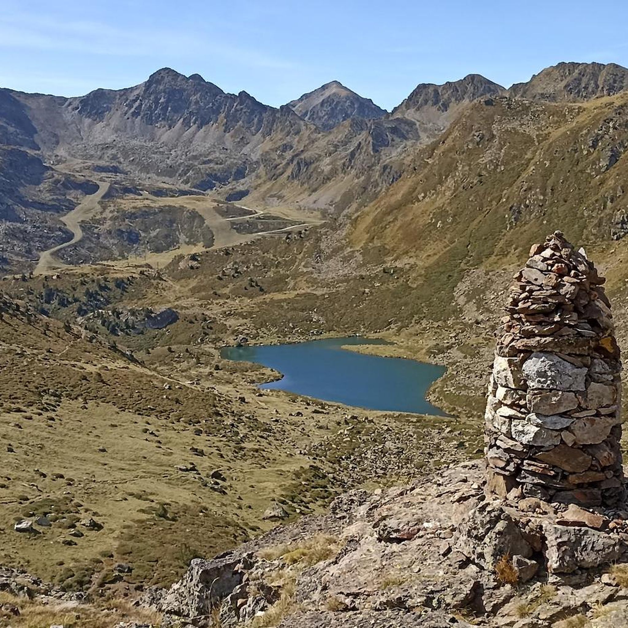
Plateau de Beille
Highlight • Mountain Pass
Translated by Google •
Tip by

Sign up now to discover places like this
Get recommendations on the best single tracks, peaks, & plenty of other exciting outdoor places.
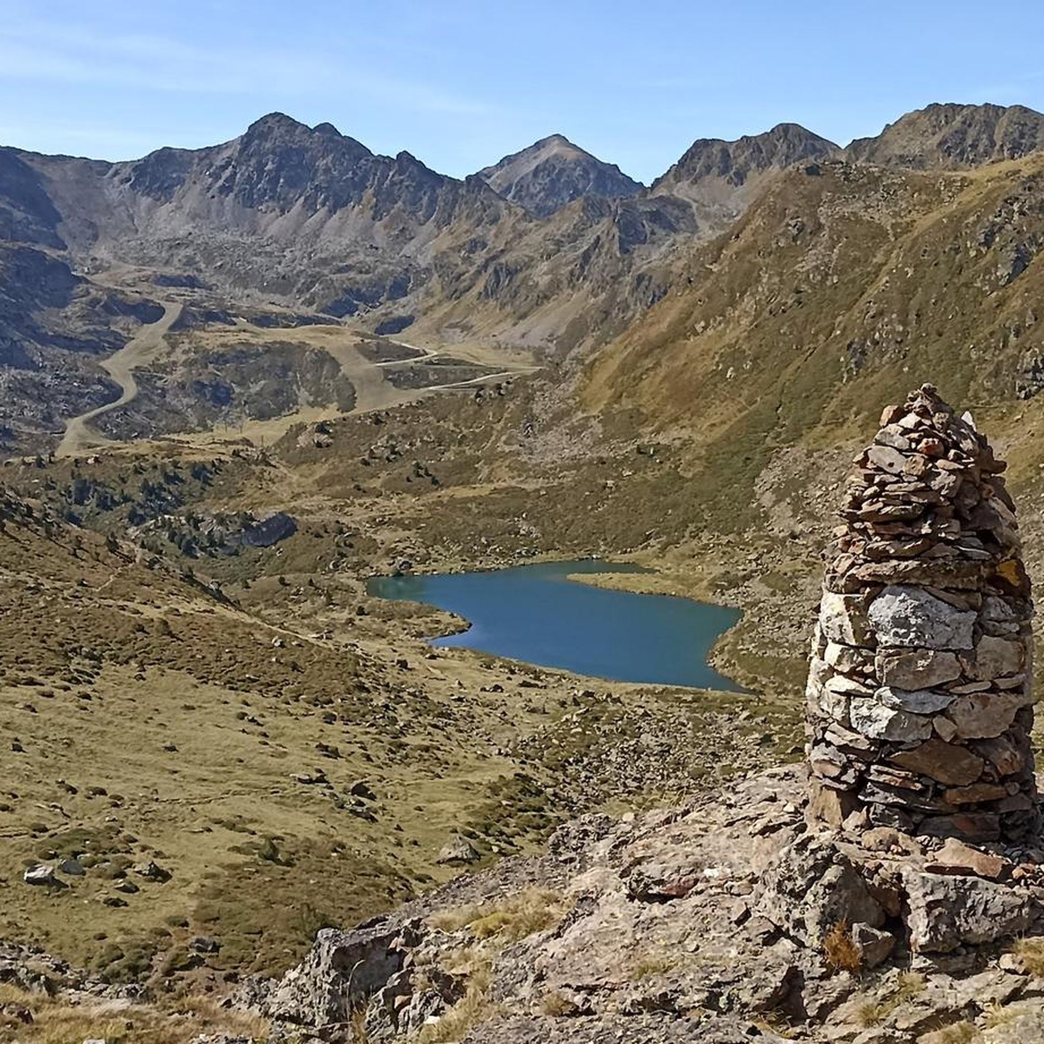
Pic de Casamanya
Highlight • Summit
Showing Translation
Tip by

Coma Pedrosa Summit
Highlight • Summit
Showing Translation
Tip by

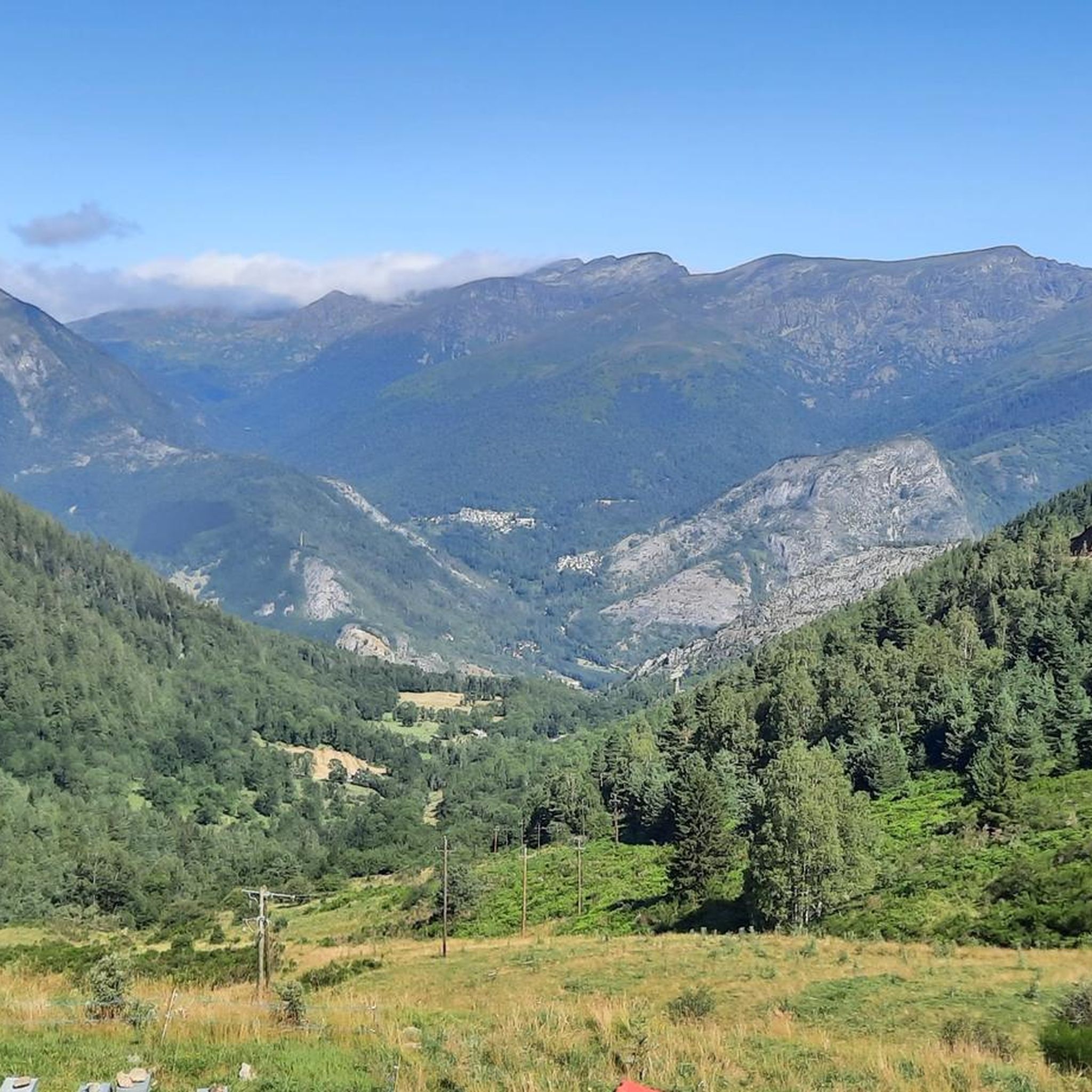
Pic de la Serrera
Highlight • Summit
Translated by Google •
Tip by

Sign up for free to discover even more peaks around Siguer.
Already have an account?
Start today with a free account
Your next adventure awaits.


Tips from the Community

Superb high-altitude alpine meadows! It's worth the effort
0
0

Le plateau de Beille is very beautiful in the summer. While in winter it's a ski resort that didn't seem exceptional to me, in summer the cross-country ski trails become gravel paths, and in fact, this plateau is top to explore!
0
0

Great panoramic view of France and Spain and the mega beautiful mountain scenery. I am very happy that the weather held up during our ascent. It was really mega beautiful up there. However, the ascent and descent are not for the inexperienced.
0
0

Very good place to practice skating skiing in winter!
1
0

The climb is steep, but manageable. The view from up there, stretching far into France, is definitely worth it!
0
0

Solar viewpoint on the Peyraguils pass or summit, a metal structure that allows a 360° view of the valleys of the Andorran Pyrenees and the Aran Valley, with views of Aneto.
2
0

Here again: Someone is rating ALL photos of highlights in this region (Northwest Pyrenees) "not accurate," even though they accurately depict the location? Why does anyone need to do that? Is it jealousy? Does someone want to drag down others' "expert" ratings? How pathetic.
1
1
The highest mountain in Andorra is feasible as a day trip from the country. However, one should be careful, some experienced hikers have already gotten lost. 😜 And the way to Spain or France is long... The easiest ascent is rated T3 according to the SAC scale. On the descent, I went a bit off the summit path in a northeastern direction and descended there. A bit more demanding (T4), but in this case, due to the scree in the upper part, it is easier to navigate on the descent. Here I saw some salamanders.
2
0
Frequently Asked Questions
Which mountain peaks around Siguer offer the most spectacular panoramic views?
For truly spectacular views, consider the Tristaina Solar Viewpoint, which provides expansive vistas of the Arcalís Valley and the Pyrenees. The Pic du Port de Siguer (also known as Pic de Font Blanca) offers an immense panorama of the Ariège and Andorran mountains, dominating the Siguer valley and its lakes. The Pique d'Endron is also highly recommended for its superb 360° panorama of major surrounding peaks like the Montcalm massif and the Bassiès massif.
What are some challenging peaks near Siguer for experienced hikers?
Experienced hikers seeking a challenge have several options. The ascent to Pic du Port de Siguer is described as difficult, involving steep sections and requiring good physical condition. The Coma Pedrosa Summit, the highest peak in Andorra, requires expertise or physical resistance due to technical sections and loose rocks. The Pic du Midi de Siguer is classified as extremely difficult, spanning nearly 20 kilometers with over 1,000 meters of elevation gain. Additionally, the Montcalm massif, including Montcalm Peak, Pique d'Estats, and Pic de Sullo, are challenging high-mountain destinations.
Are there any easier mountain walks or family-friendly options around Siguer?
While many peaks in the immediate vicinity of Siguer are challenging, the broader Pyrénées Ariégeoises Regional Natural Park offers a range of trails. For easier walks, look for routes that explore the lower valleys, forests, and around mountain lakes, which often have less elevation gain. For example, some sections of the trails around the Bassiès lakes or the Roc de Querquéou offer varied terrain that can be adapted for different skill levels. Always check specific route details for difficulty before heading out.
What unique natural features or landmarks can I find on the peaks near Siguer?
The peaks around Siguer offer diverse natural features. The Pic du Port de Siguer features a metallic sculpture, an "estripagecs," marking its summit since 2017. The Pique d'Endron provides direct views of the terraced Étangs d'Izourt and Gnioure. The region is also characterized by serene mountain lakes, forests, and rugged high-altitude ridges. The Tristaina Solar Viewpoint itself is a unique, man-made landmark offering impressive views.
What is the best time of year to hike the mountain peaks around Siguer?
The best time to hike the mountain peaks around Siguer is generally during the warmer months, from late spring to early autumn, when trails are typically clear of snow and ice. However, some challenging ascents, like Pic du Port de Siguer, may still involve difficult conditions in winter or spring. Always check local weather and trail conditions before planning your trip, especially for higher altitudes.
What outdoor activities can I do near the mountain peaks around Siguer?
Beyond peak bagging, the area around Siguer offers a variety of outdoor activities. You can find numerous hiking trails, including difficult routes like the Port de Siguer - Rialb Valley Loop Trail. There are also options for running, such as the Pic de la Serrera Loop from Sorteny Valley. For cycling enthusiasts, routes like the "Ascent to Arcalís — round trip from Serrat" provide challenging rides. You can explore more options on the dedicated guides for hiking, cycling, and running around Siguer.
Which peak is the highest in the broader Siguer region?
While many impressive peaks are directly accessible from Siguer, the highest peak in the broader Ariège Pyrenees, and indeed the highest in Catalonia, is Pique d'Estats, reaching 3,143 meters. It is part of the Montcalm massif, which also includes Montcalm (3,077 m) and Pic de Sullo (3,072 m), offering a true high-altitude Pyrenean experience.
What makes the Pic des Trois Seigneurs a popular hiking destination?
The Pic des Trois Seigneurs, at 2,199 meters, is a popular and legendary hike in Ariège due to its incredibly rewarding panoramas of the Pyrenees. Its name originates from medieval times, reflecting its historical significance as a meeting point for three lordships. The trail, often starting from Port de Lers, is considered challenging but offers varied landscapes that make the effort worthwhile.
Are there any peaks around Siguer that are less crowded but still offer great views?
While popular peaks attract many visitors, exploring some of the slightly less prominent but equally rewarding summits can offer a more tranquil experience. For instance, the Pic de Cabanatous, accessible via the scenic Bassiès lakes, provides extensive panoramic views of the Ariège Pyrenees after a difficult climb, potentially offering a more secluded experience compared to the most well-known summits. Always check local trail conditions and popularity before your visit.
What do visitors enjoy most about the mountain peaks around Siguer?
Visitors consistently praise the breathtaking panoramic views from the summits, with many describing them as some of the most spectacular in the Pyrenees. The challenging nature of many ascents is also a draw for experienced hikers, who appreciate the sense of accomplishment. The diverse landscapes, from serene mountain lakes to rugged high-altitude ridges, and the preserved natural environment within the Pyrénées Ariégeoises Regional Natural Park, are also highly valued by the komoot community.
Can I find any peaks that are suitable for trail running near Siguer?
Yes, the area around Siguer offers several challenging options for trail running. Routes like the "Port de Siguer - Rialb Valley Loop Trail" and the "Pic de la Serrera Loop from Sorteny Valley" are classified as difficult and are popular among trail runners. The terrain can be technical with loose rocks, especially on descents, so appropriate footwear and experience are recommended. You can find more trail running options in the Running Trails around Siguer guide.
Most popular routes around Siguer
Most popular attractions around Siguer

Get inspired with the komoot mobile app


Explore more
See even more amazing summits around Siguer with these guides:
