The best mountain hikes around Siguer
4.9
(10)
60
hikers
8
hikes
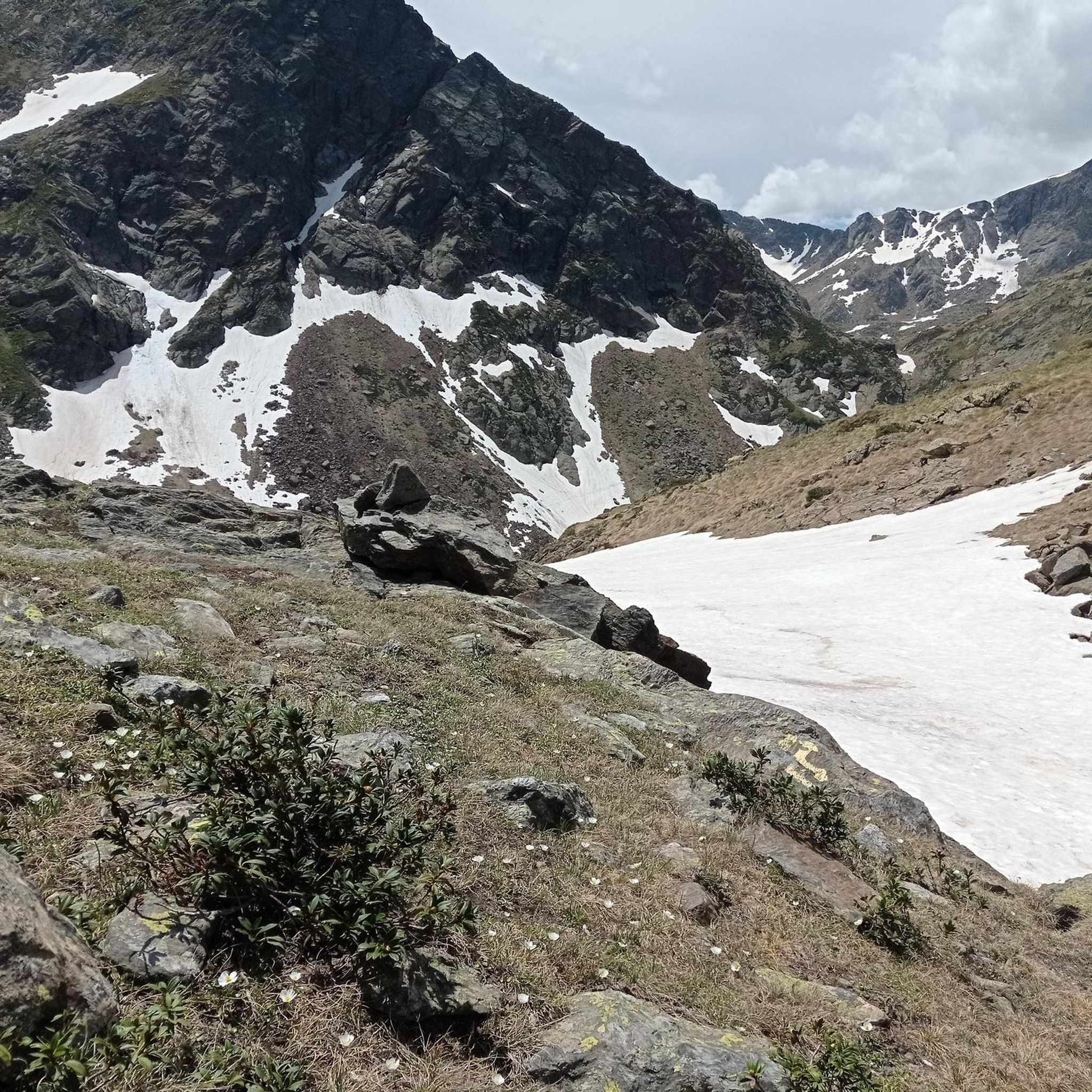
Mountaineering routes around Siguer are characterized by the rugged, diverse, and challenging terrain of the French Pyrenees in the Occitanie region. The area features dramatic landscapes with numerous high peaks, including the Pic du Port de Siguer (2,903 m) and Pique d'Endron, offering significant elevation gains. Mountaineering routes often traverse through deep valleys carved by rivers like the Siguer, past picturesque mountain lakes such as Étang Blaou and Étang de Peyregrand, and over high mountain passes connecting to Andorra.
Best…
Last updated: October 7, 2026
5.0
(1)
9
hikers
Moderate mountaineering route. Good fitness required. Mostly accessible paths. Sure-footedness required.
5.0
(2)
9
hikers
8.78km
04:09
700m
700m
Moderate mountaineering route. Good fitness required. Mostly accessible paths. Sure-footedness required.

5
hikers
10.0km
05:02
820m
820m
Hard mountaineering route. Very good fitness required. Mostly accessible paths. Sure-footedness required.
5.0
(2)
5
hikers
14.1km
07:33
1,280m
1,280m
Hard mountaineering route. Very good fitness required. Sure-footedness, sturdy shoes and alpine experience required.
5.0
(1)
8
hikers
9.22km
05:13
900m
900m
Hard mountaineering route. Very good fitness required. Mostly accessible paths. Sure-footedness required.
Get access to more routes and recommendations from other explorers.
Already have an account?
Our route recommendations are based on thousands of hikes, rides, and runs completed by other people on komoot.
Start today with a free account
Your next adventure awaits.

Tips from the Community

Small Botanical Garden with many mountain plants. Freely accessible to everyone.
0
0

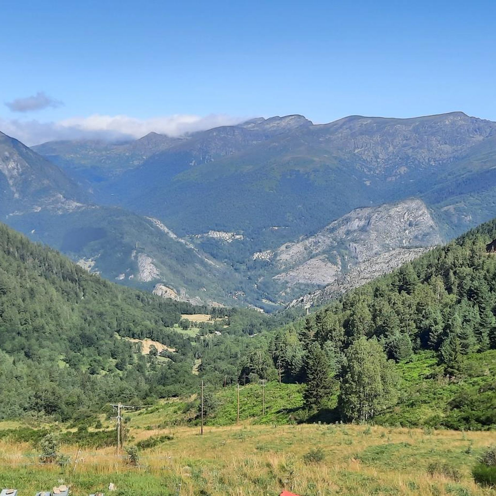
Great panoramic view of France and Spain and the mega beautiful mountain scenery. I am very happy that the weather held up during our ascent. It was really mega beautiful up there. However, the ascent and descent are not for the inexperienced.
0
0
Super nice little spot for a break after the climb, which is already a bit steep
0
0

The climb is steep, but manageable. The view from up there, stretching far into France, is definitely worth it!
0
0

From km 2 onwards the road is closed to traffic most hours of the day, so the climb is very quiet.
0
0

When is the price per person per night?
0
0

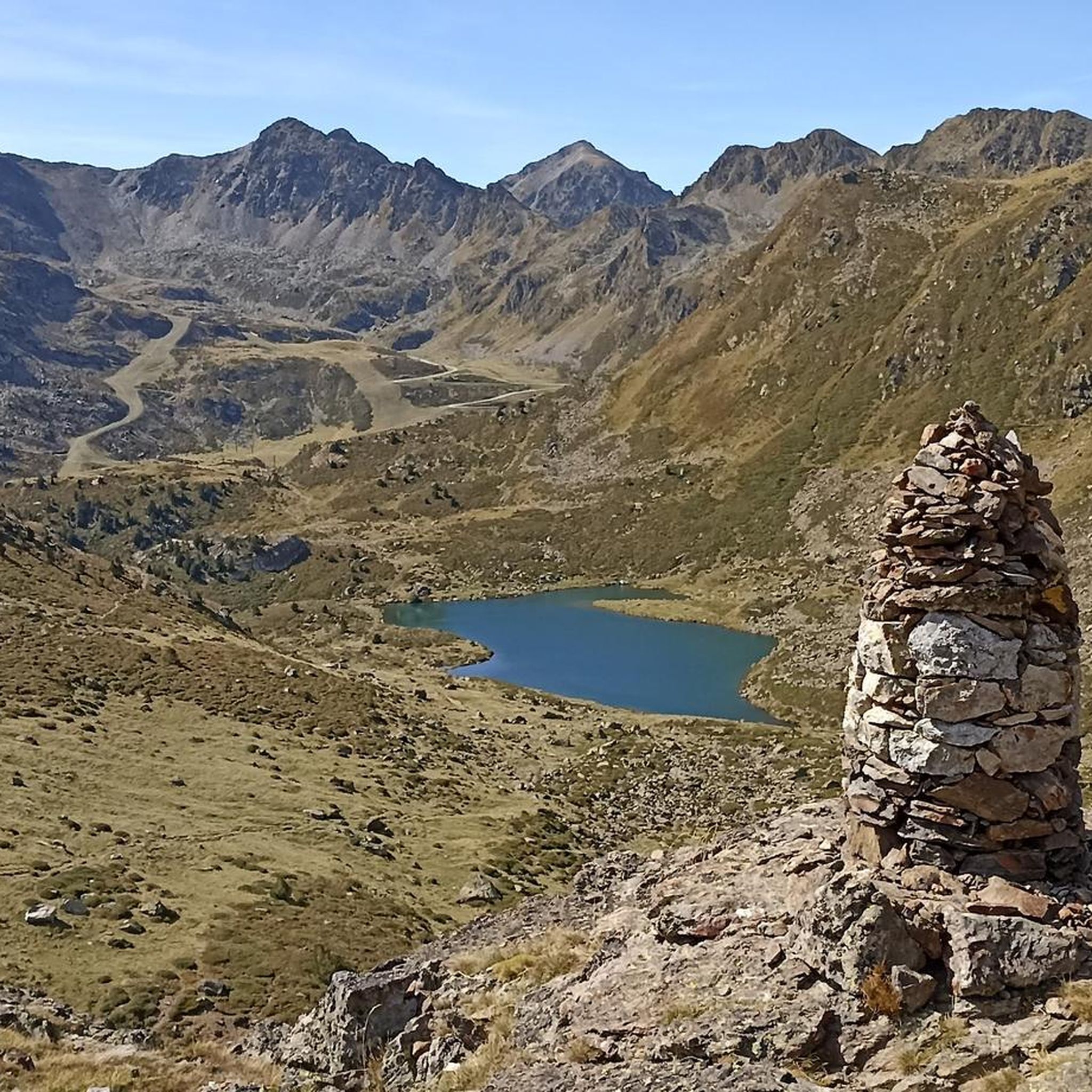
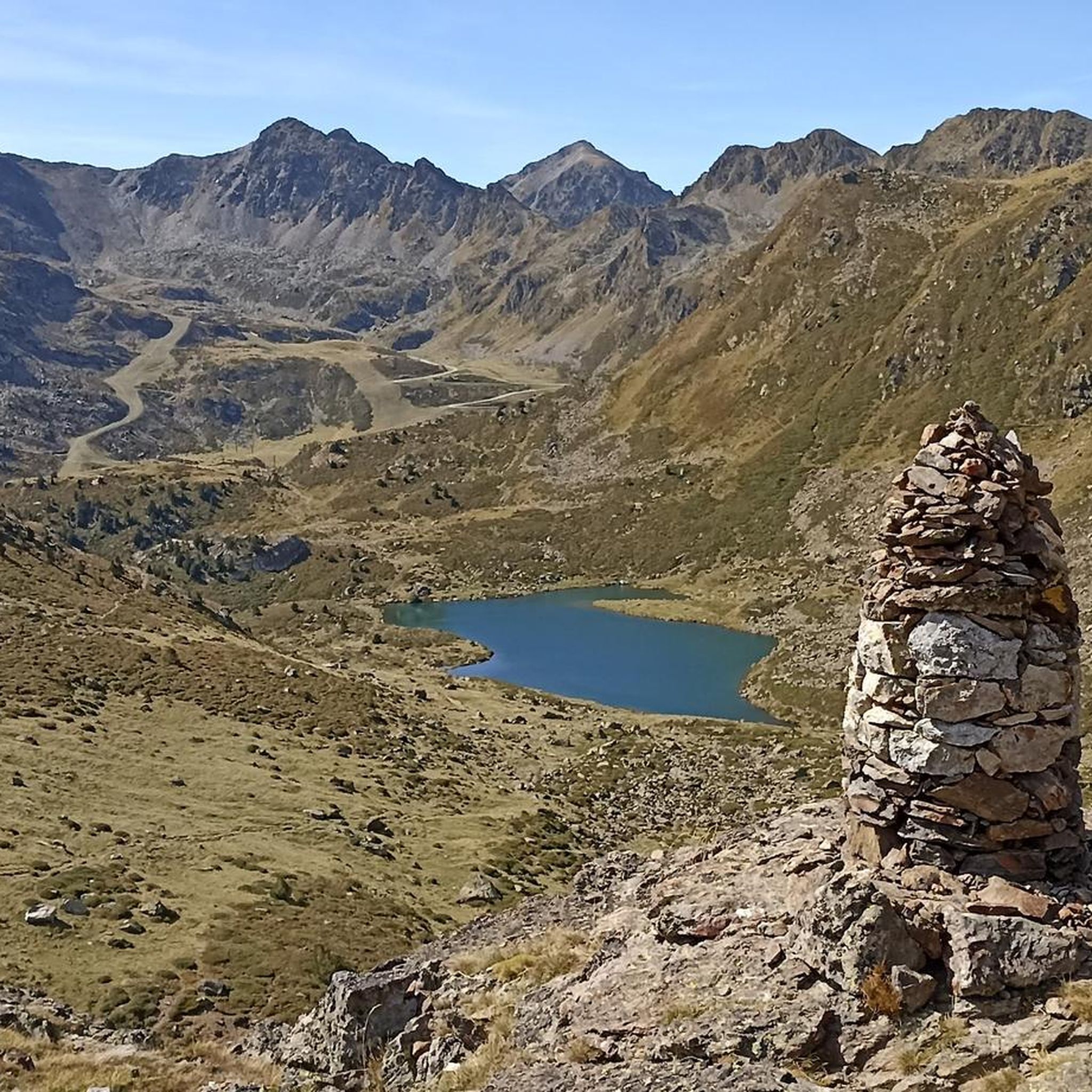
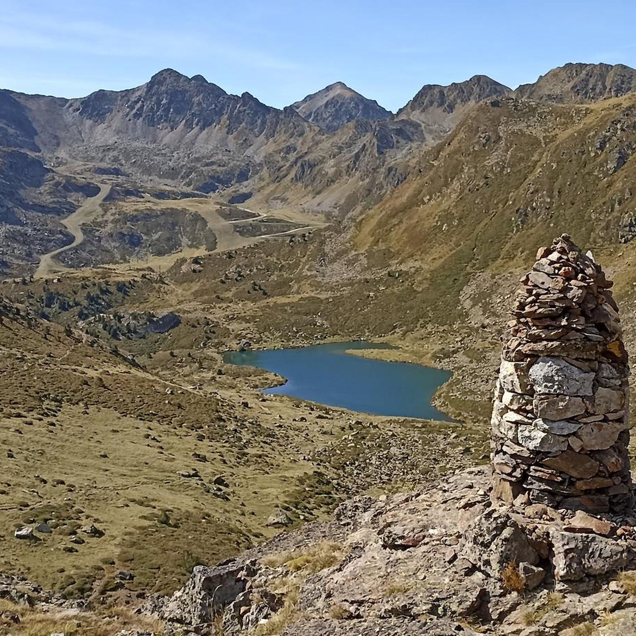
Perhaps not the most comfortable bench, but a very photogenic one made of stone in a beautiful spot. During the season and on weekends when the weather is nice, the parking lot gets busy... Starting point for many different hiking and mountain tours. Please open the image for portrait format.
2
0
A scenic parking lot above the reservoir. From here, you can start a variety of hikes and mountain tours, including the shortest (but challenging T4) ascent to the Pica d'Estats, Montcalm, and Pic de l'Étang Fourcat. However, in good weather and on weekends, this spot is very busy, so even the plentiful parking spaces are limited. Mountaineers who want to avoid this should set off early.
3
0
Frequently Asked Questions
How many mountaineering routes are available around Siguer?
There are 9 mountaineering routes around Siguer documented on komoot. These routes offer a range of challenging experiences in the Pyrenees, with 3 moderate and 6 difficult options.
What is the best time of year for mountaineering in Siguer?
The best time for mountaineering in Siguer is typically from late spring to early autumn (June to September) when the high-altitude trails are generally free of snow and weather conditions are more stable. However, conditions can change rapidly in the Pyrenees, so always check local forecasts before heading out.
Are there any circular mountaineering routes in Siguer?
Yes, many of the mountaineering routes around Siguer are circular. For example, the challenging Étang d'Artax – Roc de Querquéou loop from Gourbit is a popular circular option, covering 12.1 km with significant elevation gain. Another excellent choice is the Pic de l'Estanyó loop from El Serrat, which offers a 14.1 km journey through high alpine landscapes.
What kind of natural features can I expect to see along the routes?
Mountaineering routes around Siguer are rich in natural beauty. You'll encounter majestic peaks like the Pic du Port de Siguer and Pique d'Endron, picturesque mountain lakes such as Étang Blaou and Étang de Peyregrand, and deep valleys carved by rivers. The region is also known for its subalpine lakes like Llacs de Tristaina and Estany de l'Estanyó, which are often highlights of the trails.
Are there any specific peaks or viewpoints worth visiting near Siguer?
Absolutely. The region offers access to several significant peaks and stunning viewpoints. Notable summits include Coma Pedrosa Summit, Pic de Casamanya, and Montcalm Peak. For panoramic views, consider visiting the Tristaina Solar Viewpoint.
What do other mountaineers say about the routes in Siguer?
The mountaineering routes in Siguer are highly rated by the komoot community, with an average score of 4.9 stars from over 15 reviews. Mountaineers often praise the challenging terrain, the rewarding panoramic views of the surrounding peaks, and the serene beauty of the mountain lakes and high alpine landscapes.
Are there any less crowded mountaineering options around Siguer?
While some routes are popular, the Pyrenees offer vast areas for exploration. To find less crowded options, consider exploring routes that are slightly off the main trails or embarking on longer, more challenging expeditions that naturally deter larger crowds. The View of Étang de Soulcem loop from Étang de Soulcem, for instance, offers a challenging experience that can provide a sense of solitude amidst stunning scenery.
What are the parking options for mountaineering trailheads in Siguer?
Parking availability varies by trailhead. Many popular starting points for mountaineering routes, especially those leading to significant peaks or lakes, typically have designated parking areas. For routes like the Lago Seco – Pic de Tristaina (2,368 m) loop from Ordino-Arcalís, you would generally find parking near the starting village or ski resort base.
Are there any permits required for high-altitude mountaineering in the Siguer region?
While general hiking on established trails in the Pyrenees typically doesn't require permits, specific regulations can apply to certain protected areas, national parks, or for activities like wild camping. It's always advisable to check with local authorities or park management for the specific area you plan to visit, especially for high-altitude or multi-day expeditions.
Are there any family-friendly mountaineering routes suitable for older children?
While many routes are classified as difficult, some moderate options might be suitable for families with older, experienced children who are accustomed to strenuous hiking. The region's diverse terrain means there are trails that, while challenging, offer rewarding experiences without extreme technical difficulty. Always assess the route's elevation gain, distance, and terrain carefully to match your family's capabilities.
Can I bring my dog on the mountaineering trails in Siguer?
Dog-friendly policies vary across the Pyrenees, especially within national parks or protected natural areas where dogs might be restricted or required to be on a leash to protect wildlife. It's essential to research the specific regulations for each trail or region you plan to visit. Generally, dogs are welcome on many trails outside of strictly protected zones, provided they are kept under control.
Most popular attractions around Siguer

Get inspired with the komoot mobile app


Explore more
Browse the best Mountain Hikes & Routes in other regions.
