
The best running trails around Roinville
4.1
(12)
422
runners
84
runs
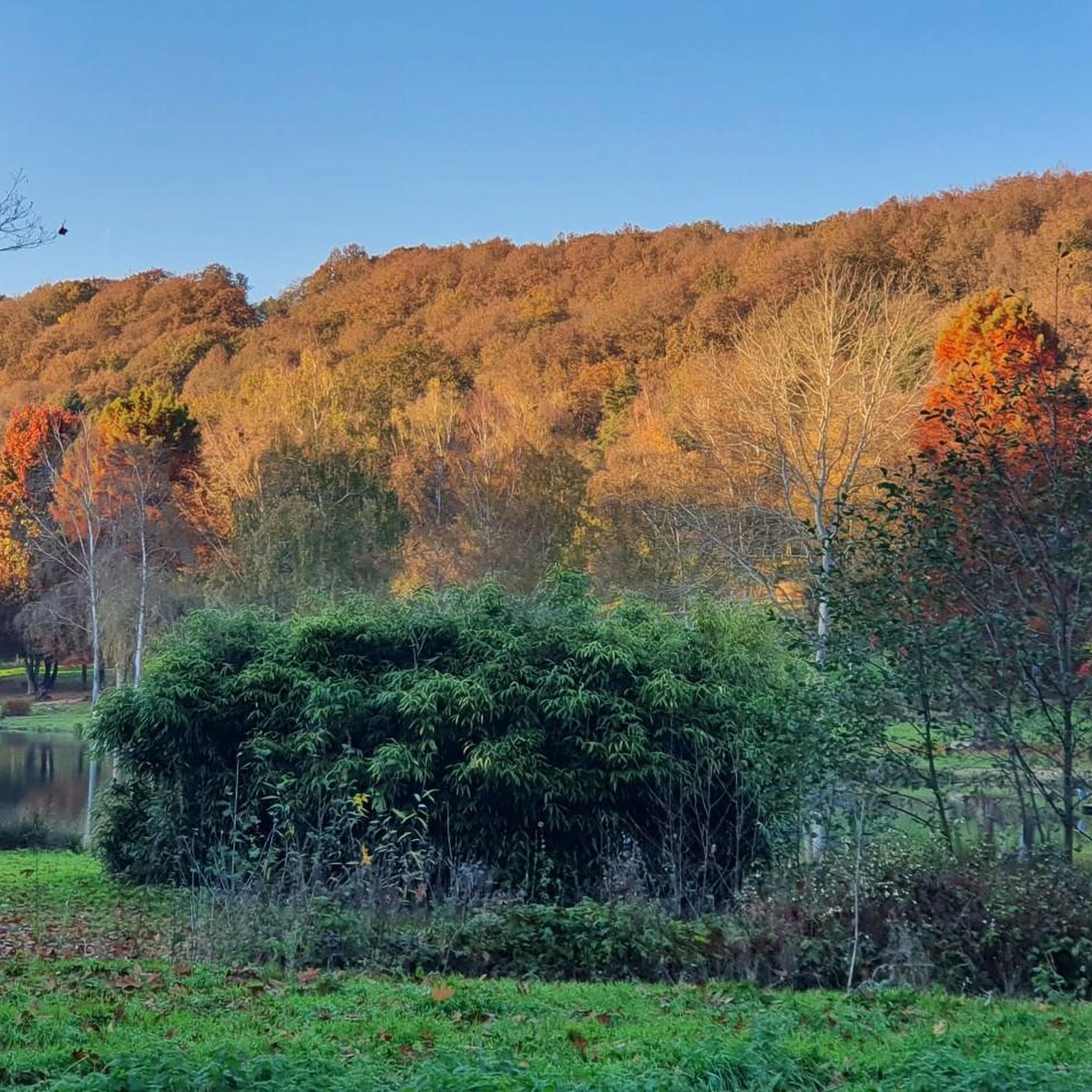
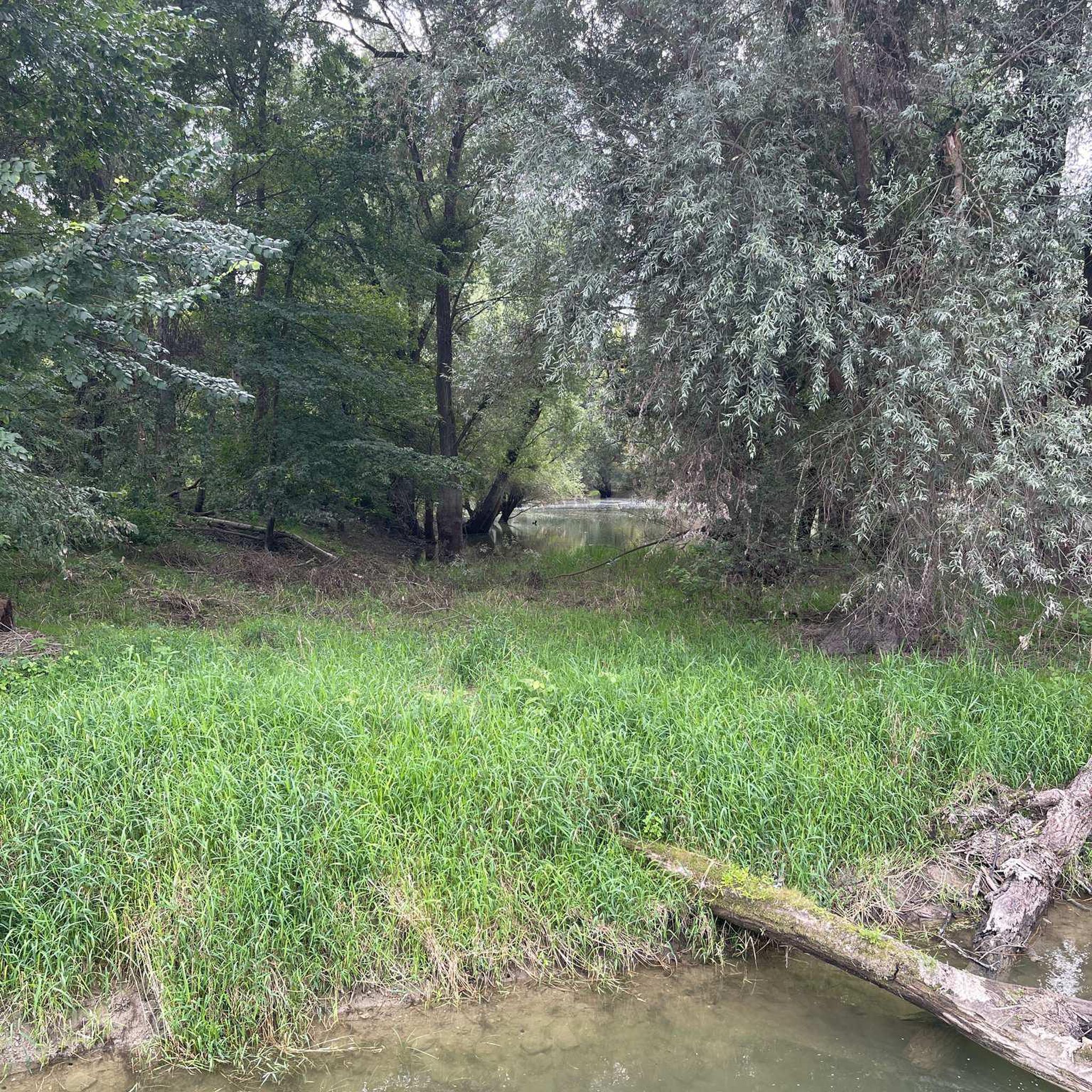
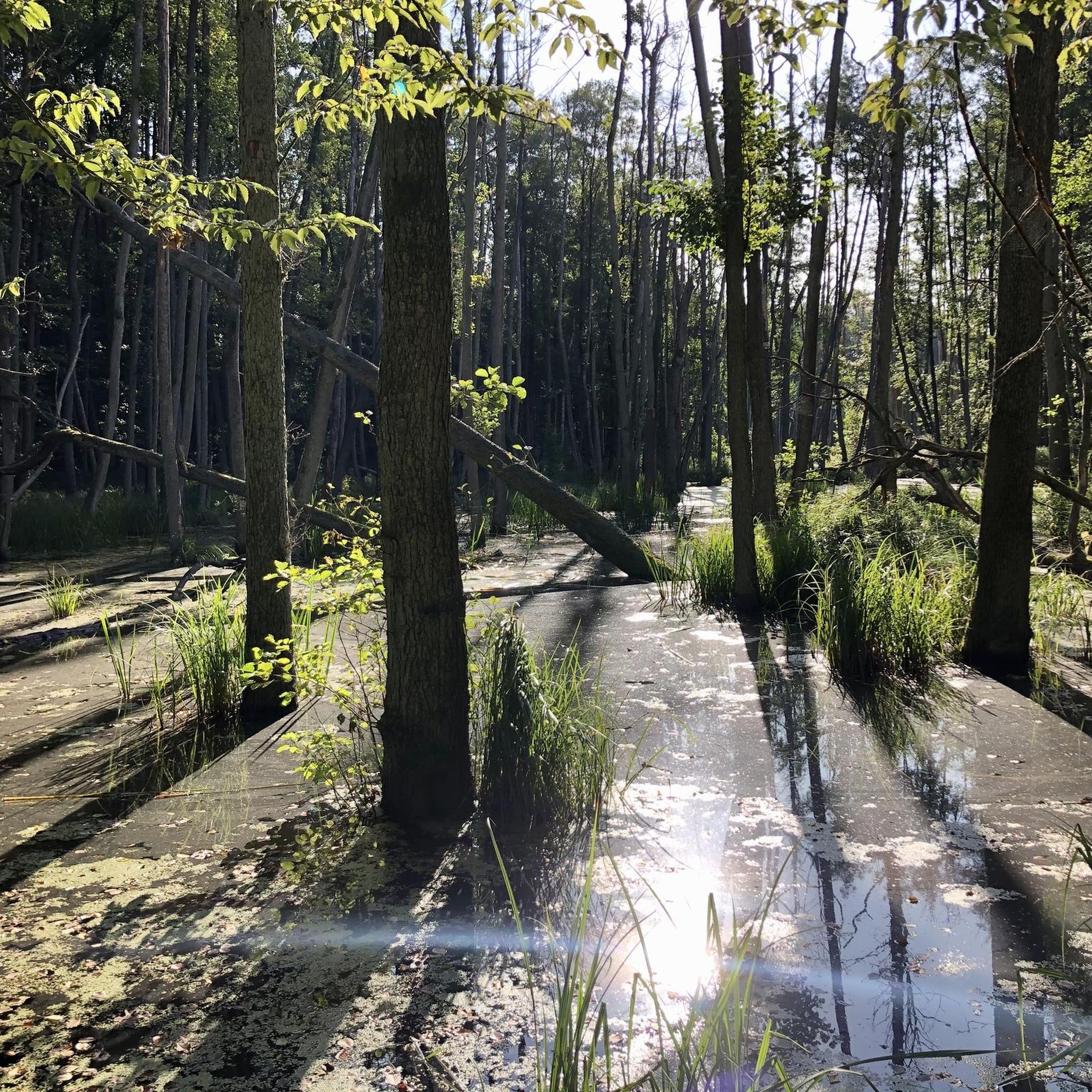
Jogging around Roinville offers diverse landscapes and varied terrain suitable for all levels. The region, situated in the Essonne department of Île-de-France, features elevations ranging from 82 to 163 meters. Runners can explore extensive networks of trails within the Dourdan Forest, characterized by oak trees and sections with sand dunes. Picturesque running routes also follow the banks of the Orge and Rémarde rivers, providing scenic views and passing historical landmarks.
Best jogging routes around Roinville
- The most popular jogging route…
Last updated: June 27, 2026
10
runners
9.50km
01:02
60m
60m
Moderate run. Good fitness required. Mostly paved surfaces. Suitable for all skill levels.
7
runners
9.74km
01:04
70m
70m
Moderate run. Good fitness required. Mostly paved surfaces. Suitable for all skill levels.

Sign up for free
6
runners
9.10km
00:56
40m
40m
Moderate run. Good fitness required. Mostly paved surfaces. Suitable for all skill levels.
4
runners
10.6km
01:07
30m
30m
Moderate run. Good fitness required. Mostly paved surfaces. Suitable for all skill levels.
5.0
(1)
3
runners
5.48km
00:36
30m
30m
Moderate run. Good fitness required. Mostly paved surfaces. Suitable for all skill levels.
Get access to more routes and recommendations from other explorers.
Sign up for free
Already have an account?
Our route recommendations are based on thousands of hikes, rides, and runs completed by other people on komoot.
Start today with a free account
Your next adventure awaits.
Login or Signup

Frequently Asked Questions
How many running routes are available around Roinville?
There are over 70 jogging routes available in the Roinville area, catering to various fitness levels. You'll find a good mix of easy, moderate, and challenging paths to explore.
What kind of terrain can I expect on the jogging trails near Roinville?
The Roinville area offers a diverse landscape for running. You can expect varied terrain, from the extensive forest trails of the Dourdan Forest with its oak trees and unique sand dunes, to picturesque routes along the banks of the Orge and Rémarde rivers. The elevation ranges from 82 to 163 meters, providing options from gentle paths to routes with significant elevation gains.
Are there running routes suitable for beginners in Roinville?
Yes, Roinville offers several routes suitable for beginners. There are 6 easy jogging routes available, perfect for those just starting out or looking for a more relaxed run. These trails typically feature gentler inclines and well-maintained paths.
What do other runners say about the trails in Roinville?
The running routes in Roinville are highly rated by the komoot community, with an average score of 4.3 stars from over 10 reviews. More than 400 runners have used komoot to explore the varied terrain, often praising the scenic beauty and diverse trail options.
Are there any family-friendly jogging routes in the Roinville area?
While specific 'family-friendly' routes aren't explicitly categorized, many of the easy and moderate trails, especially those along the riverbanks or within less challenging sections of the Dourdan Forest, would be suitable for families. Look for routes with mostly paved or accessible natural surfaces.
Can I bring my dog on the jogging trails around Roinville?
Many natural trails in the Roinville area, particularly within the Dourdan Forest and along river paths, are generally dog-friendly. However, it's always recommended to keep your dog on a leash and check local regulations or signage for specific restrictions, especially in protected areas or private lands.
Are there any circular jogging routes near Roinville?
Yes, many of the running routes around Roinville are designed as loops. For example, the Running loop from Roinville is a 5.2-mile (8.4 km) trail that takes you through the local countryside and is a popular circular option.
What landmarks or points of interest can I see while jogging in Roinville?
The region is rich in historical and natural landmarks. You might encounter the impressive 13th-century Château de Dourdan, which is often integrated into local running routes. Other notable sights include the Château de Denonville, the Esclimont Castle, and the Gourville Fortified House. Routes along the Orge River also offer views of charming churches and the Châteaupers Farm.
Are there jogging routes with good parking facilities in Roinville?
Many popular trailheads, especially those leading into the Dourdan Forest or starting from villages like Roinville, typically have designated parking areas. For instance, the Château d'Auneau loop from Auneau and the Running loop from Aunay-sous-Auneau are good options that usually have convenient parking nearby.
Can I access jogging trails in Roinville using public transport?
While Roinville itself is a smaller commune, some larger towns in the Essonne department that are close to popular running areas may have public transport links. It's advisable to check local bus or train schedules to nearby towns like Dourdan, and then plan your route to a trailhead from there. Some routes, like the Running loop from Béville-le-Comte, might be accessible via public transport to the starting village.
What is a good moderate running route to try in the Roinville area?
A great moderate option is the Running loop from Saint-Léger-des-Aubées. This route covers approximately 7.4 miles (11.9 km) and offers a pleasant run through rural landscapes, providing a good balance of distance and manageable elevation.
Most popular attractions around Roinville

Get inspired with the komoot mobile app


Explore more
Browse the best Running Trails & Routes in other regions.
