The best running trails around Paulhac
4.3
(9)
940
runners
28
runs
Jogging routes around Paulhac are primarily found within the dramatic volcanic landscapes of the Cantal department, offering challenging and scenic running experiences. The region is characterized by ancient volcanic formations, high peaks like Plomb du Cantal, and significant elevation changes. Runners can explore demanding trails that traverse varied terrain, including areas with waterfalls and panoramic views of the surrounding valleys.
Best jogging routes around Paulhac
- The most popular jogging route is Plomb du Cantal Loop from Prat de Bouc,…
Last updated: October 10, 2026
3.0
(1)
60
runners
8.41km
01:16
420m
420m
Hard run. Very good fitness required. Sure-footedness, sturdy shoes and alpine experience required.
24
runners
13.7km
01:44
400m
400m
Hard run. Very good fitness required. Mostly paved surfaces. Suitable for all skill levels.

4.0
(1)
24
runners
12.5km
01:54
600m
600m
Hard run. Very good fitness required. Sure-footedness, sturdy shoes and alpine experience required.
9
runners
15.2km
01:56
450m
450m
Hard run. Very good fitness required. Mostly paved surfaces. Suitable for all skill levels.
12
runners
19.6km
02:29
570m
570m
Hard run. Very good fitness required. Mostly paved surfaces. Suitable for all skill levels.
Get access to more routes and recommendations from other explorers.
Already have an account?
Our route recommendations are based on thousands of hikes, rides, and runs completed by other people on komoot.
Start today with a free account
Your next adventure awaits.
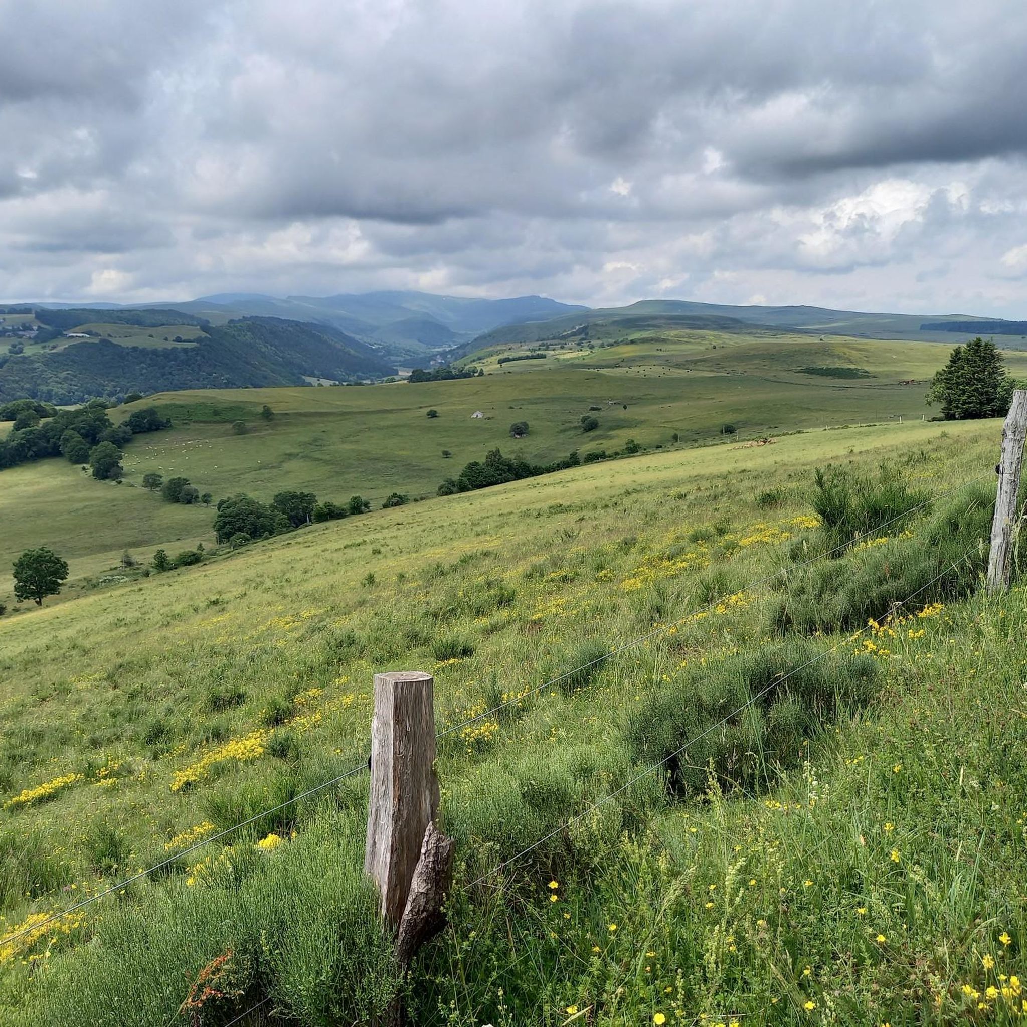
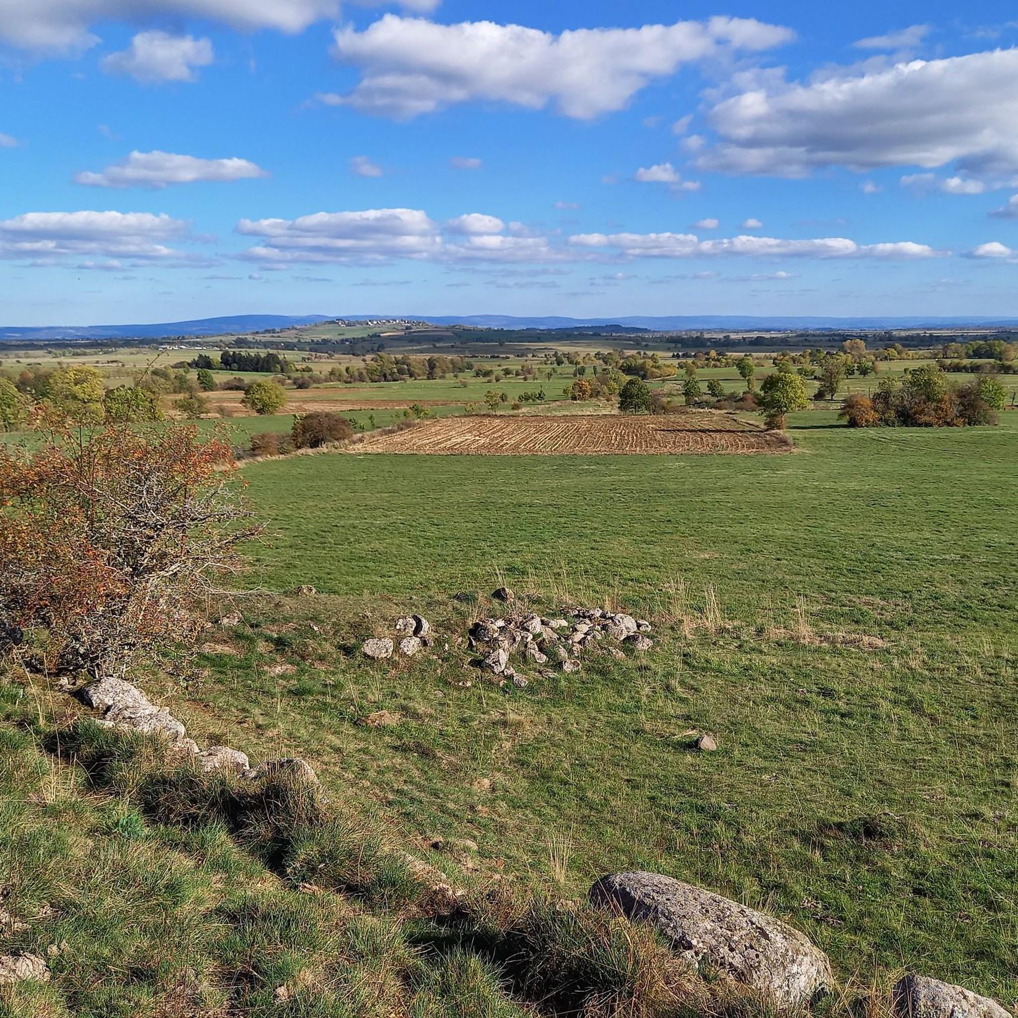
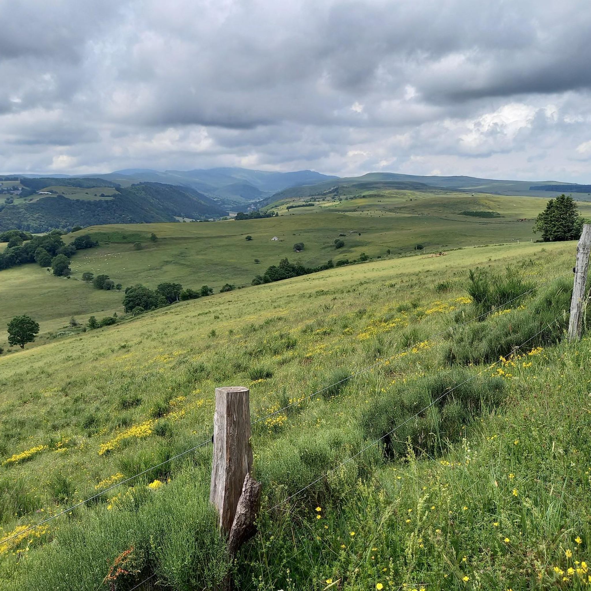
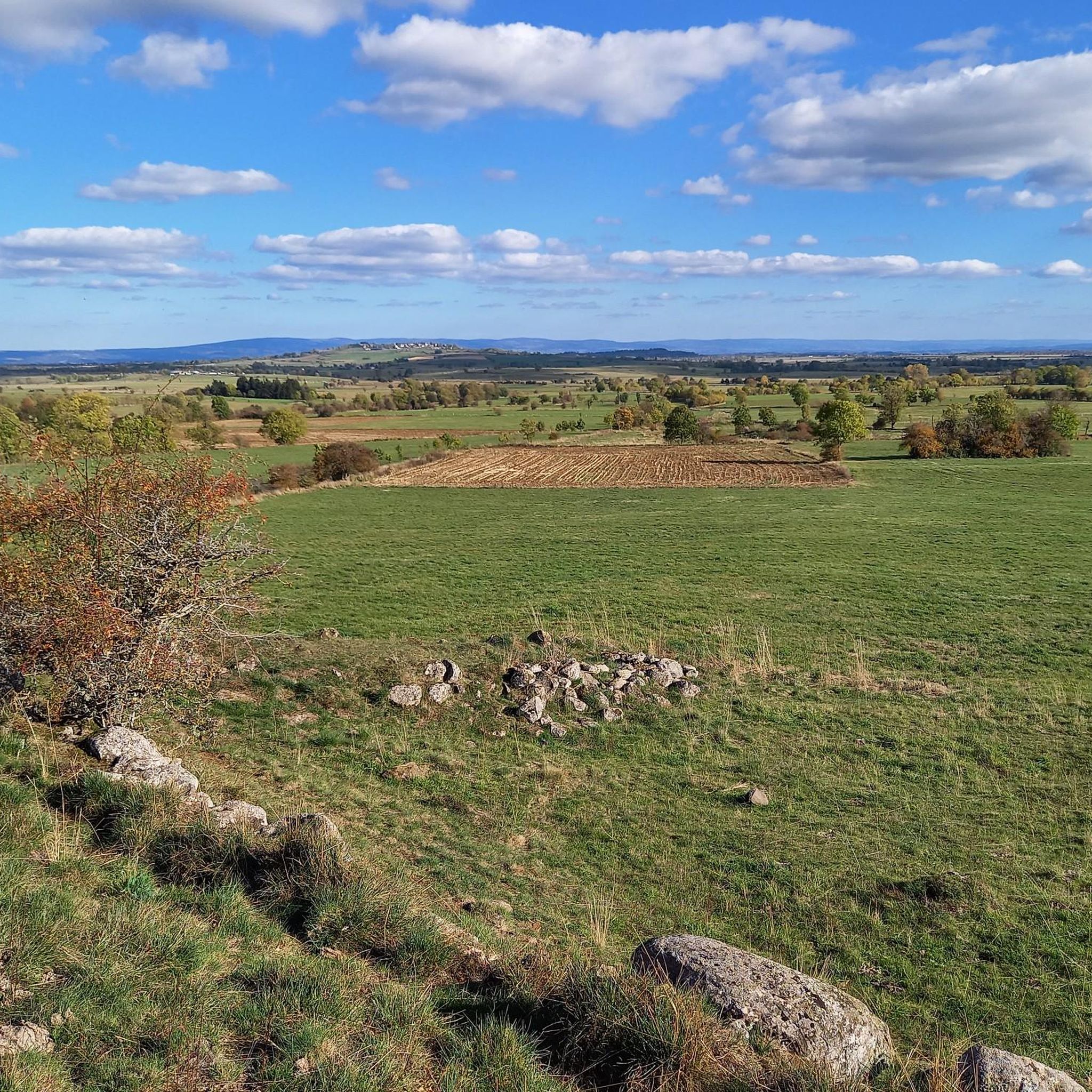
Tips from the Community


Summit accessible by gravel bike from the Lioran station via a fairly clean gravel path but with a steep climb (20% gradient in places). It's a beautiful challenge that is well worth it just for the panoramic view at the summit.
0
0

There seems to be an error, the point indicates the top of an impassable hiking trail, I had to push/carry the bike for 2/3 of the route (uphill from saint jacques de blat and downhill towards prat du bouc). However, the view is incredible, I don't regret this little hassle. There seem to be much more rideable trails below.
0
0

One of the three waterfalls that cascade down the Lagnon. All grouped together along the marked waterfall hike starting from Albepierre.
0
0


Very regular climb without great difficulty start of several gravel trails
0
0

There are numerous waterfalls and torrents to discover along the Lagnon. The Vergnes waterfall is one of the most impressive, with a beautiful waterfall of around 20 meters.
1
0
Frequently Asked Questions
How many running routes are available around Paulhac?
There are over 25 dedicated running routes around Paulhac, primarily located within the dramatic volcanic landscapes of the Cantal department. These routes offer a variety of experiences for runners.
What kind of terrain can I expect on jogging routes in Paulhac?
Jogging routes in Paulhac are characterized by dramatic volcanic terrain, offering significant elevation changes and challenging paths. You'll find yourself running amidst ancient volcanic formations and high peaks, providing both demanding workouts and stunning scenic views.
Are there any routes that feature waterfalls?
Yes, several routes incorporate beautiful waterfalls. For instance, the Col de Prat de Bouc – Prés Longs Waterfall loop from Col de Prat-de-Bouc is a difficult 13.7 km path that winds through mountainous terrain and past the Prés Longs Waterfall. Another option is the Vergnes Waterfall – Col de Prat de Bouc loop from Col de Prat-de-Bouc, which is a 19.6 km trail leading through volcanic valleys and past the Vergnes Waterfall.
What are some notable landmarks or natural features I might see while running?
The region is rich in natural beauty. You can expect to see dramatic volcanic formations and high peaks like Plomb du Cantal. Beyond the routes themselves, you might encounter impressive mountain passes such as Cabre Pass or Pertus Pass. The area is also part of the Parc Naturel Régional des Volcans d'Auvergne, ensuring access to unspoiled natural environments.
Are there any circular running routes available?
Yes, many of the running routes around Paulhac are circular, allowing you to start and finish at the same point. Examples include the popular Plomb du Cantal Loop from Prat de Bouc and the Col de Prat de Bouc – Cirque de Chamalière loop from Col de Prat-de-Bouc.
What is the general difficulty level of running trails in Paulhac?
The running trails around Paulhac are generally considered challenging due to the volcanic terrain and significant elevation changes. Most routes are rated as moderate to difficult, with 9 difficult routes and 16 moderate routes out of 25 total. There are no easy routes listed in this guide.
What do other runners think about the trails in Paulhac?
The running routes in Paulhac are highly rated by the komoot community, with an average score of 4.3 stars from over 9 reviews. More than 1,400 runners have used komoot to explore Paulhac's varied terrain, often praising the challenging nature and stunning volcanic landscapes.
What is the longest running route in this guide?
The longest running route featured in this guide is the Vergnes Waterfall – Col de Prat de Bouc loop from Col de Prat-de-Bouc, which spans 19.6 km (12.2 miles) and typically takes about 2 hours and 28 minutes to complete.
Are there any routes suitable for experienced trail runners looking for a challenge?
Absolutely. The region's volcanic landscape is perfect for experienced trail runners. Routes like the Plomb du Cantal Loop from Prat de Bouc, with its 423 meters of elevation gain over 8.4 km, offer a significant challenge. Many routes feature demanding ascents and descents amidst breathtaking scenery.
Can I find routes that offer views of high peaks?
Yes, the Paulhac area, being in the Cantal department, is known for its high peaks. Routes like the Plomb du Cantal loop from Col de Prat-de-Bouc will provide you with stunning views of Plomb du Cantal, the highest peak in Cantal and the second highest in the Massif Central.
Are there any routes that pass through a 'cirque' or natural amphitheater?
Yes, the Col de Prat de Bouc – Cirque de Chamalière loop from Col de Prat-de-Bouc is a 14.8 km route that takes you through the impressive Cirque de Chamalière, offering unique geological formations and scenic beauty.
Most popular attractions around Paulhac

Get inspired with the komoot mobile app


Explore more
Browse the best Running Trails & Routes in other regions.
