The best road cycling routes around Paulhac
4.7
(127)
3,050
riders
151
rides
Road cycling routes around Paulhac are situated in the Cantal department within the Auvergne-Rhône-Alpes region of France, offering diverse terrain for cyclists. The area is characterized by its proximity to the Monts du Cantal and volcanic landscapes, providing significant elevation gains and varied topography. Cyclists can expect a mix of challenging climbs and scenic descents through forests and along riverbanks, with routes catering to different fitness levels. The region's natural features contribute to a dynamic road cycling experience.
Best road…
Last updated: October 17, 2026
30
riders
41.6km
01:52
340m
340m
Moderate road ride. Good fitness required. Some segments of this route may be unpaved and difficult to ride.
5.0
(1)
8
riders
21.2km
00:56
210m
210m
Easy road ride. Great for any fitness level. Mostly well-paved surfaces and easy to ride.

5.0
(2)
8
riders
23.5km
01:16
450m
450m
Moderate road ride. Good fitness required. Some segments of this route may be unpaved and difficult to ride.
5.0
(1)
8
riders
23.7km
01:18
470m
470m
Moderate road ride. Good fitness required. Some segments of this route may be unpaved and difficult to ride.
5.0
(1)
5
riders
81.8km
04:19
1,530m
1,540m
Hard road ride. Very good fitness required. Some segments of this route may be unpaved and difficult to ride.
Get access to more routes and recommendations from other explorers.
Already have an account?
Our route recommendations are based on thousands of hikes, rides, and runs completed by other people on komoot.
Start today with a free account
Your next adventure awaits.
Tips from the Community


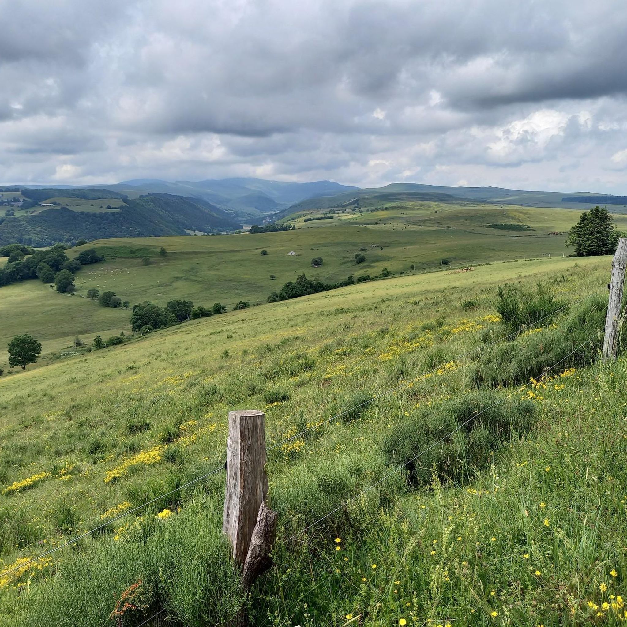
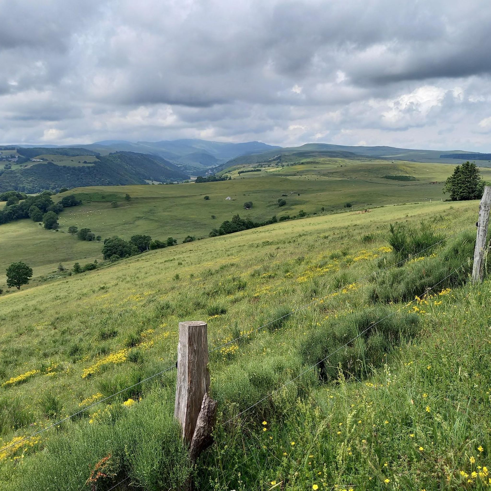
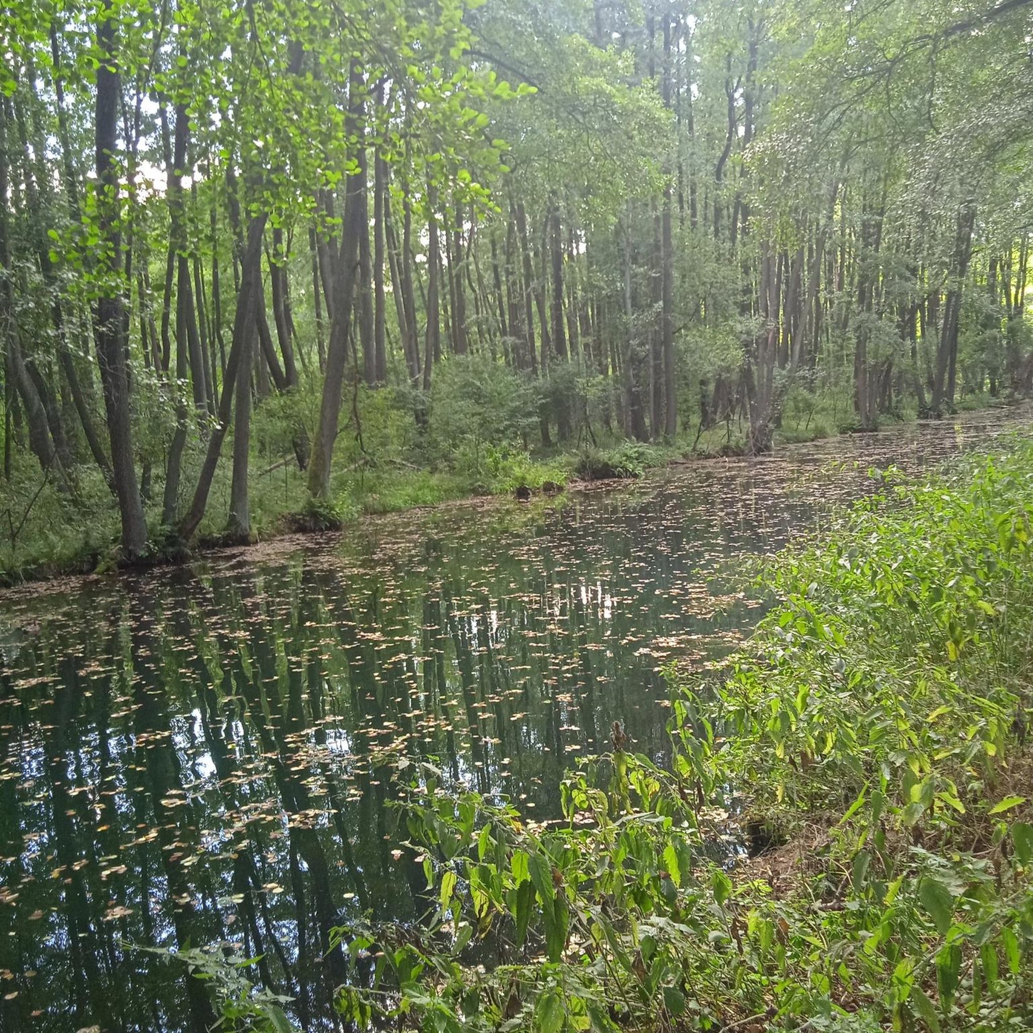
View of the river and the grandiose and wild gorges of Truyère. The site is classified and is among the Natura 2000 areas. The gorges are home to numerous birds of prey including a large population of peregrine falcons.
0
0

Lovely view of the Truyère which winds through the heart of the green valley. A feast for the eyes !
2
0
One of the biggest dam in Europe which contains more than 1000 hectares of mountain water. A balcony path borders the lake, just after the bridge. A single site!
1
0

Paulhac is a small town of just over 400 inhabitants which is part of the regional natural park of the volcanoes of Auvergne.
0
0
From here there are beautiful views of this river flowing from the Massif Central.
0
0

This section is done by following the Quatre charreire circuit
0
0
Frequently Asked Questions
How many road cycling routes are available around Paulhac?
There are over 18 road cycling routes around Paulhac, catering to various skill levels. These include 12 moderate and 5 difficult routes, offering a wide range of experiences for cyclists.
What kind of terrain can I expect on road cycling routes in Paulhac?
Road cycling in Paulhac offers diverse terrain, characterized by its proximity to the Monts du Cantal and volcanic landscapes. You can expect significant elevation gains, challenging climbs, and scenic descents through forests and along riverbanks. The region provides a dynamic experience with both rolling hills and mountainous passes.
What is the best time of year for road cycling in Paulhac?
The region's mountainous and volcanic landscapes suggest that late spring, summer, and early autumn are generally the best times for road cycling in Paulhac. During these seasons, the weather is typically more stable, and mountain passes are clear of snow, allowing for full access to the diverse routes and scenic views.
Are there challenging road cycling routes in Paulhac?
Yes, Paulhac offers several challenging road cycling routes. For instance, the Col de Prat de Bouc – Pas de Peyrol Pass (1,589 m) loop from Col de Prat-de-Bouc is a difficult 90.7 km trail leading through high mountain passes, often taking over 5 hours to complete. Another demanding option is the Paulhac – Banks of the Truyère loop from Paulhac, a 59 km path featuring challenging climbs and views along the Truyère River.
Are there easier road cycling options for beginners in Paulhac?
While many routes feature significant elevation, there are options suitable for those seeking a less strenuous ride. The region offers routes with mostly paved surfaces and moderate elevation gains. For example, the Aubrac Cows – Paulhac loop from Paulhac is a moderate 38 km trail with rolling hills and scenic countryside views, making it a good choice for those with good basic fitness.
What natural features or landmarks can I see while road cycling in Paulhac?
Road cycling routes around Paulhac offer stunning natural and historical sights. You can explore the volcanic landscapes of the Monts du Cantal and pass by medieval towns like Le Malzieu-Ville. Notable natural highlights include Plomb du Cantal and Puy Peyre-Arse. You might also encounter historical sites such as Sailhant Castle.
Are there any waterfalls accessible from the road cycling routes?
Yes, the region around Paulhac features several beautiful waterfalls that can be incorporated into or viewed near road cycling routes. You might discover Vergnes Waterfall, Arbre de la Biche Waterfall, or Babory Waterfall, offering picturesque stops during your ride.
Are there road cycling routes that are loops around Paulhac?
Many of the road cycling routes in Paulhac are designed as loops, allowing you to start and end in the same location. Examples include the Aubrac Cows – Paulhac loop from Paulhac and the Paulhac – Banks of the Truyère loop from Paulhac, providing convenient circular journeys.
Is Paulhac suitable for family-friendly road cycling?
While many routes in Paulhac feature significant elevation, there are easier options with mostly paved surfaces that can be suitable for families with older children or those seeking a more relaxed ride. Look for routes classified as 'easy' or 'moderate' with lower elevation gains, typically under 2 hours, for a more family-friendly experience.
Can I find places to eat or drink along the road cycling routes in Paulhac?
The region around Paulhac includes charming medieval towns and villages like Le Malzieu-Ville and Saint-Flour. These locations often have cafes, pubs, and restaurants where cyclists can stop for refreshments. Planning your route to pass through these towns will ensure you have opportunities for breaks and meals.
What are the parking options for road cyclists in Paulhac?
Specific parking information for individual routes is best found on the detailed route pages. However, as a general rule, starting points in or near villages like Paulhac often provide public parking facilities. For routes starting from more remote areas, look for designated parking spots or inquire locally.
What do other road cyclists enjoy most about the routes in Paulhac?
The road cycling routes in Paulhac are highly rated by the komoot community, with an average score of 4.7 stars from over 40 reviews. Cyclists often praise the diverse terrain, the rewarding climbs amidst picturesque scenery, and the stunning volcanic landscapes of the Monts du Cantal. The variety of routes, from moderate to very challenging, is also a frequently highlighted positive aspect.
Most popular attractions around Paulhac

Get inspired with the komoot mobile app


Explore more
Browse the best Road cycling routes in other regions.
