The best mountain hikes around Einsiedeln
4.9
(95)
856
hikers
60
hikes
Mountaineering routes around Einsiedeln are set on a picturesque plateau at nearly 900 meters above sea level, at the foot of the Alps. The region is characterized by diverse natural landscapes, including mountains, meadows, and forests, with the Sihlsee, Switzerland's largest artificial lake, as a central feature. This varied terrain offers a range of mountaineering opportunities, from challenging ridge hikes to more moderate summit loops.
Best mountaineering routes around Einsiedeln
- The most popular mountaineering route is Mutteristock Summit – Redertenstock…
Last updated: October 10, 2026
5.0
(3)
19
hikers
9.62km
05:59
1,110m
1,110m
Hard mountaineering route. Very good fitness required. Sure-footedness, sturdy shoes and alpine experience required.
5.0
(1)
25
hikers
9.92km
03:12
420m
420m
Moderate mountaineering route. Good fitness required. Easily-accessible paths. Suitable for all skill levels.

5.0
(4)
10
hikers
12.5km
06:30
1,110m
1,110m
Hard mountaineering route. Very good fitness required. Sure-footedness, sturdy shoes and alpine experience required.
6
hikers
17.6km
06:44
960m
960m
Hard mountaineering route. Very good fitness required. Mostly accessible paths. Sure-footedness required.
5
hikers
14.6km
07:39
1,310m
1,300m
Hard mountaineering route. Very good fitness required. Sure-footedness, sturdy shoes and alpine experience required.
8
hikers
8.45km
03:13
580m
580m
Moderate mountaineering route. Good fitness required. Mostly accessible paths. Sure-footedness required.
6
hikers
11.4km
04:13
700m
700m
Moderate mountaineering route. Good fitness required. Easily-accessible paths. Suitable for all skill levels.
3
hikers
16.1km
05:39
850m
850m
Hard mountaineering route. Very good fitness required. Mostly accessible paths. Sure-footedness required.
Get access to more routes and recommendations from other explorers.
Already have an account?
Our route recommendations are based on thousands of hikes, rides, and runs completed by other people on komoot.
Start today with a free account
Your next adventure awaits.
Popular around Einsiedeln
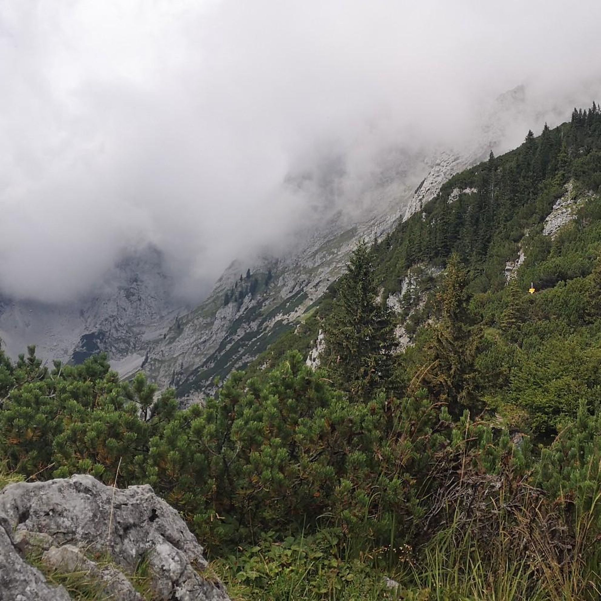
Mountain Hikes around Sihlsee

Alpine Panorama Trail in Switzerland – Keep your eyes on the mountains
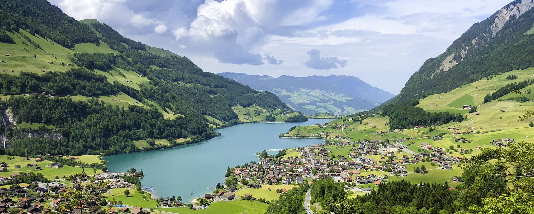
The Lakes Route – Picture-postcard views in the Swiss alpine foothills
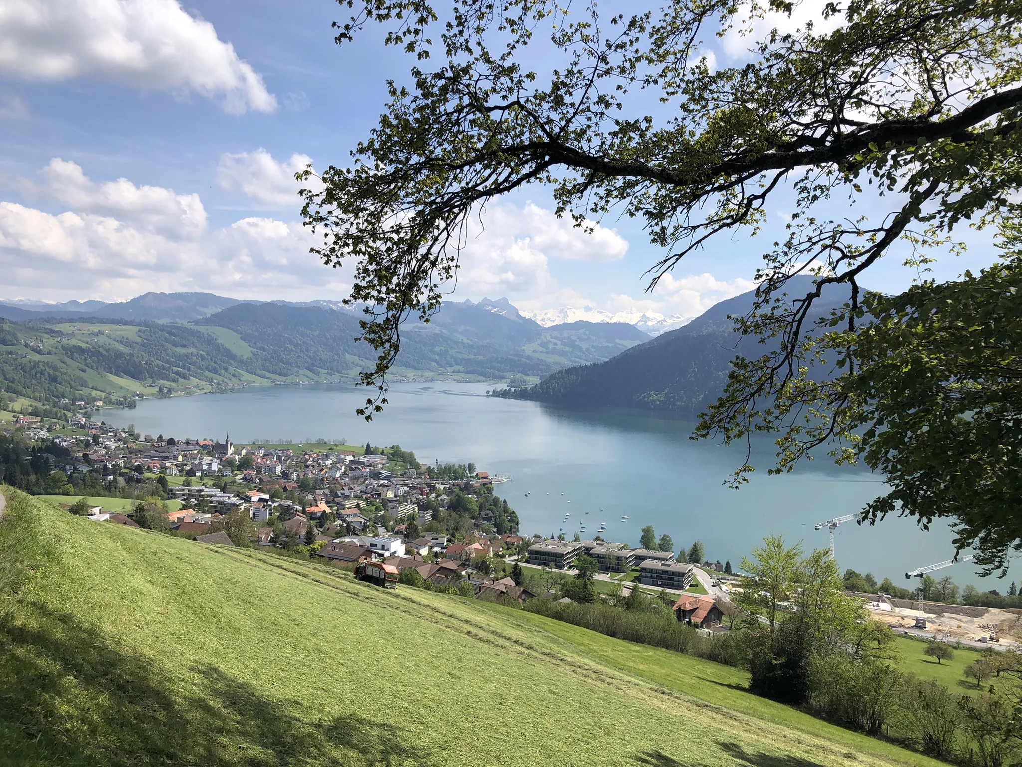
The Herzroute – Cycling through the heart of Switzerland

Via Jacobi – Following the Way of St James across Switzerland
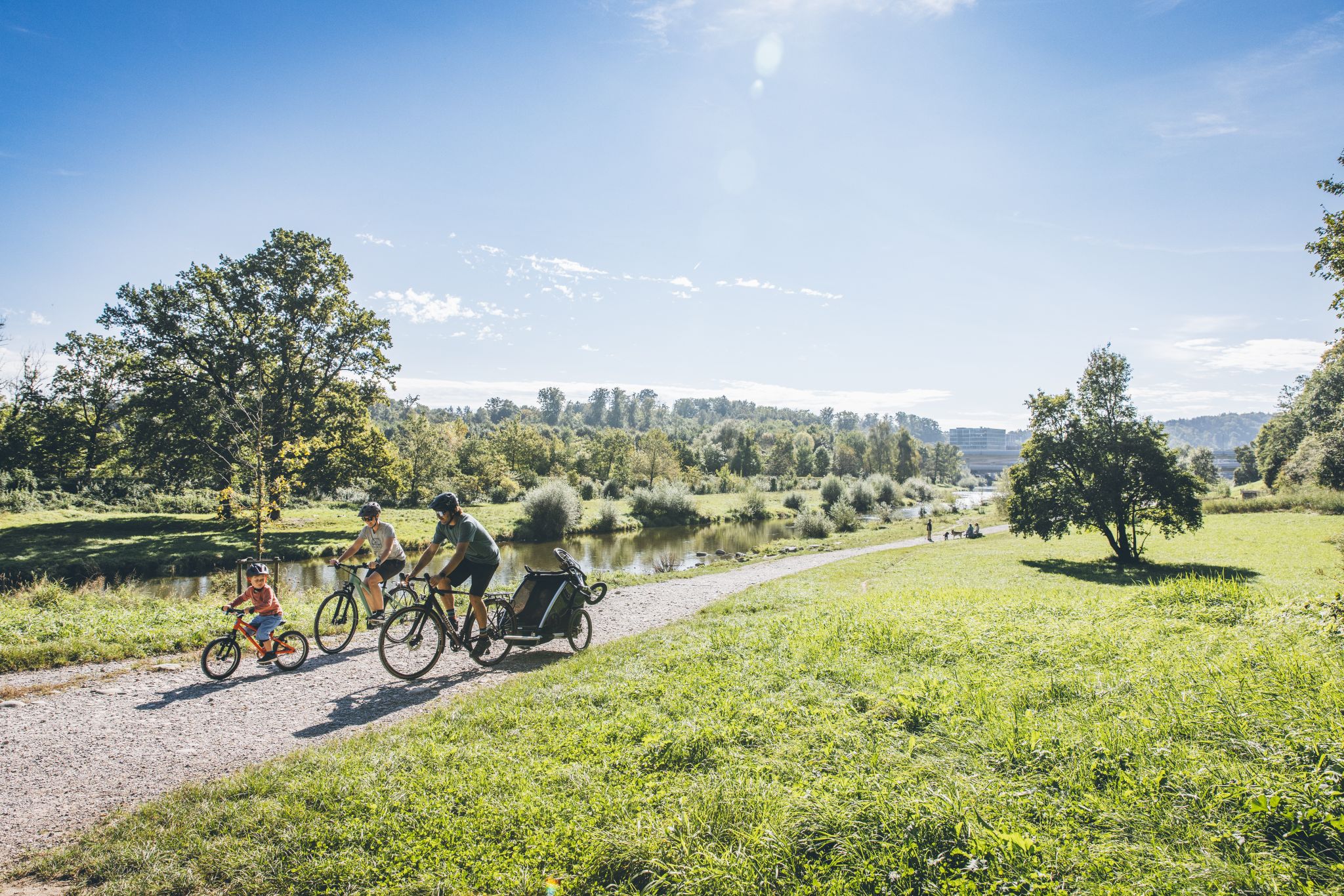
Family fun on two wheels – cycling routes with children around Zürich

Lake and Alps Adventure – explore 100 dreamy places in our cycling region!
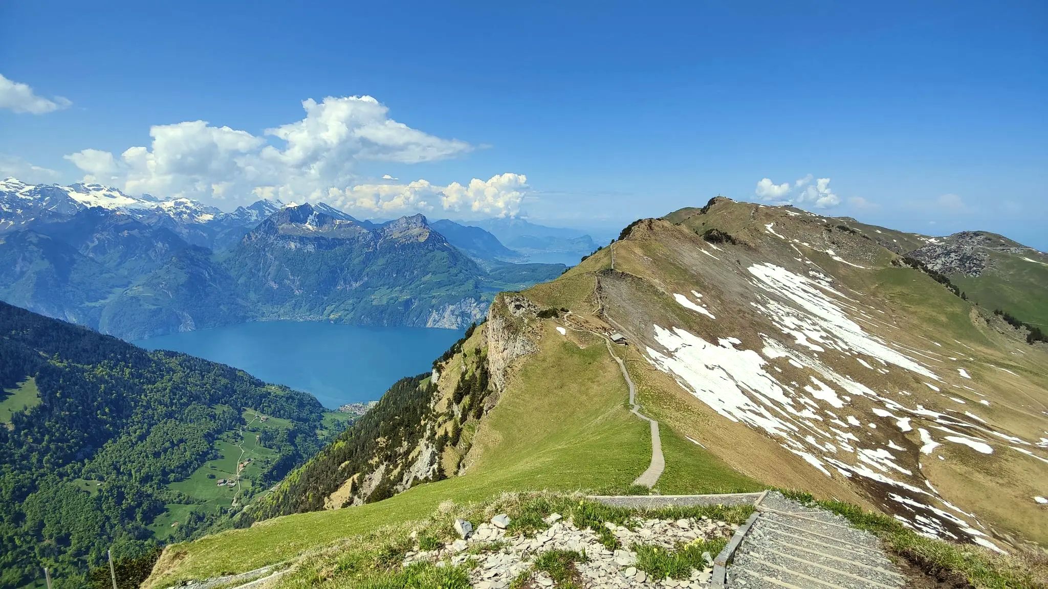
Spectacular panoramas – hiking in the Canton of Schwyz
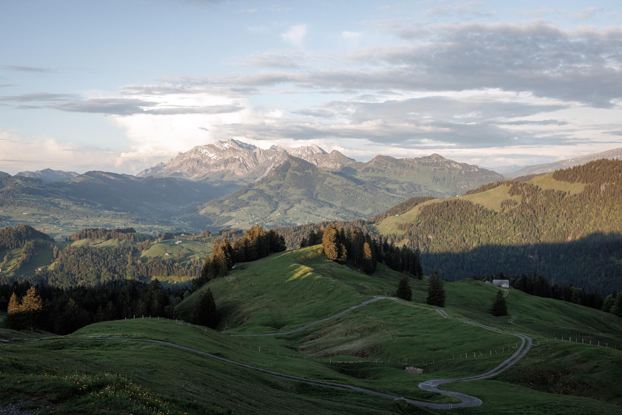
Züri Escape Challenge
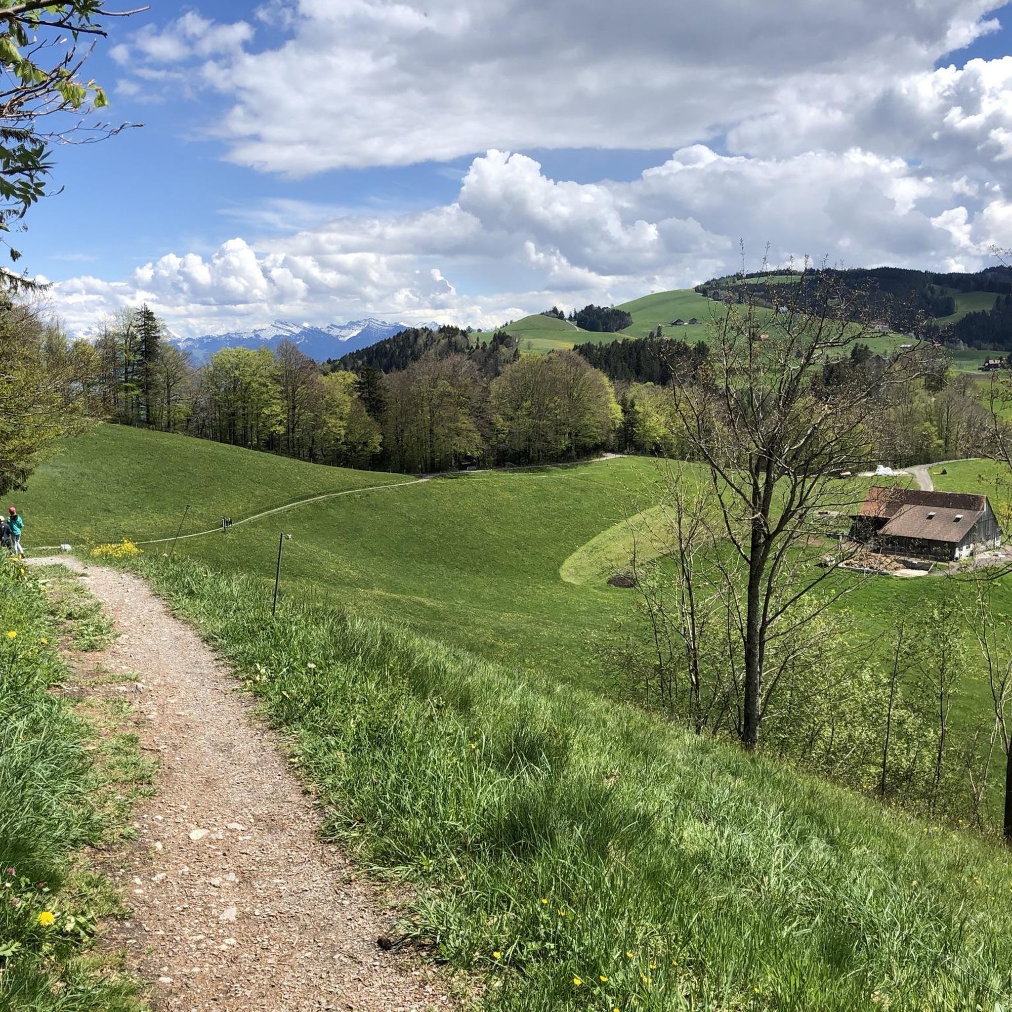
Hiking around Einsiedeln
Other adventures around Einsiedeln


Tips from the Community

It is located on cycling and bike paths, you pass by occasionally, and you can replenish your fluid balance in the restaurant after the climb.
0
0

Beautiful viewpoint summit, easily accessible from Wildegg.
0
0
Much visited crossing from Sihlsee to Wägitaler See. Also turn-off direction Rtg Chli Aubrig/Wildegg resp. direction Rtg Rinderweihorn/Pfiffegg.
0
0

pretty here, very pretty
0
1
Frequently Asked Questions
How many mountaineering routes are available around Einsiedeln?
The Einsiedeln region offers a wide array of mountaineering opportunities, with a total of 68 routes. These include 19 moderate and 49 difficult trails, catering to various skill levels.
What kind of terrain can I expect on mountaineering routes near Einsiedeln?
Mountaineering routes around Einsiedeln feature diverse terrain, ranging from alpine meadows and forests to challenging ridge hikes and summit ascents. The region is characterized by its picturesque plateau, the Sihlsee, and the foothills of the Alps, offering varied landscapes for exploration.
Are there any family-friendly mountaineering options in Einsiedeln?
While many mountaineering routes in Einsiedeln are rated moderate to difficult, the region's diverse landscape also offers easier hiking trails suitable for families. For specific family-friendly options, it's best to check individual route descriptions for difficulty and terrain, as some moderate routes might be suitable depending on the family's experience.
Can I bring my dog on mountaineering trails in Einsiedeln?
Many trails in the Einsiedeln region are dog-friendly, but it's always recommended to check specific route regulations or local signage. Ensure your dog is well-behaved, kept on a leash where required, and that you carry waste bags. Some routes may involve challenging terrain or livestock, so consider your dog's fitness and safety.
What are some challenging mountaineering routes for experienced climbers?
For experienced mountaineers seeking a challenge, Einsiedeln offers several demanding routes. Consider the Mutteristock Summit – Redertenstock loop from Au, a difficult 9.0-mile trail with extensive views, or the Ridge Trail to Turner – Fluebrig Ridge Hike loop from Au, known for its exposed sections and panoramic vistas.
Are there routes that offer panoramic views or lead to notable landmarks?
Absolutely. Many routes in Einsiedeln provide stunning panoramic views. For instance, the Chli Aubrig Summit – Gross Aubrig Summit loop from Sattelegg offers fantastic vistas. The region also features landmarks like the Spitalberg (1,574 m), which provides wonderful all-around views, and the Etzelpass loop from Pfäffikon SZ, leading to the historic Etzel Pass with its chapel and views.
How can I access the mountaineering routes using public transport?
Einsiedeln is generally well-connected by public transport. Many trailheads are accessible via local bus services from Einsiedeln train station. For example, routes starting from Sattelegg or Au can often be reached by bus. It's advisable to check local transport schedules for specific starting points before your trip.
Are there circular mountaineering routes available in the Einsiedeln region?
Yes, the Einsiedeln region features numerous circular mountaineering routes, allowing you to start and end at the same point. Examples include the Alp Wildegg Mountain Hut – Chli Aubrig Summit loop from Sattelegg and the Redertenstock – Mutteristock Summit loop from Au, which are popular choices for their scenic loops.
What is the best time of year for mountaineering in Einsiedeln?
The best time for mountaineering in Einsiedeln is typically from late spring to early autumn (May to October), when trails are clear of snow and weather conditions are generally stable. However, the region also offers winter sports, so some routes might be suitable for snowshoeing or ski touring during colder months, requiring appropriate gear and avalanche awareness.
What are some natural attractions or points of interest I might see while mountaineering?
Beyond the stunning mountain views, you can encounter several natural attractions. The Sihlsee, Switzerland's largest artificial lake, is a prominent feature, with trails often offering views of its expanse. You might also discover the Dreiwässeren Nature Reserve or the dramatic Chräbelbach Gorge.
Are there options for winter mountaineering or other winter sports in the area?
While this guide focuses on mountaineering, the Einsiedeln region transforms into a winter sports paradise. Areas like Hoch-Ybrig and the Mythen region offer opportunities for cross-country skiing, downhill skiing, and ice skating. Some mountaineering routes may be suitable for snowshoeing or ski touring, but always check conditions and avalanche warnings.
What do other mountaineers say about the routes around Einsiedeln?
The mountaineering routes around Einsiedeln are highly regarded by the komoot community, boasting an impressive average rating of 4.8 stars from over 80 reviews. Mountaineers frequently praise the diverse terrain, the extensive views from summits, and the challenging yet rewarding nature of the trails.
Are there any moderate mountaineering routes for those looking for a less strenuous climb?
Yes, Einsiedeln offers 19 moderate mountaineering routes for those seeking a less strenuous but still rewarding experience. An example is the Alp Wildegg Mountain Hut – Chli Aubrig Summit loop from Sattelegg, which leads through alpine meadows and to a summit, often completed in about 3 hours.
Is it possible to combine mountaineering with water activities like swimming?
The prominent Sihlsee, Switzerland's largest artificial lake, is a central feature of the Einsiedeln region. While mountaineering routes typically focus on higher elevations, many trails offer views of the lake, and it's possible to combine a mountaineering trip with a refreshing swim or other water sports at the Sihlsee, especially during warmer months.
Most popular routes around Einsiedeln
Most popular attractions around Einsiedeln

Get inspired with the komoot mobile app


Didn’t find what you were looking for?
Check out more Mountain Hikes & Routes throughout Einsiedeln below and find the perfect route in your destination.
Explore more
Browse the best Mountain Hikes & Routes in other regions.
