The best MTB trails around Ilhat
4.3
(78)
334
riders
56
rides
Mountain bike trails around Ilhat are set within the diverse landscapes of the Ariège department in southwestern France. The region features varied topography, with elevations ranging from 397 meters to 770 meters, providing a mix of ascents and descents. River valleys, such as those formed by the Douctouyre river and the gorges de Péreille, create natural features for trails. Protected natural zones contribute to well-preserved environments for outdoor activities.
Best mountain bike trails around Ilhat
- The most popular mountain bike…
Last updated: October 7, 2026
4.9
(7)
14
riders
32.2km
02:25
450m
450m
Moderate mountain bike ride. Good fitness required. Suitable for all skill levels.
4.8
(9)
19
riders
44.0km
04:38
1,480m
1,480m
Hard mountain bike ride. Very good fitness required. Advanced riding skills necessary. Some portions of the route may require you to push your bike.

4.7
(3)
15
riders
34.7km
02:30
650m
650m
Hard mountain bike ride. Good fitness required. Advanced riding skills necessary. Some portions of the route may require you to push your bike.
2.5
(2)
5
riders
20.5km
01:49
380m
380m
Moderate mountain bike ride. Good fitness required. Suitable for all skill levels.
4.0
(5)
8
riders
35.9km
02:34
260m
260m
Moderate mountain bike ride. Good fitness required. Advanced riding skills necessary.
Get access to more routes and recommendations from other explorers.
Already have an account?
Our route recommendations are based on thousands of hikes, rides, and runs completed by other people on komoot.
Start today with a free account
Your next adventure awaits.
Tips from the Community

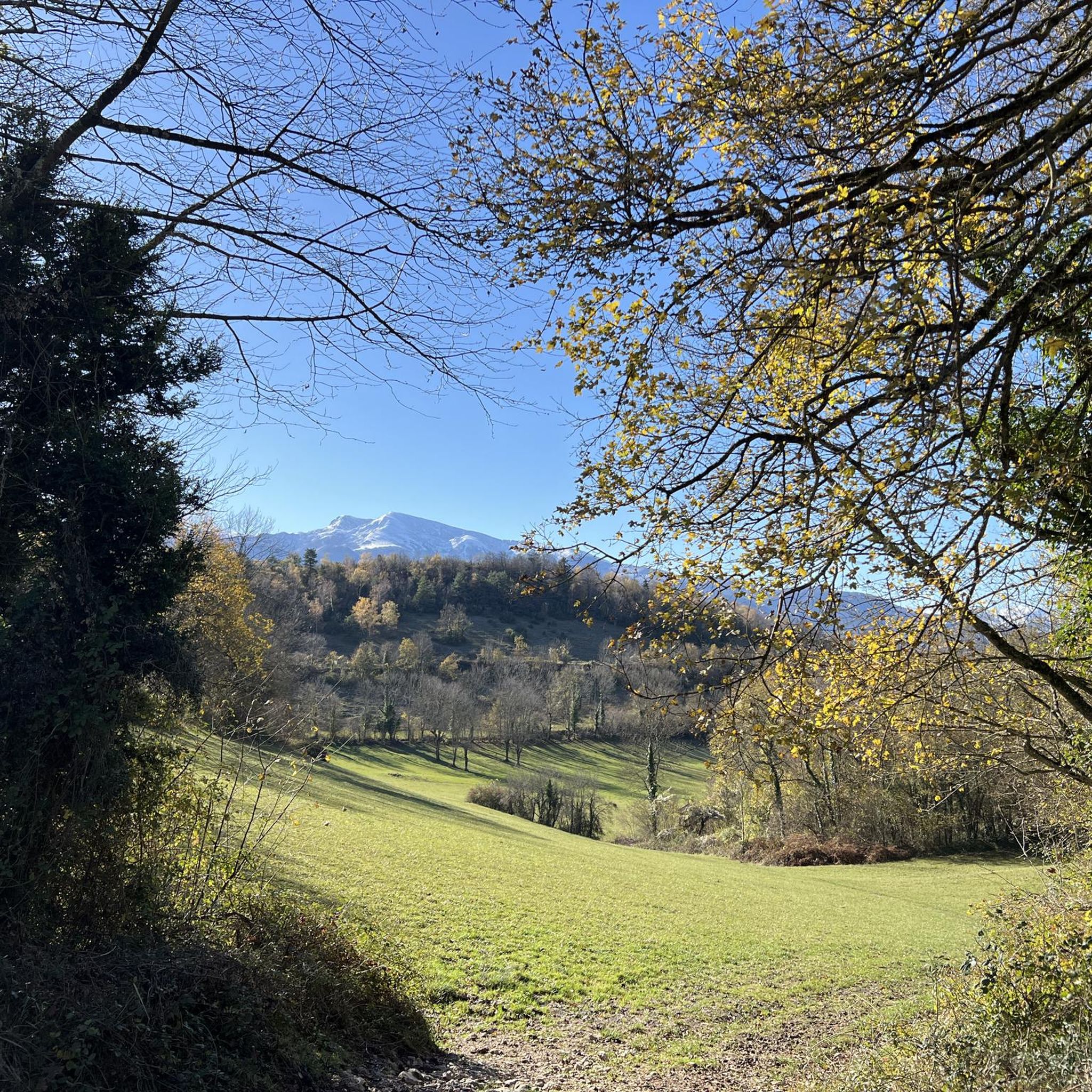
Beautiful view of the "safe mountain" - the somewhat arduous climb is definitely worth it, because from the top you have a fantastic view ☺️
1
0

Short but difficult, plus the heat...I had raindrops 🥵
0
0

By Hugues-Olivier Dumez Published on April 3, 2025 at 6:32 a.m. "Magnificent!", "It's a change from recent years," "The flow is substantial; in 29 years, I've never seen water overflow the side edges at the level of the protective grilles." On social media, comments are pouring in, praising the healthy level of this artificial lake at the foot of the Pyrenees. Located between Ariège and Aude, Lake Montbel is currently filling up like a swimming pool.
0
1

very nice pass, first 5 km a little difficult but nothing more, then very smooth and very beautiful view
0
0

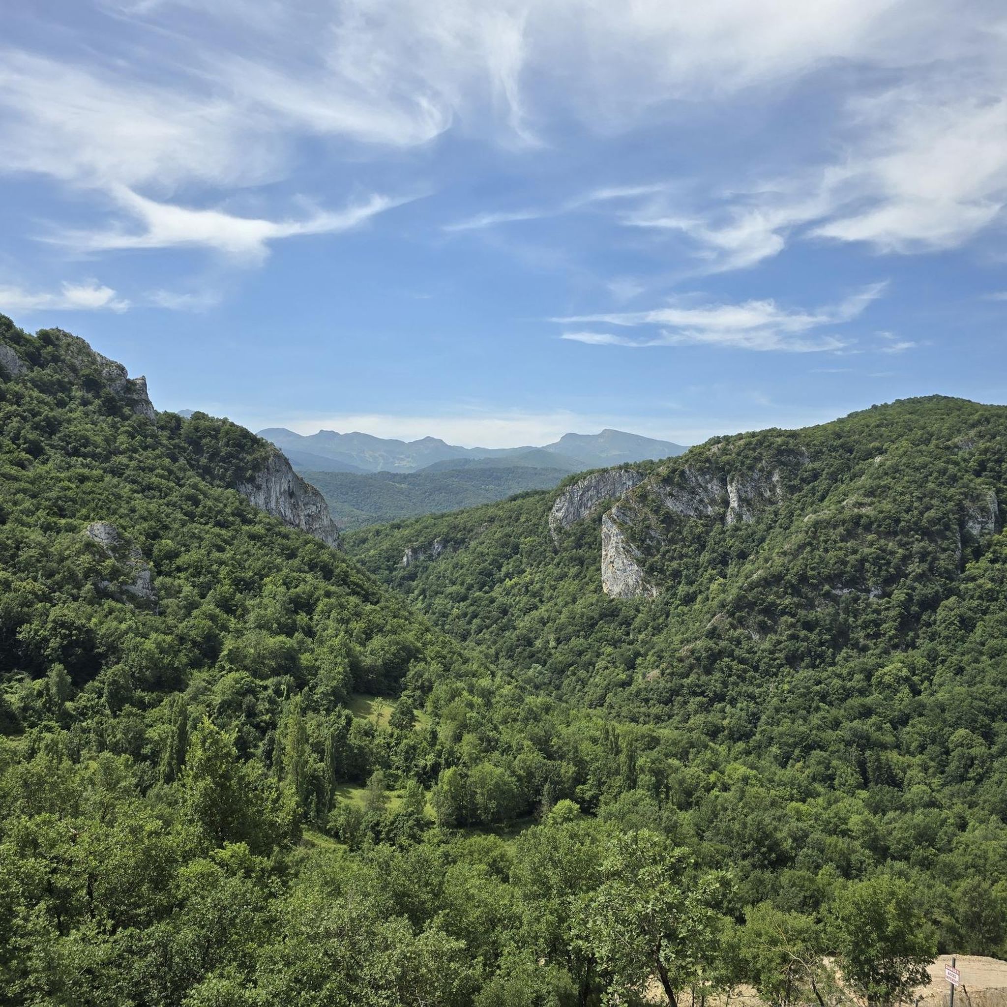
Beautiful view of the heights, continuing the road we have beautiful landscapes!
0
0
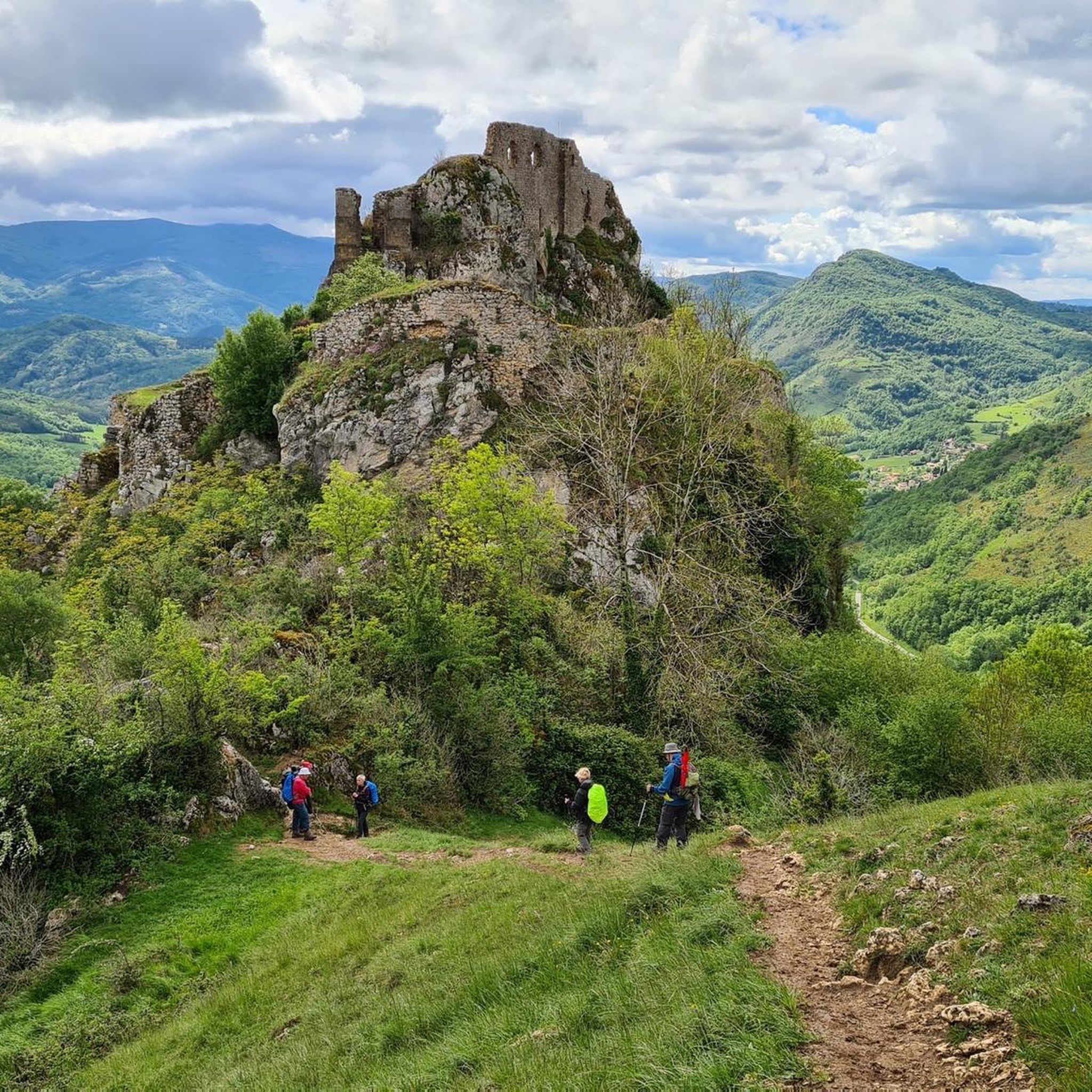
Nice pass with a very nice view! Nice view of the castle (which despite being visibly in ruins is paying for the visit)
0
0

Montferrier is a town in Ariège, in the Occitanie region, 25 km southeast of Foix. Its territory of nearly 52 km² ranges from 548 to 2,343 m above sea level and is crossed by the course of the Touyre and dominated to the south by the massif of Tabe also known as Saint-Barthélemy and the Col de Girabal.
1
0
Frequently Asked Questions
How many mountain bike trails are there around Ilhat?
The Ilhat area, situated in the Ariège department of the French Pyrenees, offers a diverse network of over 50 mountain bike trails. These routes cater to various skill levels, from easy paths to more challenging ascents, providing a wide range of experiences for mountain bikers.
What kind of terrain can I expect on mountain bike trails near Ilhat?
Mountain biking around Ilhat features a rich variety of terrain, including alpine meadows, dense wooded areas, and steep valleys. You'll encounter everything from smooth forest tracks to technical singletrack with roots and varied ground. The region's topography includes river valleys, such as those formed by the Douctouyre river and the gorges de Péreille, creating dynamic natural features for trails.
Are there mountain bike trails suitable for beginners or families around Ilhat?
Yes, the region offers several options suitable for beginners and families. For instance, the Hidden caves – Gorge de Pereille loop from Lavelanet is an easy 8.8-mile (14.1 km) trail that takes about an hour to complete, leading through the notable Gorge de Pereille. Additionally, the broader Ariège Pyrenees region has converted railway lines into "Voie Verte" (green lane) bike paths, like the one between Lavelanet and Mirepoix, which are ideal for gentler rides with mild gradients and scenic views.
Are there challenging mountain bike routes for experienced riders?
Absolutely. For experienced riders seeking a challenge, the area provides several difficult routes. A notable option is the Camon Railway Tunnel – Camon Village loop from Lavelanet, a demanding 40.2-mile (64.8 km) trail that typically takes over 5 hours to complete, offering a challenging ride through varied landscapes. Another difficult route is the La Lauze Pass – Montferrier loop from Lavelanet, spanning 44.0 miles (70.8 km) with significant elevation changes.
Can I find circular mountain bike routes in the Ilhat area?
Yes, many of the mountain bike trails around Ilhat are designed as loops, allowing you to start and finish at the same point. Examples include the Bélesta – La Bastide-sur-l'Hers loop from Villeneuve-d'Olmes, a moderate 20.0-mile (32.2 km) path, and the La Lauze Pass – Col de Montségur loop from Lavelanet, a moderate 42.4-mile (68.2 km) route.
What are some notable natural features or landmarks I can see while mountain biking near Ilhat?
The region around Ilhat is rich in natural beauty and historical landmarks. You can explore river valleys, such as the Douctouyre river, and the dramatic gorges de Péreille. The broader Ariège Pyrenees also features serene mountain lakes and impressive waterfalls. For historical sights, you might encounter castles like Roquefixade Castle or Montségur Castle, which offer breathtaking views and a glimpse into the region's past.
What do other mountain bikers say about the trails around Ilhat?
The mountain bike trails around Ilhat are highly rated by the komoot community, with an average score of 4.2 stars from over 70 reviews. Mountain bikers frequently praise the diverse topography, the well-preserved natural environments, and the variety of options available for different ability levels.
What is the best time of year to go mountain biking in Ilhat?
The Ariège Pyrenees region, including Ilhat, generally offers excellent conditions for mountain biking from spring through autumn. During these seasons, the weather is typically mild, and trails are clear of snow, allowing access to the full range of terrain from lower valleys to higher plateaus. Summer provides longer daylight hours, while spring and autumn offer cooler temperatures and vibrant scenery.
Are there options for longer, multi-hour mountain bike tours?
Yes, the Ilhat area provides several routes suitable for longer, multi-hour mountain bike tours. For instance, the Camon Railway Tunnel – Camon Village loop from Lavelanet is a difficult 40.2-mile (64.8 km) trail that takes approximately 5 hours to complete. Another substantial option is the La Lauze Pass – Montferrier loop from Lavelanet, a difficult 44.0-mile (70.8 km) route.
Is it possible to rent e-bikes in the area to make challenging routes more accessible?
Yes, e-bike rentals are available in the wider Foix and Lavelanet area, making some of the more challenging routes and longer distances more accessible to a broader range of visitors. This allows riders to enjoy the diverse terrain and stunning landscapes with an added boost.
Are there any specific passes or viewpoints to look out for on the trails?
While specific named viewpoints aren't detailed for every trail, the diverse topography of the Ariège Pyrenees means many routes offer panoramic vistas. Trails that ascend to passes like La Lauze Pass or Col de Montségur, such as the La Lauze Pass – Col de Montségur loop from Lavelanet, will naturally provide elevated perspectives of the surrounding mountains and valleys.
Most popular attractions around Ilhat

Get inspired with the komoot mobile app


Explore more
Browse the best MTB trails in other regions.
