The best running trails around Saint-Léger
4.0
(13)
402
runners
64
runs
Jogging routes around Saint-Léger are primarily characterized by flat, accessible paths, often following waterways. The region features canal-side trails, offering consistent terrain suitable for various fitness levels. While some routes include gentle hills, the overall landscape provides a mix of open areas and natural settings for running.
Best jogging routes around Saint-Léger
- The most popular jogging route is Canal-Side Picnic Area – Buzet-sur-Baïse Lock loop from Buzet-sur-Baïse, a 7.5 miles (12.1 km) trail that takes 1 hour 14 minutes…
Last updated: July 8, 2026
27
runners
12.1km
01:15
20m
20m
Moderate run. Good fitness required. Mostly paved surfaces. Suitable for all skill levels.
21
runners
Moderate run. Good fitness required. Mostly paved surfaces. Suitable for all skill levels.

Sign up for free
21
runners
16.2km
01:42
40m
40m
Hard run. Very good fitness required. Mostly paved surfaces. Suitable for all skill levels.
12
runners
9.79km
01:18
260m
260m
Moderate run. Good fitness required. Mostly paved surfaces. Suitable for all skill levels.
10
runners
23.1km
02:25
50m
50m
Hard run. Very good fitness required. Mostly paved surfaces. Suitable for all skill levels.
Get access to more routes and recommendations from other explorers.
Sign up for free
Already have an account?
Our route recommendations are based on thousands of hikes, rides, and runs completed by other people on komoot.
Start today with a free account
Your next adventure awaits.
Login or Signup
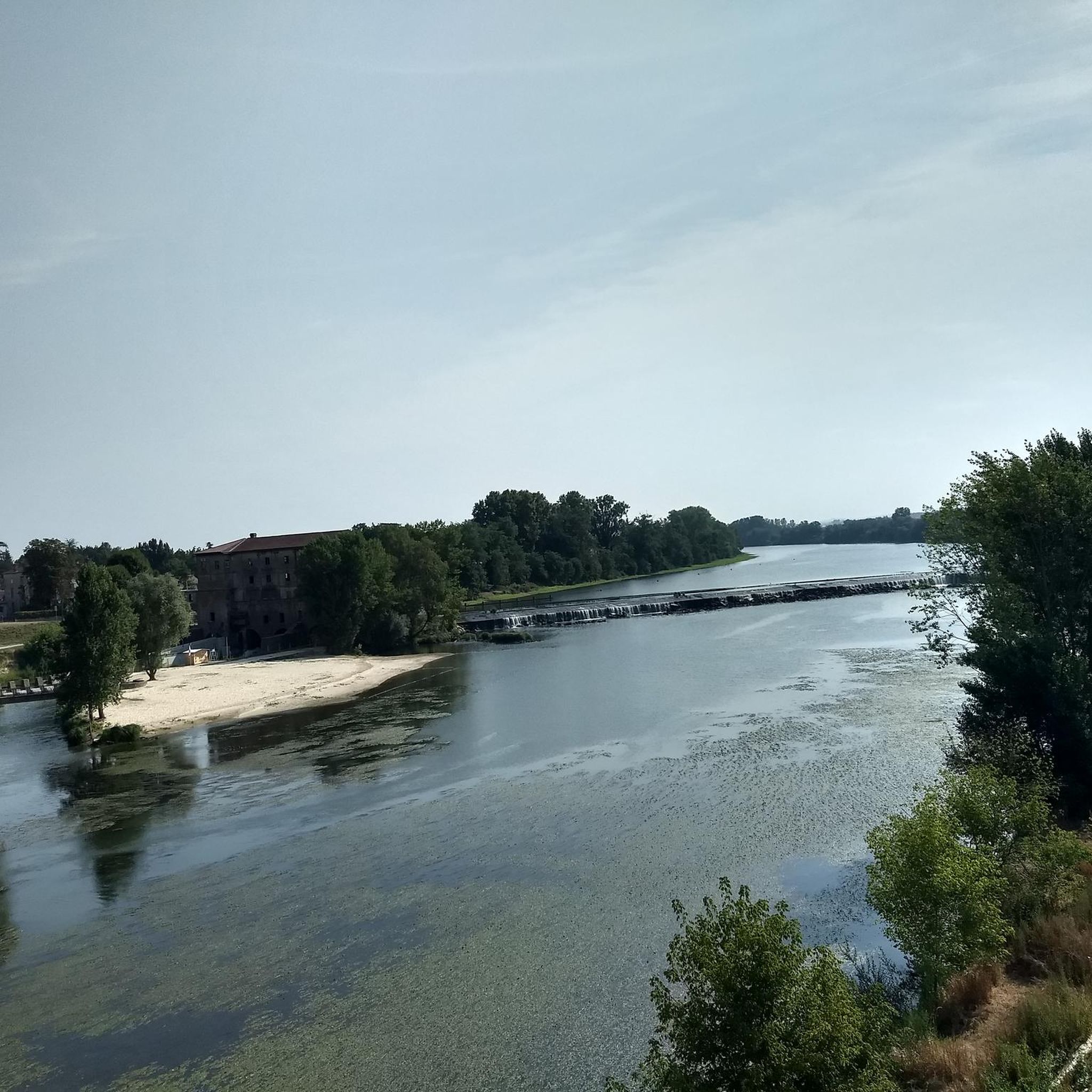

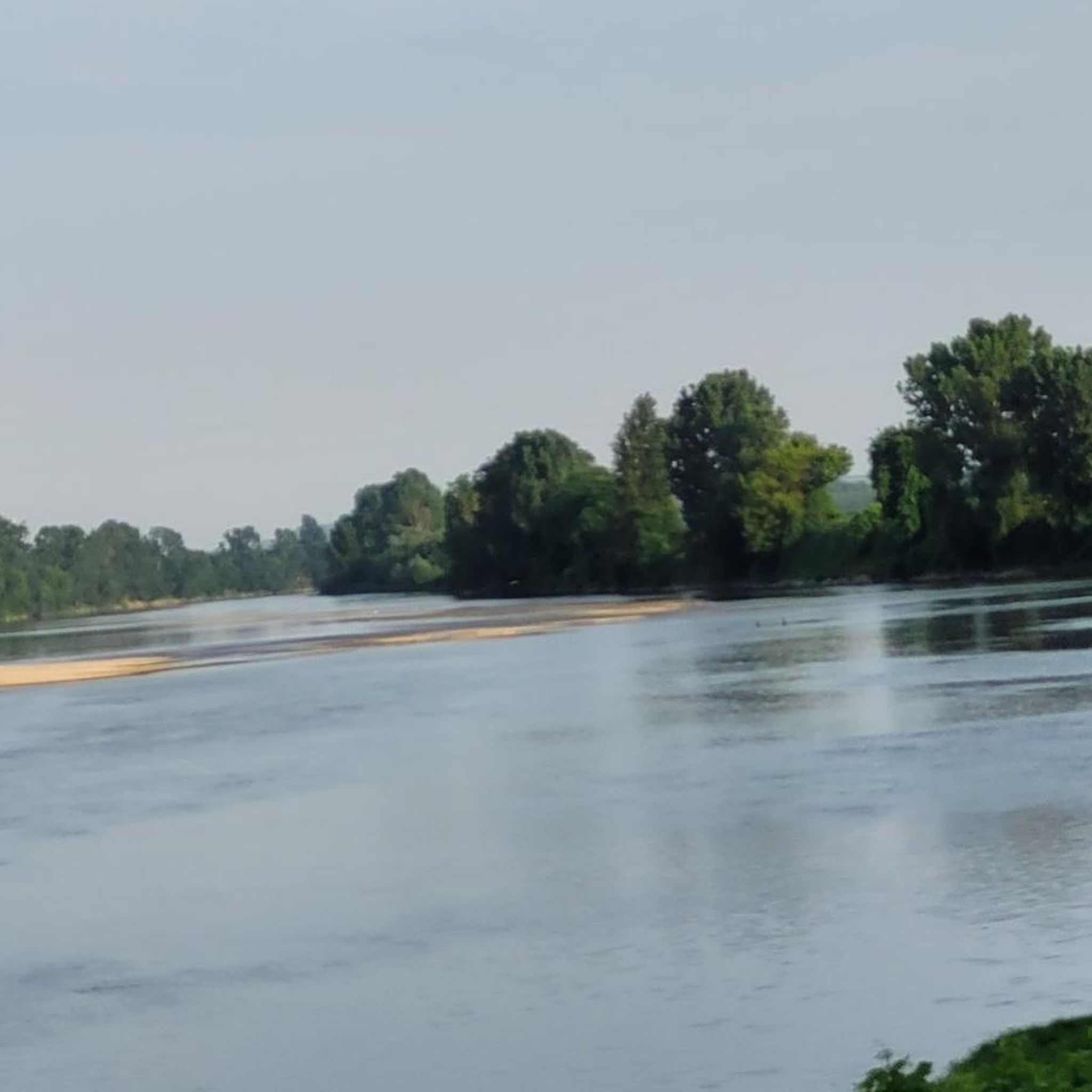
Tips from the Community

Very pleasant and shady and not too crowded.
0
0

The Buzet-sur-Baïse river stop is ideal for taking a break along the Canal Lateral à la Garonne. Perfect for cyclists, with plenty of supplies to stock up on!
0
0

Very pleasant route, mostly asphalted in the shade and at the water's edge of course. However, the Lot-et-Garonne part of this route is more bumpy, the roots lift the tar and make bumps that are sometimes quite significant, so don't be surprised. Another negative point, it is sometimes difficult to find free access water taps, even in the nautical stops you will most of the time have to go and ask for water in the bars or restaurants along the track, or leave the track to go directly to the village cemeteries.
1
0

Quiet and peaceful spot to take a break. With wooden tables for picnicking with a view of the Canal des Deux-Mers.
0
0
Peaceful route by the water, in the shade under the trees 🌳
0
0

Small harbor with resto on the bike path. More information: https://de.wikipedia.org/wiki/Villeton?wprov=sfla1
2
0
Beautiful landscape, beautiful canal, the surface of the bike path could be better. Shady sections, several bridges and locks. More information: https://de.wikipedia.org/wiki/Canal_lat%C3%A9ral_%C3%A0_la_Garonne?wprov=sfla1
5
1

A nice place for a rest. Plenty of seating, but also a restaurant with pizza and the like.
1
0
Frequently Asked Questions
How many running routes are available in Saint-Léger?
There are over 50 dedicated running routes around Saint-Léger documented on komoot, offering a variety of distances and difficulty levels. This includes 3 easy routes, 47 moderate routes, and 9 more challenging options for experienced runners.
What kind of terrain can I expect on jogging routes in Saint-Léger?
The jogging routes in Saint-Léger primarily feature flat, accessible paths, often following waterways like canals. You'll find a mix of open areas and natural settings, with some routes including gentle hills. In regions like Saint-Léger-en-Yvelines, many trails are paved, while Saint-Léger in the Alpes-Maritimes offers more mountainous and challenging terrain.
Are there easy jogging routes suitable for beginners in Saint-Léger?
Yes, Saint-Léger offers several easy jogging routes perfect for beginners or those looking for a relaxed run. These typically feature flat terrain and well-maintained paths. For instance, the area around Étang de Hollande in Saint-Léger-en-Yvelines provides moderate loops with mostly paved surfaces suitable for all skill levels.
Are there more challenging running trails for experienced runners in Saint-Léger?
Absolutely. While many routes are moderate, there are 9 difficult running trails for experienced runners seeking a greater challenge. If you're in the Alpes-Maritimes region of Saint-Léger, you'll find mountainous terrain with significant elevation changes, offering strenuous trail running opportunities, especially near areas like Mercantour National Park or high-altitude passes.
What do other runners say about the trails in Saint-Léger?
The running routes in Saint-Léger are highly regarded by the komoot community, with an average rating of 4.0 stars from over 10 reviews. More than 300 runners have explored these varied terrains, often praising the scenic canal-side paths and the mix of accessible and challenging options.
Are there any circular running routes in Saint-Léger?
Yes, many of the running routes in Saint-Léger are circular, offering convenient start and end points. Popular examples include the Canal-Side Picnic Area – Buzet-sur-Baïse Lock loop from Buzet-sur-Baïse, which is 7.5 miles long, and the Canal Latéral à la Garonne – Buzet-sur-Baïse Lock loop from Damazan, a pleasant 6.1-mile path.
Can I find long-distance running options in Saint-Léger?
Yes, Saint-Léger provides options for longer runs. For example, the Canal Latéral à la Garonne loop from Damazan is a 10.1-mile (16.2 km) trail that takes about 1 hour 42 minutes to complete, leading through open canal-side landscapes.
Are there jogging routes with scenic views or landmarks in Saint-Léger?
Many jogging routes in Saint-Léger offer scenic views, particularly those along the Canal Latéral à la Garonne. You might also pass by historical sites such as the Historic Center of Clairac or the Buzet-sur-Baïse Lock. In the Alpes-Maritimes region, routes can offer dramatic natural beauty, including views of Mercantour National Park or the Gorges du Verdon.
Are the jogging paths in Saint-Léger suitable for families?
Yes, many of the flatter, accessible paths, especially those along canals or dedicated fitness trails, are suitable for families. The varied lengths and minimal elevation changes on routes like those around Étang de Hollande make them enjoyable for all ages.
Are dogs allowed on the running trails in Saint-Léger?
While many outdoor areas in France are dog-friendly, specific rules can vary by location, especially within nature parks or protected areas. It's generally advisable to keep dogs on a leash and clean up after them. Always check local signage or specific park regulations for the trail you plan to use.
What are the parking options for accessing running trails in Saint-Léger?
Parking availability varies by trailhead. Many popular routes, especially those starting from towns or picnic areas, will have designated parking. For example, the Canal-Side Picnic Area – Buzet-sur-Baïse Lock loop from Buzet-sur-Baïse suggests a starting point with parking facilities. It's always a good idea to check the route details on komoot for specific parking information.
Can I reach jogging routes in Saint-Léger using public transport?
Public transport options to trailheads in Saint-Léger can vary. While some routes might be accessible via local bus services, especially those closer to villages or towns, others may require private transport. For specific routes, checking local public transport schedules and stops near the trailhead is recommended.
Are there any specific fitness trails in the Saint-Léger area?
Yes, some locations named Saint-Léger feature dedicated fitness trails. For instance, 'Les Terres du Soleil' offers a two-kilometer riverside fitness trail through picturesque woodland on level ground, which is ideal for jogging and leisurely strolls.
What is the best time of year to go running in Saint-Léger?
The best time to go running in Saint-Léger largely depends on your preference and the specific region. Spring and autumn generally offer pleasant temperatures for running, with vibrant scenery. Summer can be warm, especially in the lower-lying areas, making early mornings or evenings ideal. In the mountainous Alpes-Maritimes region, summer and early autumn provide the best conditions for higher-altitude trails, while winter can bring snow and require specialized gear.
Most popular attractions around Saint-Léger

Get inspired with the komoot mobile app


Explore more
Browse the best Running Trails & Routes in other regions.
